

© Sulzbacher

Dati percorsi
9,5km
571
- 810m
231hm
05:00h

- Descrizione rapida
-
Schwierigkeitsgrad: blau
- Valutazione
-
- Punto di partenza
-
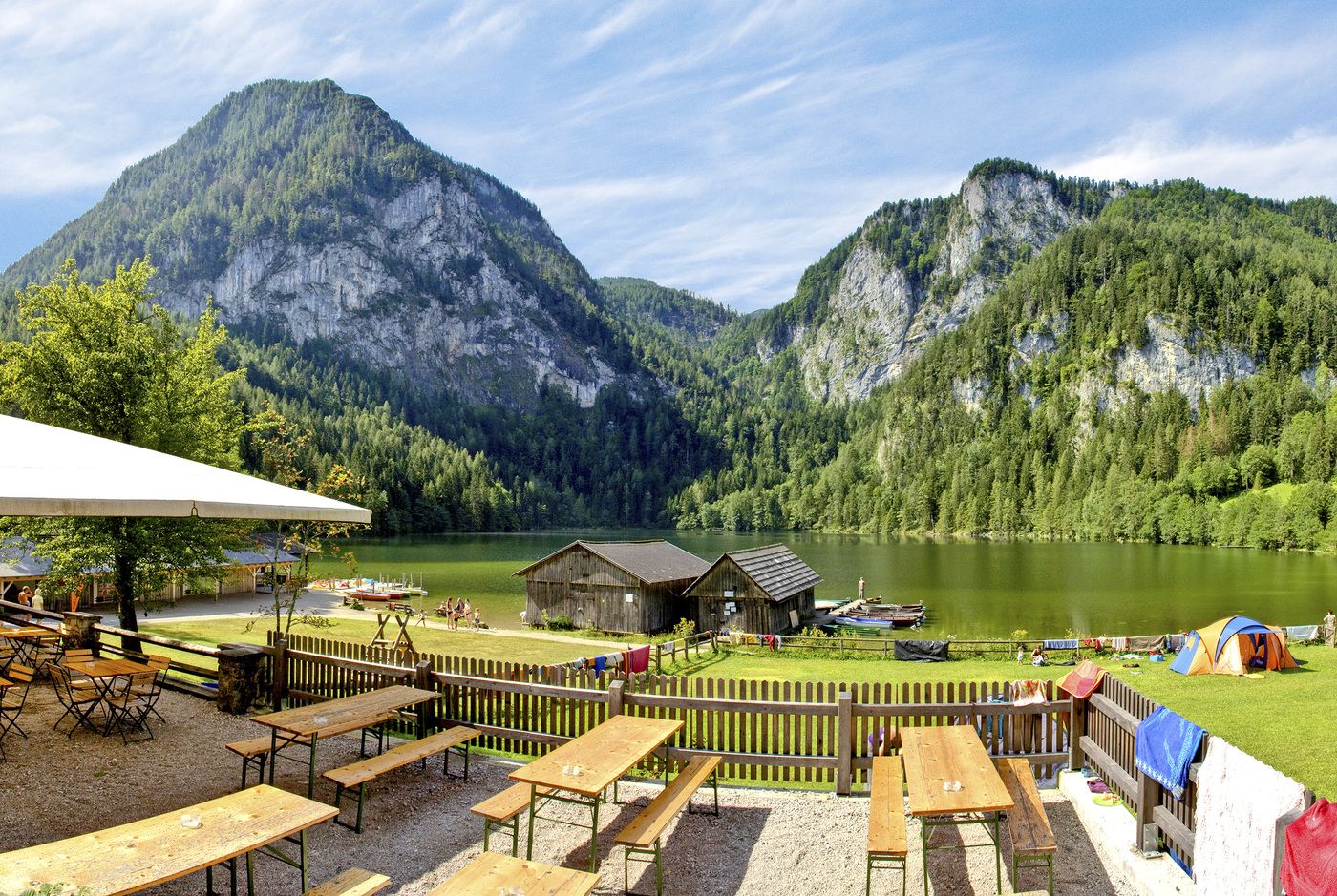
Sie fahren mit dem Bus bis zur Bushaltestelle Teichlbrücke
- Percorso
-
Seebach1,5 kmErlerkapell3,9 kmGasthof Seebauer4,7 km
- Punto più alto
- 810 m
- Riposo/Ritiro
-
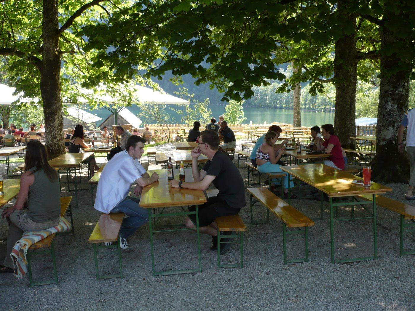
GH Seebauer, GH Tommerl
- Cartine
-
Wanderkarte Pyhrn-Priel erhätlich in allen Pyhrn-Priel Tourismusbüros!
GPS Downloads


Condizioni dei sentieri
Asfalto
Ghiaia
Prato
Foresta
Roccia
Esposta
Altri tour nelle regioni
-
Traunviertel
1940
-
Urlaubsregion Pyhrn - Priel
1440
-
Roßleithen
463


")
