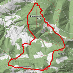
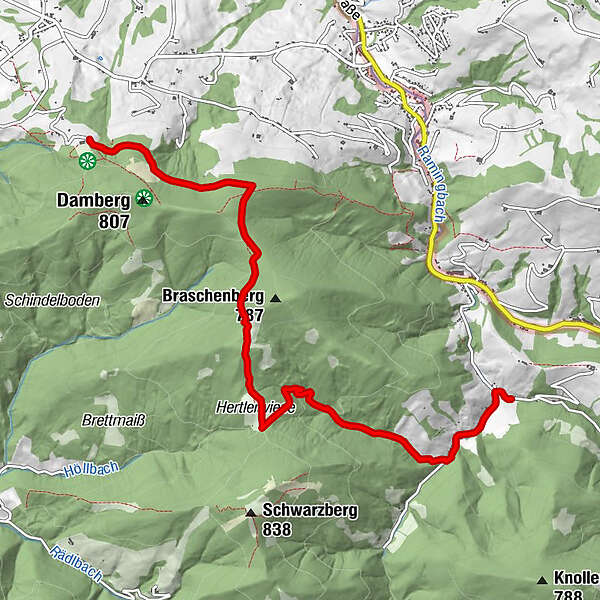
Dati percorsi
7,15km
406
- 758m
103hm
323hm
00:36h
- Descrizione rapida
-
Wanderung - Etappe 2
- Difficoltà
-
intermedio
- Valutazione
-
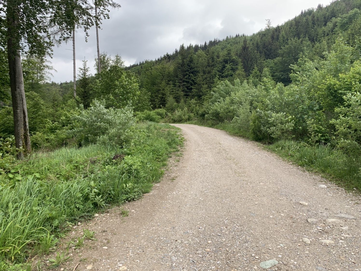
- Percorso
-
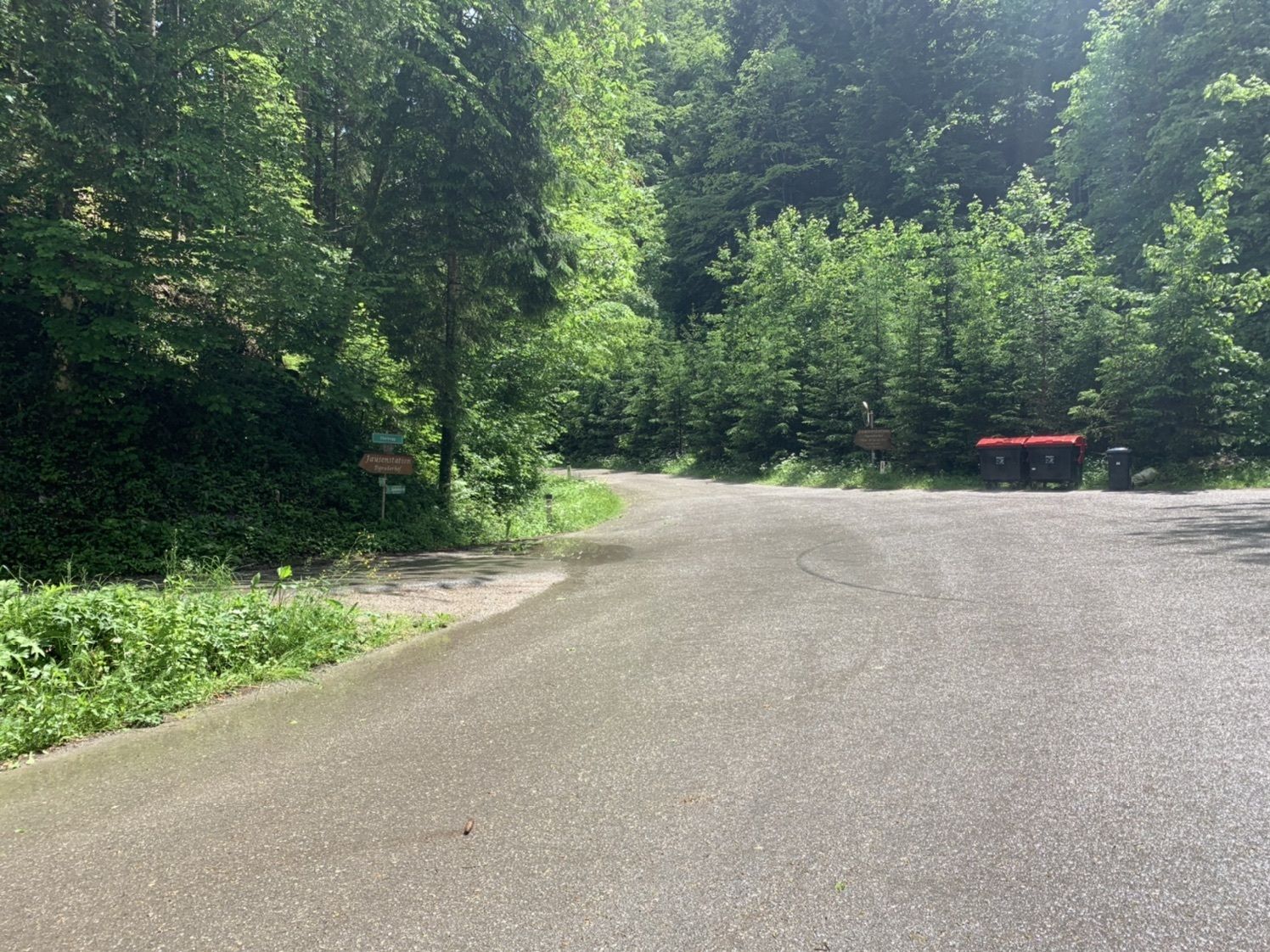
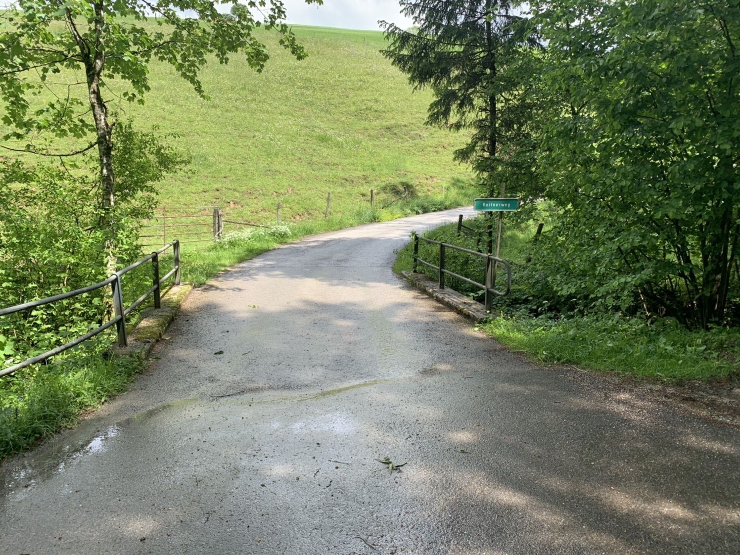
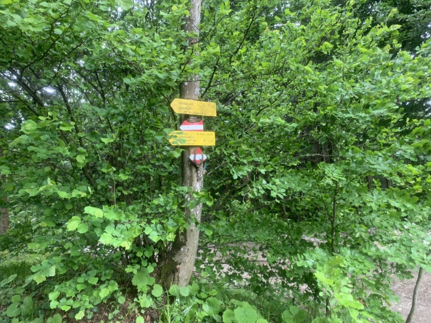
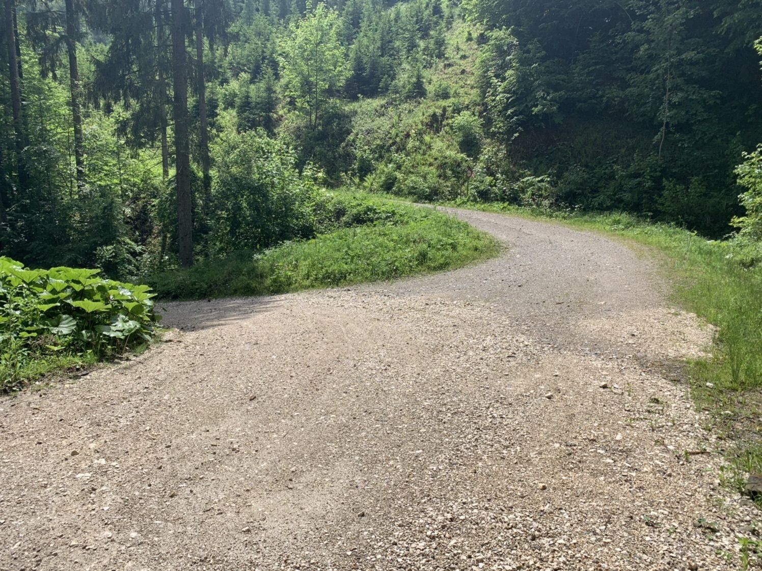
Kohlergraben7,0 km
- La stagione migliore
-
genfebmaraprmaggiulugagosetottnovdic
- Punto più alto
- 758 m
GPS Downloads


Altri tour nelle regioni
-
Traunviertel
1940
-
Steyr und die Nationalpark Region
1371
-
Laussa
349