

© Gemeinde Hinterstoder

© Gemeinde Hinterstoder

© Gemeinde Hinterstoder
Dati percorsi
4,98km
588
- 703m
112hm
02:30h
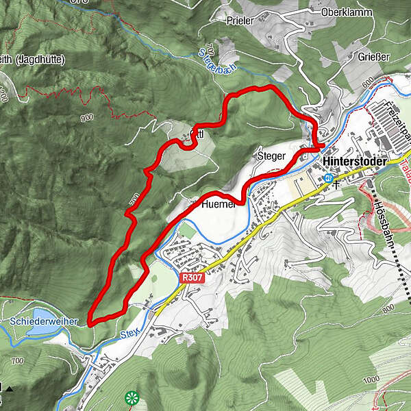
- Difficoltà
-
facile
- Valutazione
-
- Punto di partenza
-
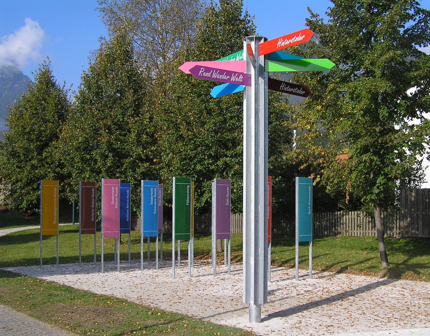
Ortszentrum Hinterstoder
- Percorso
-
HinterstoderHinterstoder4,9 km
- La stagione migliore
-
genfebmaraprmaggiulugagosetottnovdic
- Punto più alto
- 703 m
- Riposo/Ritiro
-
Sportbuffet, Pizzeria Mamamia, Café Annemarie, GH zur Post, Dorfstub´n, Café Gollner, Landgasthof Schmalzerhof
- Cartine
-
Wanderkarte Pyhrn-Priel erhältlich in allen Pyhrn-Priel Tourismusbüros!


GPS Downloads


Altri tour nelle regioni
-
Traunviertel
1940
-
Urlaubsregion Pyhrn - Priel
1440
-
Hinterstoder
395


