
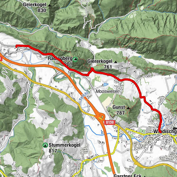
Dati percorsi
5,88km
570
- 638m
71hm
05:00h
- Descrizione rapida
-
Schwierigkeitsgrad: blau
- Valutazione
-
- Punto di partenza
-
Zentrum Windischgarsten
- Percorso
-
WindischgarstenPlatzer-Kapelle1,4 kmRading2,7 kmLengau5,8 km
- Punto più alto
- 638 m
- Cartine
-
Wanderkarte Pyhrn-Priel erhätlich in allen Pyhrn-Priel Tourismusbüros!
GPS Downloads


Condizioni dei sentieri
Asfalto
Ghiaia
Prato
Foresta
Roccia
Esposta
Altri tour nelle regioni
-
Traunviertel
1940
-
Urlaubsregion Pyhrn - Priel
1440
-
Windischgarstner Tal
435


