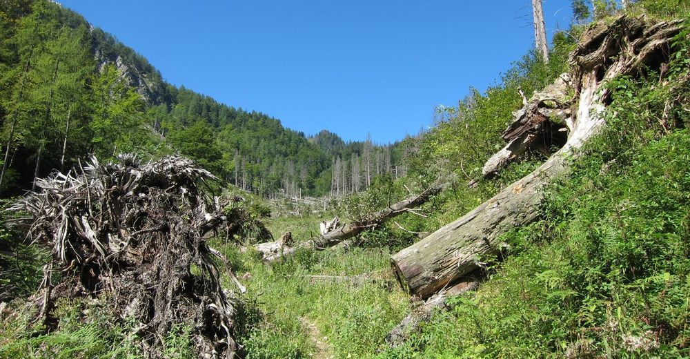
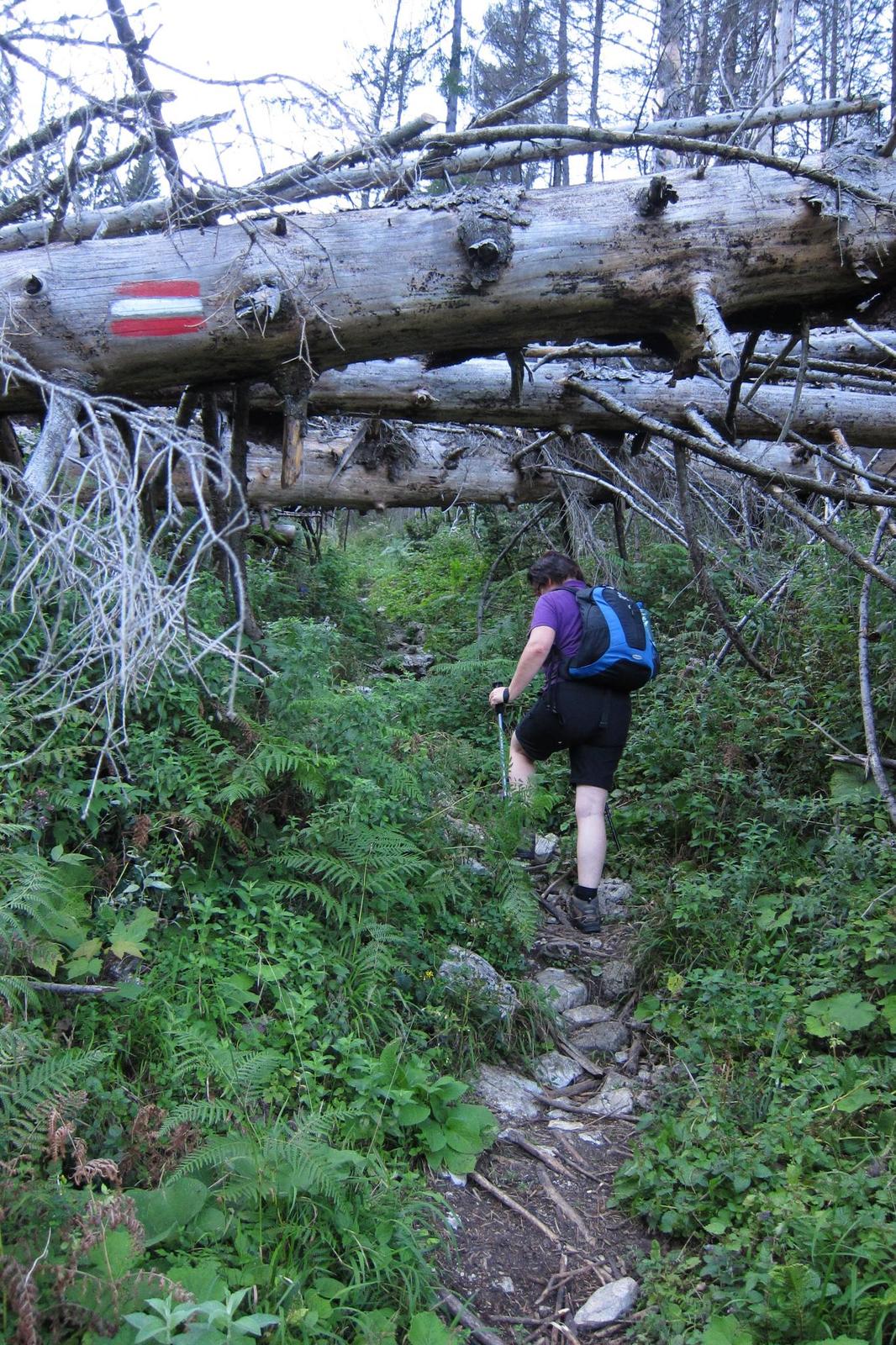
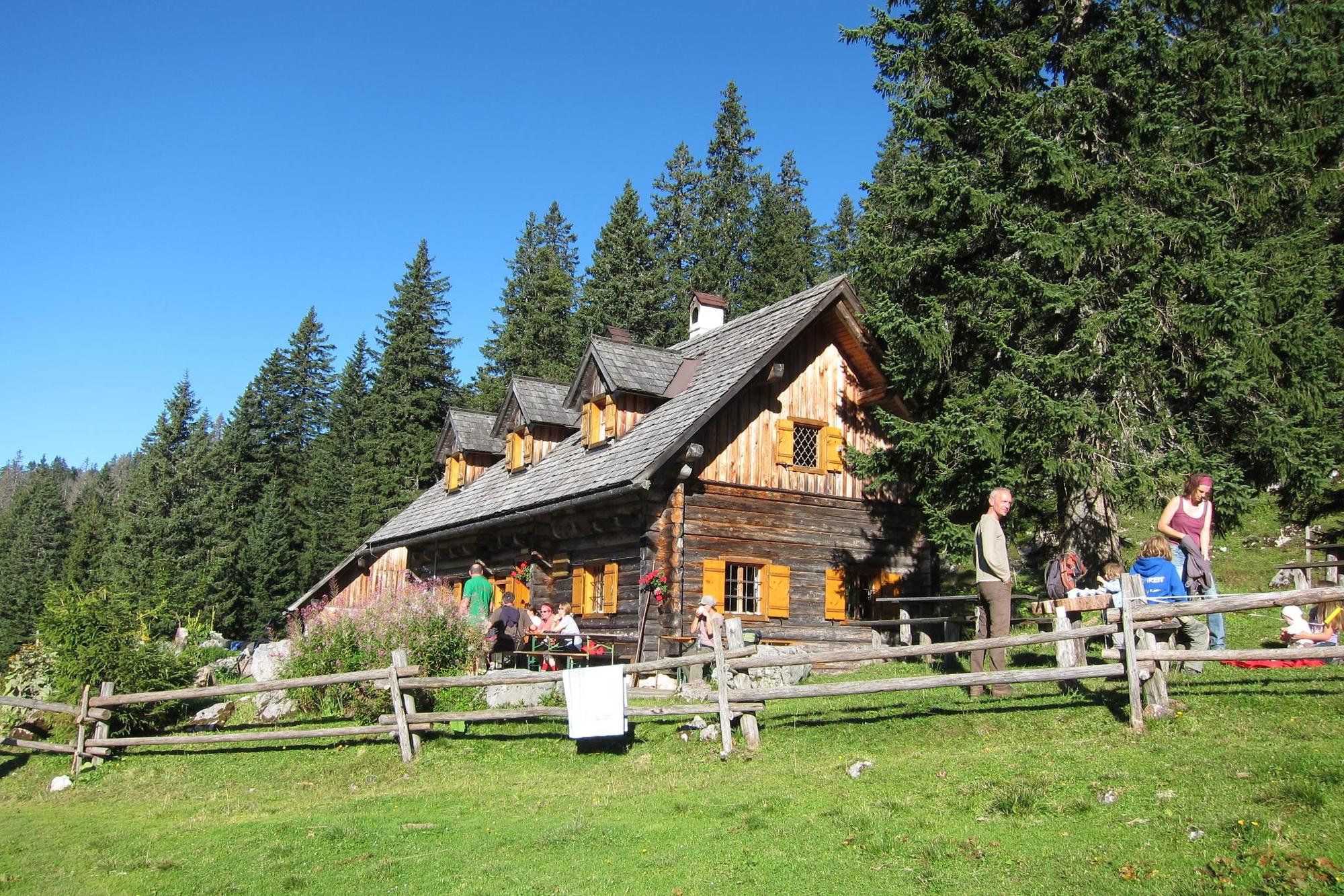
Feichtaualm from Bodinggraben, hiking trail

Escursionismo

© Nationalpark Kalkalpen - <a href="http://www.kalkalpen.at">Nationalpark Kalkalpen</a>
© Nationalpark Kalkalpen - <a href="http://www.kalkalpen.at">Nationalpark Kalkalpen</a>

© Nationalpark Kalkalpen - <a href="http://www.kalkalpen.at">Nationalpark Kalkalpen</a>

© Nationalpark Kalkalpen - <a href="http://www.kalkalpen.at">Nationalpark Kalkalpen</a>

© Nationalpark Kalkalpen - <a href="http://www.kalkalpen.at">Nationalpark Kalkalpen</a>

© Nationalpark Kalkalpen - <a href="http://www.kalkalpen.at">Nationalpark Kalkalpen</a>

© Nationalpark Kalkalpen - <a href="http://www.kalkalpen.at">Nationalpark Kalkalpen</a>

- Descrizione rapida
-
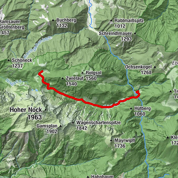
Feichtaualm, over Bodinggraben and Blumaueralm (round trip about 5.5 hours)
Difficulty level
Difficult, due to the altitude, we usually recommend this hike from the end of May to the beginning of June after the last snow has melted. - Difficoltà
-
intermedio
- Valutazione
-
- Percorso
-
Jagahäusl0,1 kmPolz Hütte7,6 km
- La stagione migliore
-
genfebmaraprmaggiulugagosetottnovdic
- Punto più alto
- 1.422 m
- Destinazione
-
Feichtaualm
- Profilo altimetrico
-


- Autore
-
Il tour Feichtaualm from Bodinggraben, hiking trail è utilizzato da outdooractive.com fornito.
GPS Downloads


Info generali
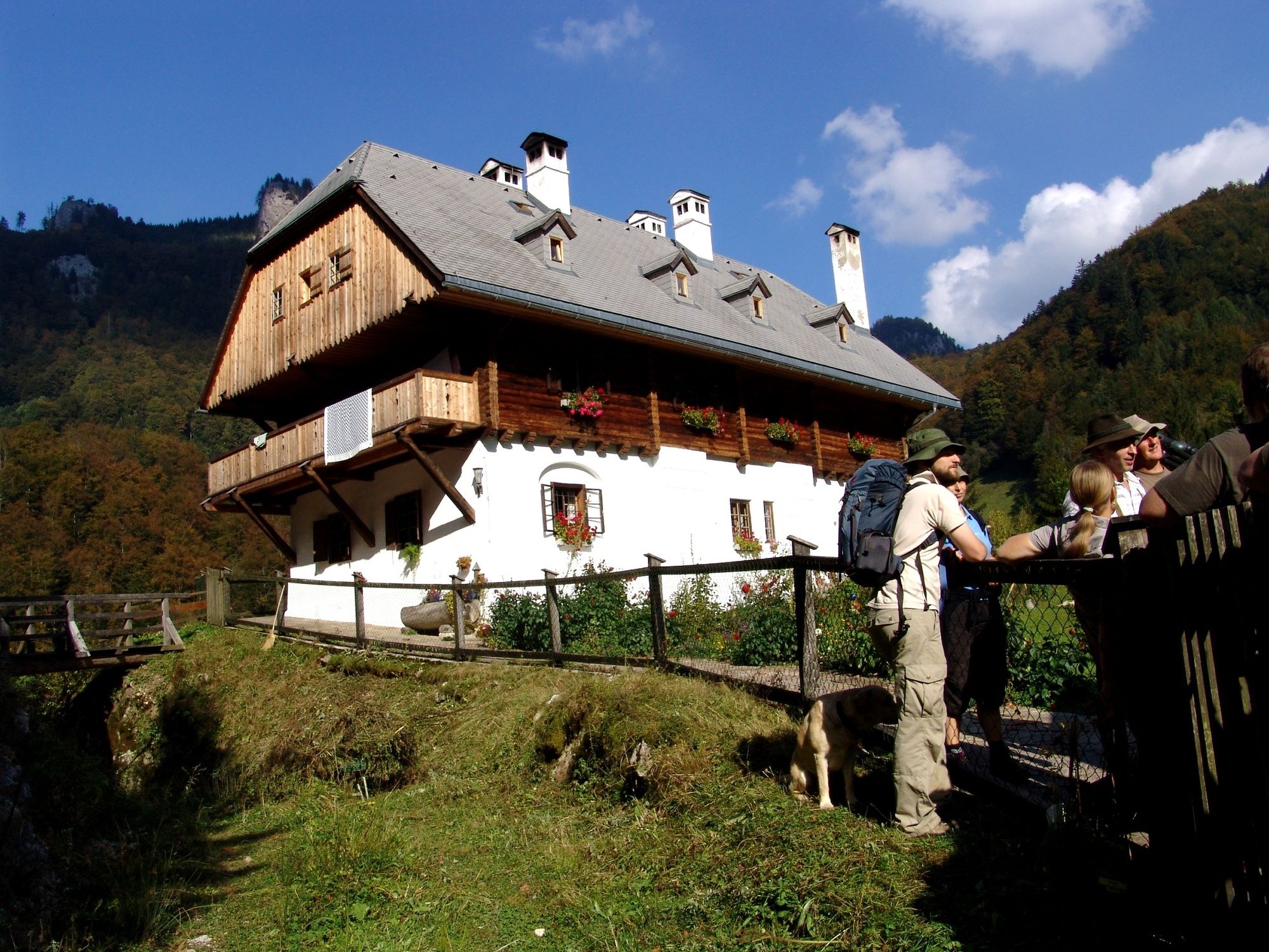
Punto di ristoro
Flora
Altri tour nelle regioni
-
Traunviertel
1940
-
Steyr und die Nationalpark Region
1371
-
Windischgarsten
439


