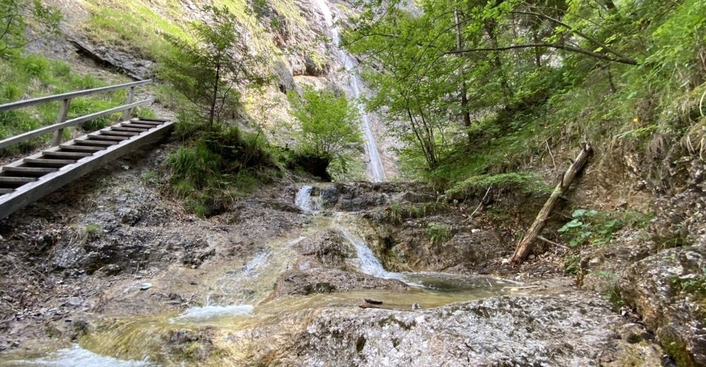
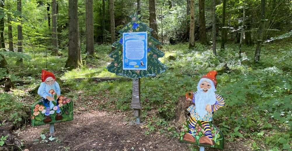
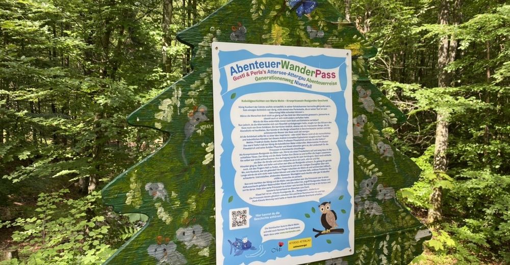
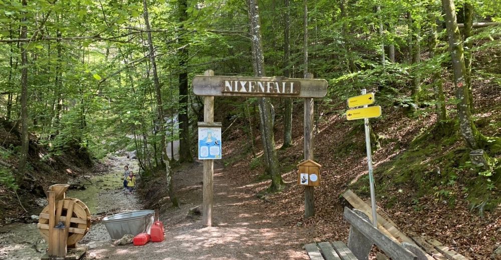
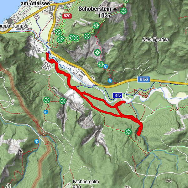
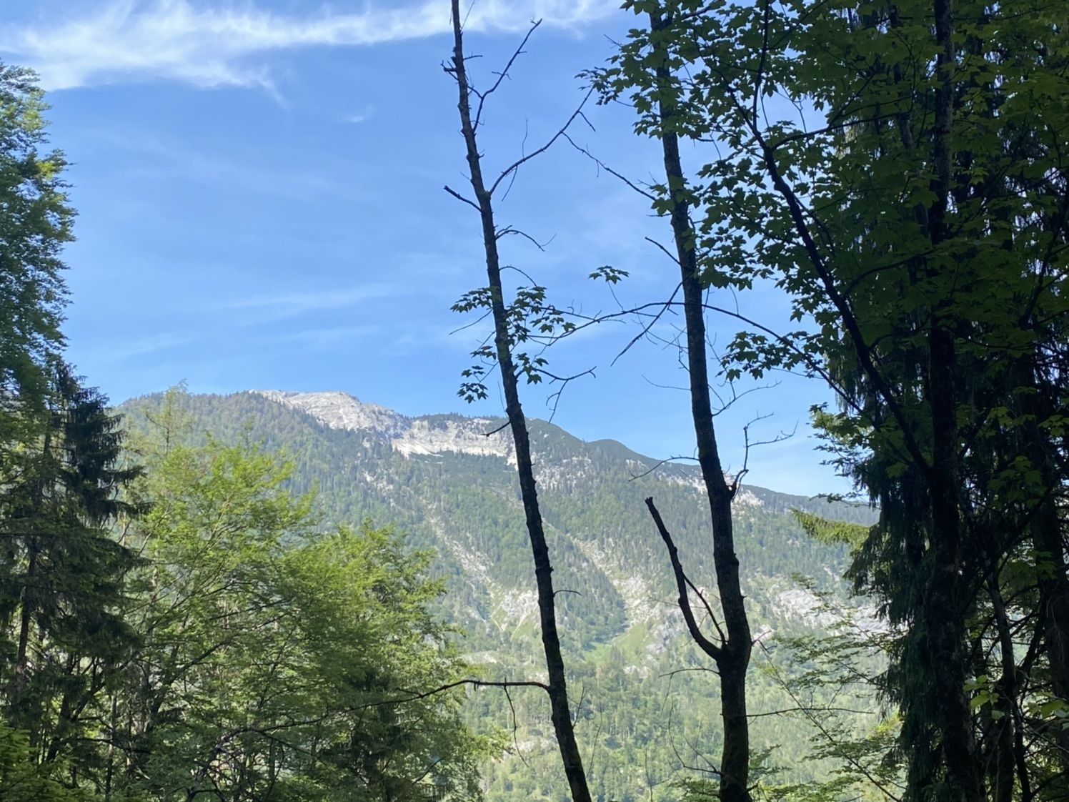
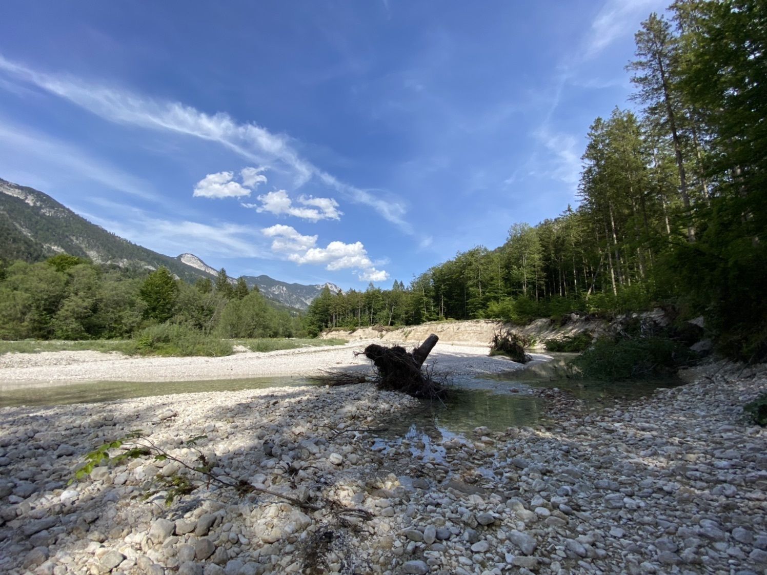
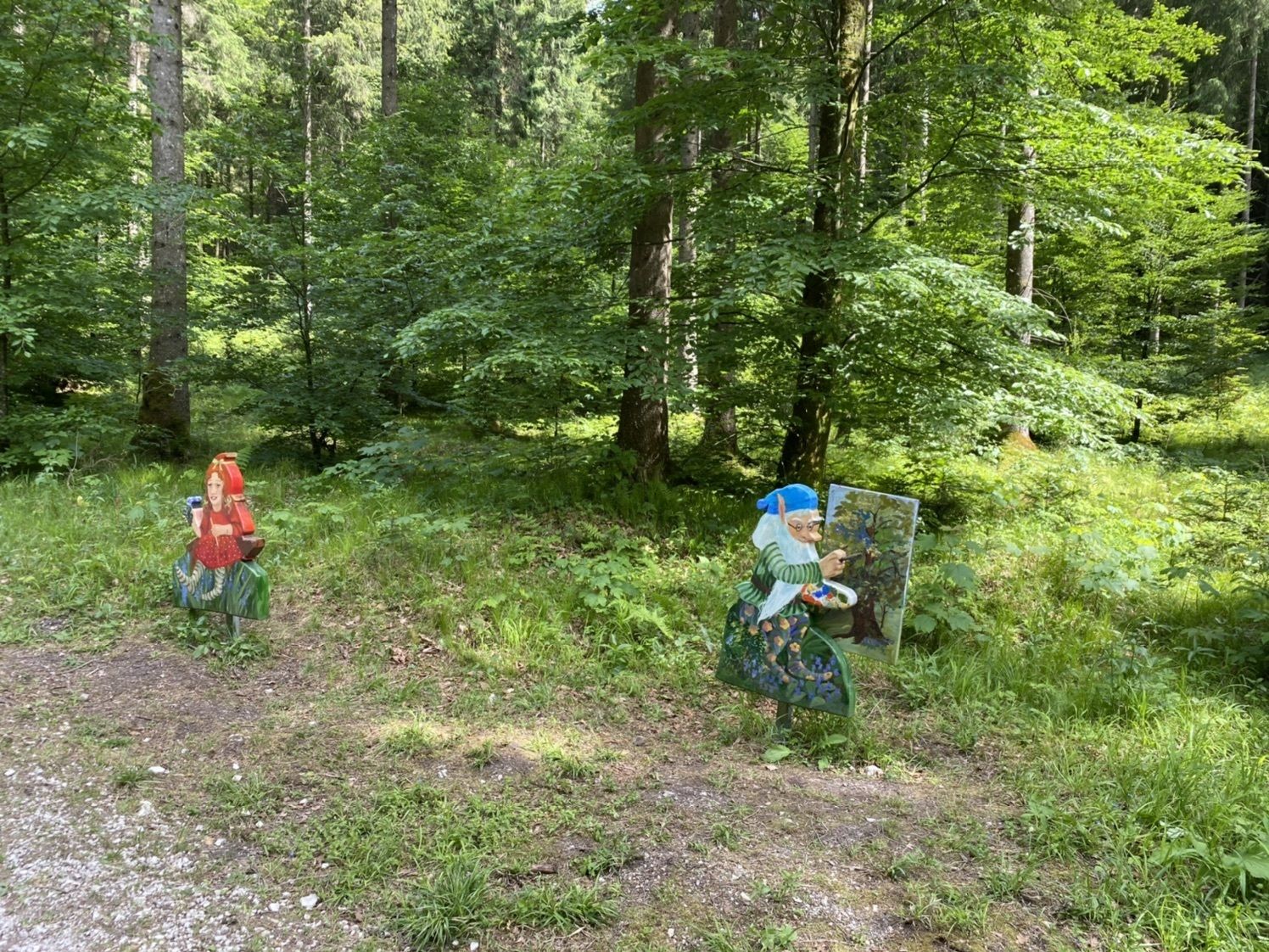
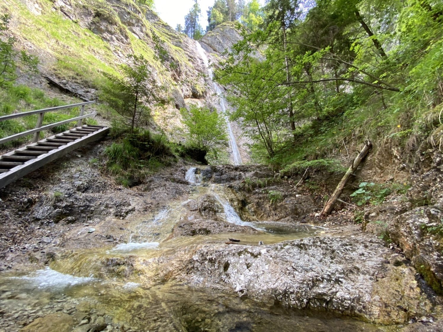
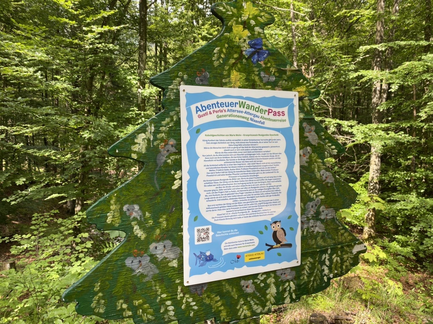
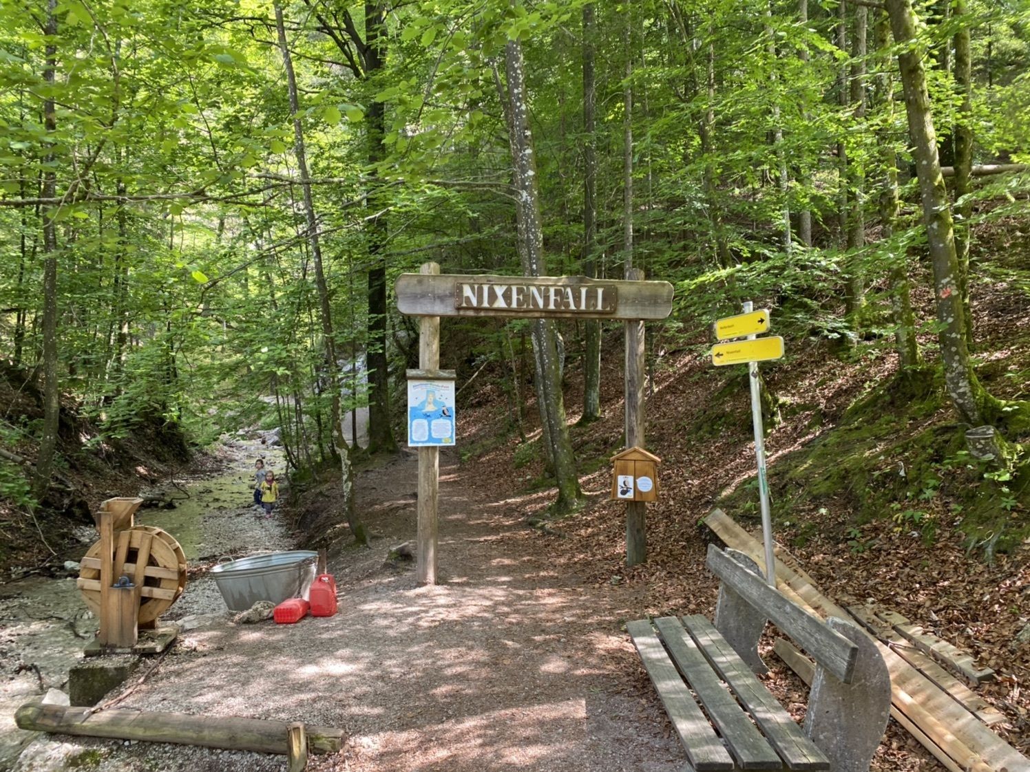
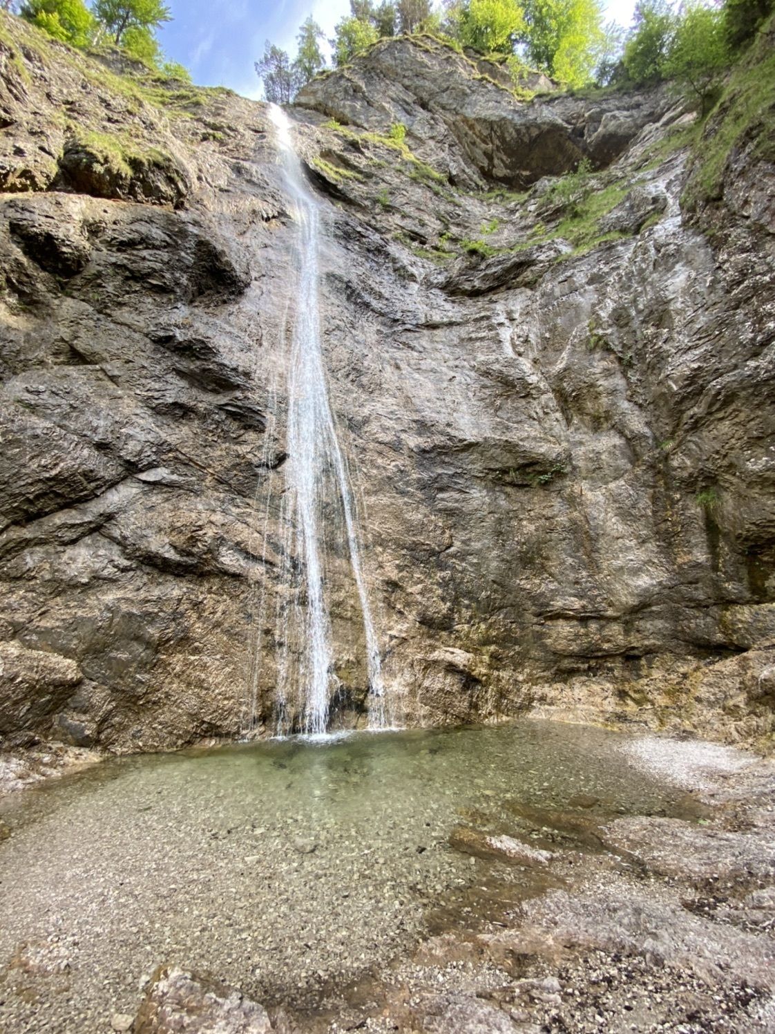
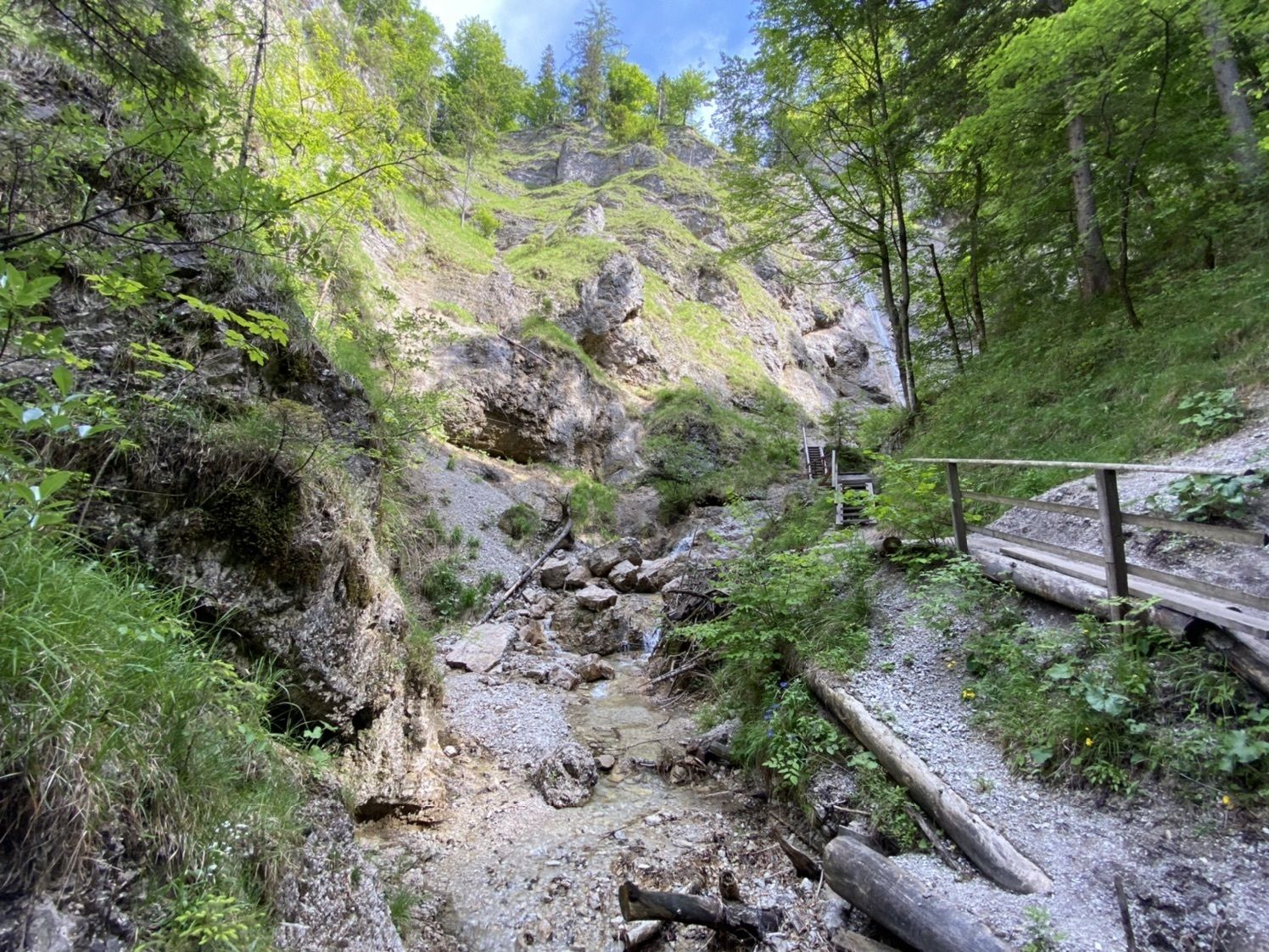
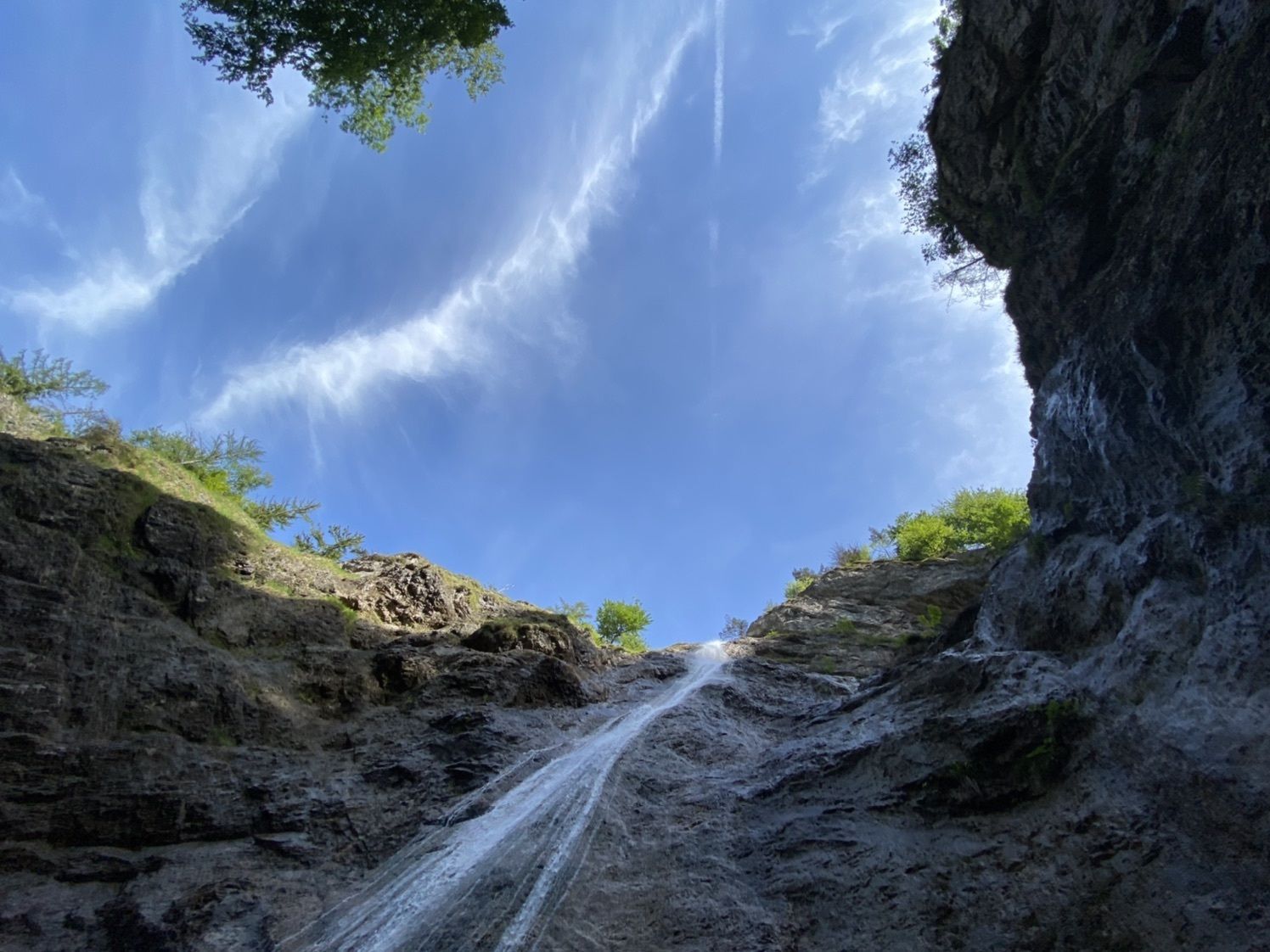
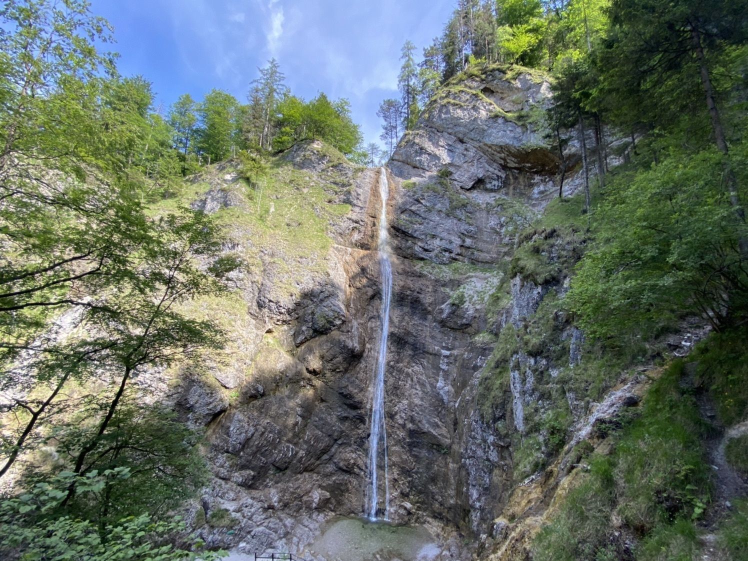
Nixenfall Steinbach am Attersee, Österreich

Escursionismo
Dati percorsi
4,74km
474
- 571m
98hm
98hm
01:36h
- Descrizione rapida
-
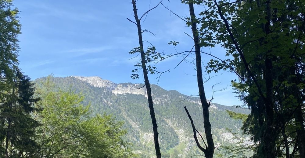
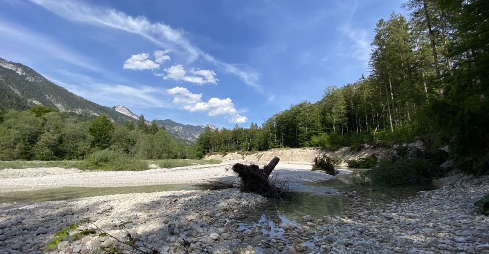
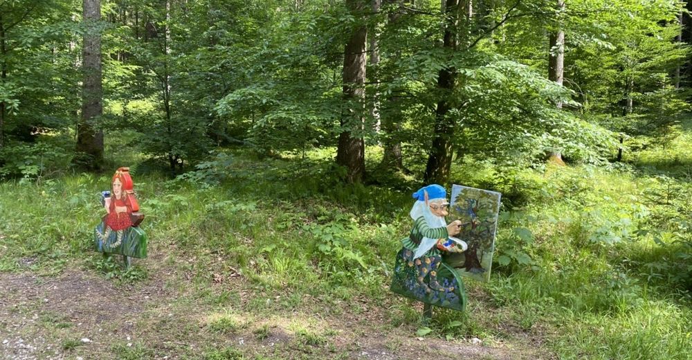
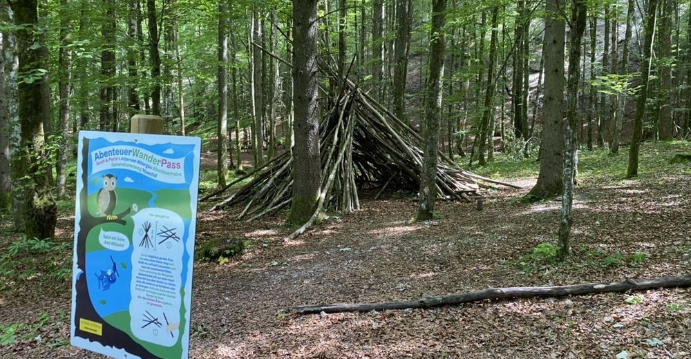
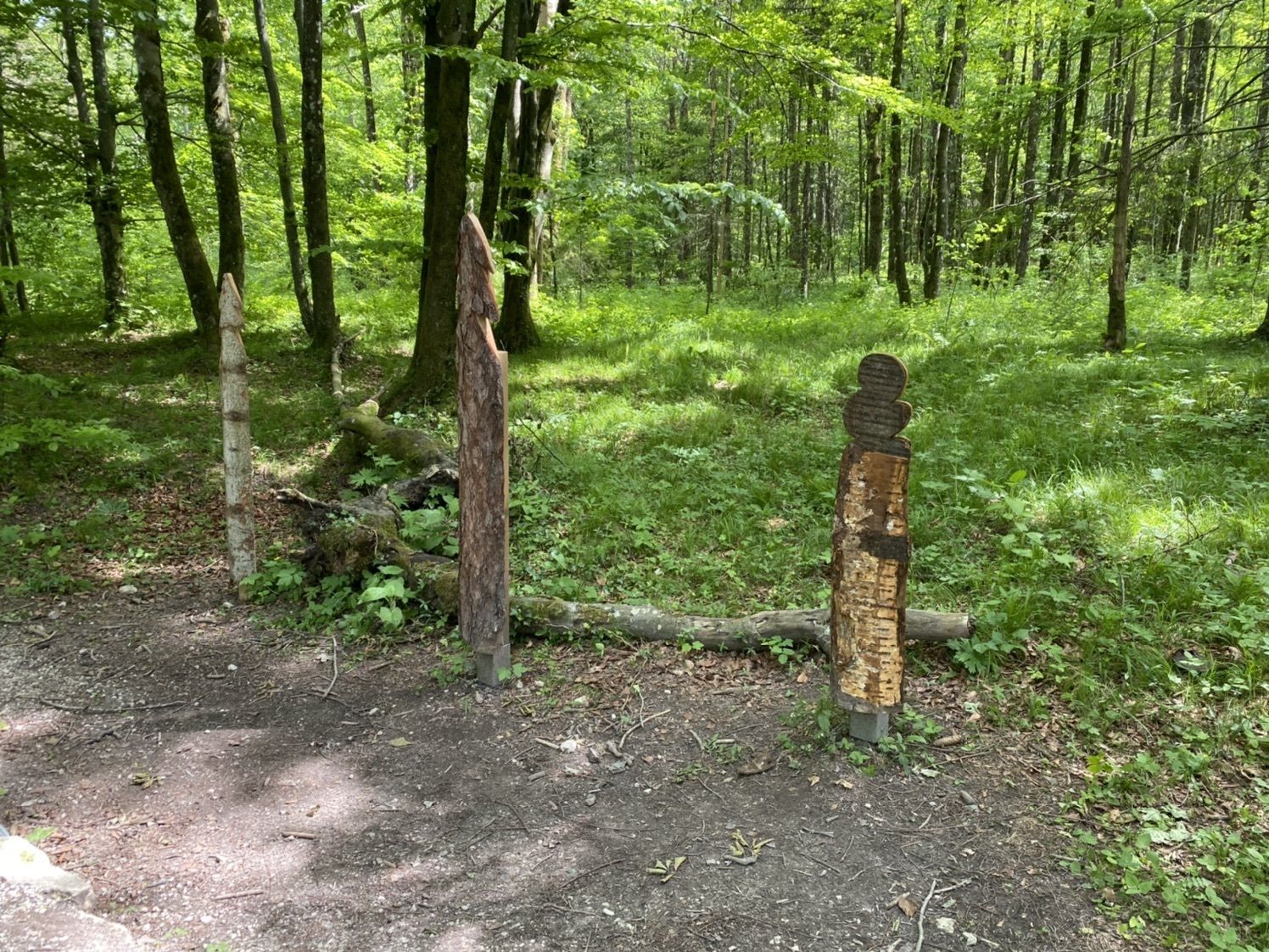
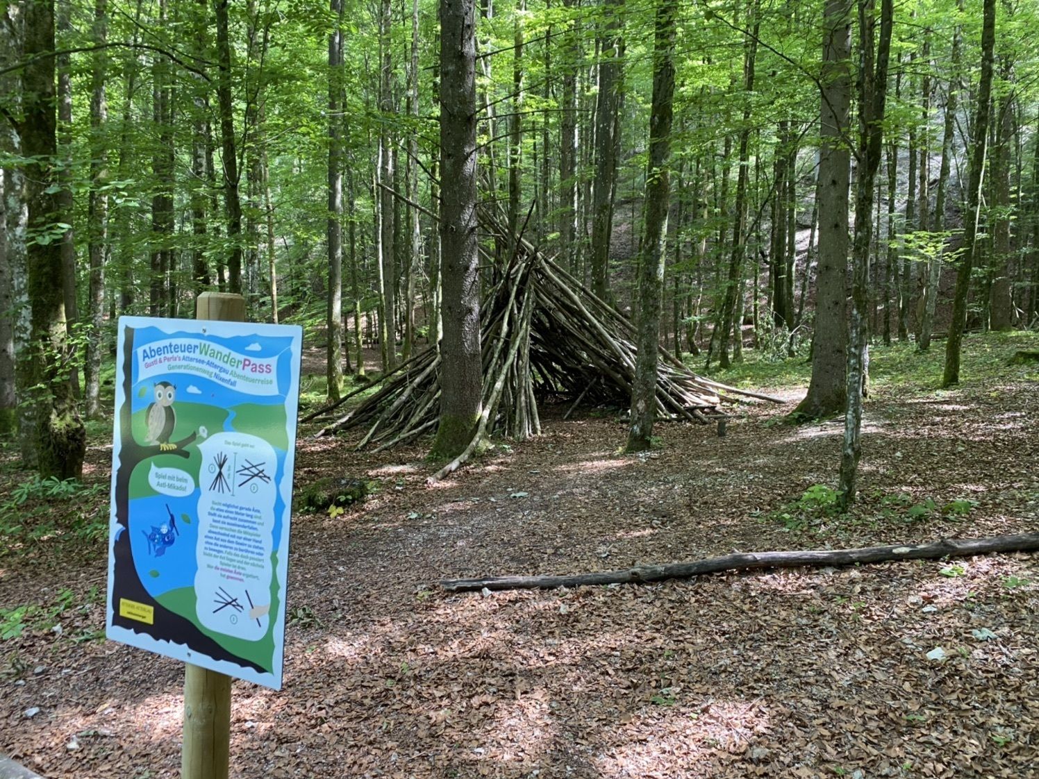
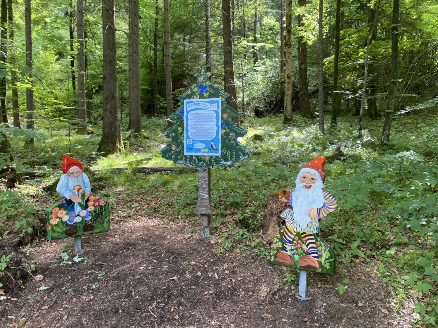
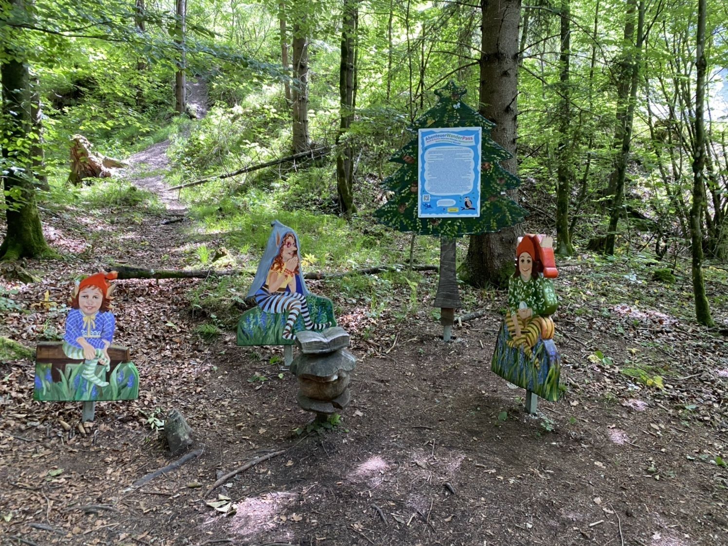
kleine runde zum Nixenfall
- Difficoltà
-
facile
- Valutazione
-
- Percorso
-
WaldsiedlungNixenfall2,2 kmWaldsiedlung4,5 km
- La stagione migliore
-
genfebmaraprmaggiulugagosetottnovdic
- Punto più alto
- 571 m

GPS Downloads


Condizioni dei sentieri
Asfalto
Ghiaia
Prato
Foresta
Roccia
Esposta
Altri tour nelle regioni