Picasa
Dati percorsi
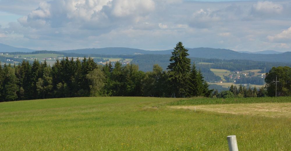
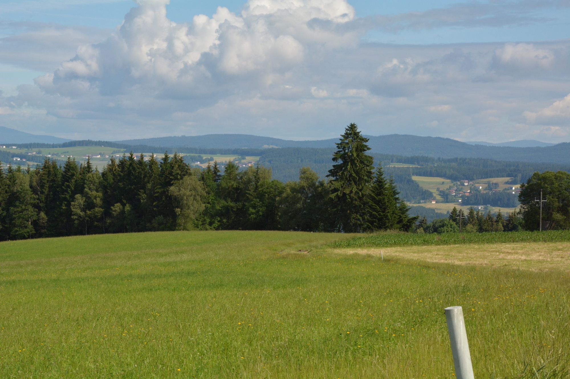
15,89km
606
- 840m
400hm
395hm
05:00h

- Descrizione rapida
-
Du erlebst eine wunderschöne anspruchsvolle Rundroute (Start St. Johann Ortsmitte).
- Difficoltà
-
intermedio
- Valutazione
-
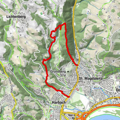
- Percorso
-
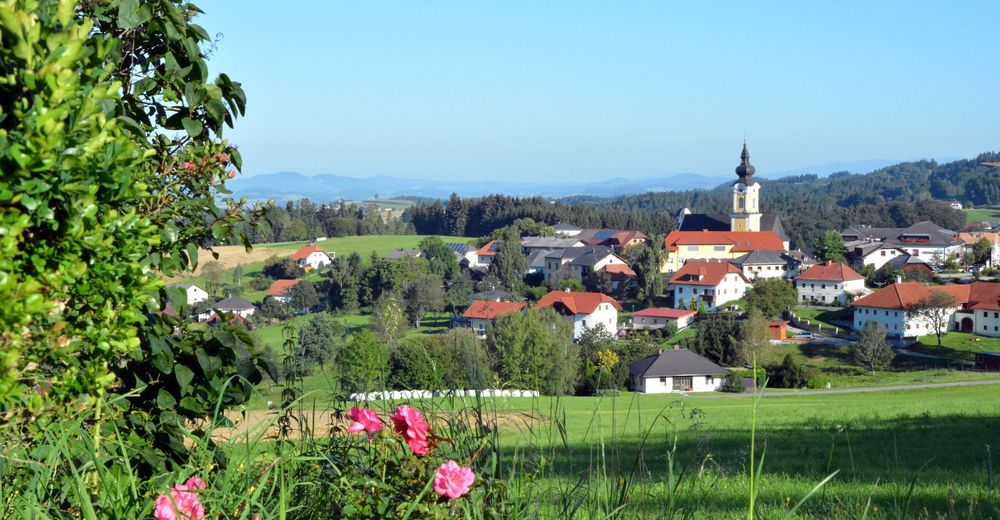
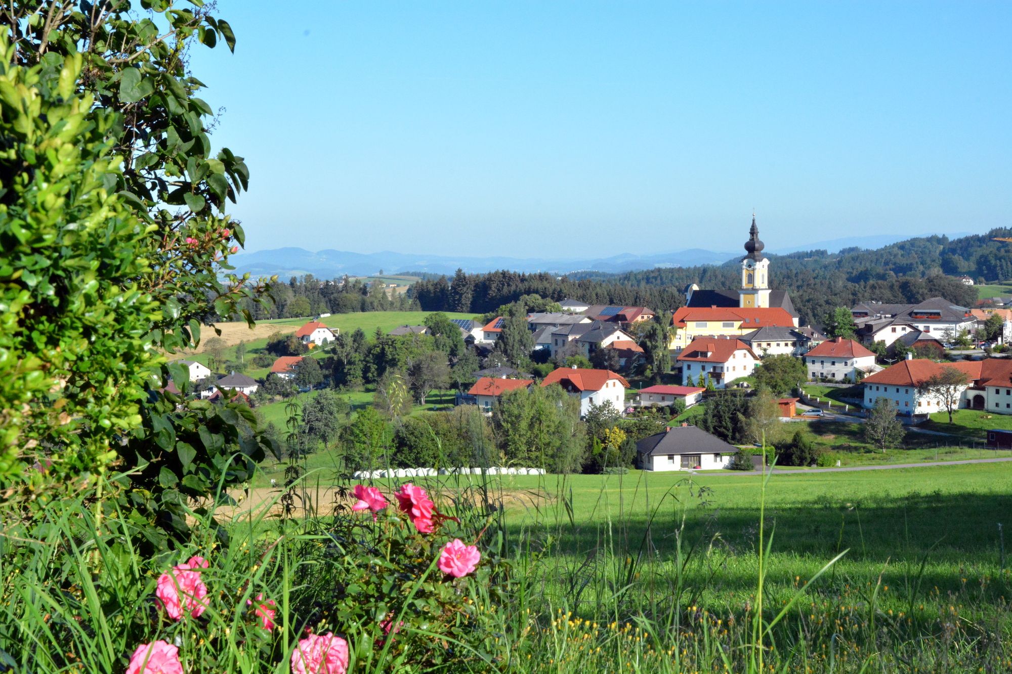
Sankt Johann am WimbergJausenstation Hansberg12,9 kmHansberg (850 m)12,9 kmSchlag14,4 kmSankt Johann am Wimberg15,7 km
- La stagione migliore
-
genfebmaraprmaggiulugagosetottnovdic
- Punto più alto
- 840 m
GPS Downloads


Condizioni dei sentieri
Asfalto
Ghiaia
Prato
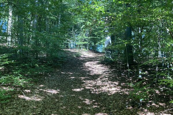
Foresta
Roccia
Esposta
Altri tour nelle regioni
-
Mühlviertel
1781
-
Mühlviertler Hochland
749
-
St. Johann am Wimberg
288