Eilmannsberger
Eilmannsberger
Dati percorsi
11,51km
369
- 484m
80hm
127hm
03:00h
- Descrizione rapida
-
Leichte Wanderung.
- Difficoltà
-
facile
- Valutazione
-
- Punto di partenza
-
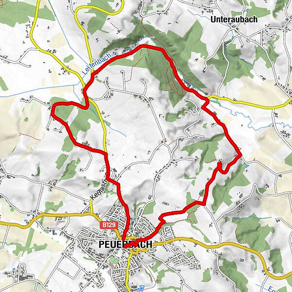
Schloss Peuerbach, direkt im Stadtzentrum an der Hauptstraße.
- Percorso
-
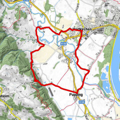
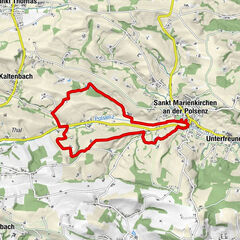
PeuerbachIl Padrino0,1 kmUrtlhof0,2 kmHötzmannsberg2,7 kmLaab3,3 kmHaargassen4,1 kmLeithen6,2 kmTeucht7,4 kmSteingrüneredt8,5 kmThomasberg9,5 kmBesenberg10,3 kmPeuerbach11,4 km
- La stagione migliore
-
genfebmaraprmaggiulugagosetottnovdic
- Punto più alto
- 484 m
- Riposo/Ritiro
-
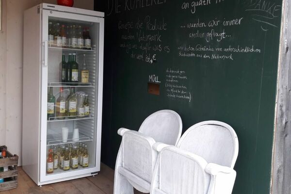
Wirte im Zentrum Peuerbachs und Gerhard´s Imbiss in Teucht. Mo bis Fr. 8-20 Uhr, ganztägig warme Speisen. Tel.: +43 676 506 17 51.
- Cartine
-
Die Wanderkarte "Peuerbach - Stadt der Sterne" kann kostenlos bezogen werden über die Stadtgemeinde Peuerbach. Tel.: +43 7276 2255 203. E mail: stadt@peuerbach.ooe.gv.at

GPS Downloads


Condizioni dei sentieri
Asfalto
Ghiaia
Prato
Foresta
Roccia
Esposta
Altri tour nelle regioni
-
Hausruckviertel
1486
-
Vitalwelt Bad Schallerbach
371
-
Peuerbach
97