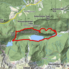
Dati percorsi
10,56km
424
- 1.234m
863hm
855hm
03:49h
- Difficoltà
-
intermedio
- Valutazione
-
- Percorso
-
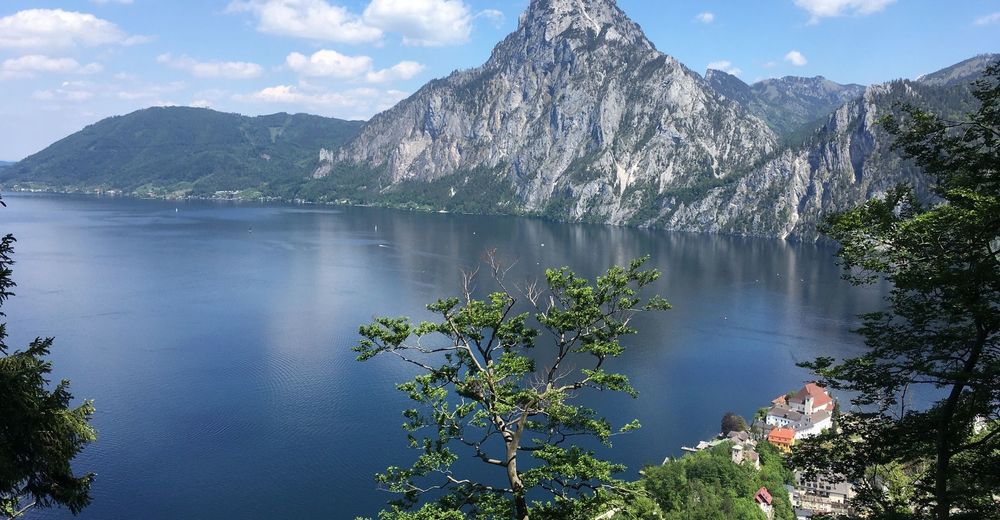
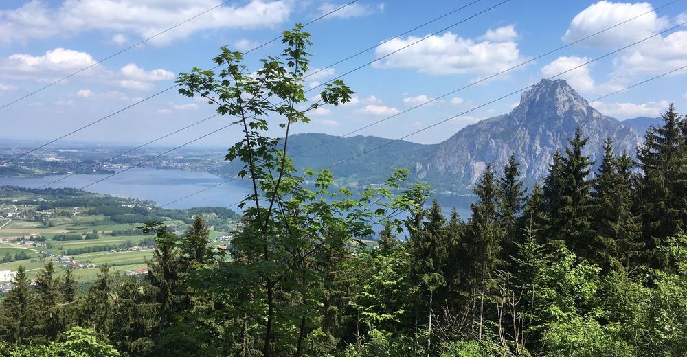
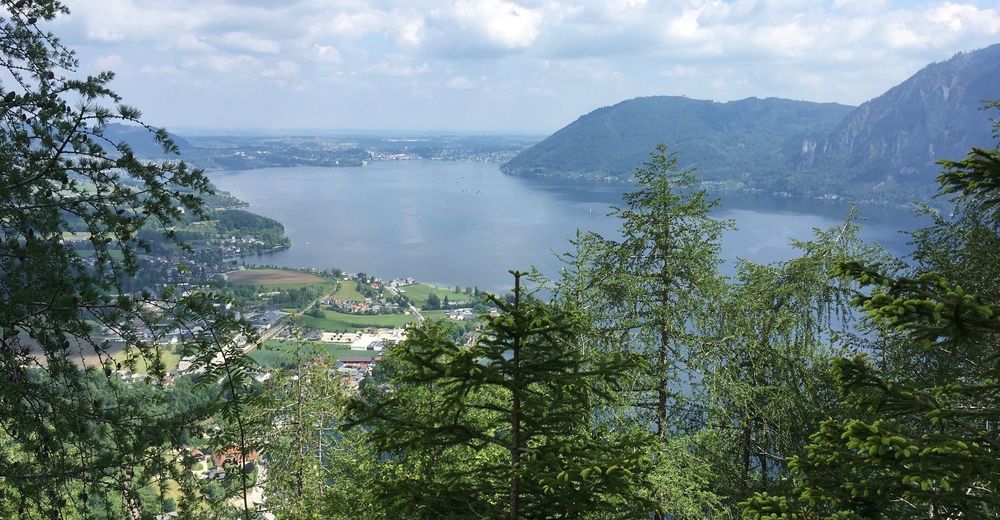
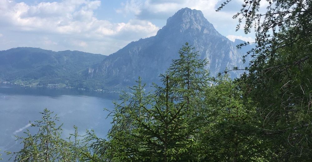
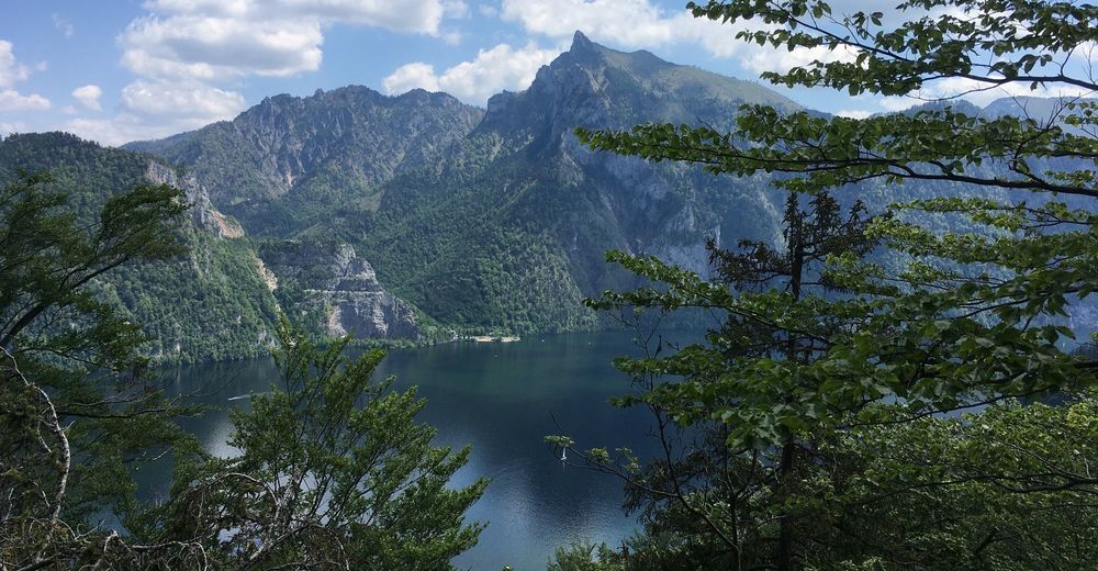
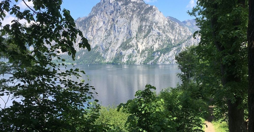
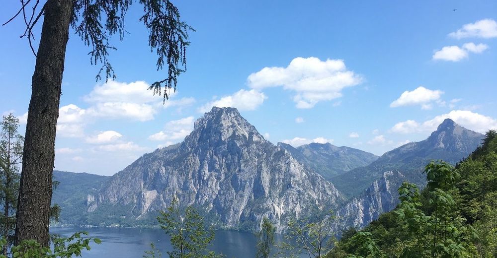
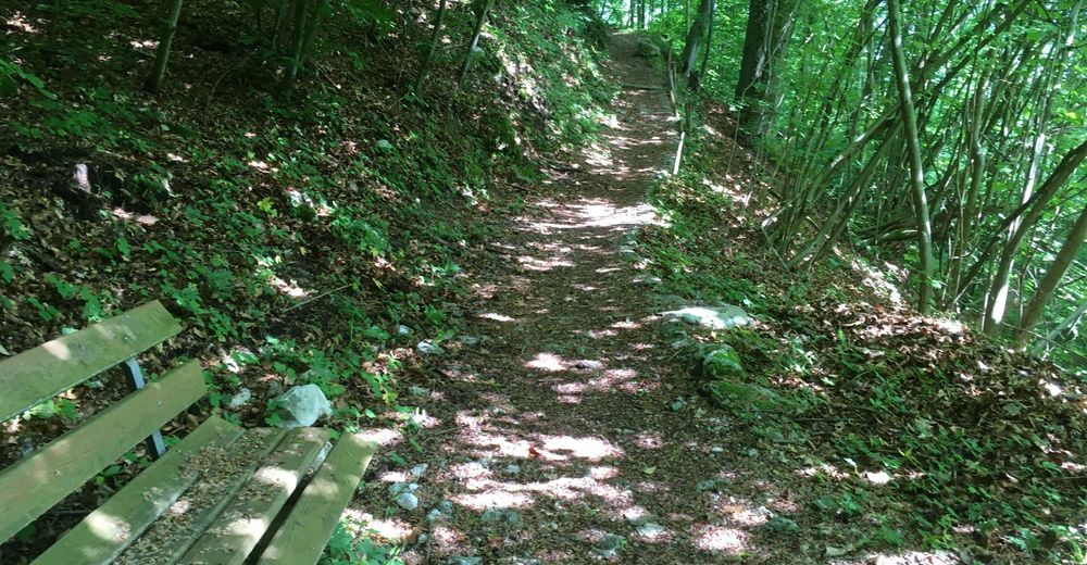
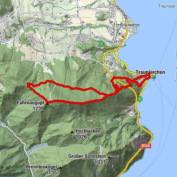
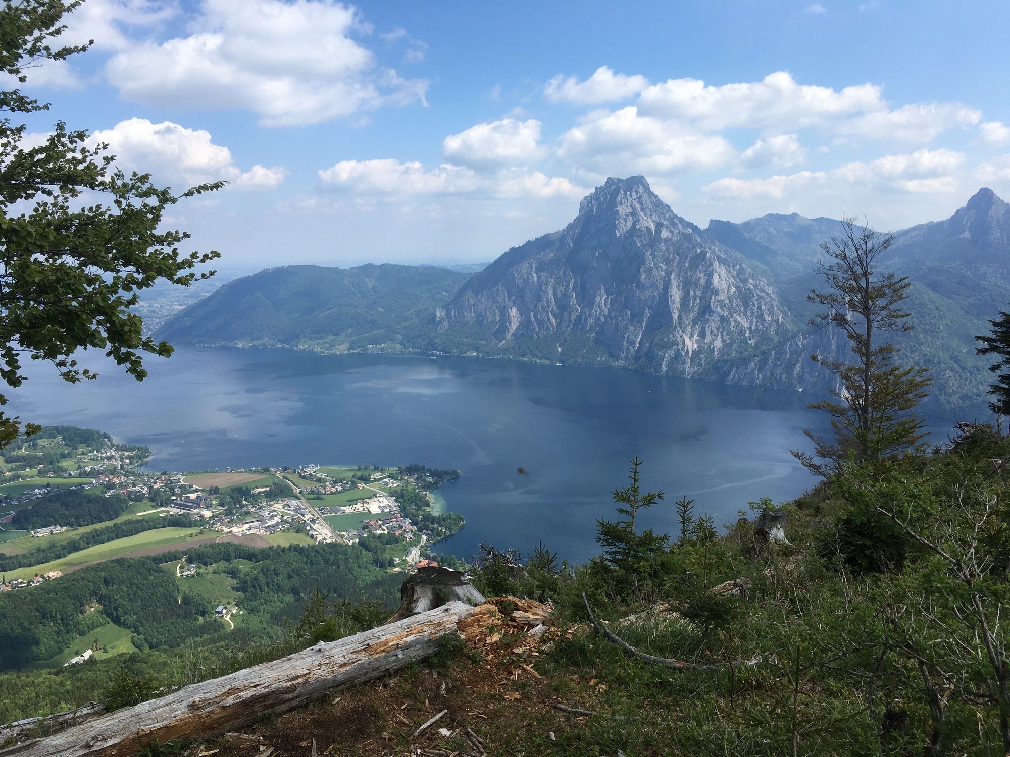
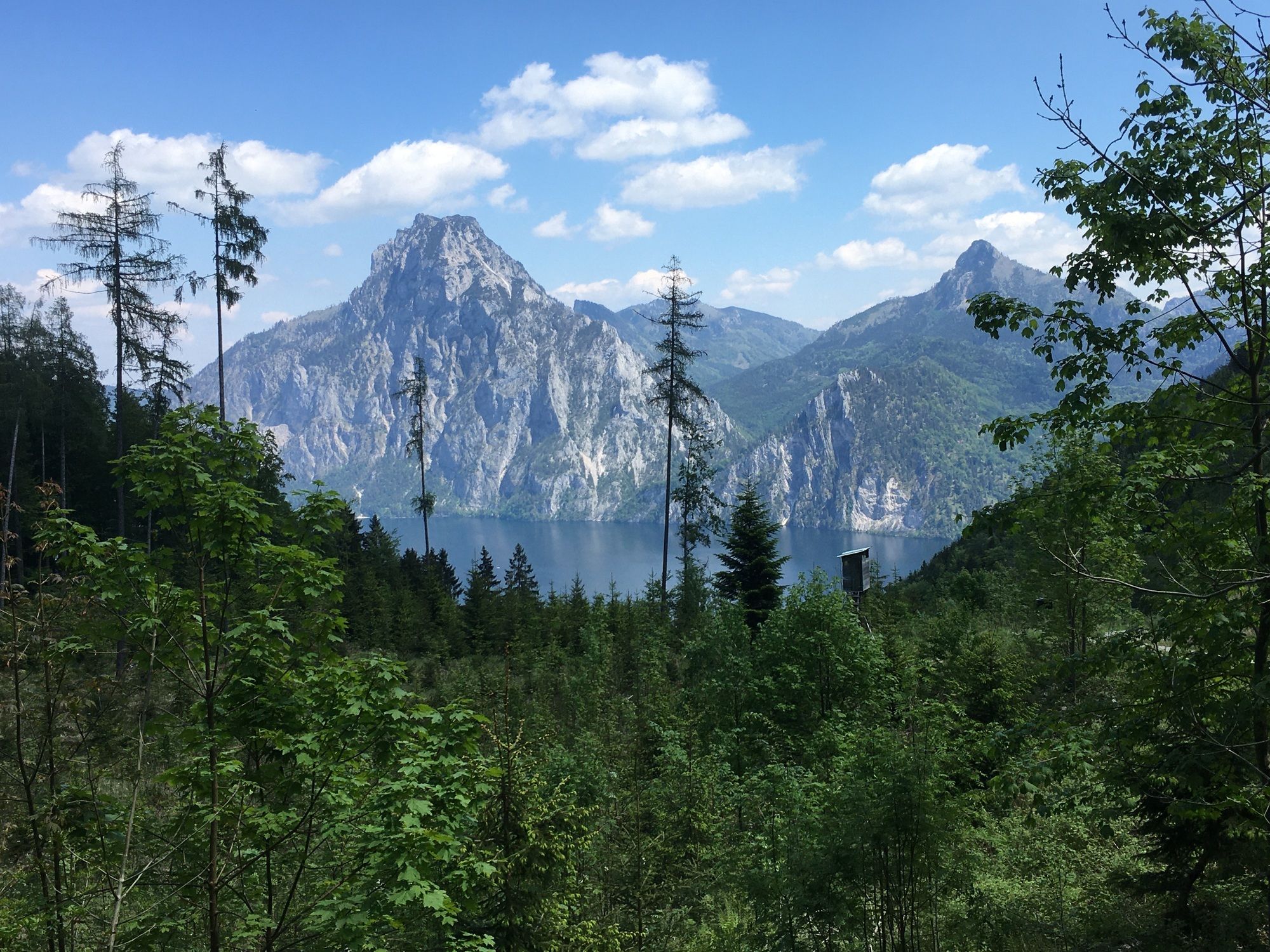
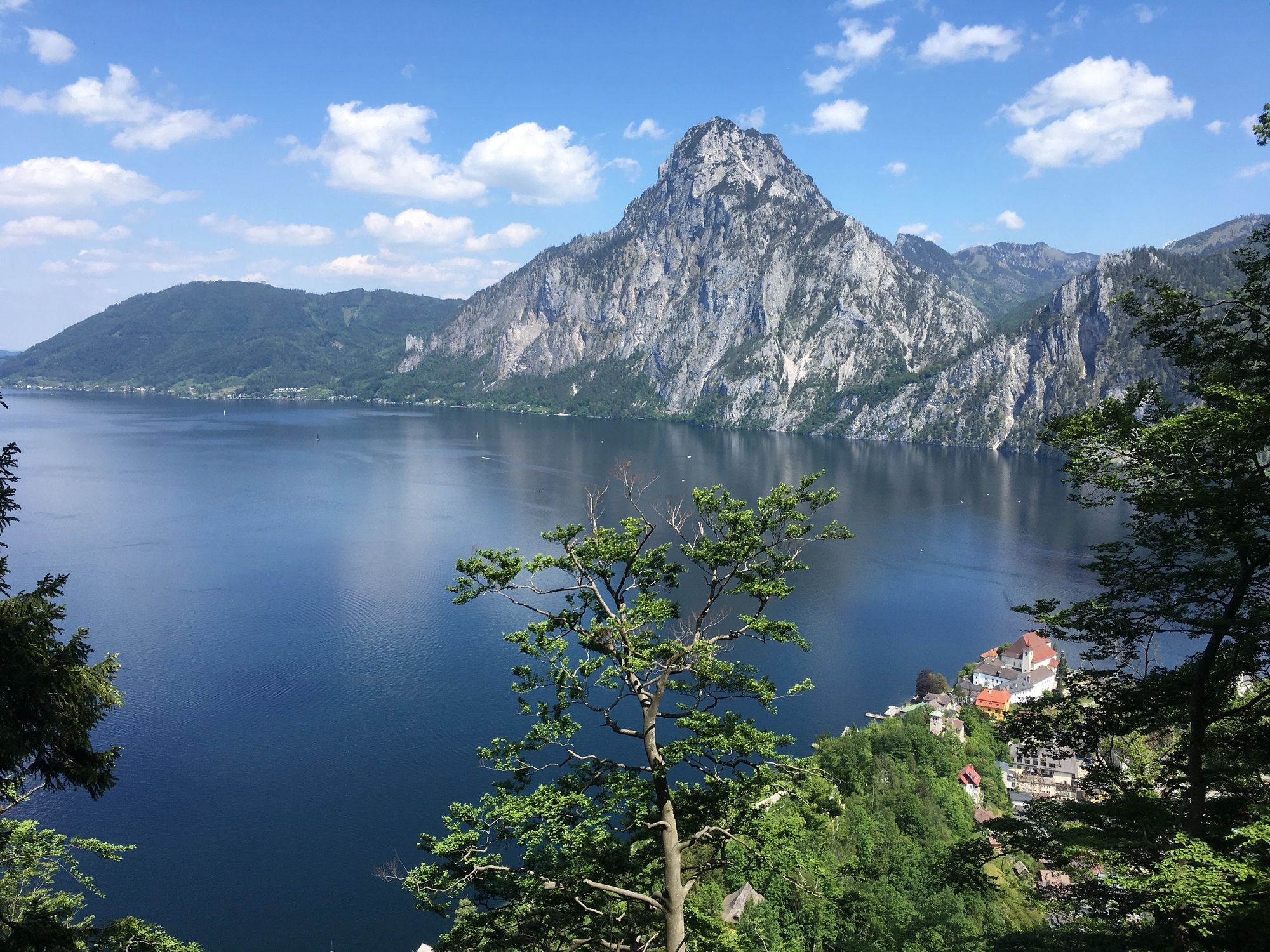
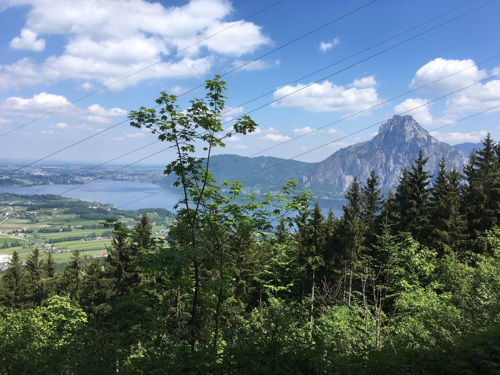
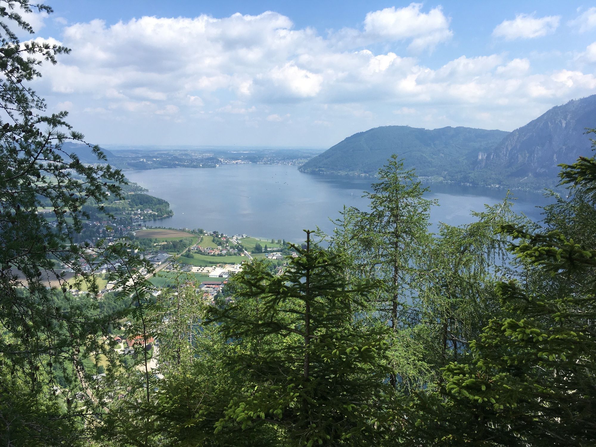
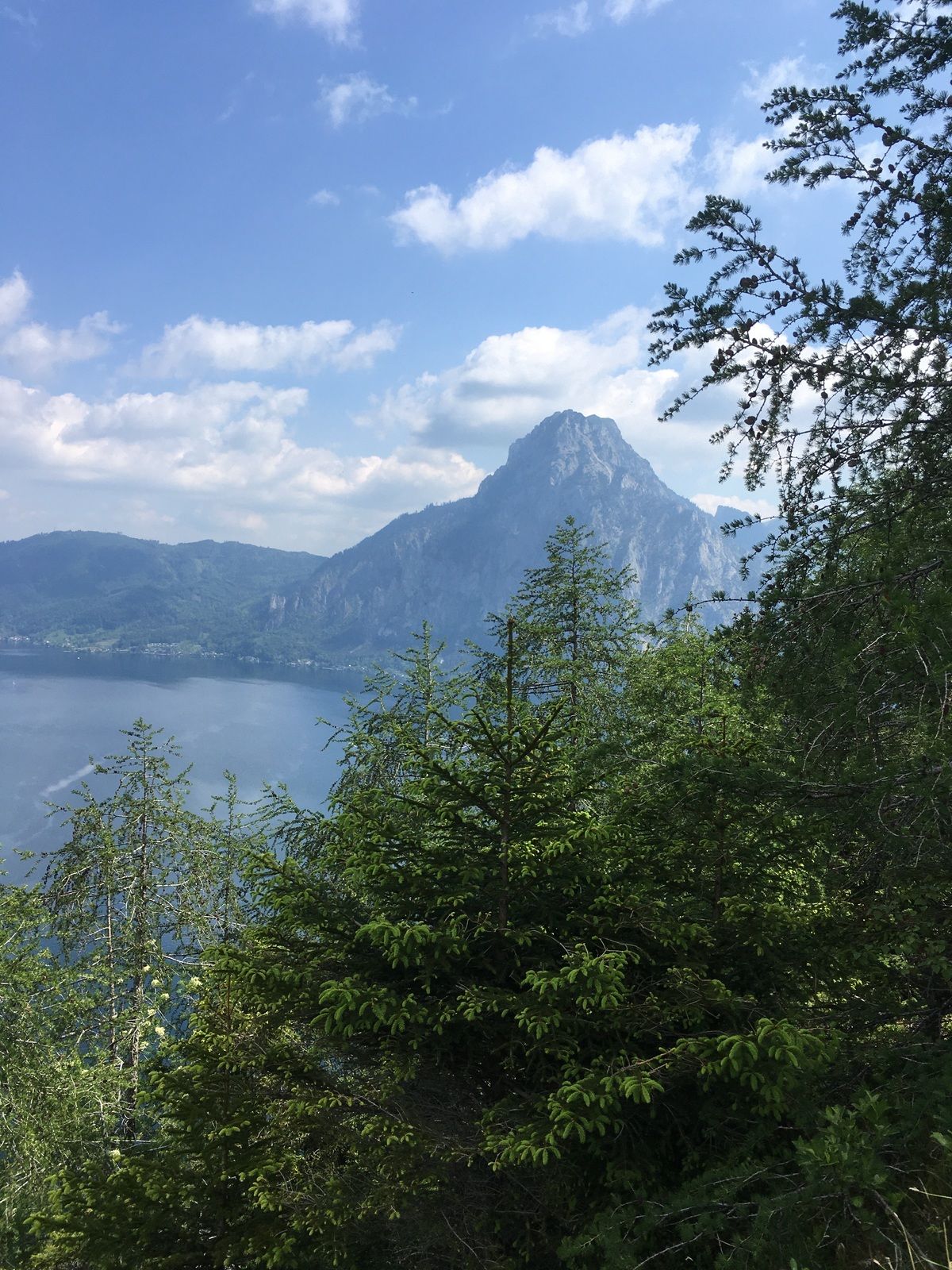
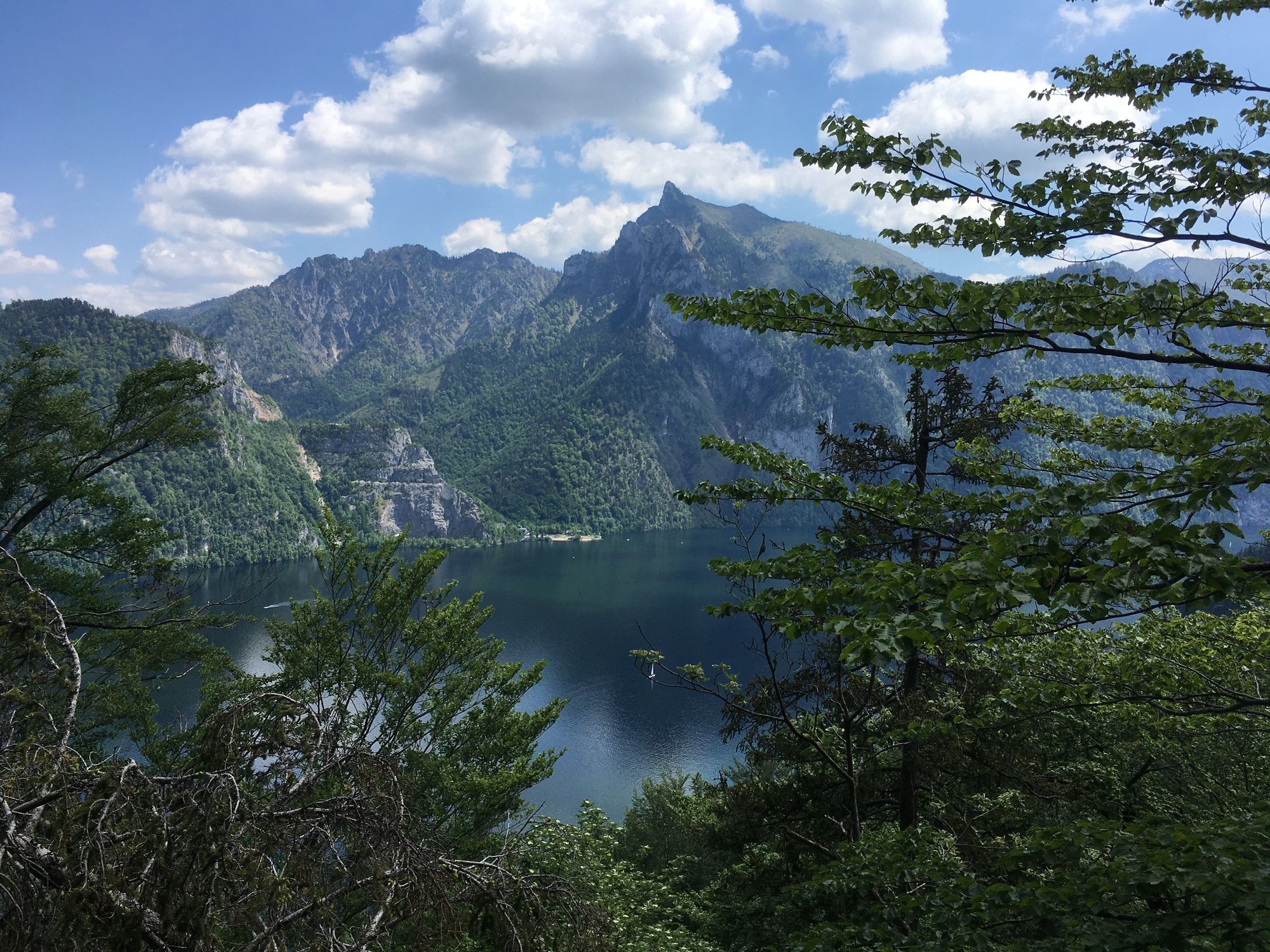
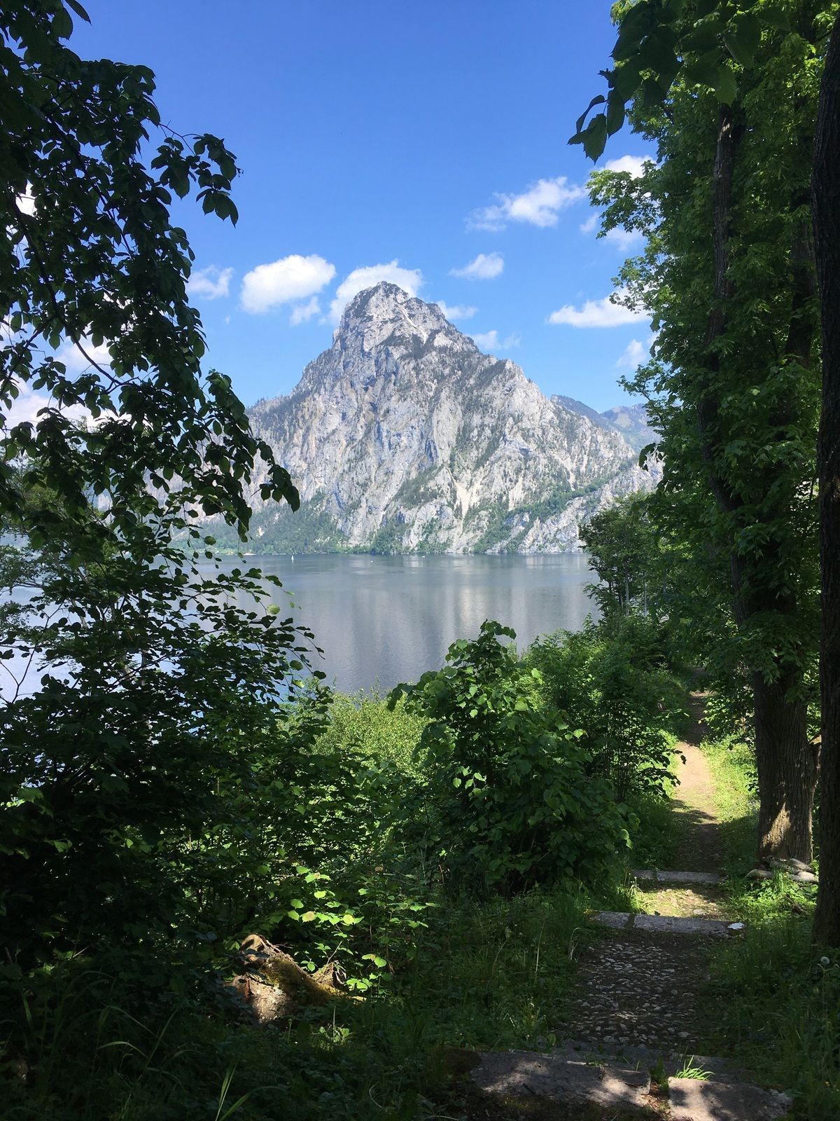
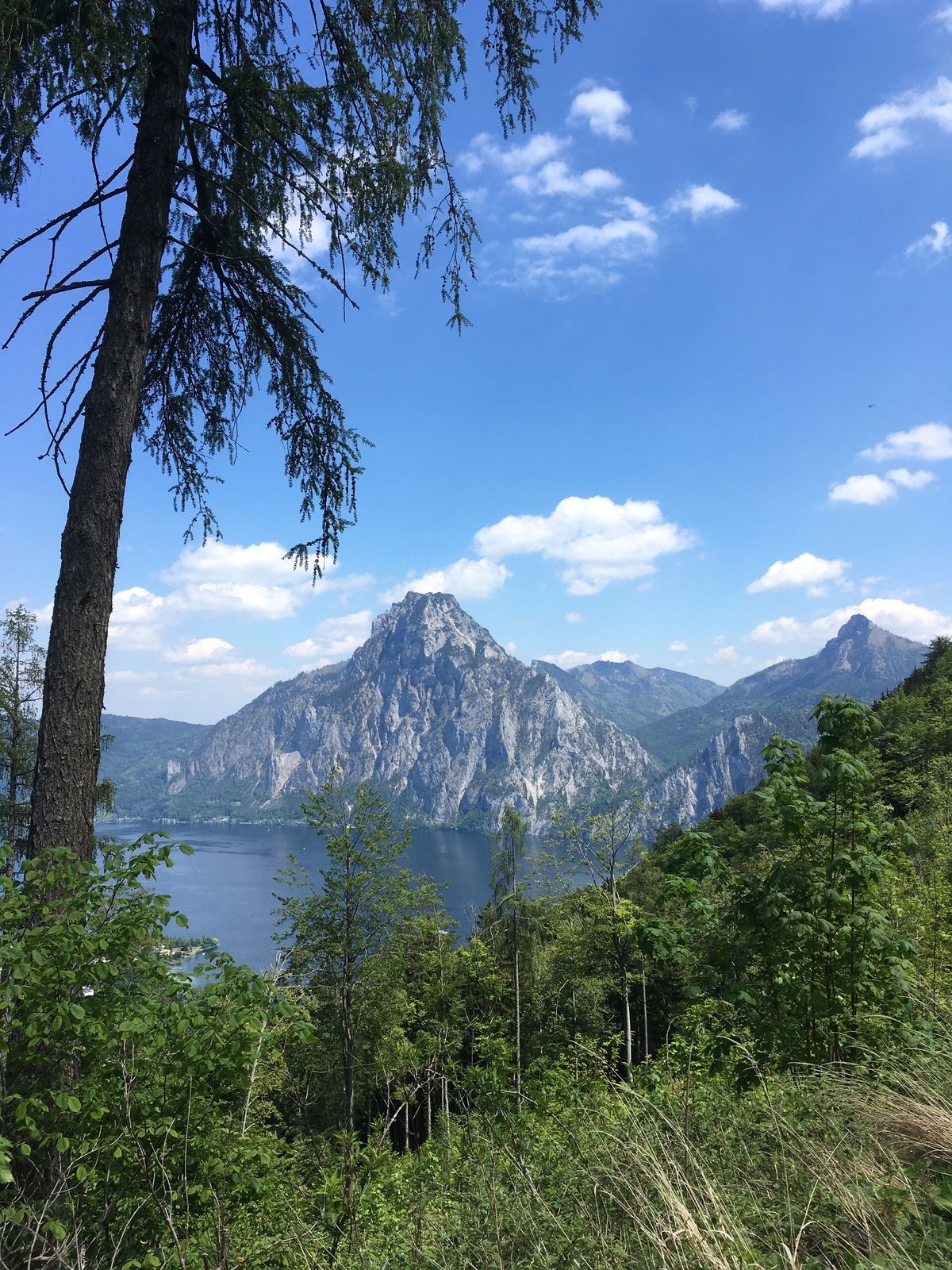
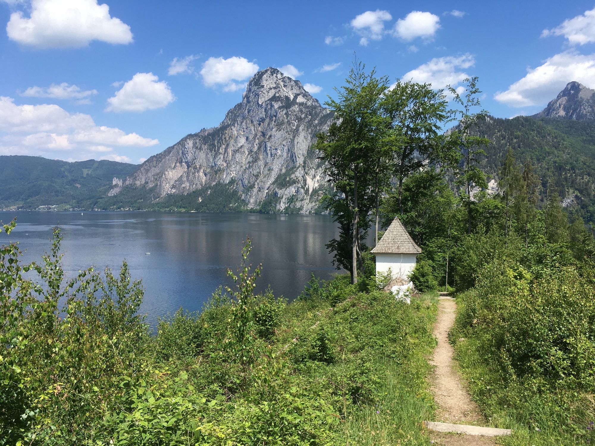
TraunkirchenBaalstein (800 m)2,1 kmGeißwand (872 m)2,5 kmAussichtsplatzl Fahrnaugupf (1.207 m)4,0 kmFahrnaugupf (1.239 m)4,6 kmGeißwand (872 m)8,7 kmWirtshaus Poststube 132710,4 kmTraunkirchen10,5 km
- Punto più alto
- 1.234 m
GPS Downloads


Altri tour nelle regioni
-
Salzkammergut Oberösterreich
3081
-
Traunsee-Almtal
910
-
Traunkirchen
334