Dati percorsi
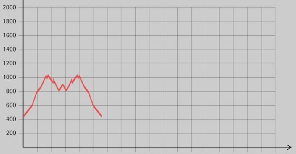
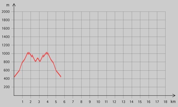
3,24km
438
- 1.007m
785hm
785hm
03:00h
- Descrizione rapida
-
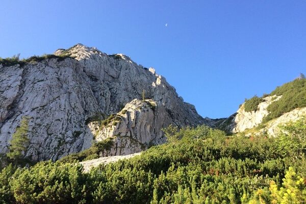
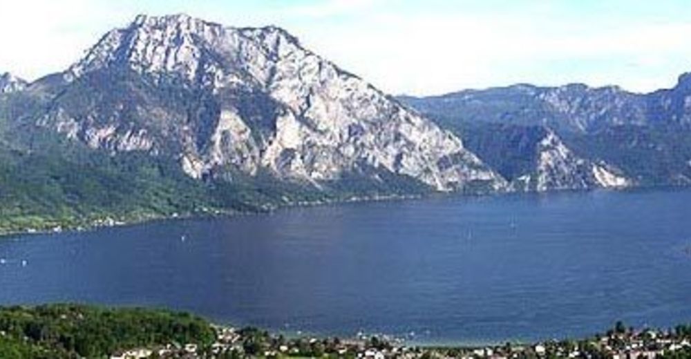
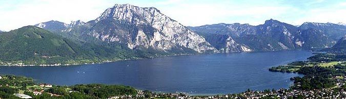
Schöne Wanderung mit herrlichem Ausblick über den Traunsee, die allerdings Trittsicherheit erfordert!
- Difficoltà
-
intermedio
- Valutazione
-
- Punto di partenza
-
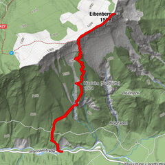
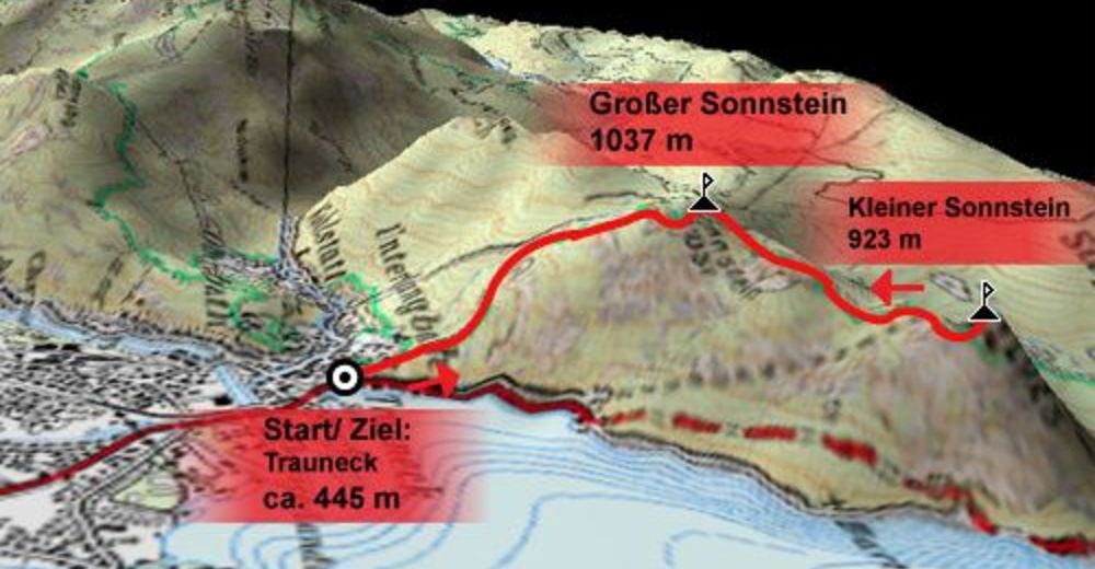
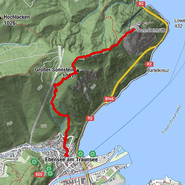
Trauneck (ca. 445 m)
- Percorso
-
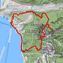
Ebensee (443 m)Hl. Joseph0,0 kmUnterlangbath0,2 kmGroßer Sonnstein (1.037 m)1,9 kmSender (1.040 m)2,2 kmLudleben2,9 kmSonnsteinhütte3,2 kmKleiner Sonnstein (923 m)3,2 km
- La stagione migliore
-
genfebmaraprmaggiulugagosetottnovdic
- Punto più alto
- 1.007 m
- Riposo/Ritiro
-
Sonnenstein Hütte
- Cartine


- Telefono informazioni
-
+43/(0)6133-8016
- Link
- http://traunsee.salzkammergut.at/ebensee.html
GPS Downloads


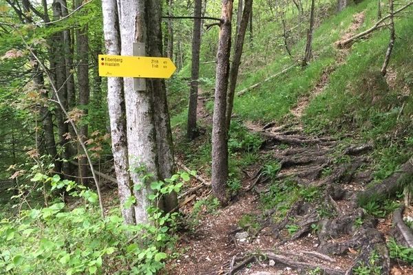
Condizioni dei sentieri
Asfalto
Ghiaia
Prato
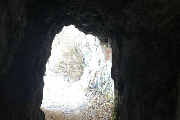
Foresta
Roccia
Esposta
Altri tour nelle regioni
-
Salzkammergut Oberösterreich
3081
-
Traunsee-Almtal
910
-
Traunkirchen
334