
Dati percorsi
11,2km
490
- 629m
186hm
178hm
03:30h
- Descrizione rapida
-
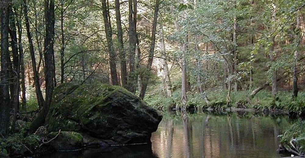
Ideal für Familien und Senjoren
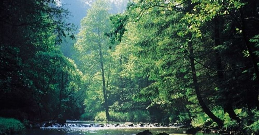
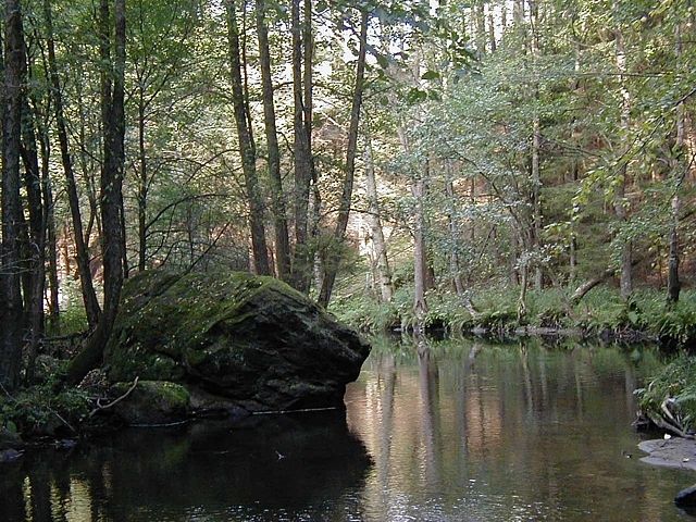
Großteils Waldwege - Difficoltà
-
intermedio
- Valutazione
-
- Punto di partenza
-
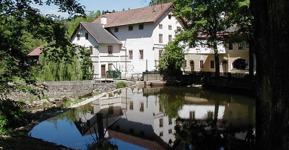
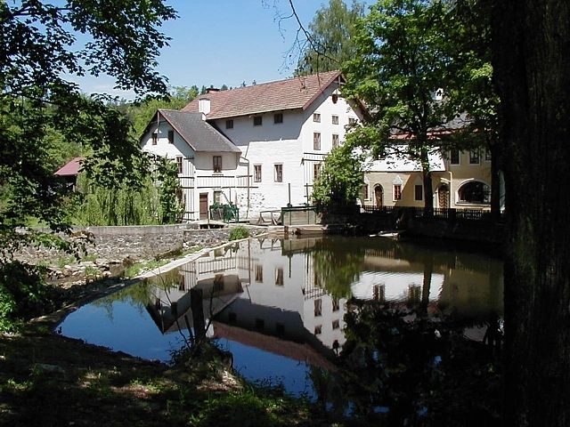
Der Ort Haslach oder unser Landgasthof.
- Percorso
-
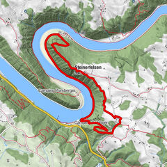
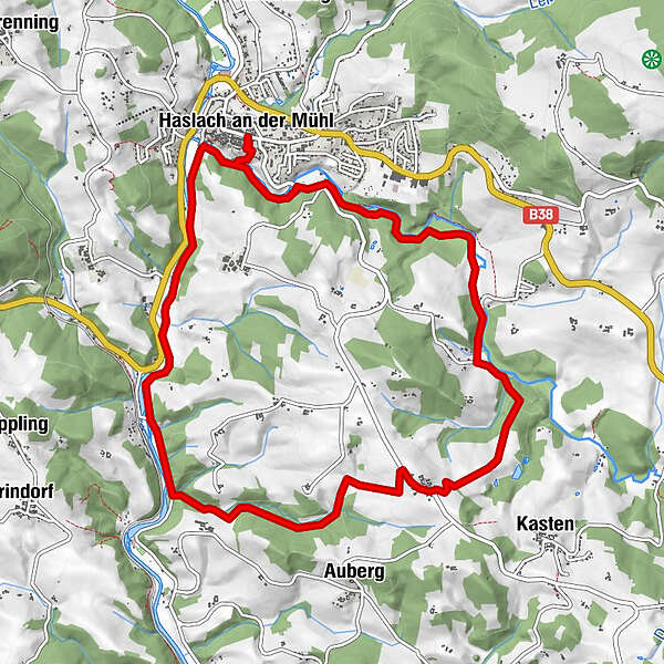
Haslach an der Mühl0,0 kmPfarrkirche Haslach, St. Nikolaus0,1 kmNeudorf5,8 kmLandgasthof Diendorfer5,9 kmNotarquelle10,3 kmPfarrkirche Haslach, St. Nikolaus11,0 kmHaslach an der Mühl11,1 km
- La stagione migliore
-
genfebmaraprmaggiulugagosetottnovdic
- Punto più alto
- 629 m
- Riposo/Ritiro
-
Im Landgasthof Diendorfer
- Cartine
-
Wanderkarte Böhmerwald
GPS Downloads


Condizioni dei sentieri
Asfalto
Ghiaia
Prato
Foresta
Roccia
Esposta
Altri tour nelle regioni
-
Mühlviertel
1782
-
Mühlviertler Hochland
751
-
Haslach an der Mühl
199