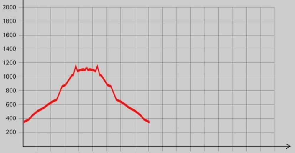
Dati percorsi
16,3km
372
- 1.159m
866hm
07:00h
- Descrizione rapida
-
Schöne Wanderung mit einer Einkehrmöglichkeit am Ziel.
- Valutazione
-
- Punto di partenza
-
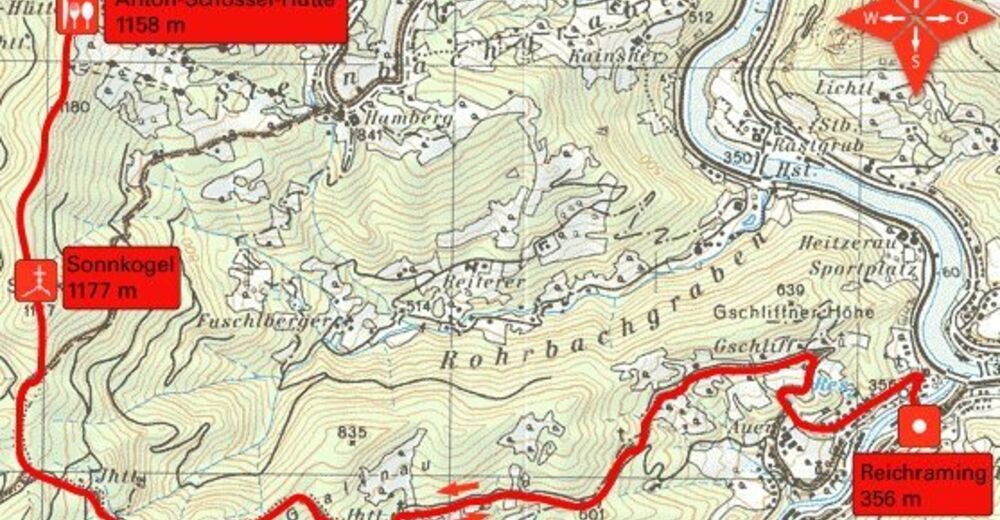
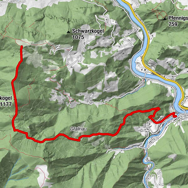
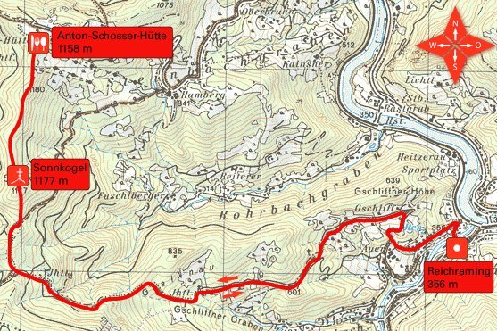
Ortsplatz von Reichraming (356 m)
- Percorso
-
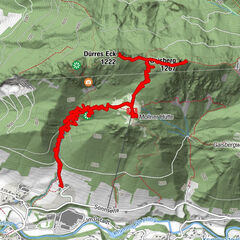
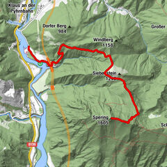
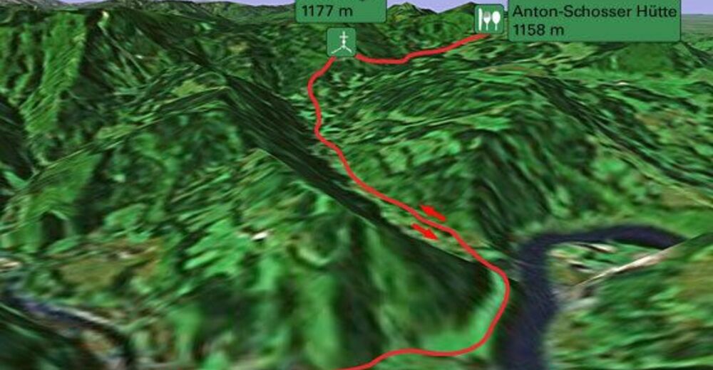
ReichramingSonnkogel (1.177 m)6,8 km
- Punto più alto
- 1.159 m
- Riposo/Ritiro
-
Anton-Schosserhütte
- Cartine


GPS Downloads


Condizioni dei sentieri
Asfalto
Ghiaia
Prato
Foresta
Roccia
Esposta
Altri tour nelle regioni
-
Traunviertel
1940
-
Steyr und die Nationalpark Region
1371
-
Losenstein
397