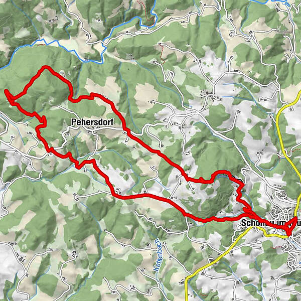
Dati percorsi
15,58km
615
- 839m
483hm
491hm
03:43h
- Descrizione rapida
-
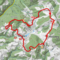
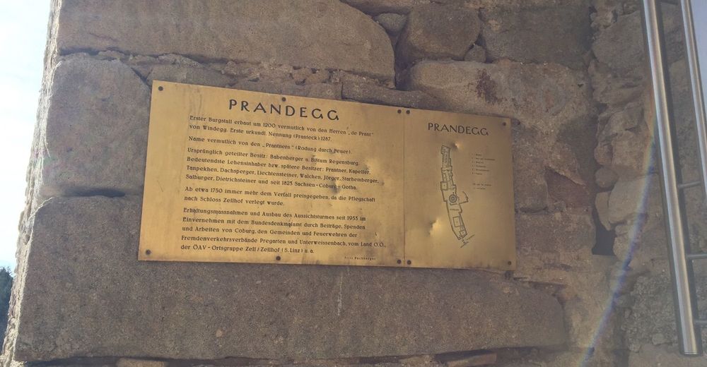
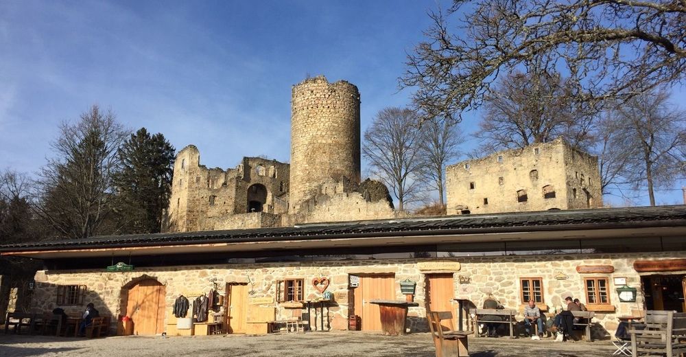
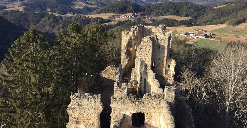
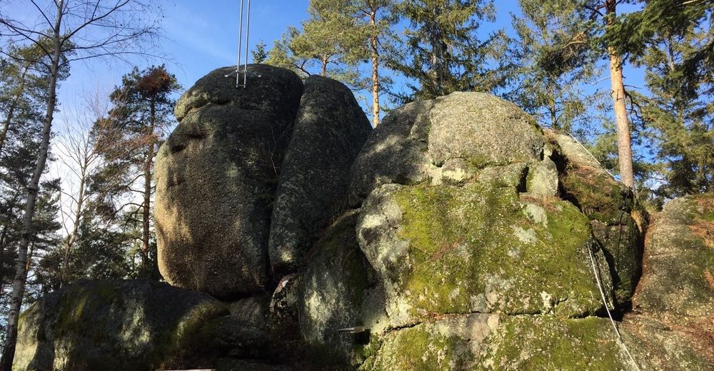
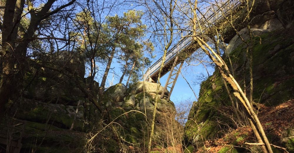
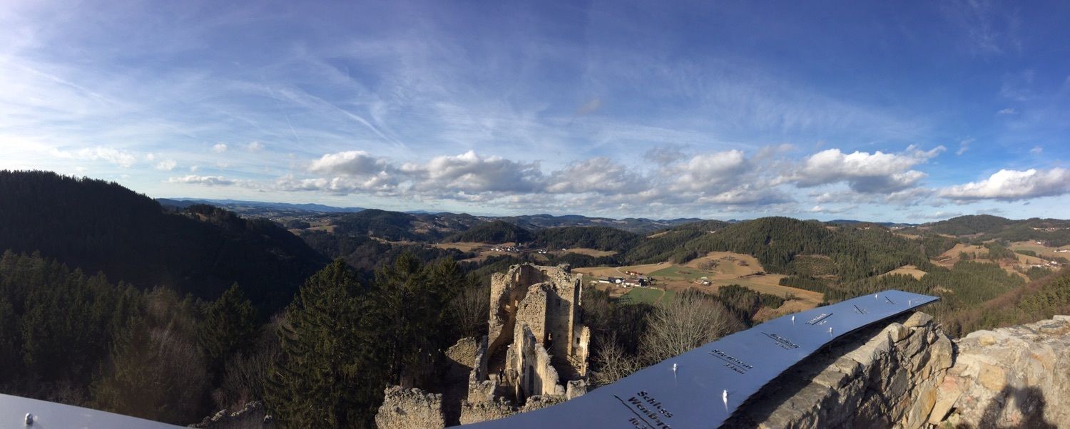
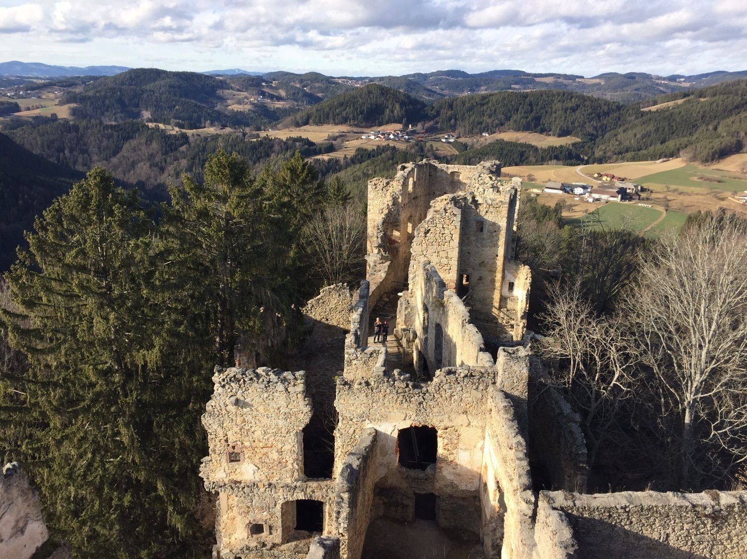
Schönau/Mühlkreis - StoaningerAlm - Herrgottsitz - Ruine Prandegg
- Difficoltà
-
intermedio
- Valutazione
-
- Percorso
-
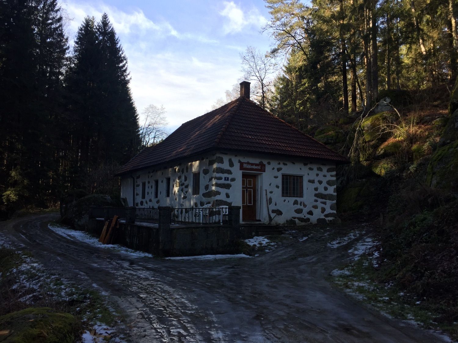
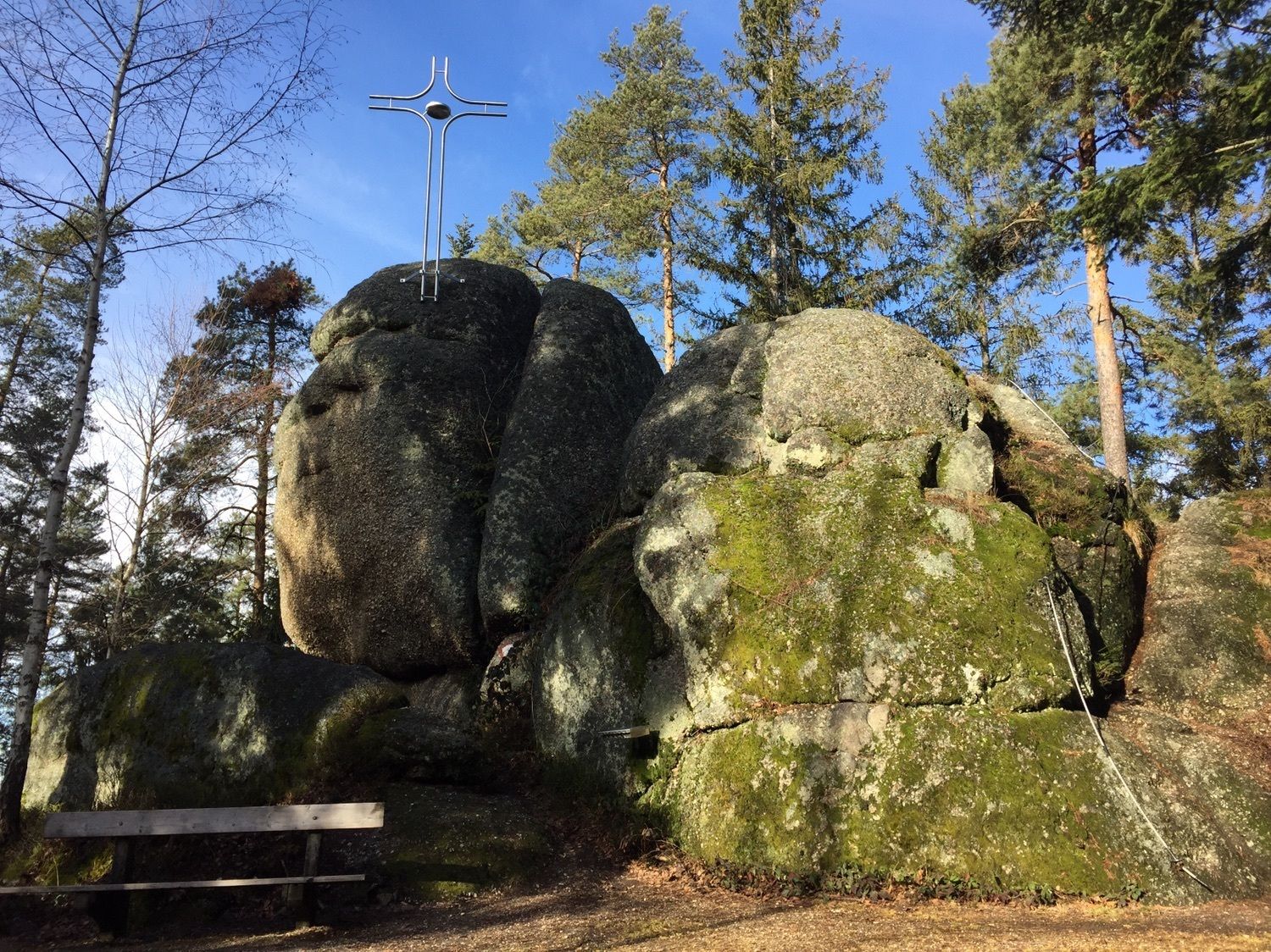
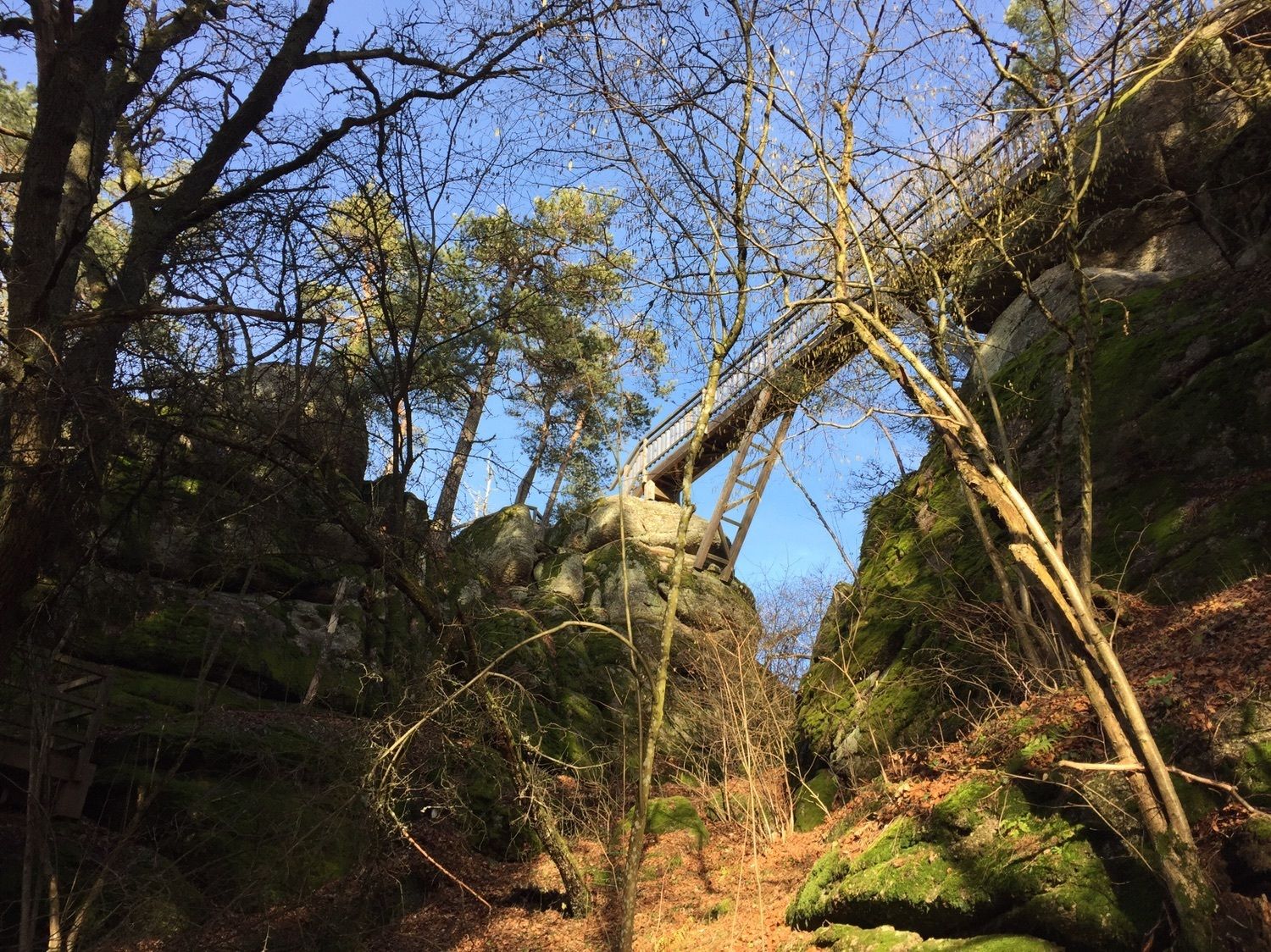
Jakobuskirche0,5 kmSchönau im Mühlkreis0,5 kmStoaninger Alm2,0 kmHerrgottsitz (855 m)3,1 kmKollnedt5,6 kmBurgruine Prandegg8,0 kmTaverne8,3 kmSchönau im Mühlkreis15,2 kmJakobuskirche15,2 km
- Punto più alto
- 839 m


GPS Downloads


Altri tour nelle regioni
-
Mühlviertel
1781
-
Mühlviertler Alm Freistadt
1069
-
Schönau im Mühlkreis
315