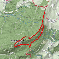
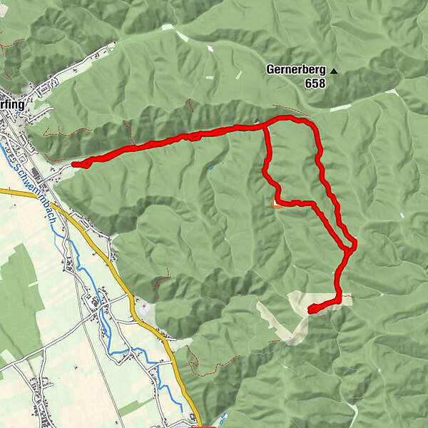
Dati percorsi
11,91km
485
- 695m
229hm
229hm
02:33h
- Descrizione rapida
-
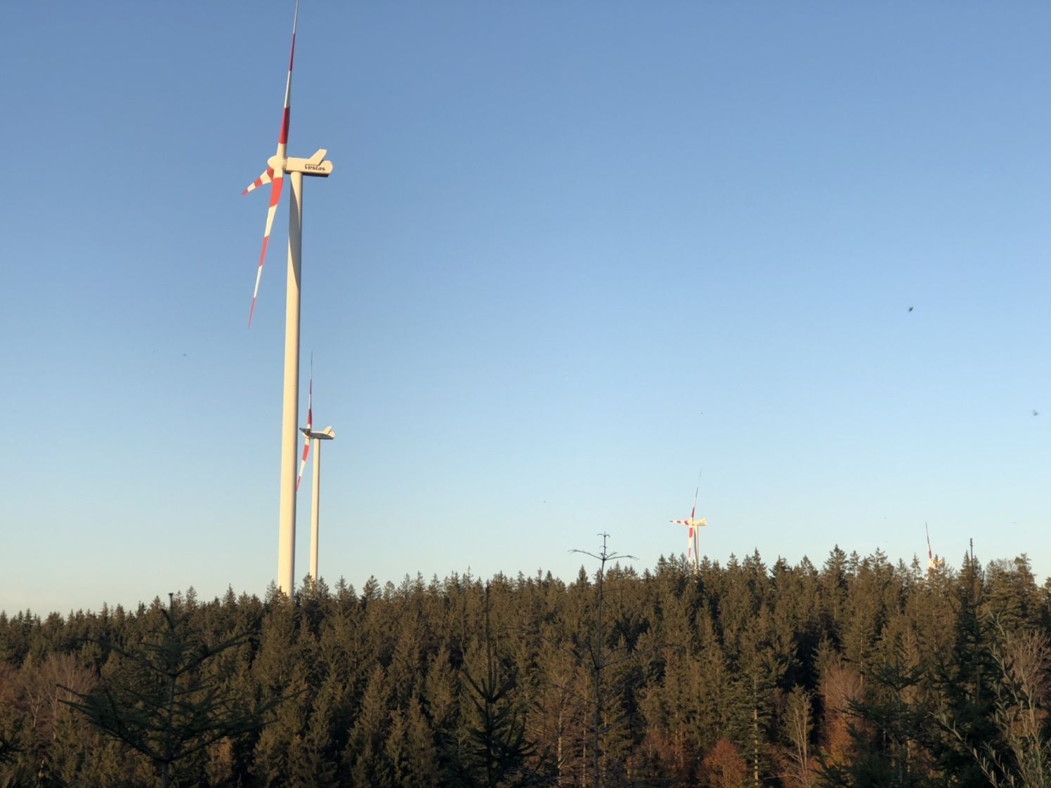
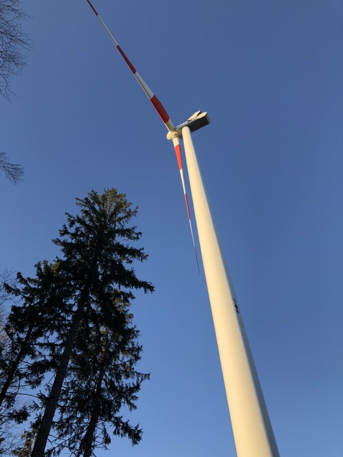
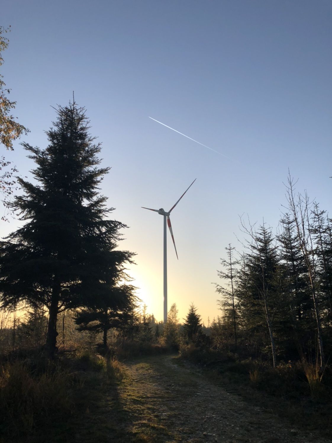
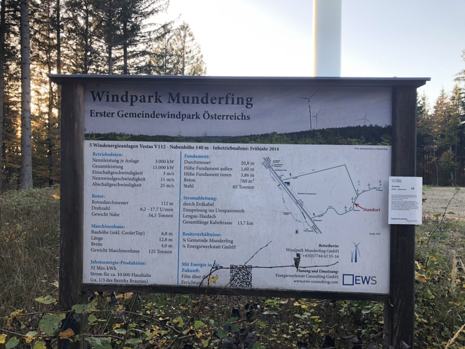
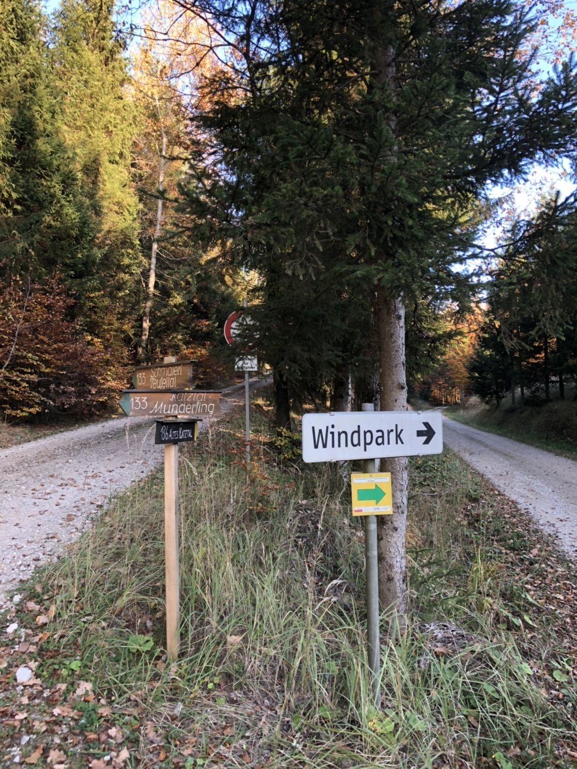
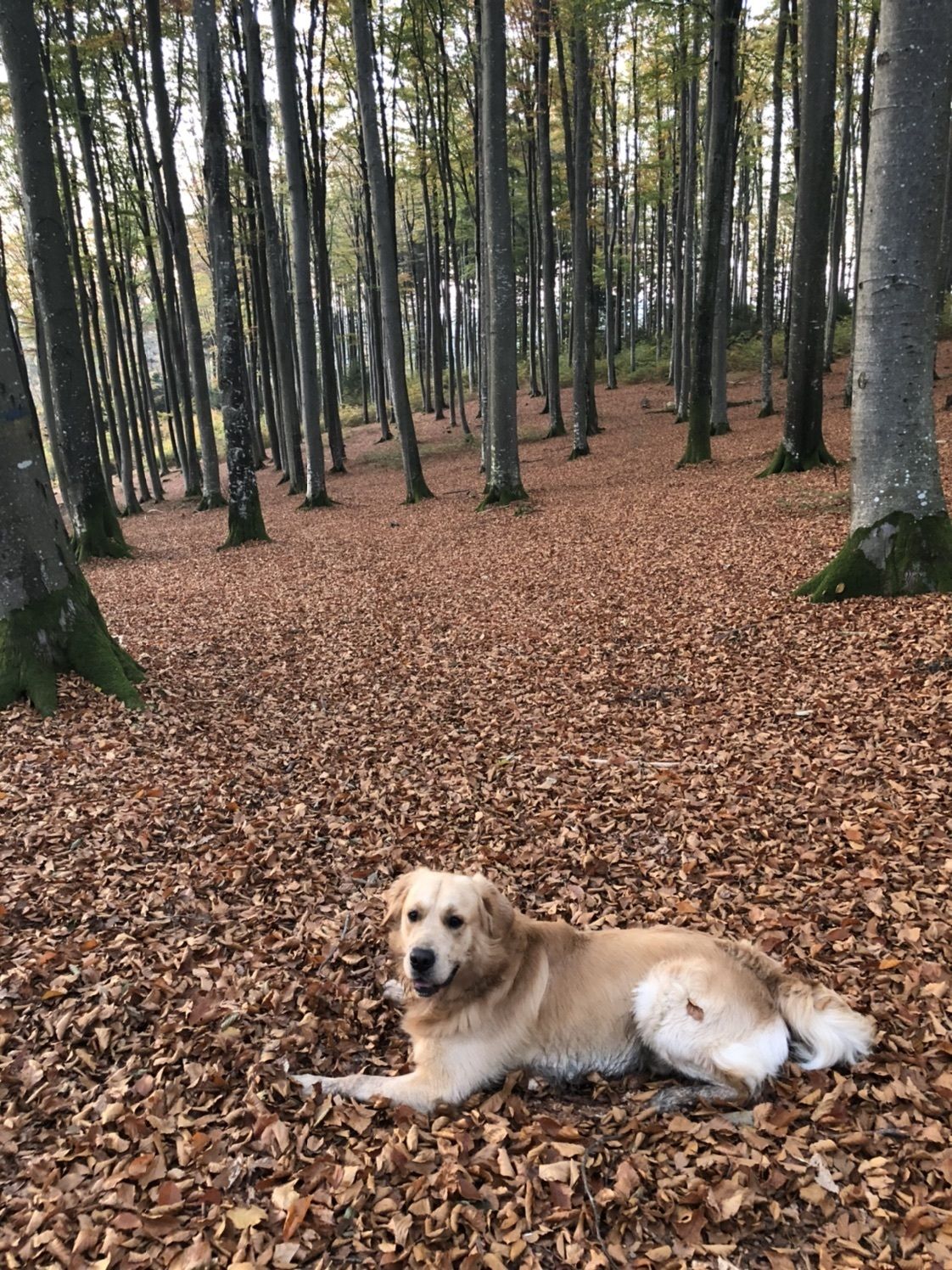
Leichte Wanderung zum Windpark Munderfing
- Difficoltà
-
facile
- Valutazione
-
- Percorso
-
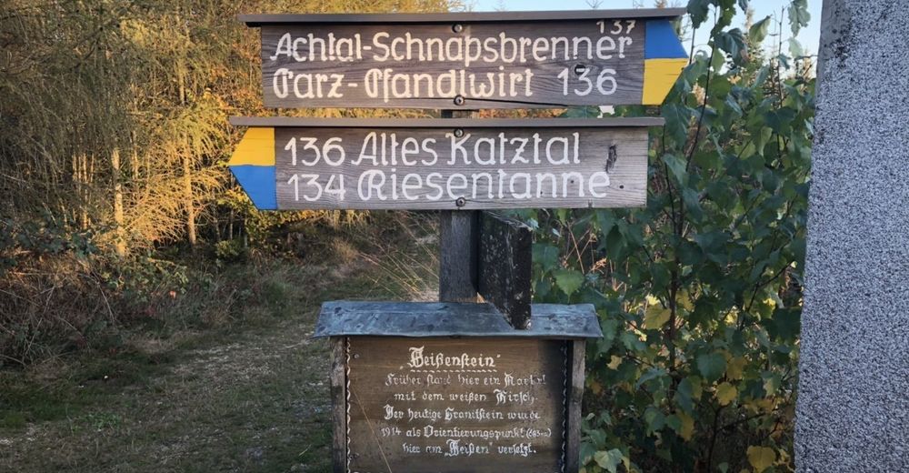
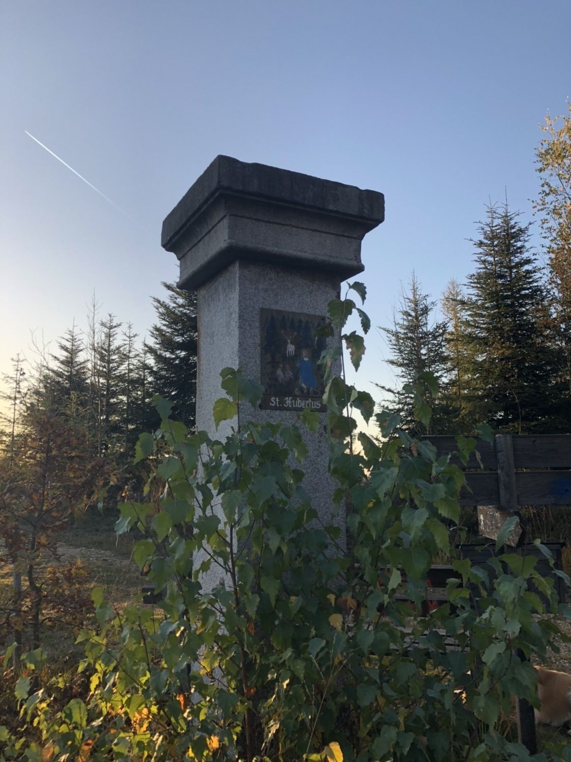
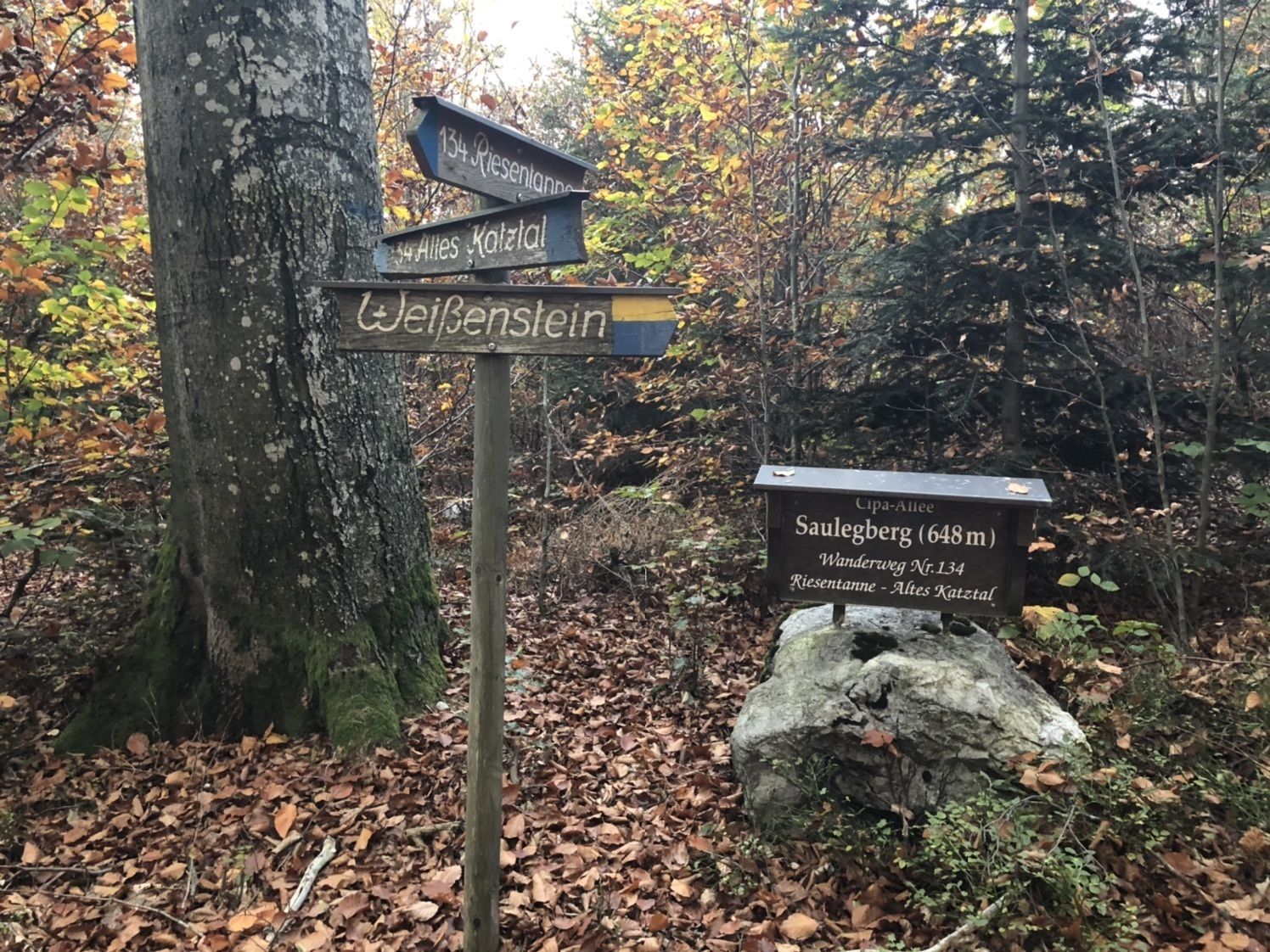
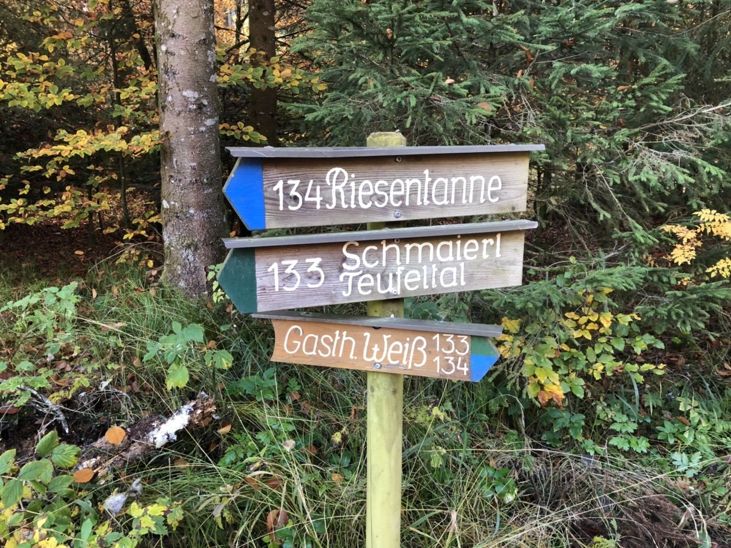
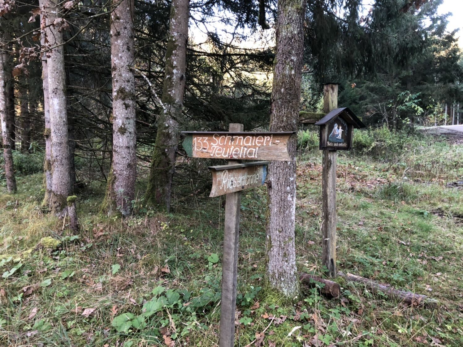
Weißenstein (683 m)5,5 km
- La stagione migliore
-
genfebmaraprmaggiulugagosetottnovdic
- Punto più alto
- 695 m


GPS Downloads


Altri tour nelle regioni
-
Innviertel
797
-
Salzburger Seenland
1042
-
Munderfing
107