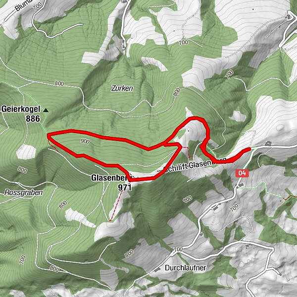
Dati percorsi
4,99km
760
- 956m
168hm
173hm
01:30h
- Descrizione rapida
-
Gemütlicher Rundgang mit wunderschönem Panoramablick
- Difficoltà
-
facile
- Valutazione
-
- Punto di partenza
-
Parkplatz Schilift Glasenberg
- Percorso
-
Glasnerhütte0,2 kmGlasenberg (971 m)3,0 kmGlasnerhütte4,7 km
- La stagione migliore
-
genfebmaraprmaggiulugagosetottnovdic
- Punto più alto
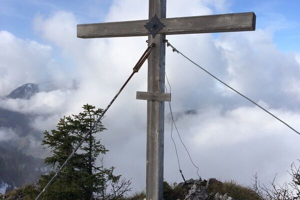
- Glasenberg (956 m)
- Destinazione
-
w.o.
- Riposo/Ritiro
-
Glasner Hütte
- Link
- www.glasenberg.at
GPS Downloads


Condizioni dei sentieri
Asfalto
Ghiaia
Prato
Foresta
Roccia
Esposta
Altri tour nelle regioni
-
Traunviertel
1940
-
Moststraße
754
-
Maria Neustift
333