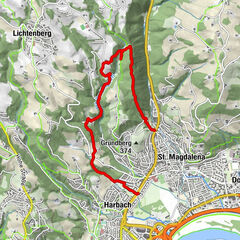
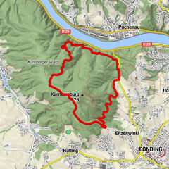
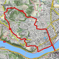
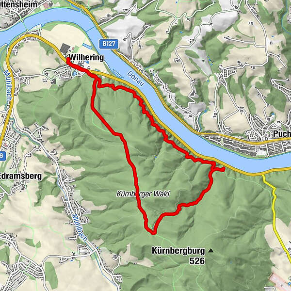
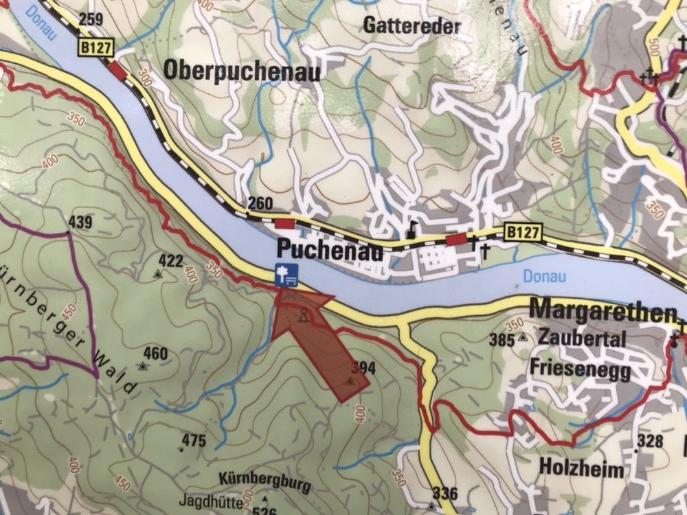
Prinzensteig Rundweg

Logo Prinzensteig Rundweg
Dati percorsi
9,94km
272 - 454m
Distanz
223hm
194hm
L'ascesa
02:37h
 
Durata
Descrizione rapida

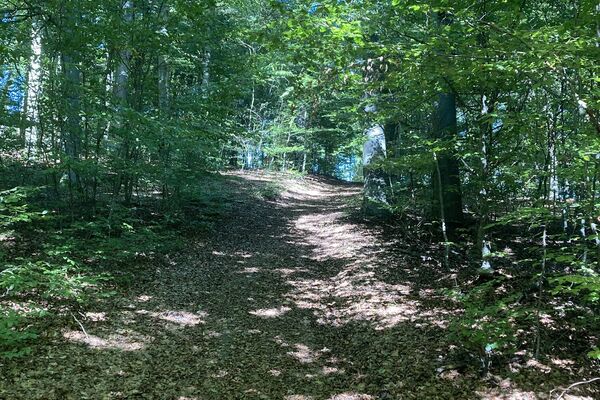
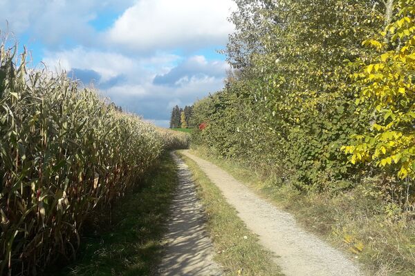
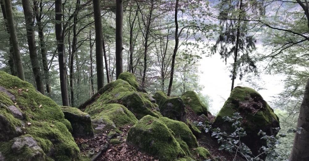
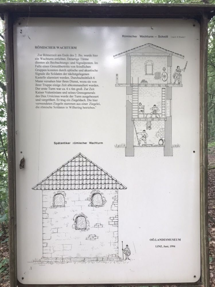
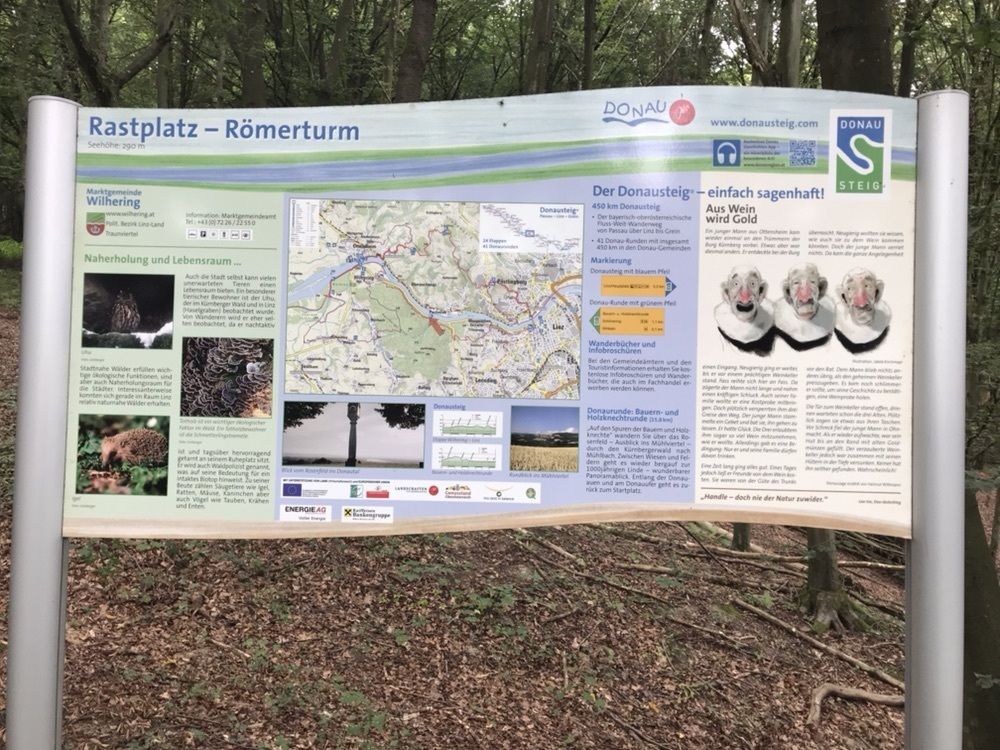
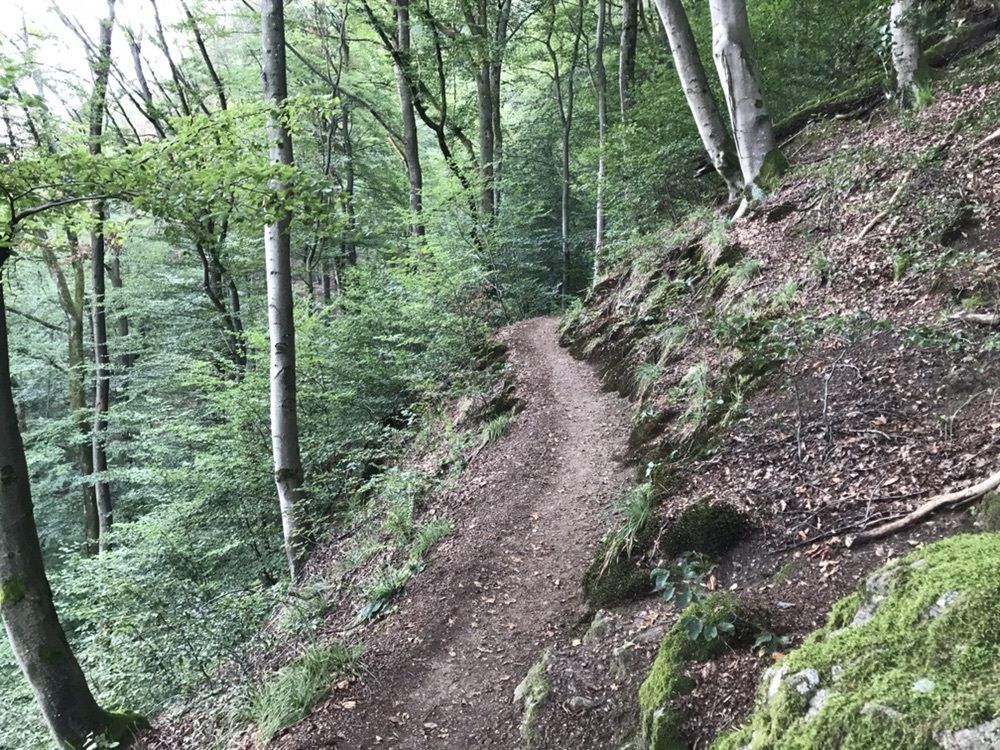
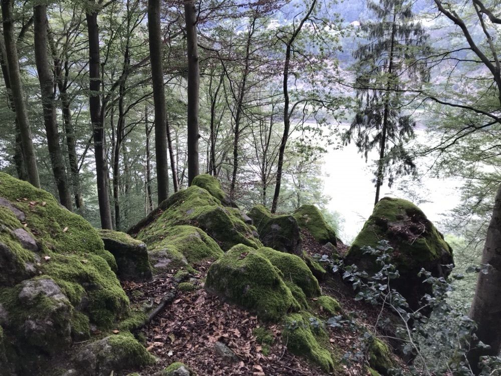
Wilhering, Prinzensteig, Rundwanderweg

Difficoltà
facile
Valutazione
Tecnica
Forma fisica
Panorama
Avventura / Esperienza
Percorso
Wilhering
0,4 km
Wilhering
9,5 km

Punto più alto
454 m

5,0
Valutazione complessiva

5

100

%

4

0

%

3

0

%

2

0

%

1

0

%

GPS Downloads
  • GPX GPS Exchange Format (XML)
  • KML Google Earth, Google Maps
Codici di download QR per telefoni cellulari
Altri tour nelle regioni

Tour popolari della zona

Rundweg über Keglergupf und Gh. Exenschläger

intermedio Escursionismo
7,74km | 305hm | 02:05h

Kürnbergwald - kurzer Rundwanderweg

facile Escursionismo
9,46km | 135hm | 02:49h

Linz: Pöstlingberg Town Hiking Trail

intermedio Escursionismo
7,71km | 241hm | 02:50h

So schön ist Altenberg

facile Escursionismo
9,83km | 213hm | 02:17h