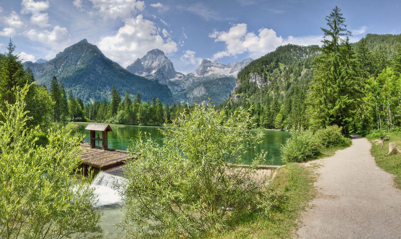
Stegerbach - Öttlgut - Schiederweiher - Ort

Escursionismo


© Schachner
Dati percorsi
-
530
- 810m
-
02:00h

- Descrizione rapida
-
Schwierigkeitsgrad: Blau: Schotterstraße, Feldweg
- Valutazione
-
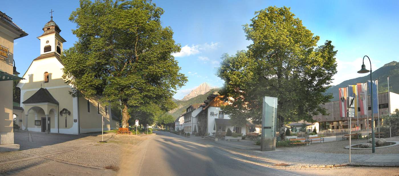
- Punto di partenza
-
Gemeindeamt Hinterstoder
www.pyhrn-priel.net/de/sommer/2690679... - Punto più alto
- 810 m
- Riposo/Ritiro
-
Gastronomie in Hinterstoder
- Cartine
-
Wanderkarte Pyhrn-Priel erhältlich in allen Pyhrn-Priel Tourismusbüros!
Condizioni dei sentieri
Asfalto
Ghiaia
Prato
Foresta
Roccia
Esposta