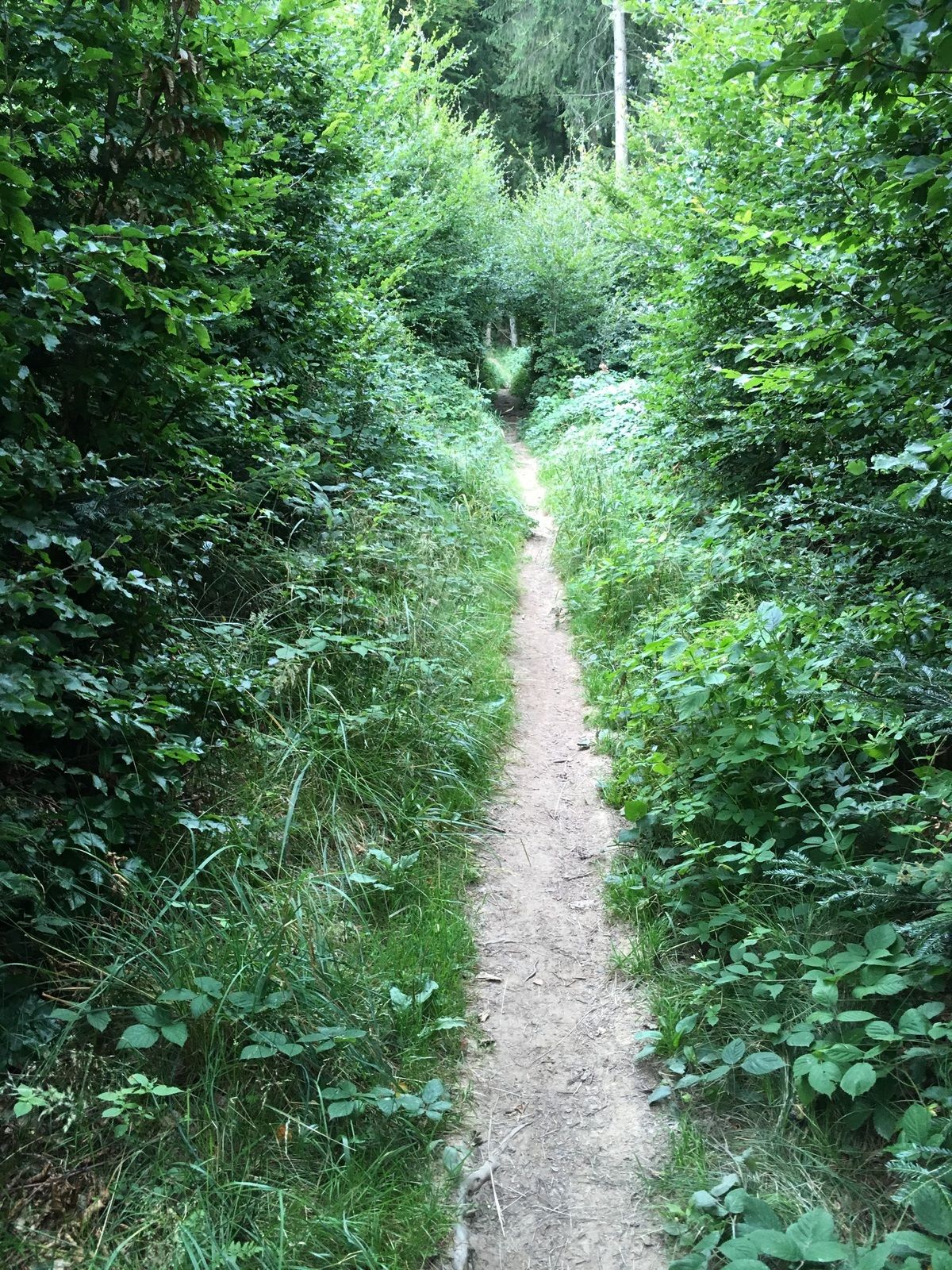
Dati percorsi
6,85km
486
- 794m
339hm
329hm
01:49h

- Difficoltà
-
facile
- Valutazione
-
- Percorso
-
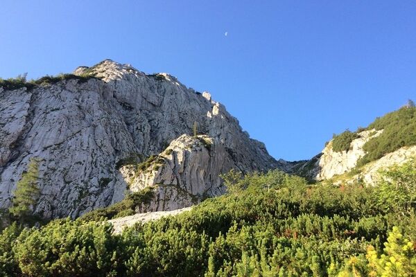
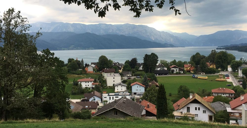
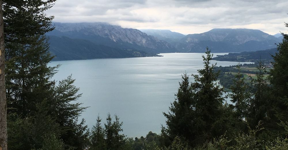
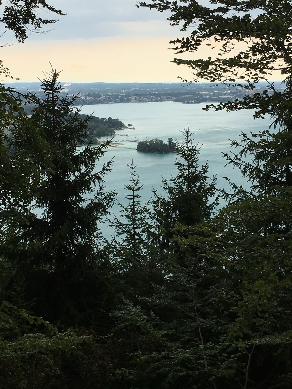
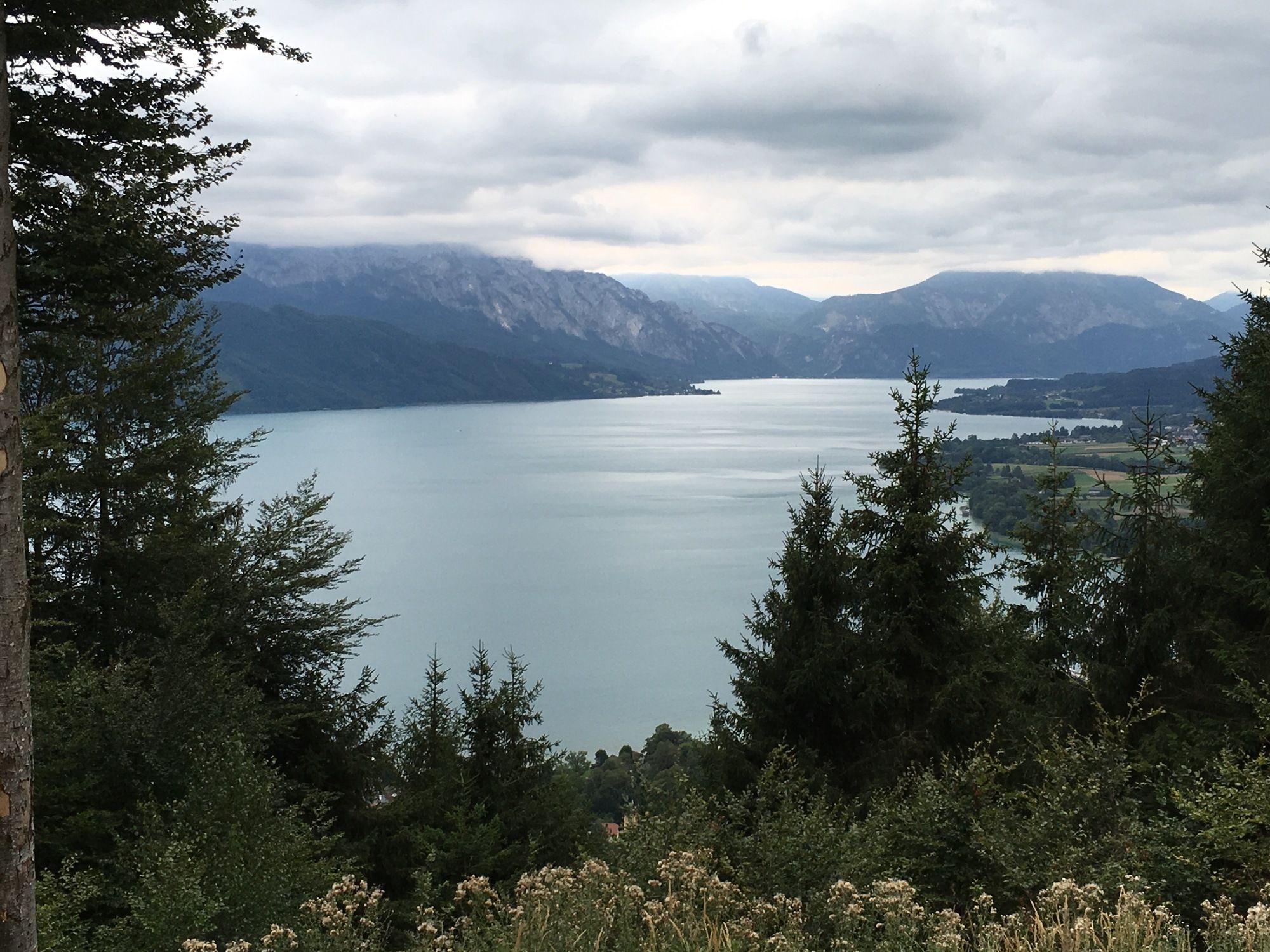
Attersee am Attersee0,0 kmBuchberg (808 m)4,7 kmAttersee am Attersee6,8 km
- Punto più alto
- 794 m

GPS Downloads


Altri tour nelle regioni