
© Ferienregion Dachstein Salzkammergut
Dati percorsi
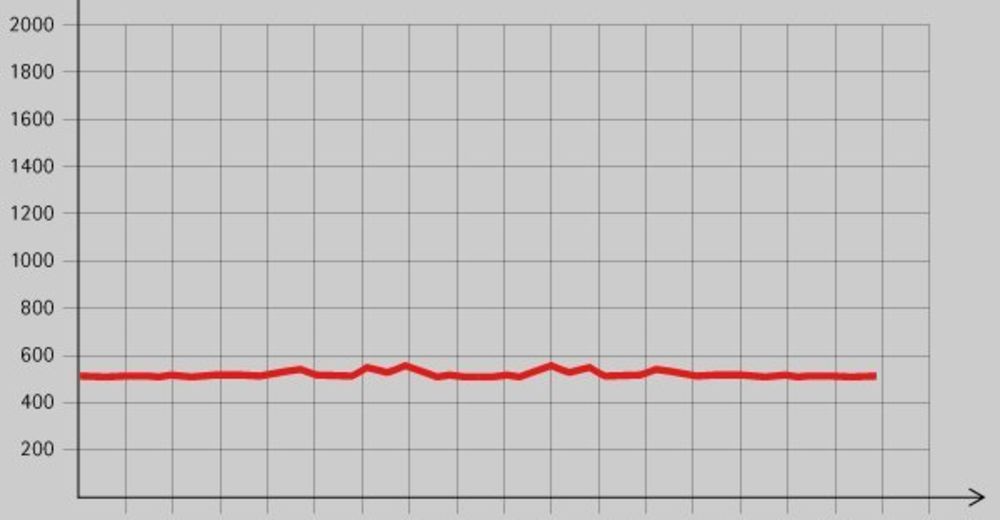
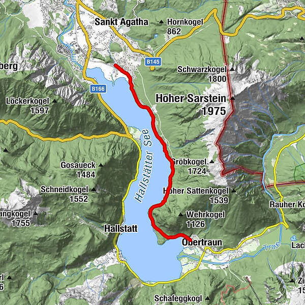
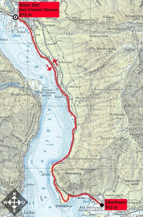
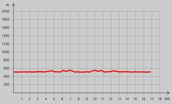
16,2km
509
- 542m
128hm
128hm
03:00h
- Descrizione rapida
-
Idyllische Wanderung
- Difficoltà
-
facile
- Valutazione
-
- Punto di partenza
-
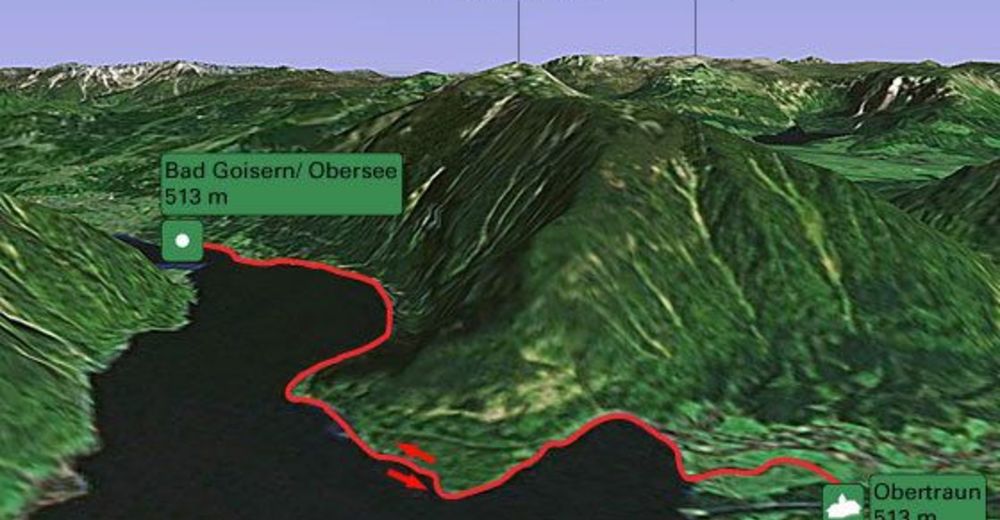
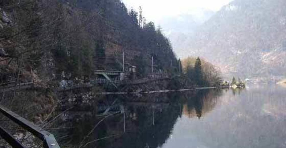
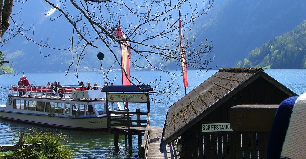
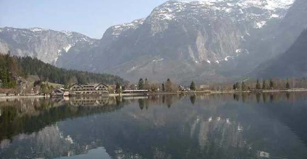
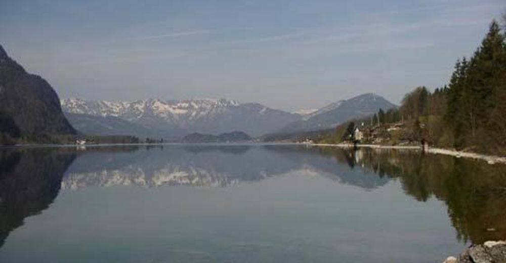
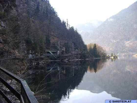
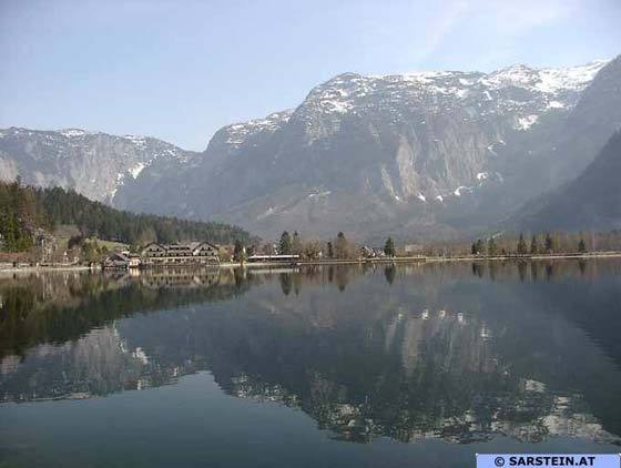
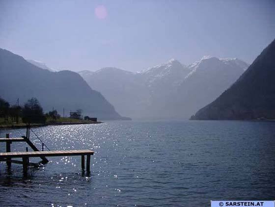
Steeg am Hallstättersee
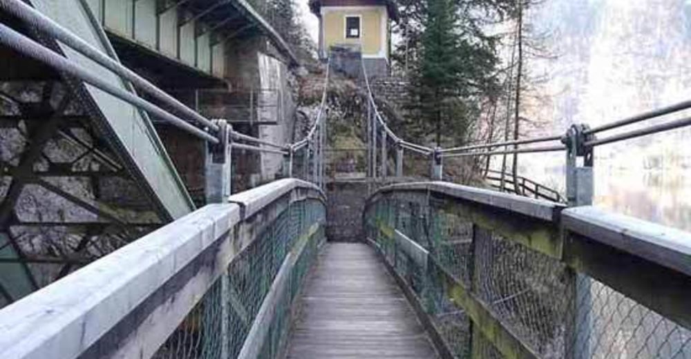
- Percorso
-
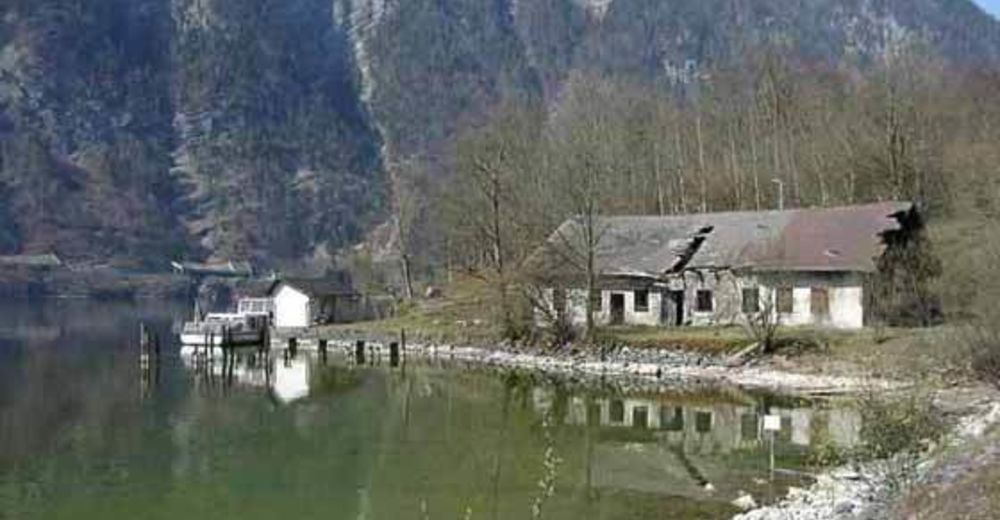
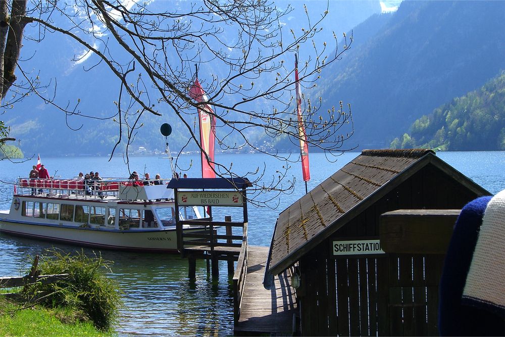
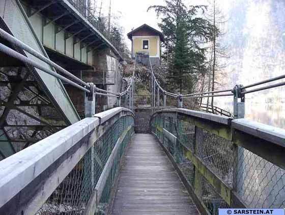
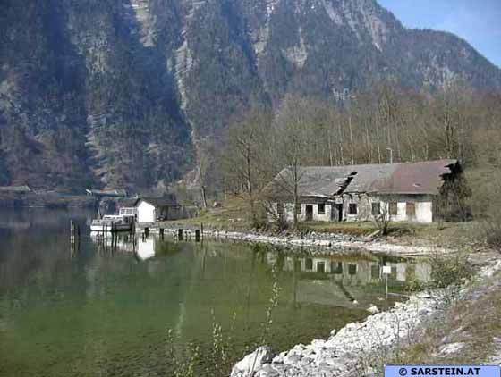
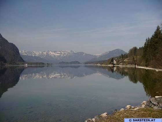
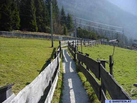
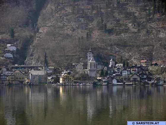
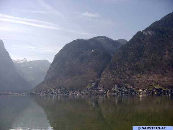
Seeraunzn3,1 kmPanoramablick auf Hallstatt6,5 kmObertraun8,0 km
- Punto più alto
- 542 m
- Riposo/Ritiro
-
Seeufer Wirt " Seeraunzn" in Obersee www.seeraunzn.at oder
das Seecafe am Strandbadgelände Obertraun - Cartine
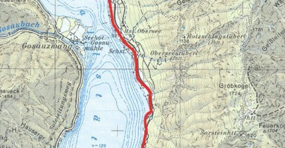
-
Naturerlebniskarte Dachstein Salzkammergut


GPS Downloads


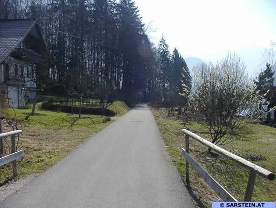
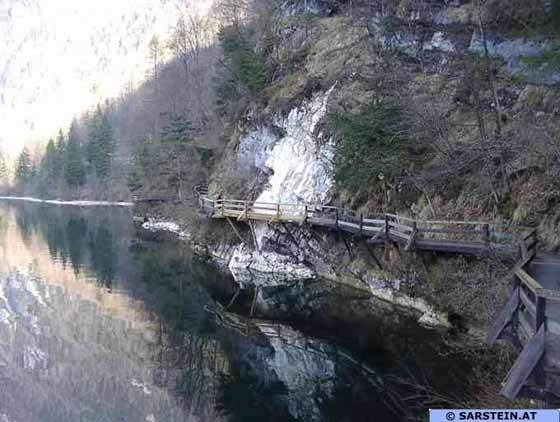
Condizioni dei sentieri
Asfalto
Ghiaia
Prato
Foresta
Roccia
Esposta
Altri tour nelle regioni
-
Salzkammergut Oberösterreich
3081
-
Dachstein Salzkammergut
1701
-
Hallstatt
406


