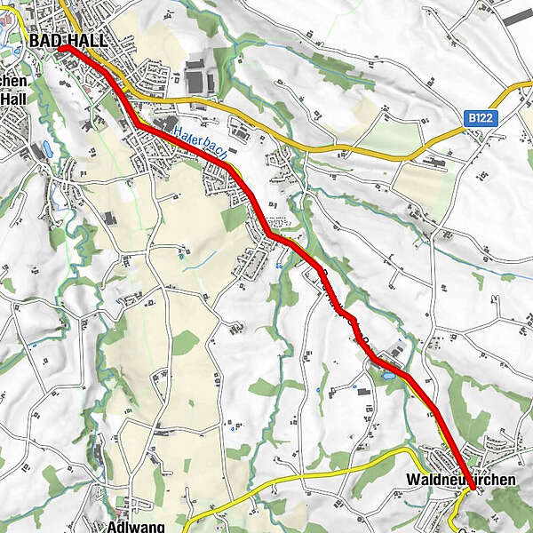
Verbindungsweg Bad Hall -Waldneukirchen

Logo Verbindungsweg Bad Hall -Waldneukirchen
Dati percorsi
6,04km
380 - 443m
Distanz
66hm
L'ascesa
01:30h
 
Durata
Descrizione rapida

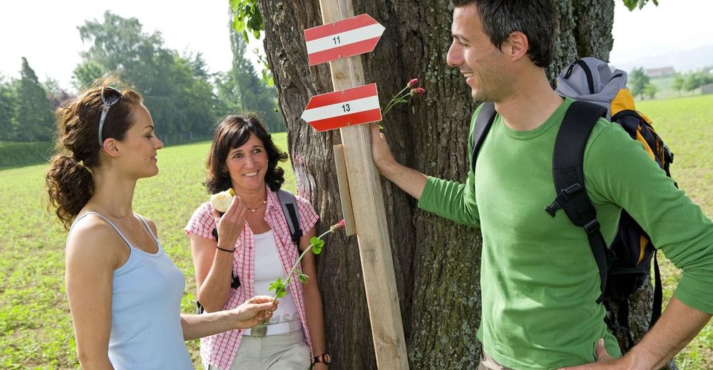
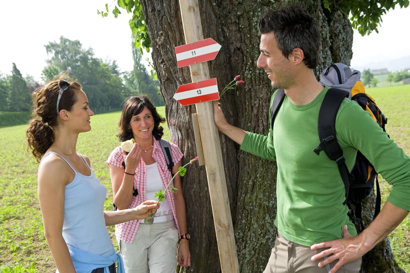
66 Verbindungsweg Bad Hall-Waldneukirchen

Difficoltà
facile
Valutazione
Tecnica
Forma fisica
Panorama
Avventura / Esperienza
Percorso
Bad Hall
0,1 km
Kallerstorf
4,2 km
Four Seasons
5,2 km
Dorftaverne
5,6 km
Waldneukirchen
5,6 km

La stagione migliore
gen
feb
mar
apr
mag
giu
lug
ago
set
ott
nov
dic
Punto più alto
443 m

Valutazione complessiva

5

0

%

4

0

%

3

0

%

2

0

%

1

0

%

Errore
Si è verificato un errore. Si prega di riprovare.
Grazie per la vostra recensione

La valutazione è stata cancellata

GPS Downloads
  • GPX GPS Exchange Format (XML)
  • KML Google Earth, Google Maps
Codici di download QR per telefoni cellulari

Condizioni dei sentieri

Asfalto (80%)
Ghiaia
Prato (20%)
Foresta
Roccia
Esposta
Altri tour nelle regioni

Tour popolari della zona

Gaisberg und Dürres Eck über Mollner Hütte

intermedio Escursionismo
9,98km | 782hm | 04:00h

Mountain tour on the Kremsmauer

difficile Escursionismo
13,86km | 1341hm | 06:07h

Rinnerberger Wasserfall - Klamm

intermedio Escursionismo
7,55km | 272hm | 02:27h

Schieferstein via Reichraming

intermedio Escursionismo
7,03km | 804hm | 02:45h