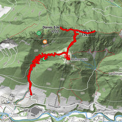
Dati percorsi
10,62km
360
- 426m
86hm
03:30h

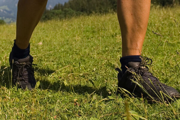
- Descrizione rapida
-
11 Adlwanger Rundwanderweg
- Difficoltà
-
facile
- Valutazione
-
- Percorso
-
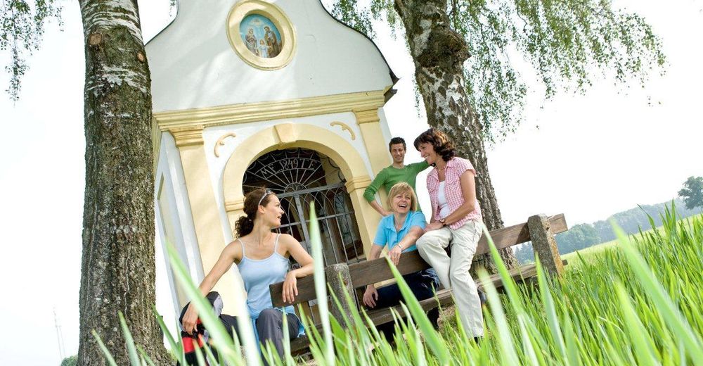
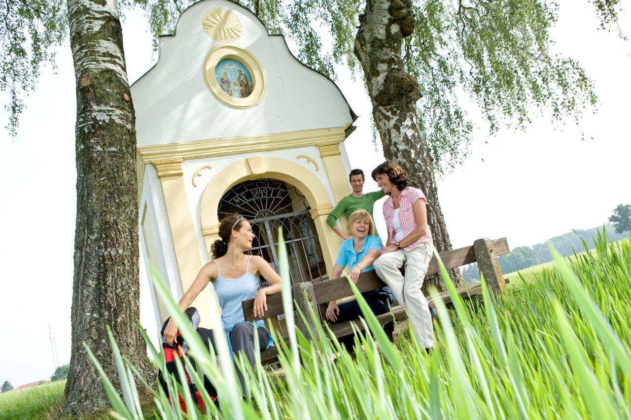
Bad HallGasthaus Lamplhub0,8 kmPfarrkirche Adlwang4,6 kmKapelle Heiliger Brunnen4,8 kmAdlwang4,8 kmKulinarium4,8 kmMühlgrub8,8 kmBad Hall10,1 km
- La stagione migliore
-
genfebmaraprmaggiulugagosetottnovdic
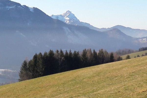
- Punto più alto
- 426 m
GPS Downloads


Condizioni dei sentieri
Asfalto
(30%)
Ghiaia
Prato
(50%)
Foresta
(20%)
Roccia
Esposta
Altri tour nelle regioni
-
Traunviertel
1940
-
Tourismusregion Bad Hall
770
-
Adlwang
295