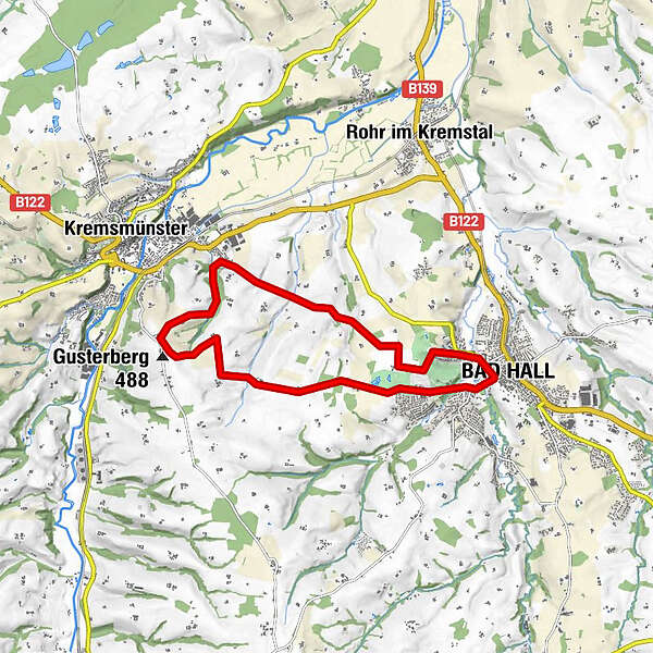
Dati percorsi
13,31km
351
- 483m
245hm
04:30h
- Descrizione rapida
-
10 Kremsmünsterer Rundwanderweg
- Difficoltà
-
facile
- Valutazione
-
- Percorso
-
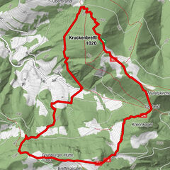
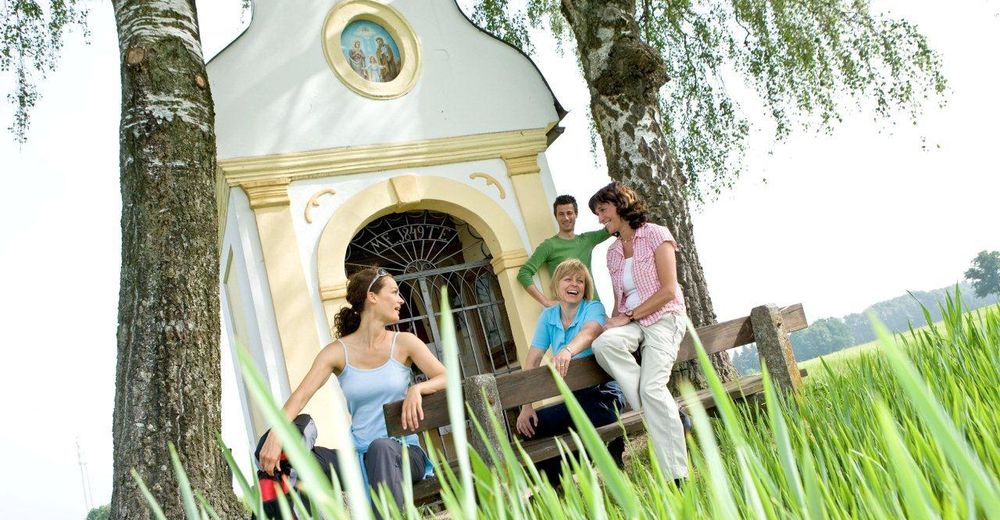
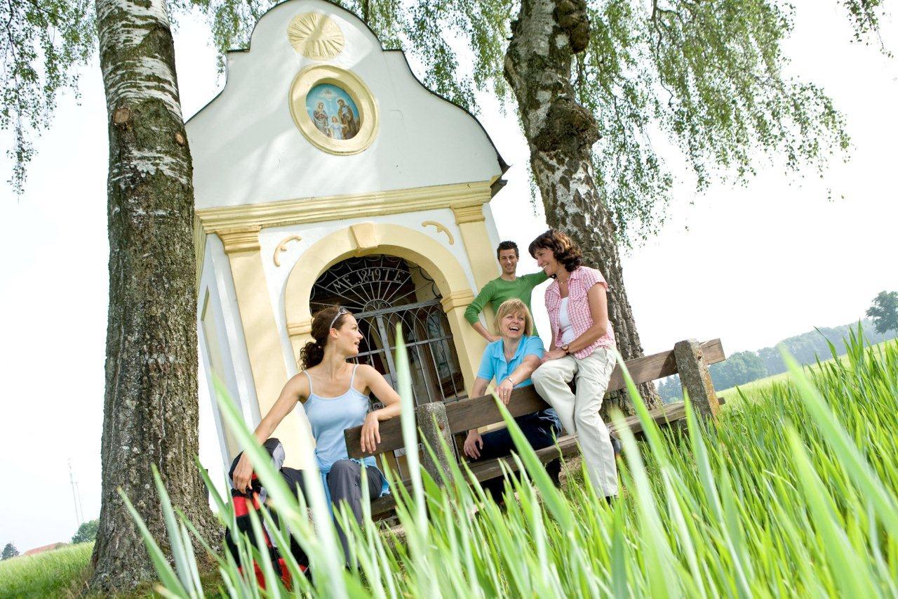
Bad HallPfarrkirche Bad Hall0,1 kmMargarethenkapelle0,2 kmam Golfplatz1,0 kmHöhle5,9 kmGusterberg (488 m)7,2 kmDehenwang9,8 kmFeyregg11,8 kmPfarrkirchen bei Bad Hall12,2 kmBad Hall12,8 km
- Punto più alto
- 483 m
GPS Downloads


Condizioni dei sentieri
Asfalto
(50%)
Ghiaia
Prato
(40%)
Foresta
(10%)
Roccia
Esposta
Altri tour nelle regioni
-
Traunviertel
1964
-
Tourismusregion Bad Hall
778
-
Bad Hall
141