Dati percorsi
4km
501
- 620m
130hm
130hm
00:55h

- Descrizione rapida
-
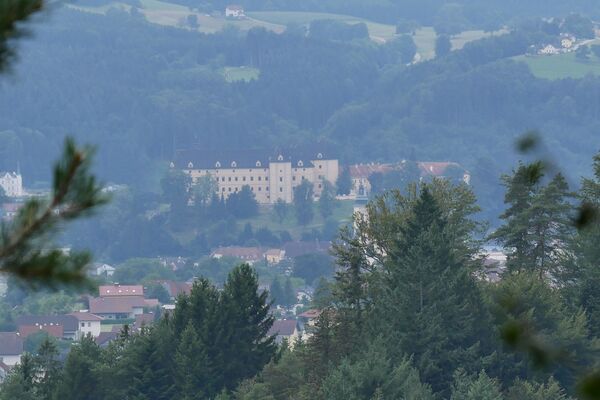
Angenehme Stundenwanderung im Nahebereich der Kuranstalt
- Difficoltà
-
facile
- Valutazione
-
- Punto di partenza
-
Bad Zell, Info-Büro beim Hotel Lebensquell
- Percorso
-
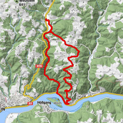
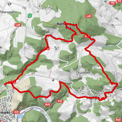
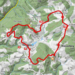
Bad Zell0,0 kmBaumberg (630 m)3,1 kmBad Zell4,3 km
- La stagione migliore
-
genfebmaraprmaggiulugagosetottnovdic
- Punto più alto
- 620 m
- Destinazione
-
Bad Zell, Info-Büro beim Hotel Lebensquell
- Riposo/Ritiro
-
Bei Halbzeit der Wanderung kann man von der Route rechts zum Zellhof-Wirt abzweigen - 500 m entfernt.
- Fonte
- G.Z.
GPS Downloads


Condizioni dei sentieri
Asfalto
Ghiaia
Prato
Foresta
Roccia
Esposta
Altri tour nelle regioni
-
Mühlviertel
1781
-
Mühlviertler Alm Freistadt
1069
-
Bad Zell
334