


© Kungl


© Kungl

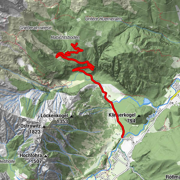
Dati percorsi
6,86km
614
- 1.116m
482hm
02:00h
- Valutazione
-
- Punto di partenza
-
Parkplatz.
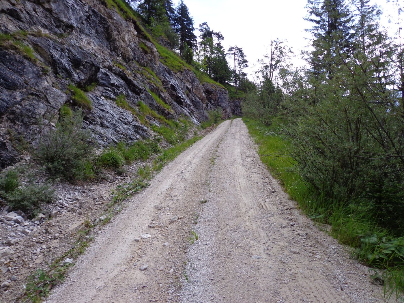
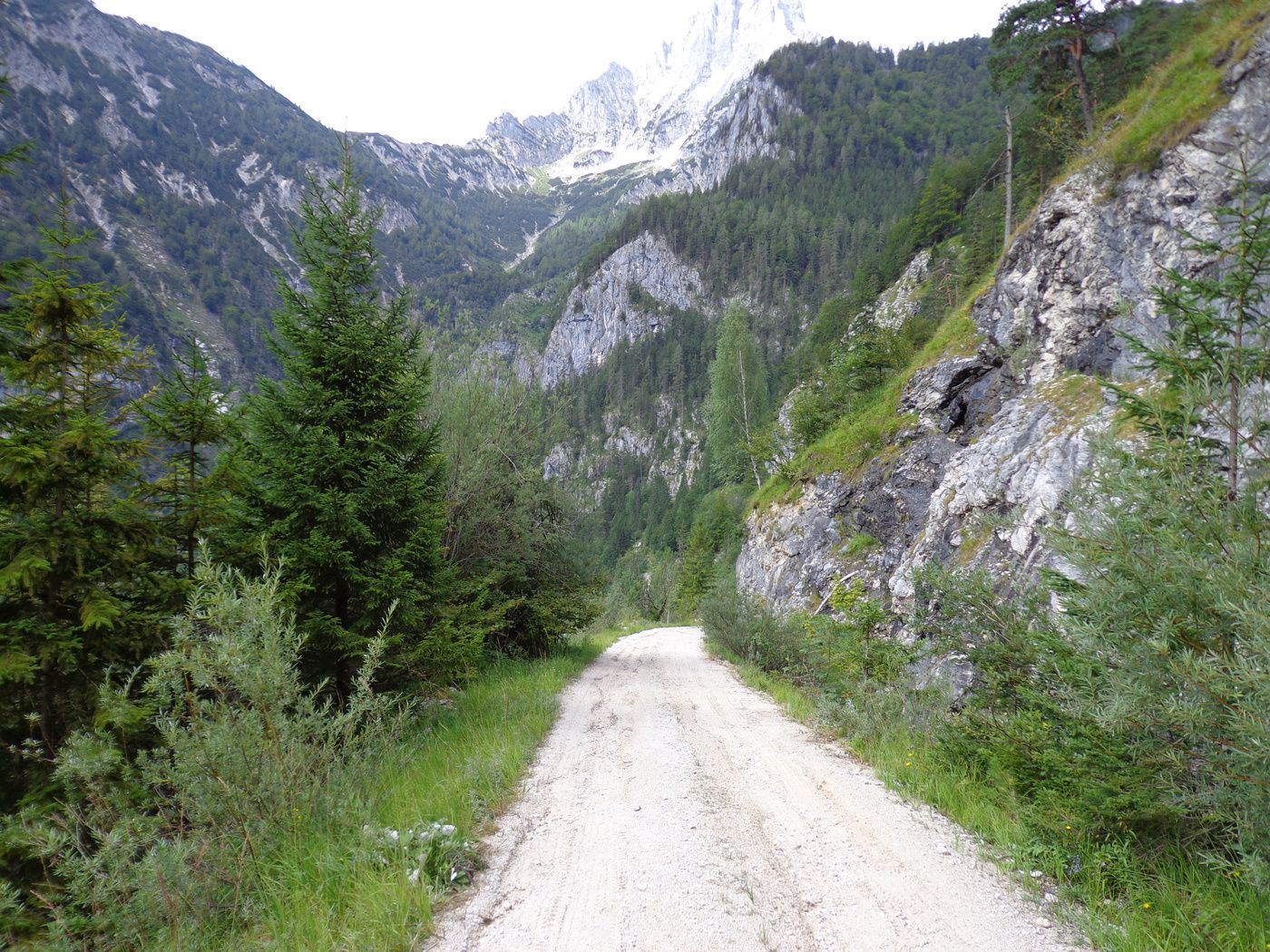
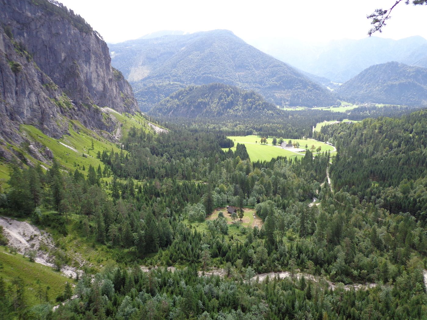
- Percorso
-
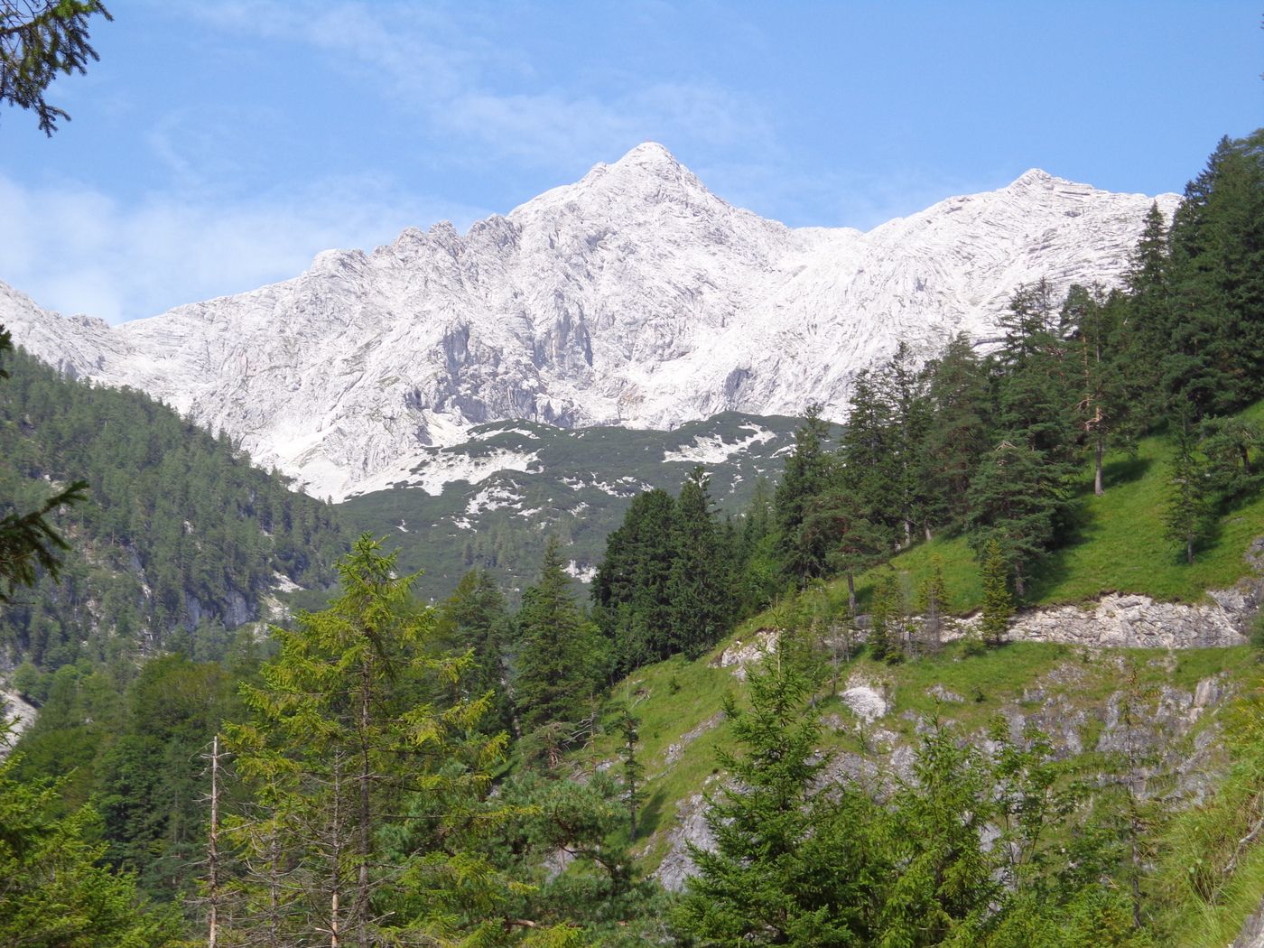
Hinterberg
- Punto più alto
- 1.116 m

GPS Downloads


Condizioni dei sentieri
Asfalto
Ghiaia
Prato
Foresta
Roccia
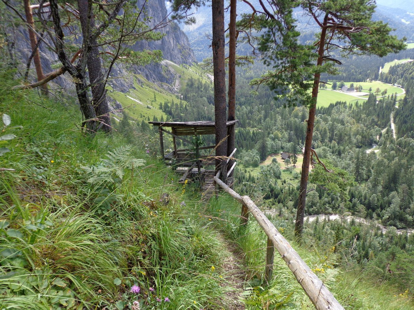
Esposta
Altri tour nelle regioni


