Dati percorsi
7,45km
287
- 442m
191hm
191hm
02:30h
- Descrizione rapida
-
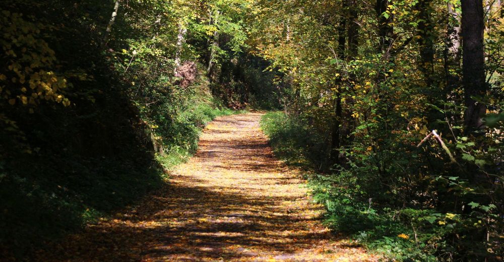
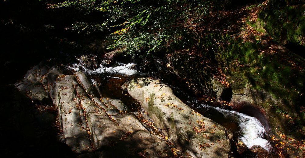
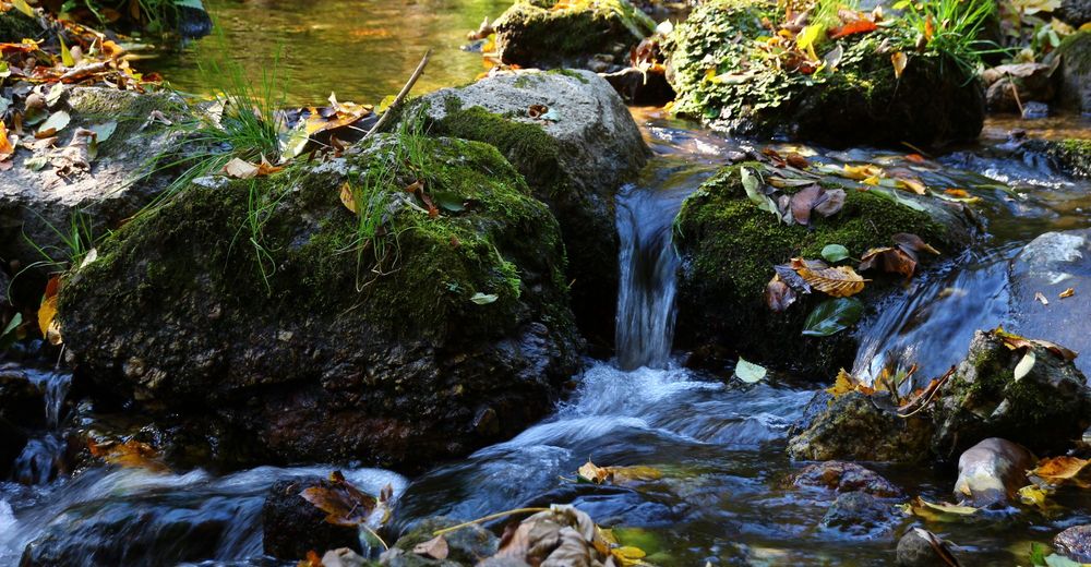
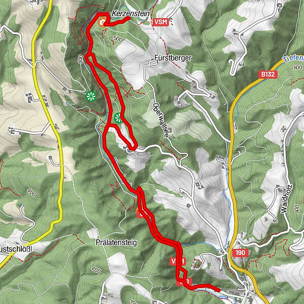
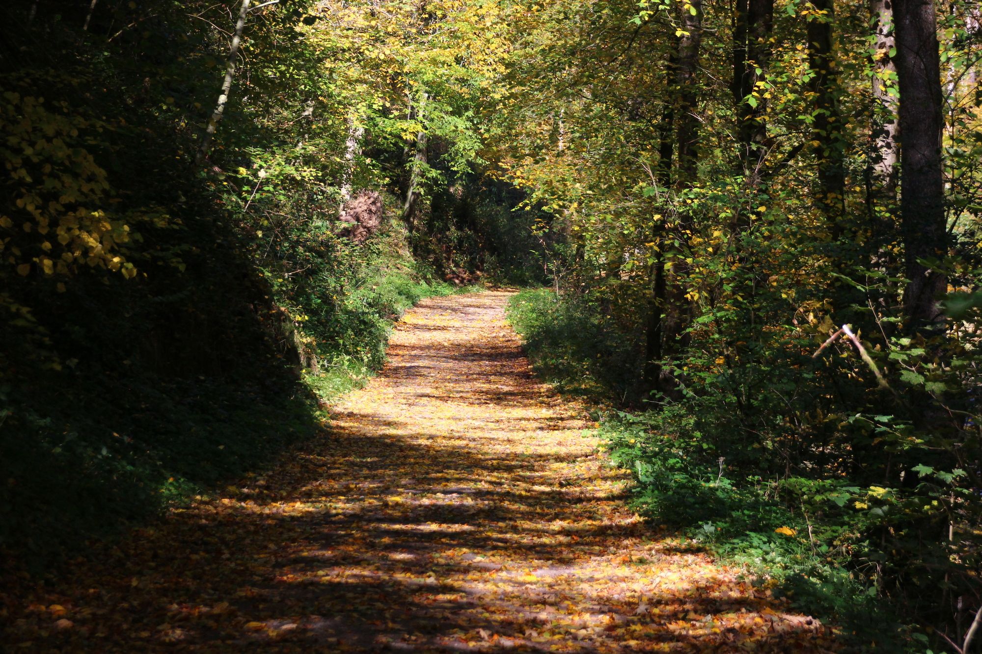
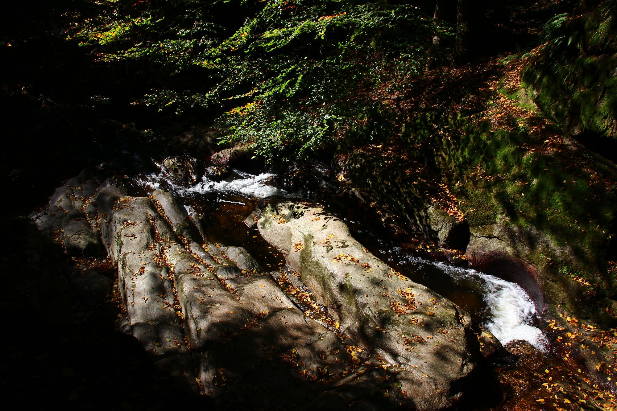
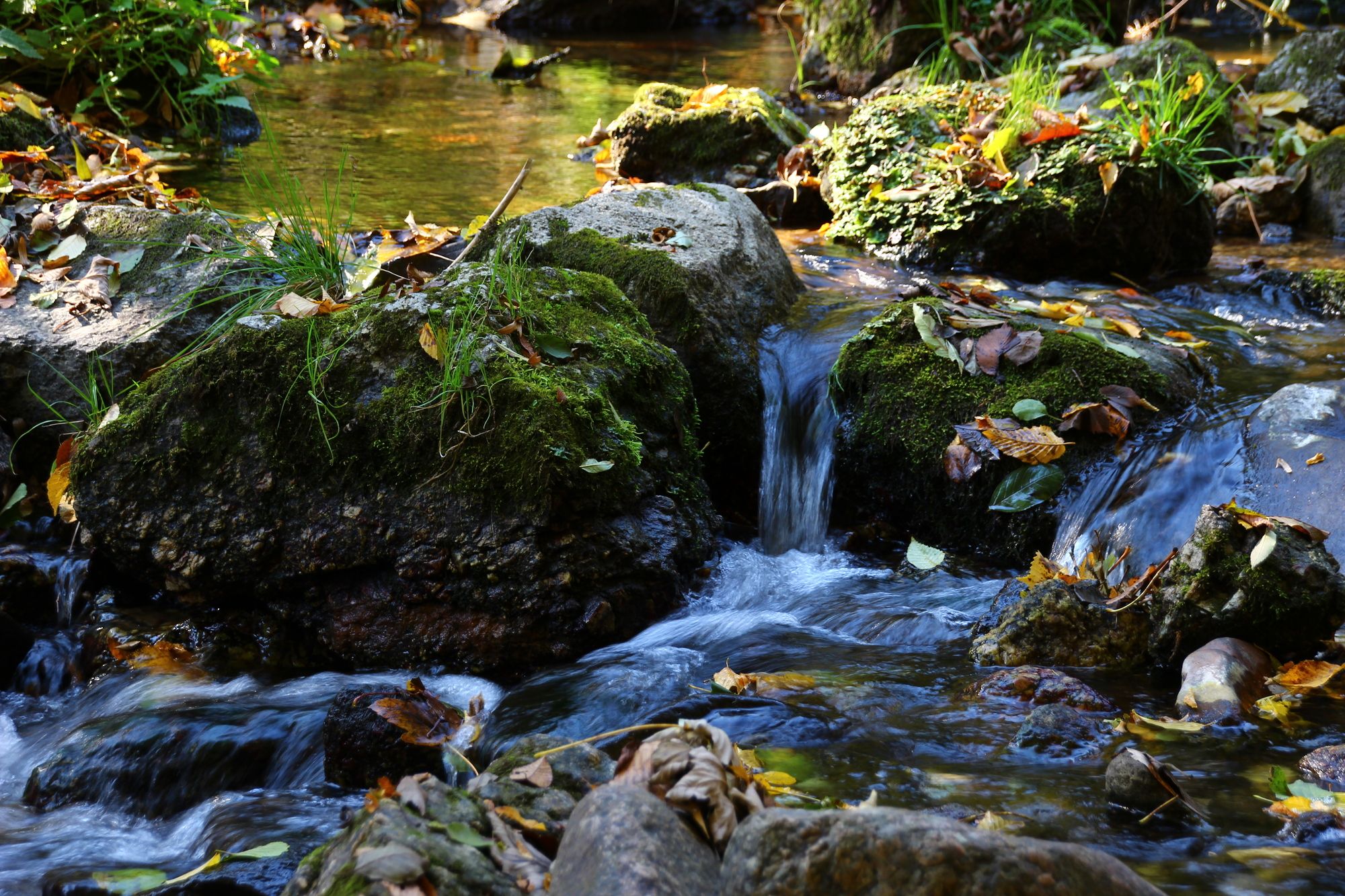
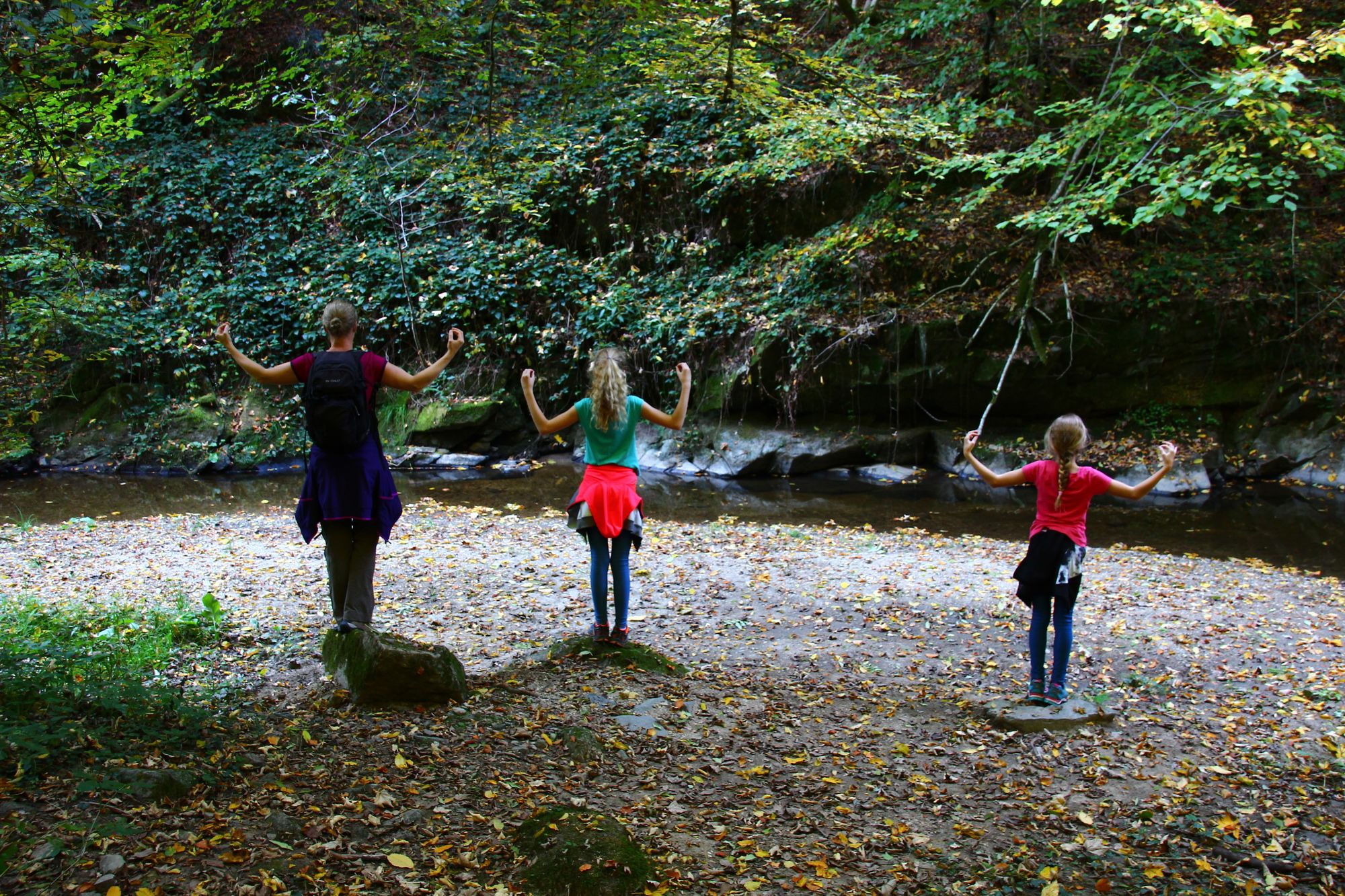
Kurze Wanderung entlang des idyllischen Pesenbaches zum Kerzenstein.
- Difficoltà
-
facile
- Valutazione
-
- Punto di partenza
-
Waldbad Bad Mühllacken
- Percorso
-
Hl. Brunnkapell0,9 kmNyphenhain1,9 kmSchlagerwirt5,1 kmHl. Brunnkapell6,4 km
- La stagione migliore
-
genfebmaraprmaggiulugagosetottnovdic
- Punto più alto
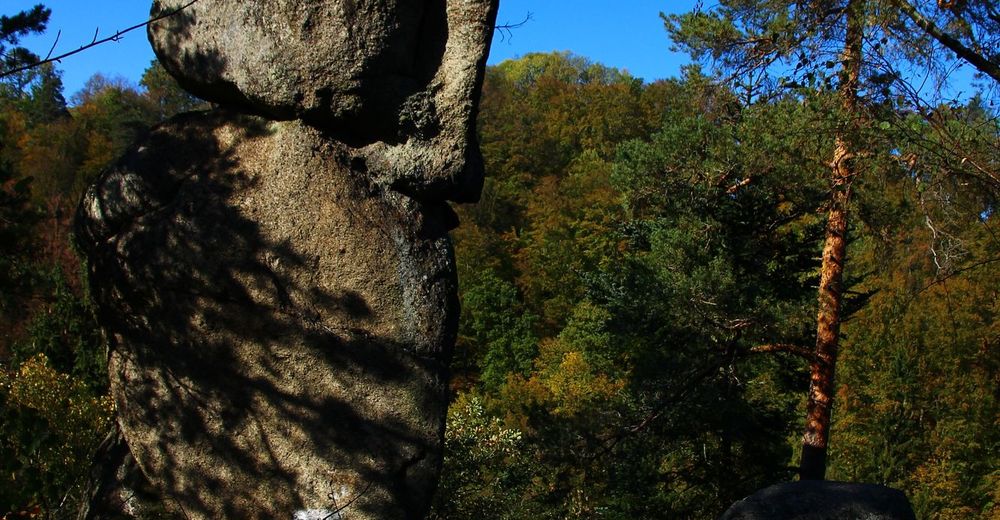
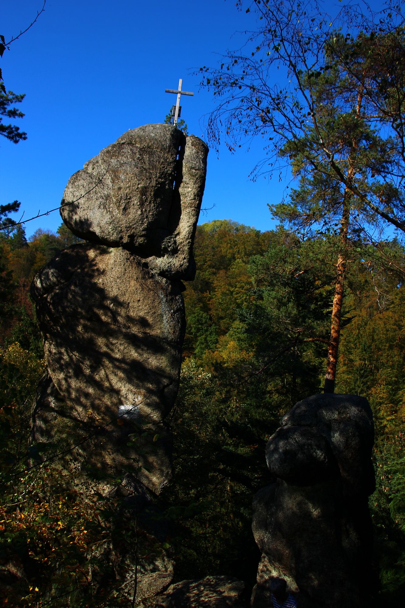
- Kerzenstein (442 m)
- Destinazione
-
Waldbad Bad Mühllacken
- Riposo/Ritiro
-
GH Schlagerwirt, Jausenstation Fürstberger
- Fonte
- Christian Paar
GPS Downloads


Condizioni dei sentieri
Asfalto
(5)
Ghiaia
(20)
Prato
Foresta
(75)
Roccia
Esposta
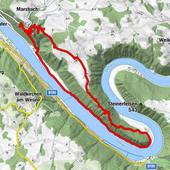
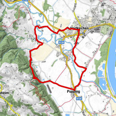
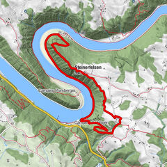
Altri tour nelle regioni
-
Mühlviertel
1869
-
Donau Oberösterreich
852
-
Aschach an der Donau
180