
Dati percorsi
8,17km
253
- 518m
237hm
257hm
02:02h

- Descrizione rapida
-
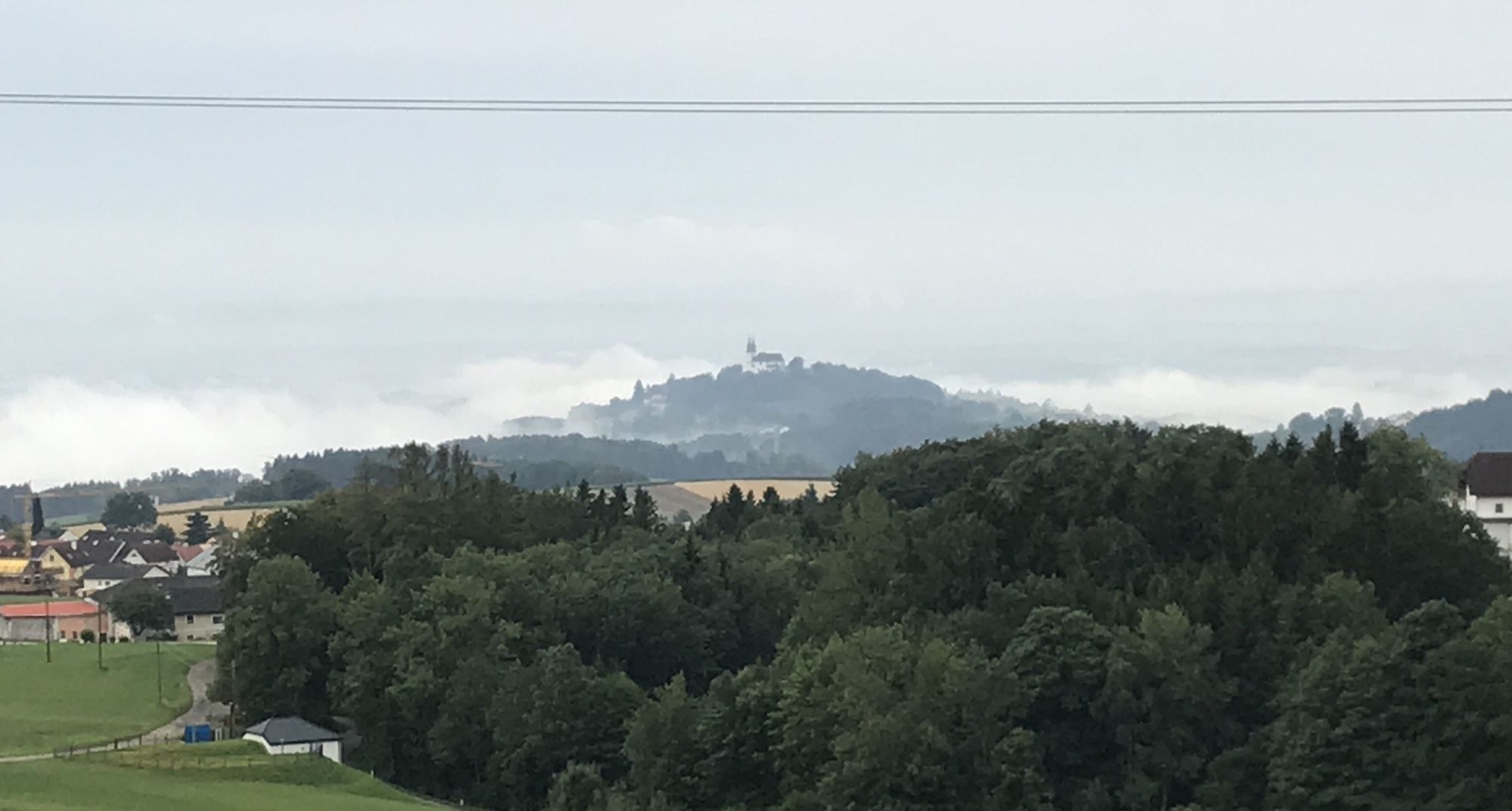
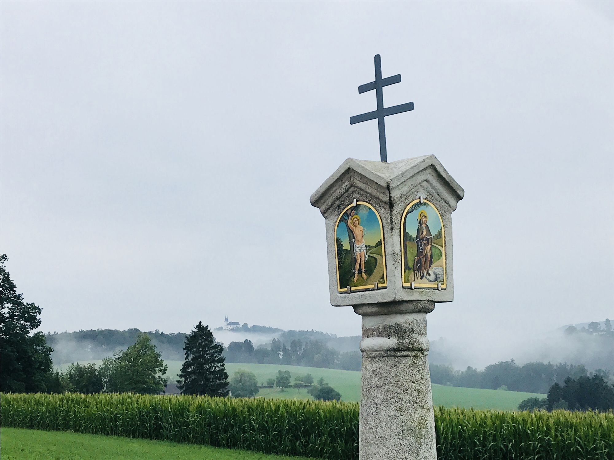
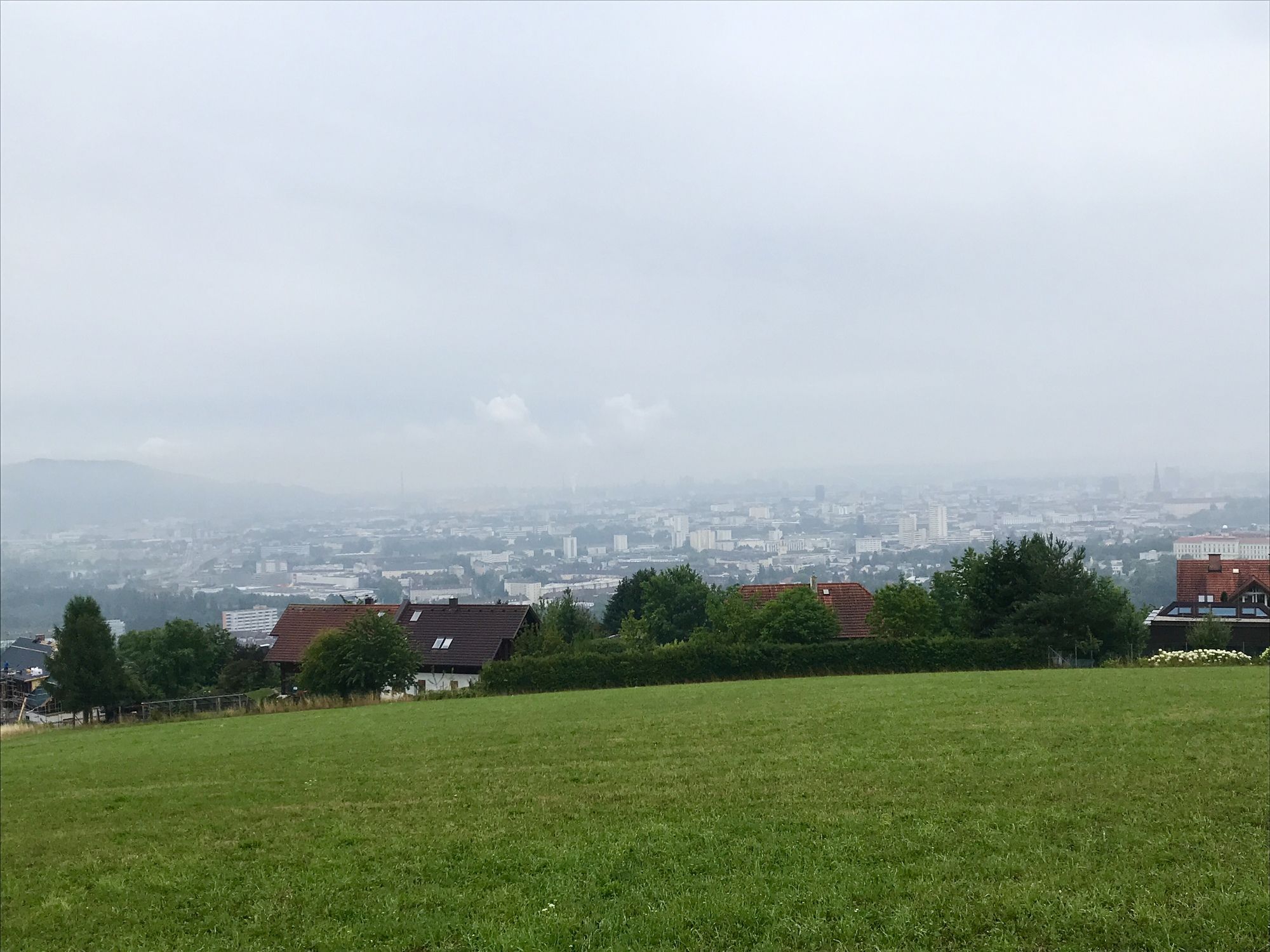
Top of Linz – Pöstlingberg
- Difficoltà
-
facile
- Valutazione
-
- Percorso
-
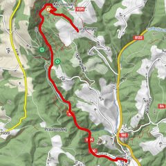
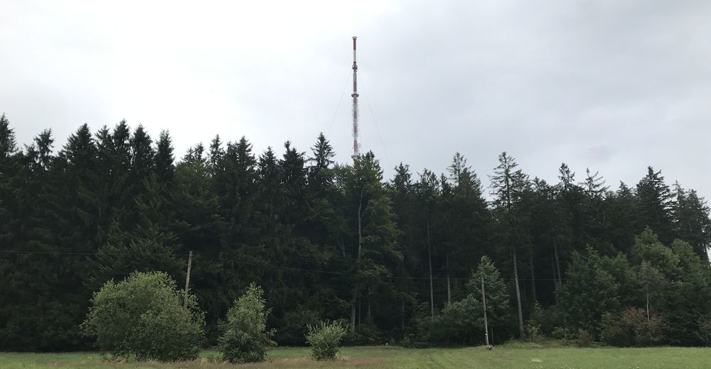
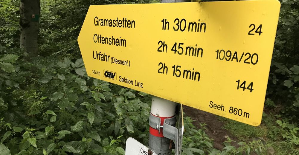
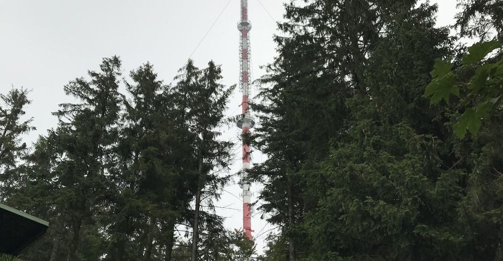
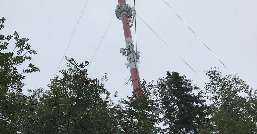
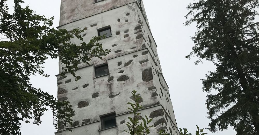
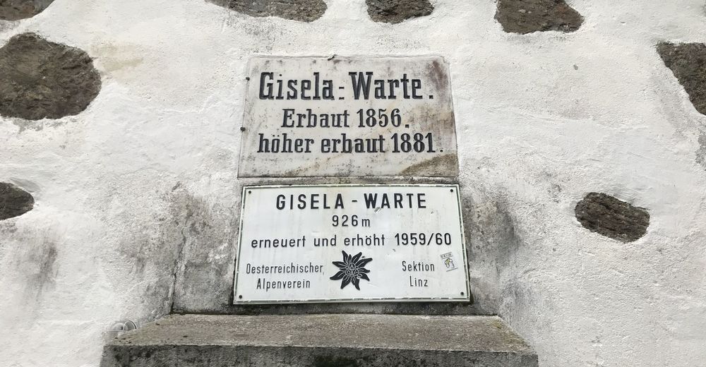
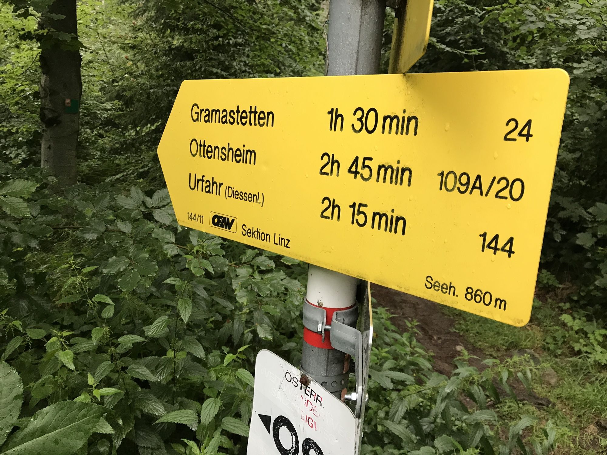
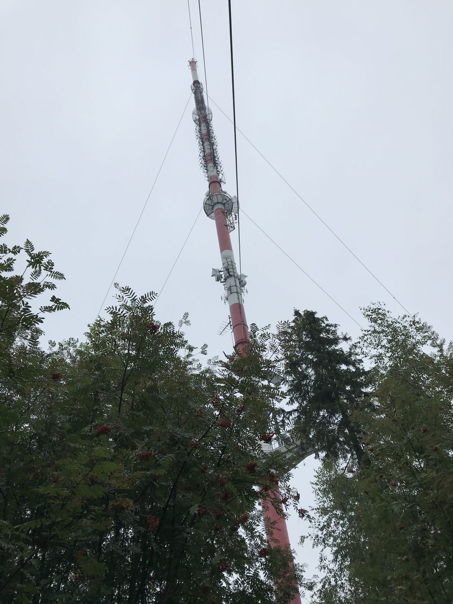
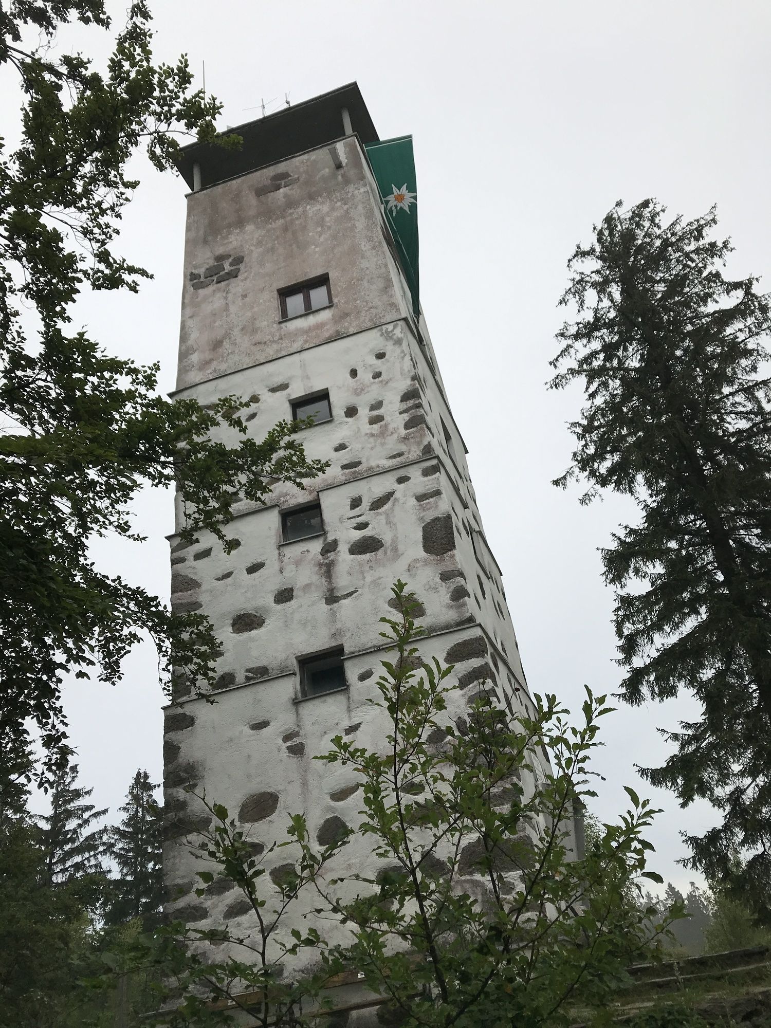
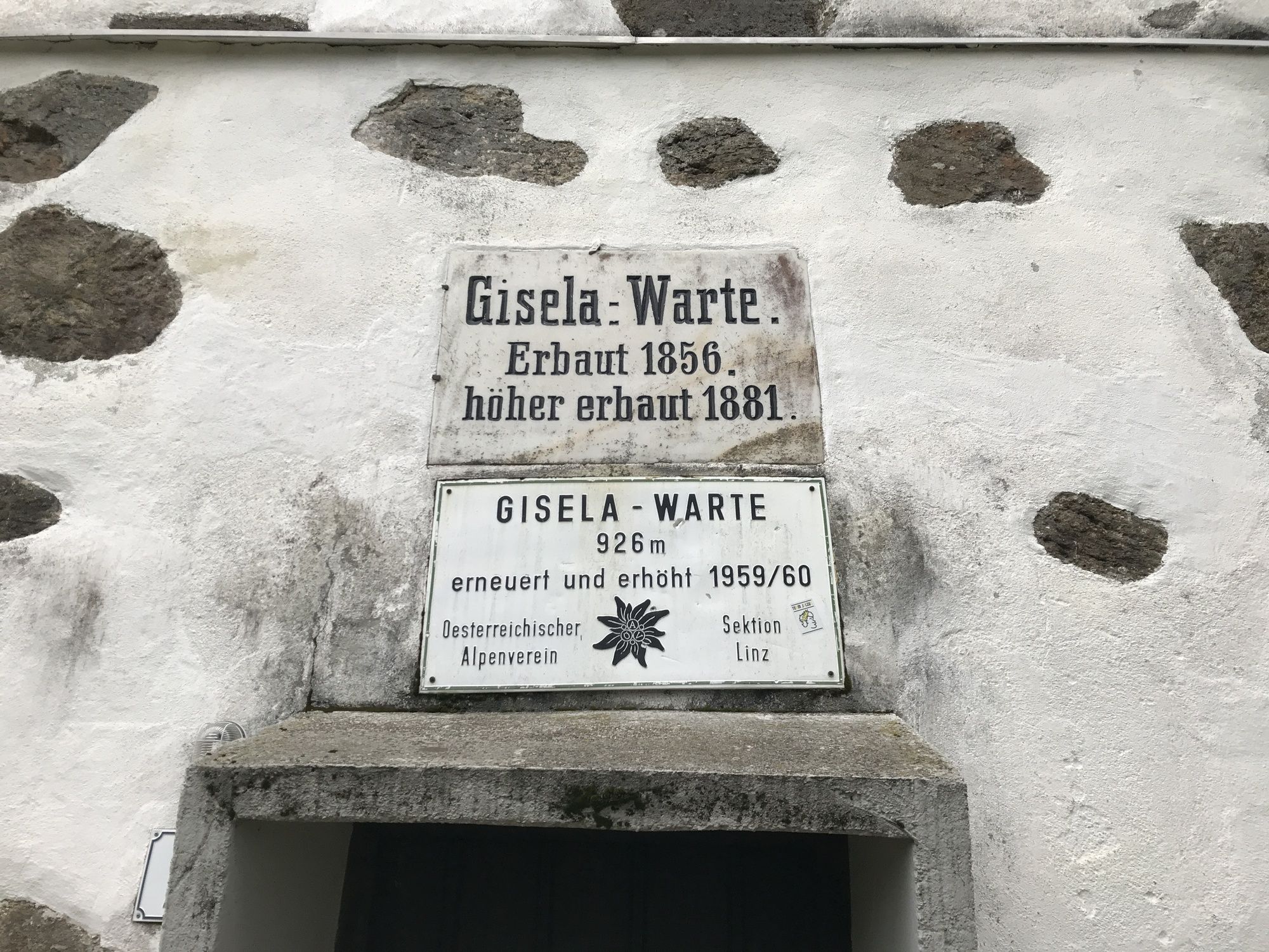
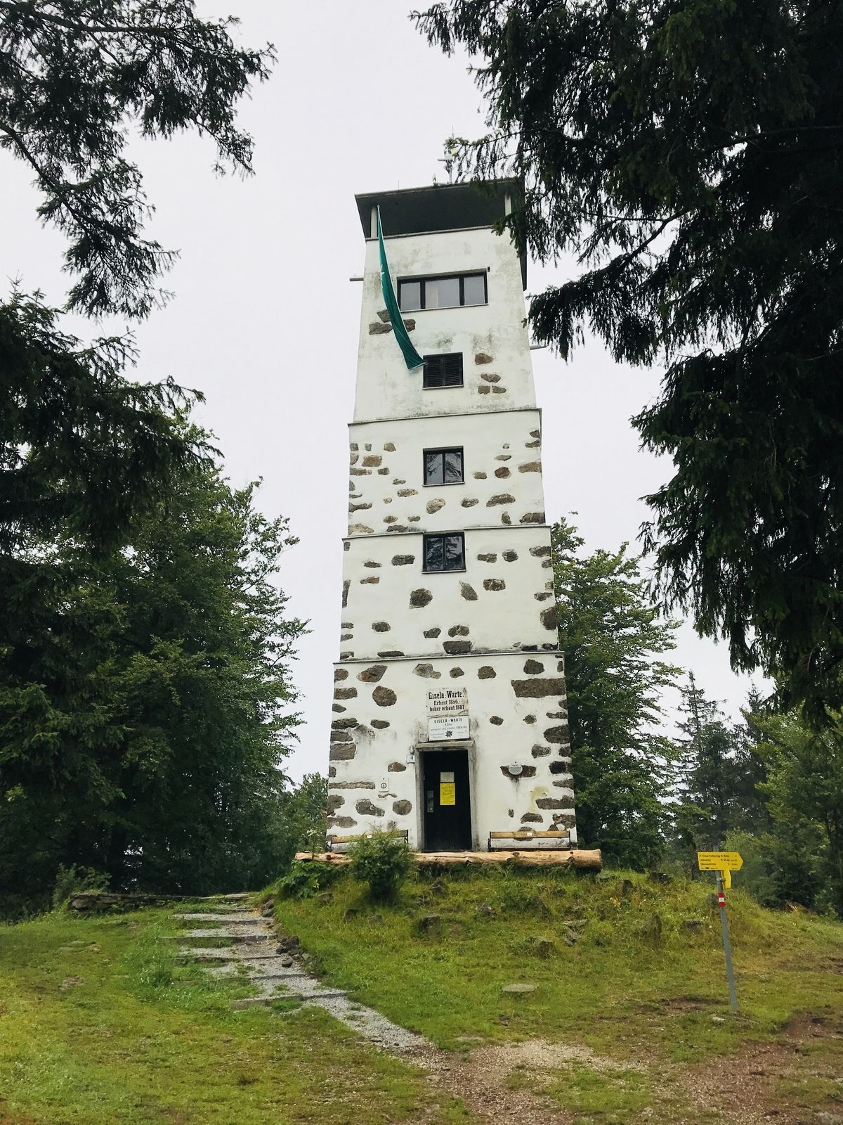
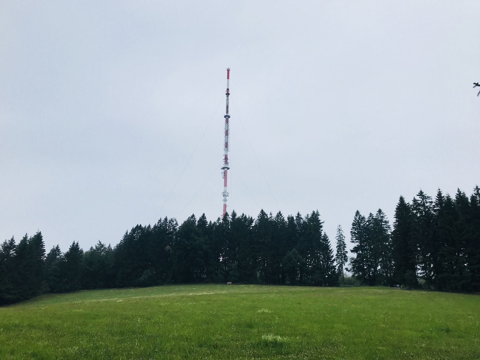
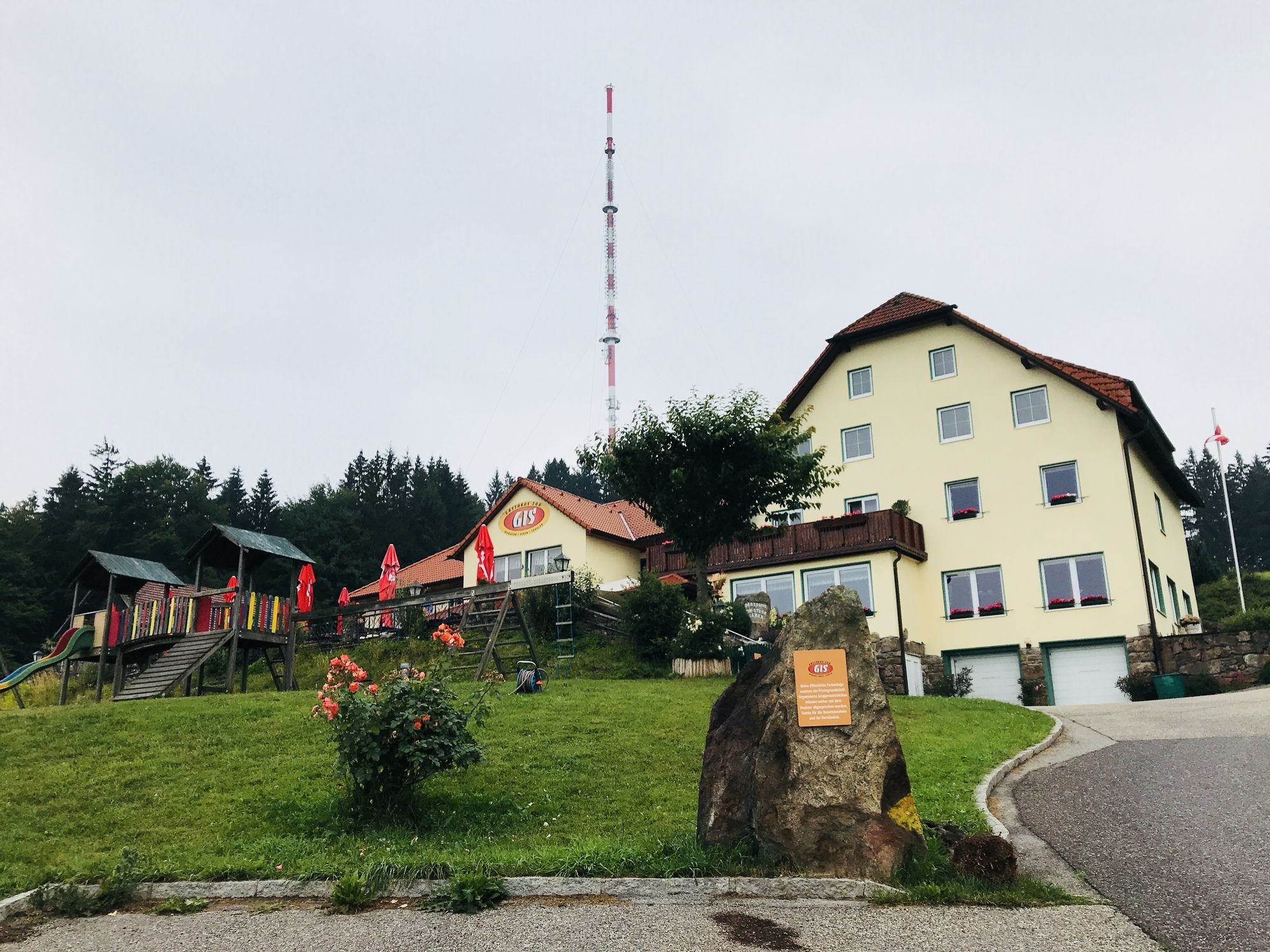
Nikolaikapelle0,1 kmAlt-Urfahr0,2 kmLinz (266 m)0,2 kmPlayground - Pöstlingberg4,6 kmPöstlingberg4,7 kmPöstlingberg Schlössl4,8 kmPöstlingberg church5,0 kmPöstlingberg (539 m)5,0 kmUrfahr7,5 kmHinsenkampplatz7,6 kmAlt-Urfahr8,1 km
- Punto più alto
- 518 m


GPS Downloads


Altri tour nelle regioni
-
Mühlviertel
1869
-
Linz & Region Linz
895
-
Linz
374