St. Martin i.M./Kleinzell i.M.: Der steinige Weg (“The Rocky Road”)

Escursionismo
© flickr.com, CC-BY-ND-2.0 - WGD Donau Oberösterreich Tourismus Gmbh
© WGD Donau Oberösterreich Tourismus GmbH/Weissenbrunner - Weissenbrunner

- Descrizione rapida
-
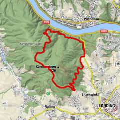
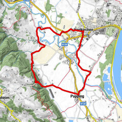
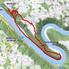
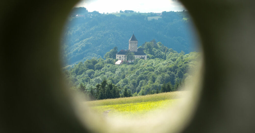
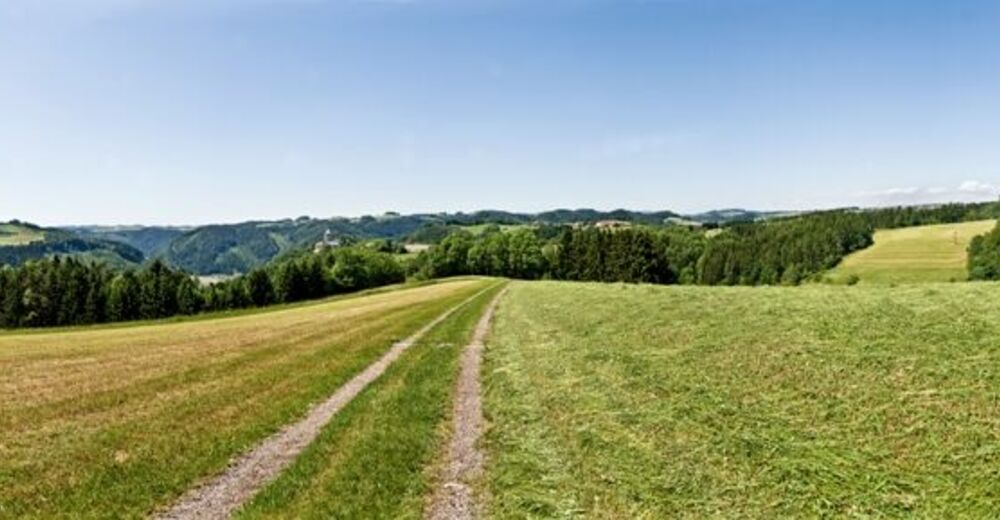
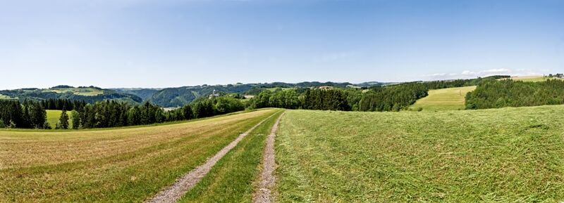
Partenstein power plant - Ebenmühle - Kleinzell – Resilacke natural swimming bath - Granite World of Experience - Neuhaus Castle - Untermühl
- Difficoltà
-
intermedio
- Valutazione
-
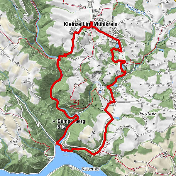
- Percorso
-
Schiffsanlegestelle Untermühl0,0 kmGasthof Ernst0,0 kmUntermühl0,2 kmWeigelsdorf5,0 kmPfarre Kleinzell5,5 kmKleinzell im Mühlkreis5,6 kmGasthof Scharinger5,9 kmSteining8,2 kmPlöcking10,0 kmGranitschenke10,4 kmNeuhaus an der Donau11,9 kmSchiffsanlegestelle Untermühl13,0 kmGasthof Ernst13,0 kmUntermühl13,0 km
- La stagione migliore
-
genfebmaraprmaggiulugagosetottnovdic
- Punto più alto
- 550 m
- Destinazione
-
Untermühl in der Gemeinde St. Martin
- Profilo altimetrico
-


- Autore
-
Il tour St. Martin i.M./Kleinzell i.M.: Der steinige Weg (“The Rocky Road”) è utilizzato da outdooractive.com fornito.
GPS Downloads


Info generali
Punto di ristoro
Culturale/Storico
Suggerimento
Promettente
Altri tour nelle regioni
-
Mühlviertel
1781
-
Donau Oberösterreich
775
-
Kleinzell im Mühlkreis
195