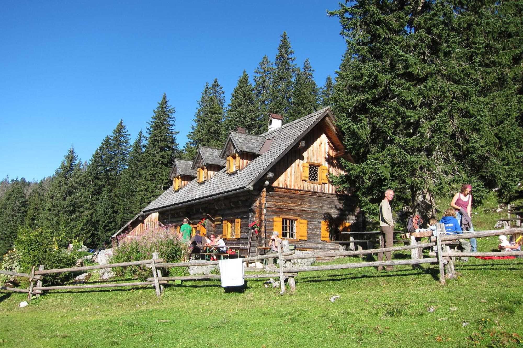
Hoher Nock ab Ramsau (Hopfing, Molln) über die Feichtaualm

Escursionismo


© Alpenverein Linz - Emanuel Reisinger

© Alpenverein Linz - Emanuel Reisinger

© Nationalpark Kalkalpen - <a href="http://www.kalkalpen.at">Nationalpark Kalkalpen</a>

- Descrizione rapida
-
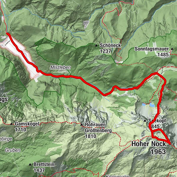
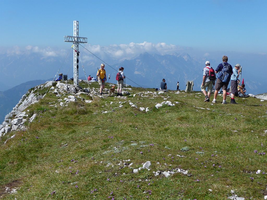
Mit einer Höhe von 1963 m ist der Hohe Nock der höchste Berg im Nationalpark Kalkalpen.
- Difficoltà
-
difficile
- Valutazione
-
- Percorso
-
Haltersitz6,6 kmHoher Nock (1.963 m)8,4 kmHaltersitz10,1 km
- La stagione migliore
-
genfebmaraprmaggiulugagosetottnovdic
- Punto più alto
- 1.955 m
- Destinazione
-
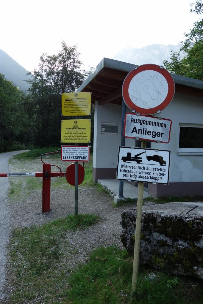
Parkplatz TPÜ Ramsau, 4591 Molln
- Profilo altimetrico
-


- Autore
-
Il tour Hoher Nock ab Ramsau (Hopfing, Molln) über die Feichtaualm è utilizzato da outdooractive.com fornito.
GPS Downloads


Altri tour nelle regioni
-
Traunviertel
1940
-
Urlaubsregion Pyhrn - Priel
1440
-
Windischgarsten
439


