Gamsstein über Gschwendtalm (Brunnbach, Großraming)

Escursionismo


- Descrizione rapida
-
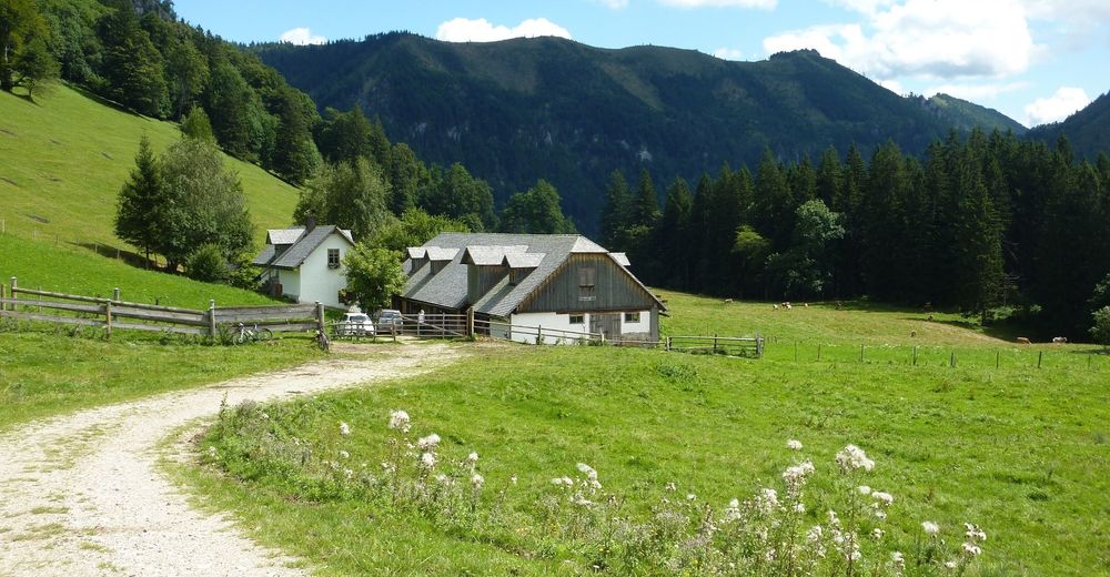
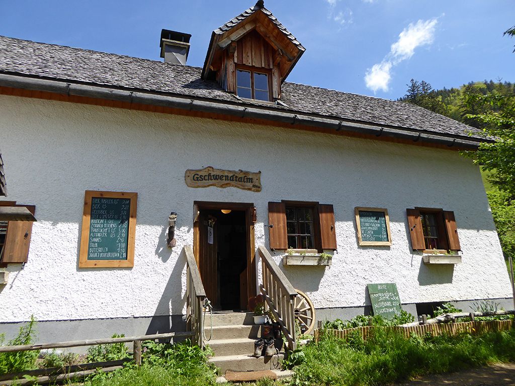
Wanderung auf die bewirtschaftete Gschwendtalm und deren aussichtsreichen "Hausberg" - dem Gamsstein. Für die Wanderung hin und retour berechnen Sie ca. 3 Stunden Gehzeit.
- Difficoltà
-
intermedio
- Valutazione
-
- Percorso
-
Gschwendtalm2,0 kmGamsstein (1.275 m)3,5 km
- La stagione migliore
-
genfebmaraprmaggiulugagosetottnovdic
- Punto più alto
- 1.255 m
- Destinazione
-
Parkplatz Gschwendtalm, 4463 Brunnbach / Großraming
- Profilo altimetrico
-


- Autore
-
Il tour Gamsstein über Gschwendtalm (Brunnbach, Großraming) è utilizzato da outdooractive.com fornito.
GPS Downloads


Info generali
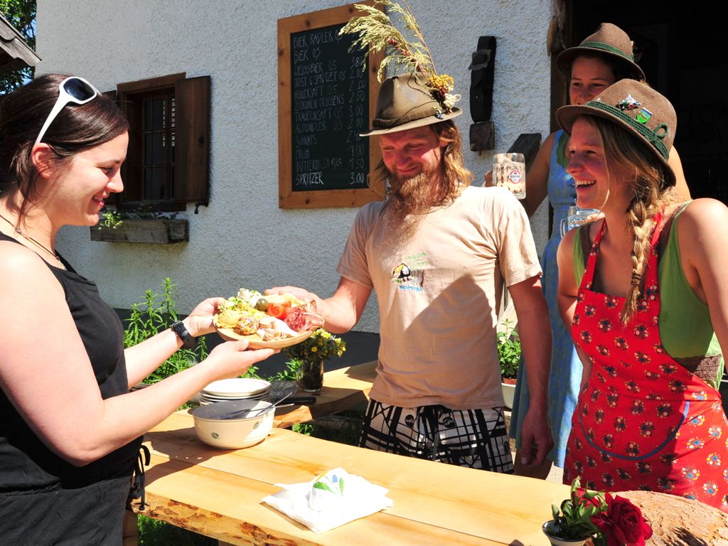
Punto di ristoro
Promettente
Altri tour nelle regioni
-
Traunviertel
1964
-
Steyr und die Nationalpark Region
1369
-
Großraming
334


