© Tourismusverband Steyr Nationalpark Region - Renate Schweighuber

© Tourismusverband Steyr Nationalpark Region - Renate Schweighuber

© Tourismusverband Steyr Nationalpark Region - Renate Schweighuber

© Tourismusverband Steyr Nationalpark Region - Renate Schweighuber

© Tourismusverband Steyr Nationalpark Region - Renate Schweighuber

© Tourismusverband Steyr Nationalpark Region - Renate Schweighuber

- Descrizione rapida
-
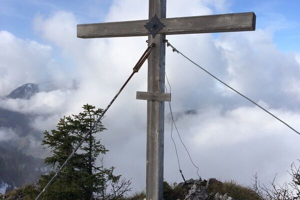
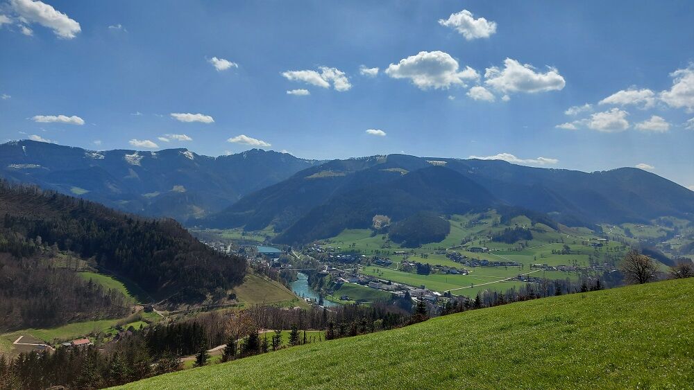
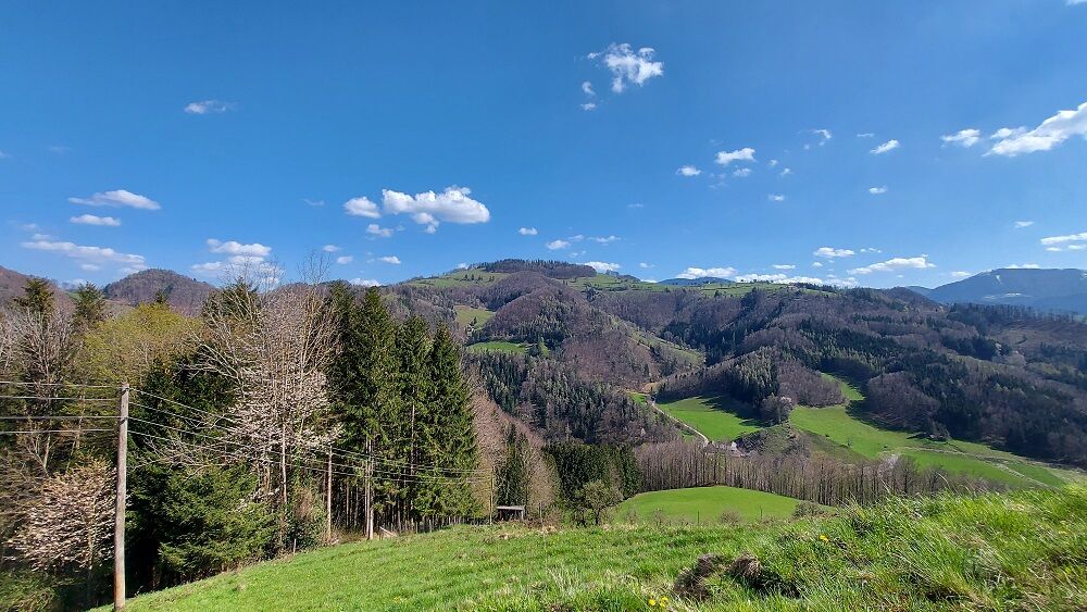
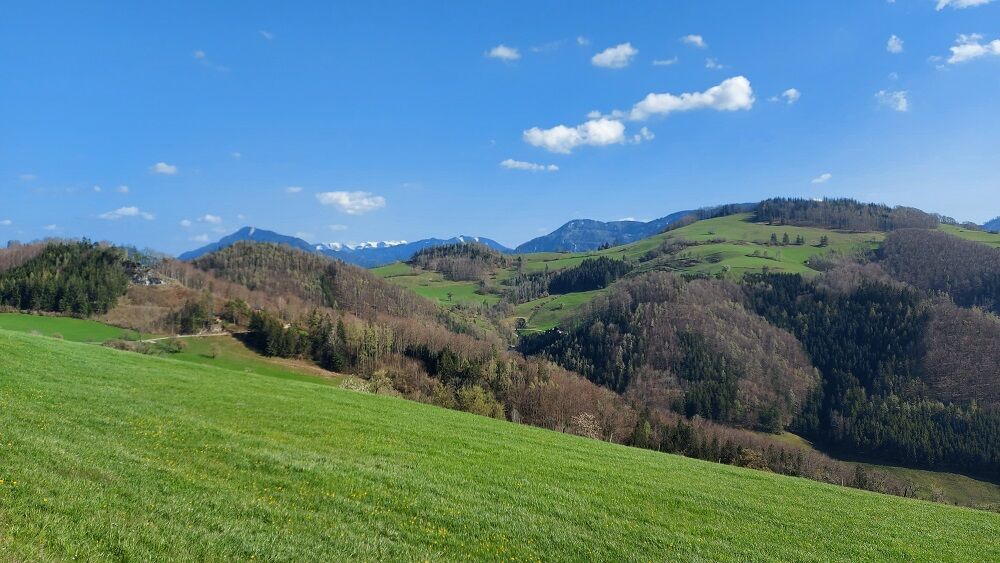
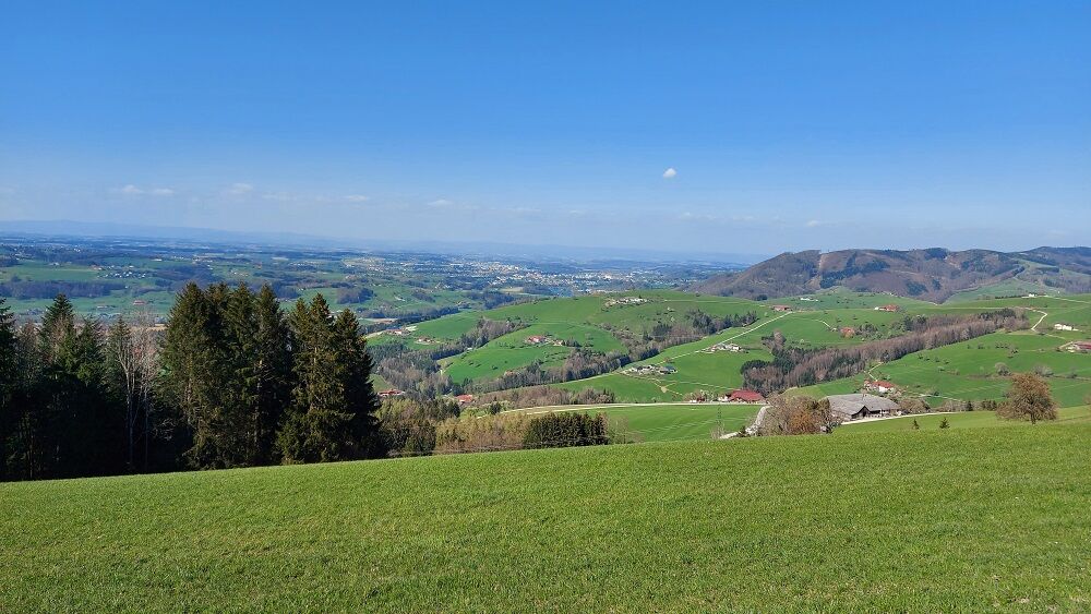
Hike to the Reitnerberg with a magnificent view into the foothills of the Alps as well as into the Upper Austrian lowlands up to the Mühlviertel mountains
- Difficoltà
-
facile
- Valutazione
-
- Percorso
-
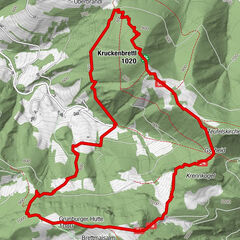
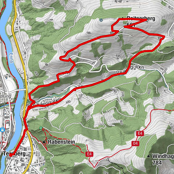
Pfarrkirche TernbergTernberg0,0 kmReitnerberg (667 m)3,6 kmTernberg8,1 kmPfarrkirche Ternberg8,2 km
- La stagione migliore
-
genfebmaraprmaggiulugagosetottnovdic
- Punto più alto
- 673 m
- Destinazione
-
Ternberg/center of the village
- Profilo altimetrico
-


- Autore
-
Il tour Reitnerberg Circular Trail è utilizzato da outdooractive.com fornito.
GPS Downloads


Info generali
Promettente
Altri tour nelle regioni
-
Traunviertel
1940
-
Steyr und die Nationalpark Region
1369
-
Ternberg
376