© Gemeinde Steyregg

© Gemeinde Steyregg


- Descrizione rapida
-
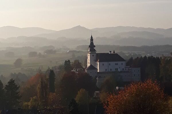
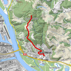
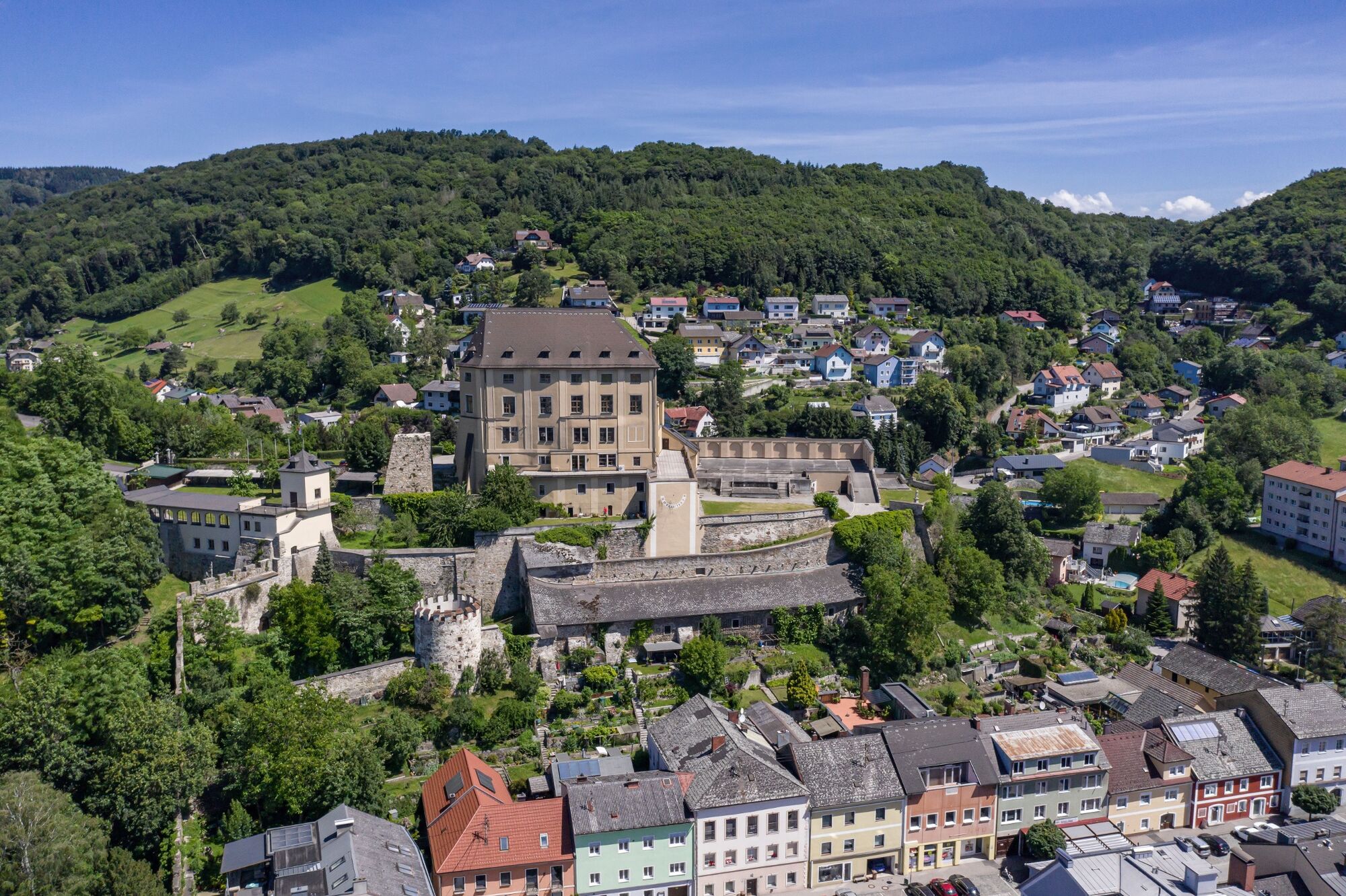
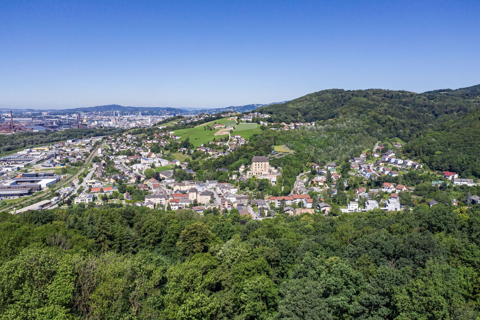
The Pfenningberg-Summit hiking trail leadsfrom Steyregg Park via Kirchengasse Alley, mountain settlement, former TV station, Alpine Association Trail No. 50 and the last steep climb up to the summit of Pfenningberg at 616 m.
- Difficoltà
-
intermedio
- Valutazione
-
- Percorso
-
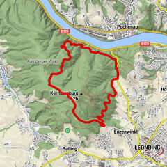
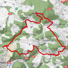
Steyregg (259 m)0,2 kmSankt Stefan0,6 kmPfenningberg (616 m)4,0 km
- La stagione migliore
-
genfebmaraprmaggiulugagosetottnovdic
- Punto più alto
- 611 m
- Destinazione
-
Bus stop Linzer Straße at the Stadtgarten / Kindergarten Pfenningberg summit (possibility of return 3 Buchen Weg)
- Profilo altimetrico
-

- Autore
-
Il tour Pfenningberg-Summit Hiking Trail è utilizzato da outdooractive.com fornito.
GPS Downloads


Altri tour nelle regioni
-
Mühlviertel
1785
-
Linz & Region Linz
847
-
Steyregg
316