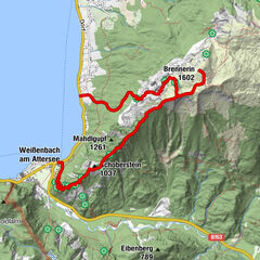
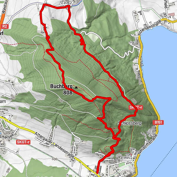
Dati percorsi
7,99km
489
- 791m
366hm
367hm
02:16h
- Descrizione rapida
-
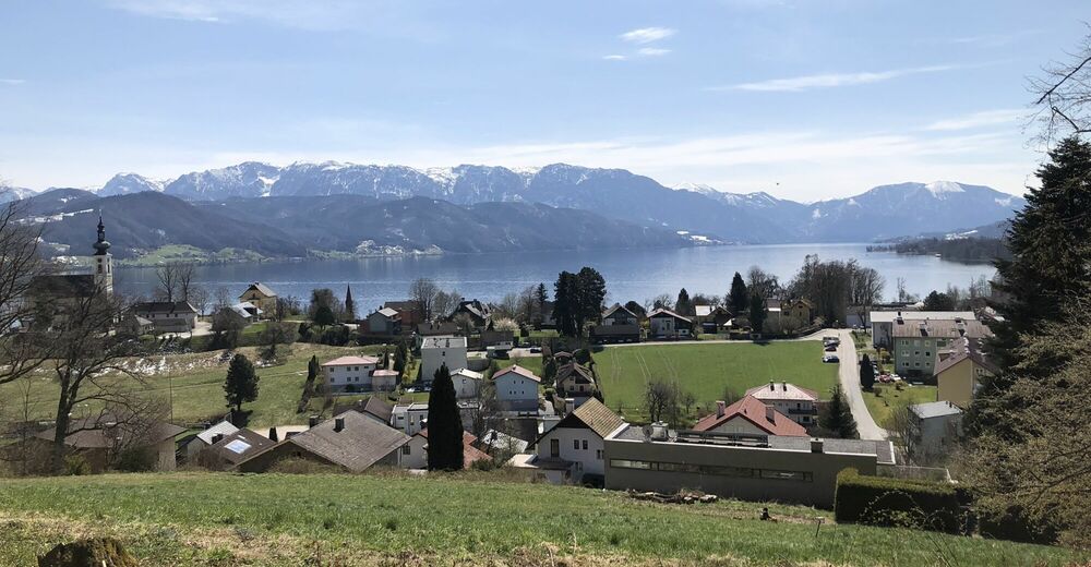
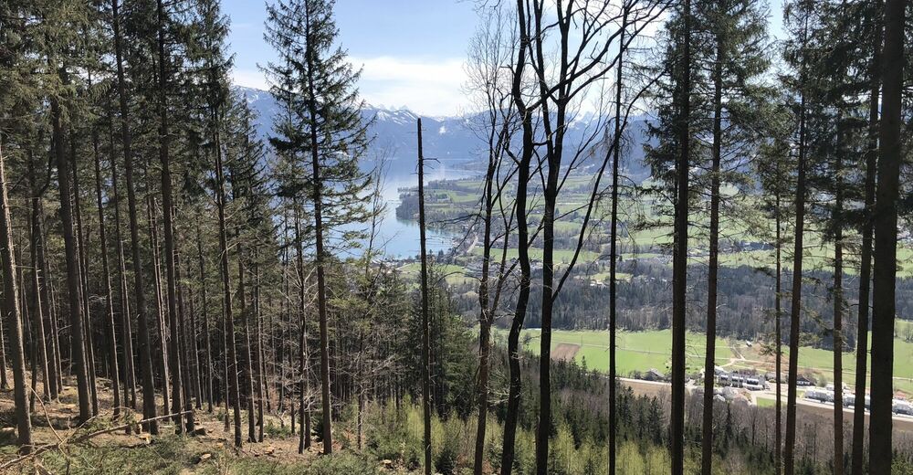
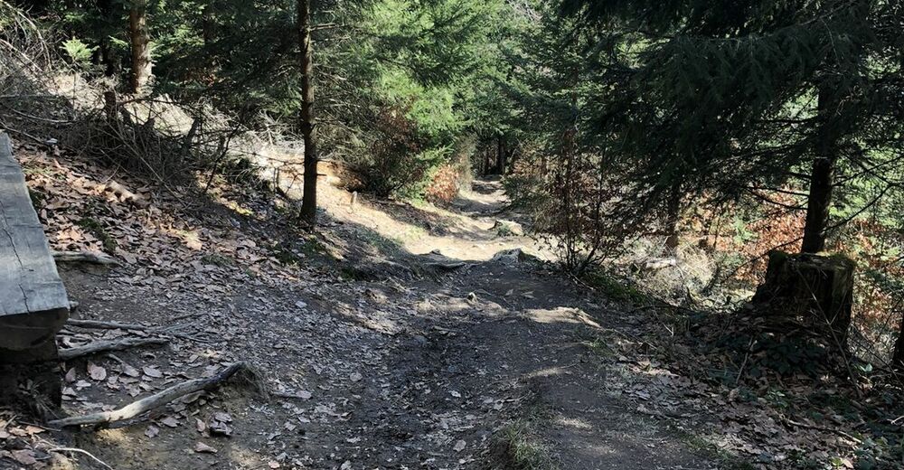
Etwas abgewandelte Buchbergrunde
- Difficoltà
-
facile
- Valutazione
-
- Percorso
-
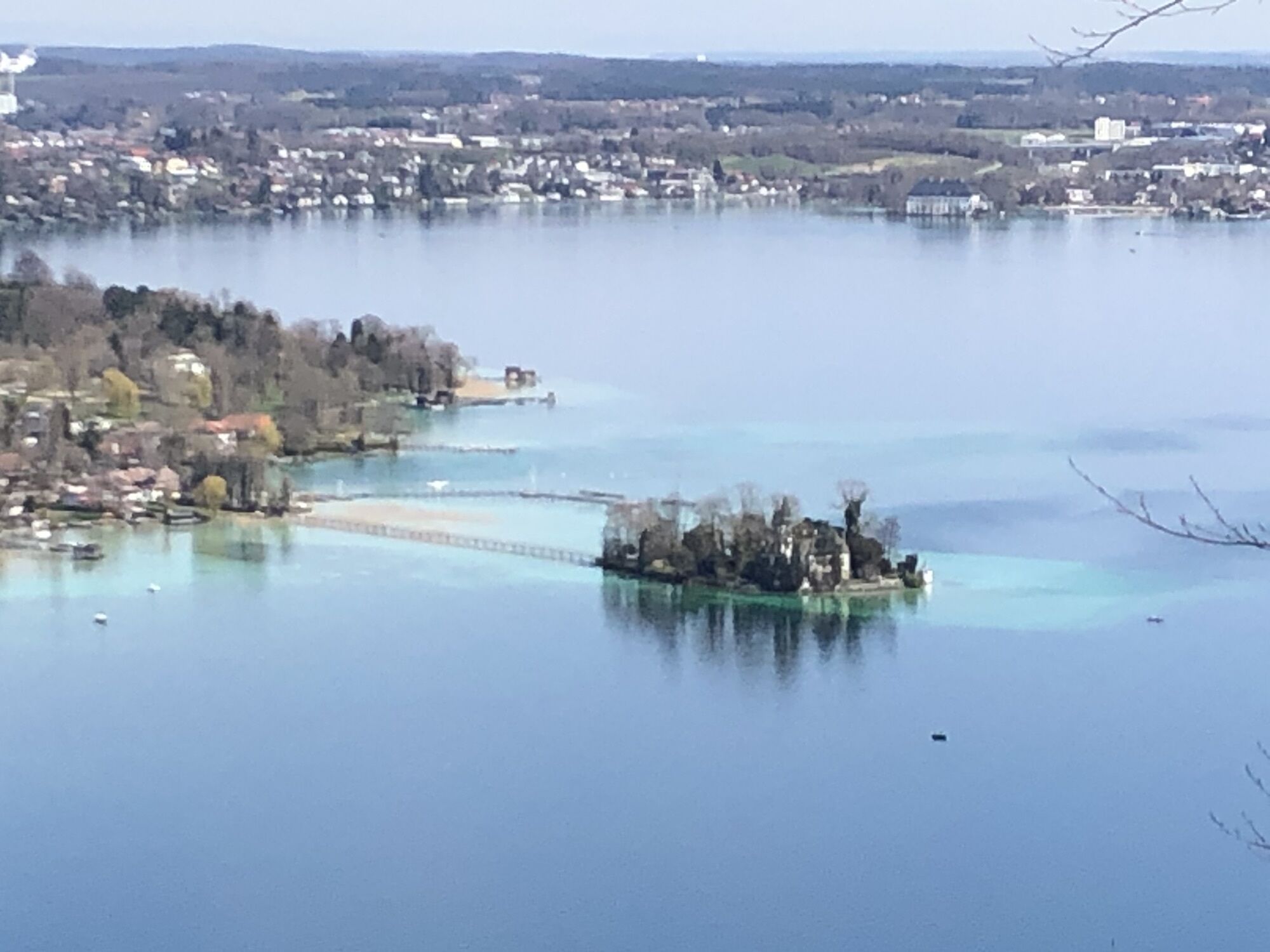
Attersee am AtterseeBuchberg (808 m)5,6 kmAttersee am Attersee7,9 km
- La stagione migliore
-
genfebmaraprmaggiulugagosetottnovdic
- Punto più alto
- 791 m


GPS Downloads


Altri tour nelle regioni