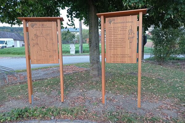
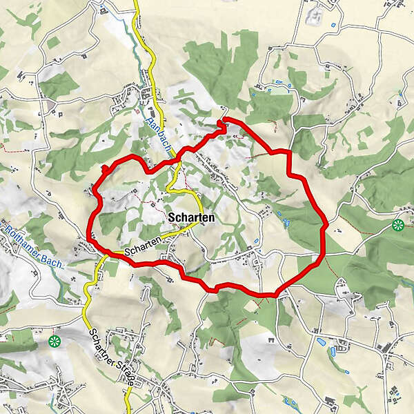
Dati percorsi
9,04km
303
- 441m
142hm
136hm
03:30h
- Difficoltà
-
facile
- Valutazione
-
- Percorso
-
Vitta1,4 kmKronberg3,3 kmGasthof Schartnerblick3,4 kmHochscharten4,2 kmWolfsgrub5,7 km
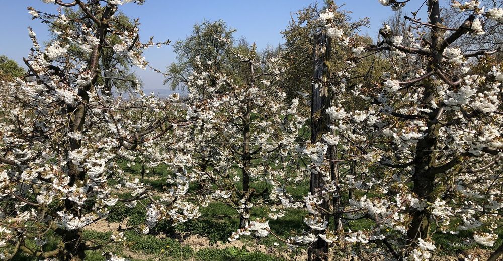
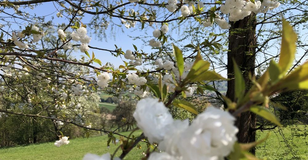
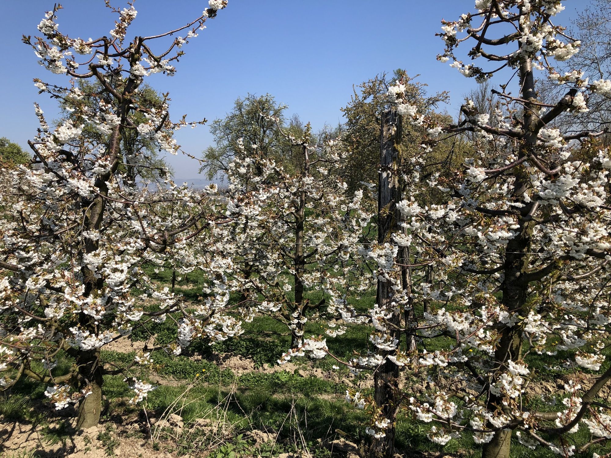
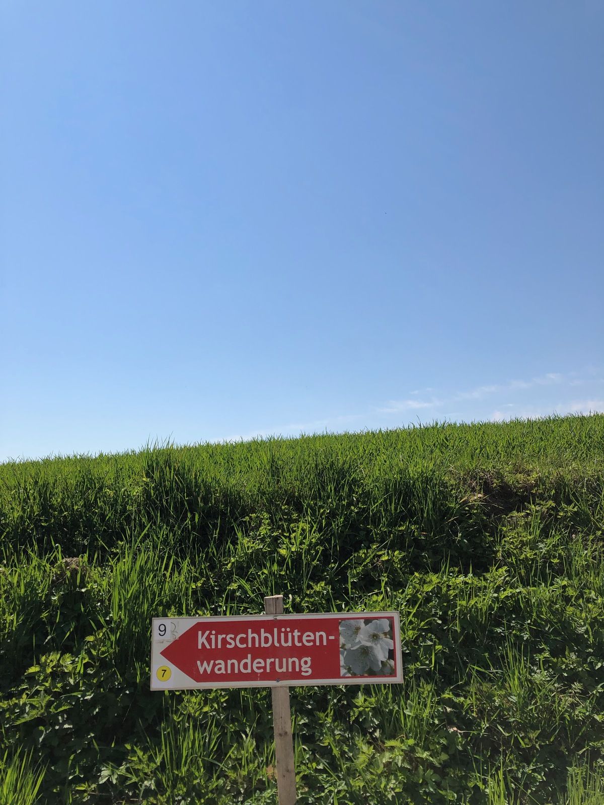
- La stagione migliore
-
genfebmaraprmaggiulugagosetottnovdic
- Punto più alto
- 441 m


- Fonte
- HerrFessor
GPS Downloads


Condizioni dei sentieri
Asfalto
Ghiaia
Prato
Foresta
Roccia
Esposta
Altri tour nelle regioni
-
Hausruckviertel
1483
-
Donau Oberösterreich
775
-
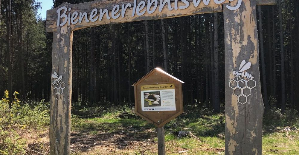
Scharten
102