

Dati percorsi
8,76km
554
- 1.356m
680hm
02:44h

- Descrizione rapida
-
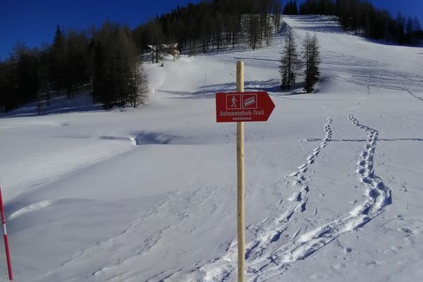
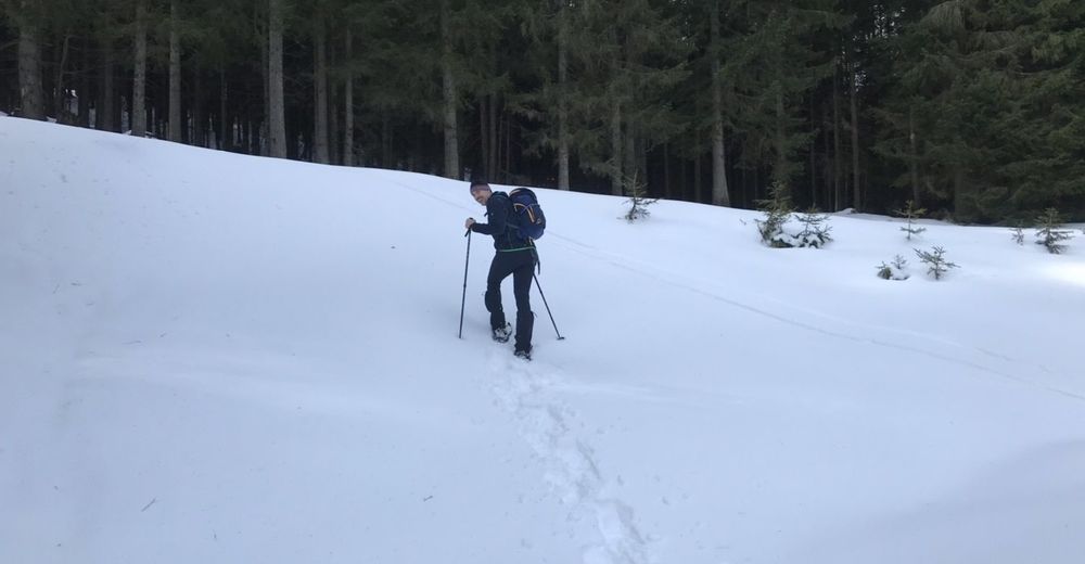
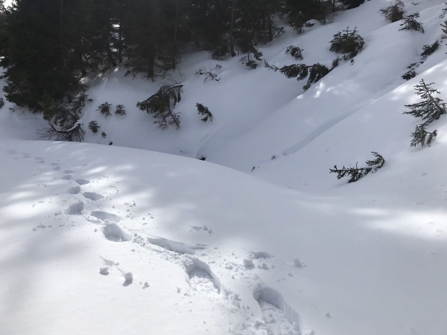
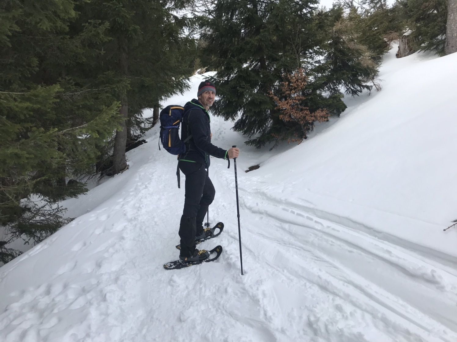
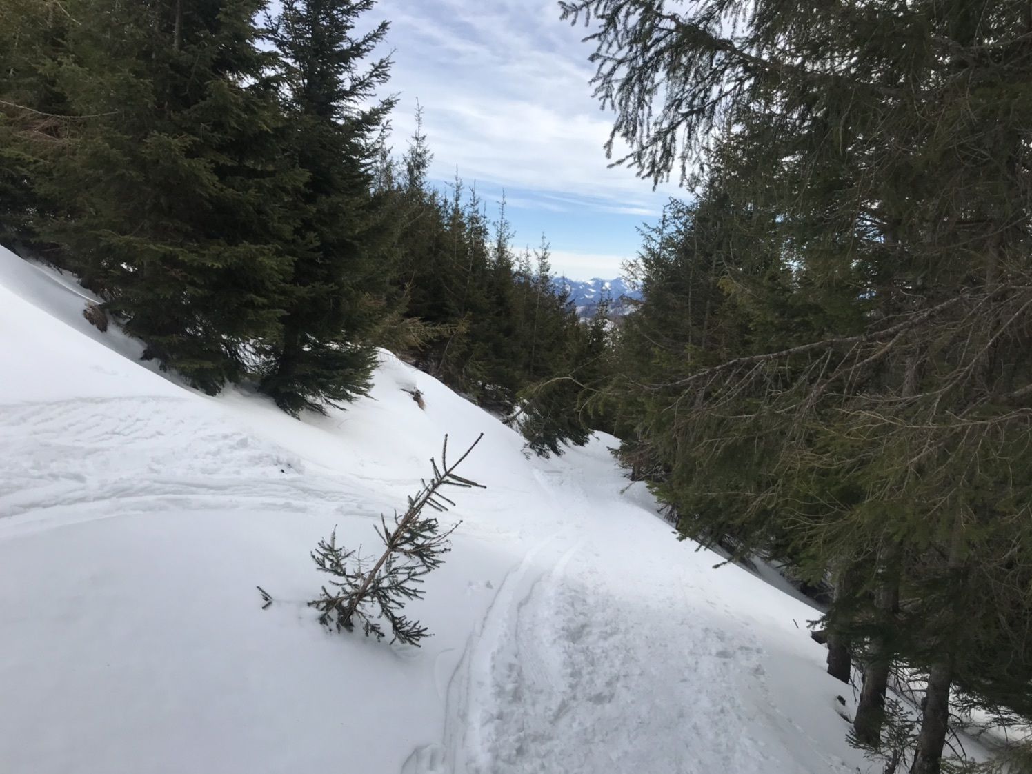
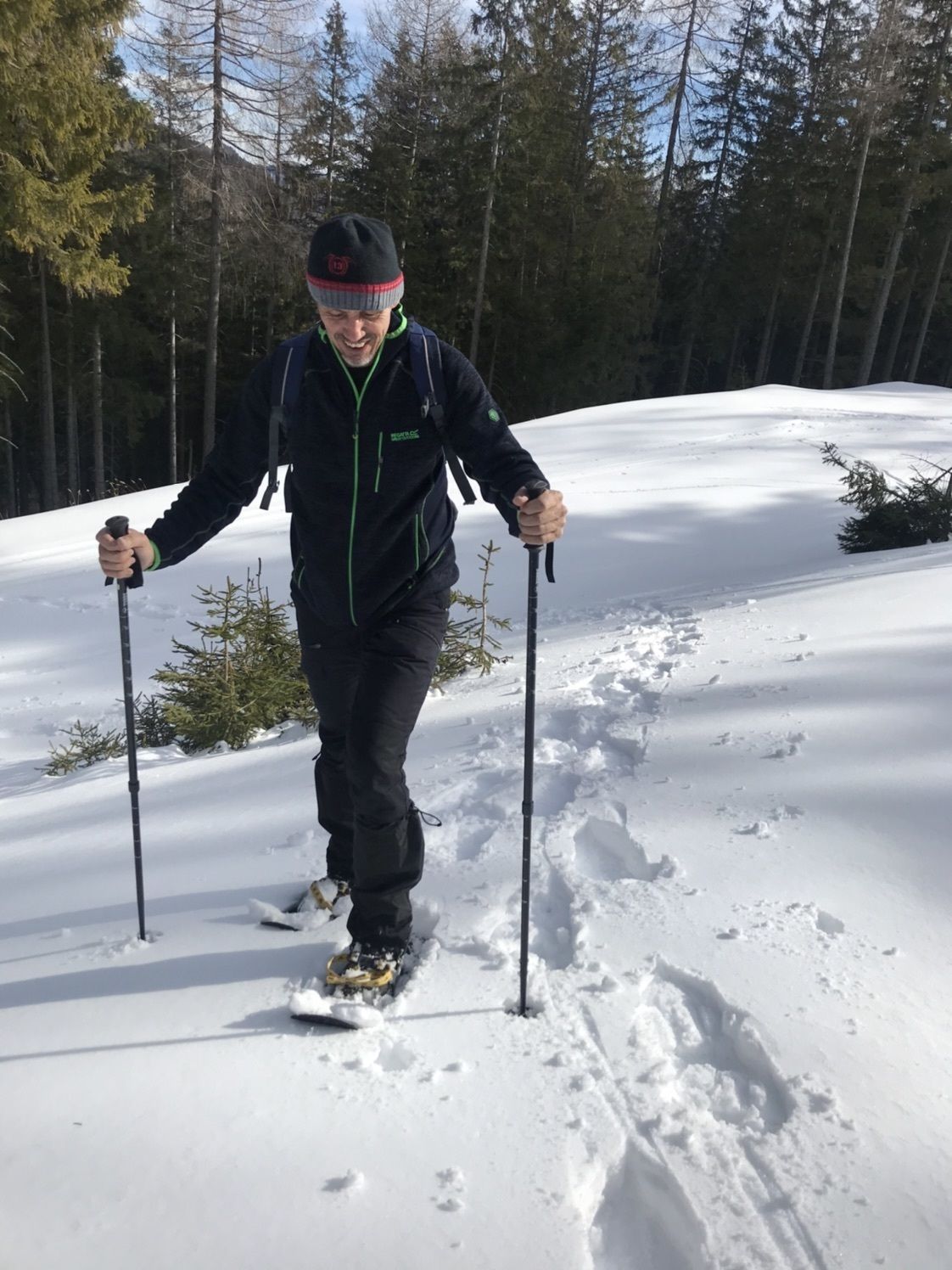
Über den Forstweg rauf und nicht über Katzengraben.
- Difficoltà
-
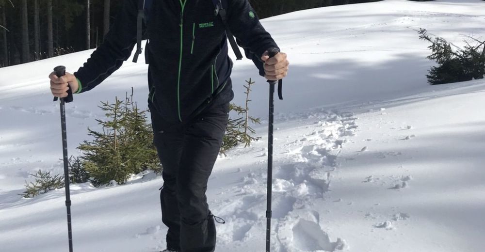
facile
- Valutazione
-
- Percorso
-
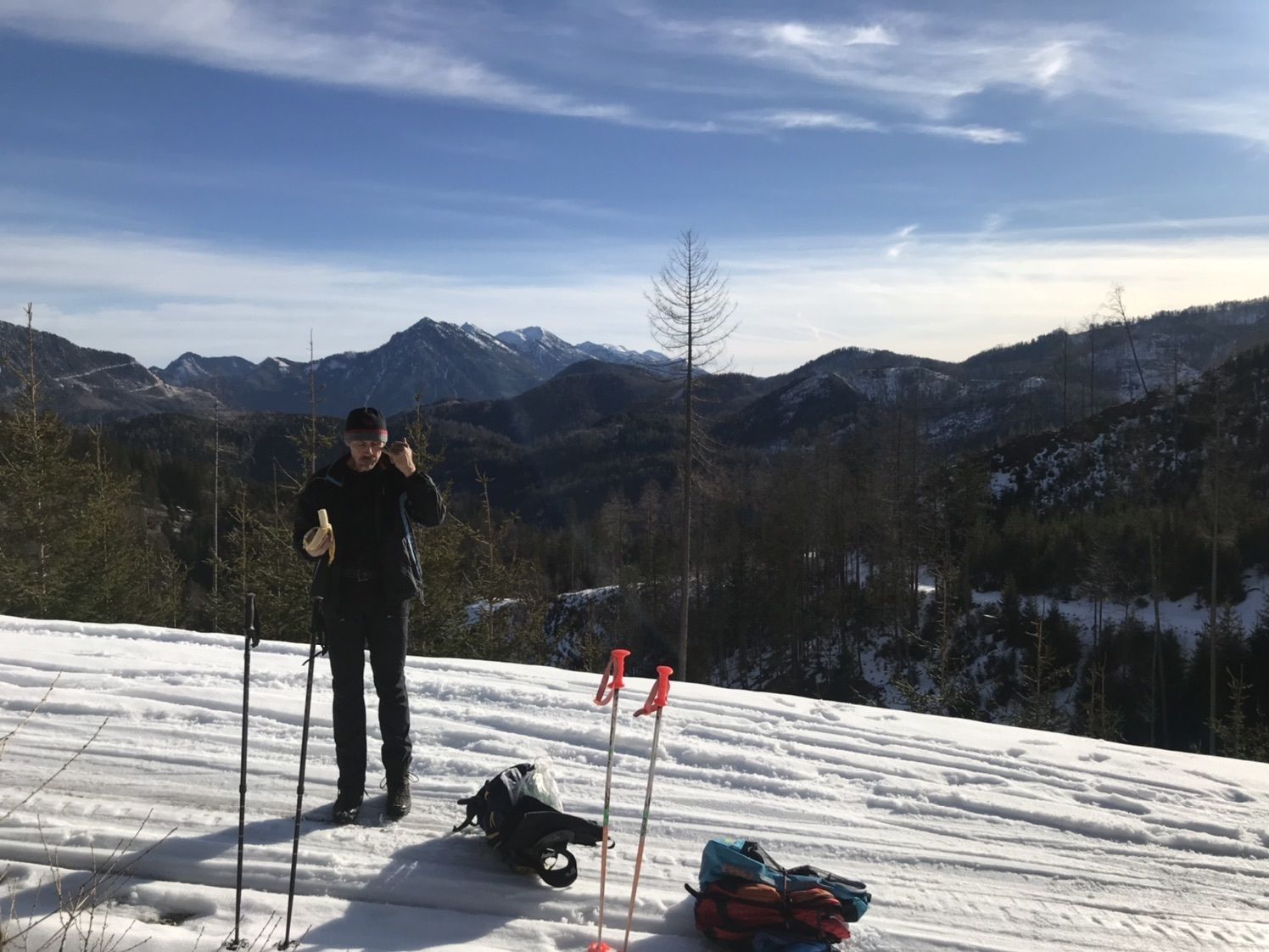
Brunnental0,1 kmSteyrer Hütte8,6 km
- Punto più alto
- 1.356 m


GPS Downloads


Altri tour nelle regioni