© Tourismusverband Steyr Nationalpark Region - Schweighuber

© Tourismusverband Steyr Nationalpark Region - Renate Schweighuber

© Tourismusverband Steyr Nationalpark Region - Renate Schweighuber

© Tourismusverband Steyr Nationalpark Region - Schweighuber

© Tourismusverband Steyr Nationalpark Region - Schweighuber

© Tourismusverband Steyr Nationalpark Region - Schweighuber

© Tourismusverband Steyr Nationalpark Region - Schweighuber

© Kurt Krifter

© Kurt Krifter

- Descrizione rapida
-
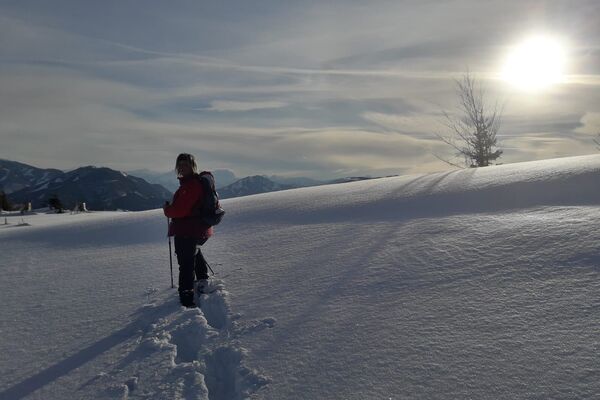
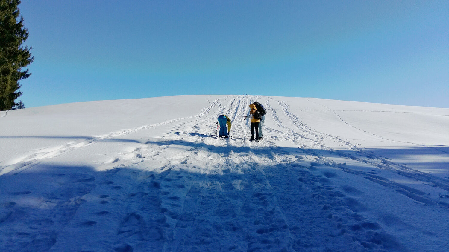
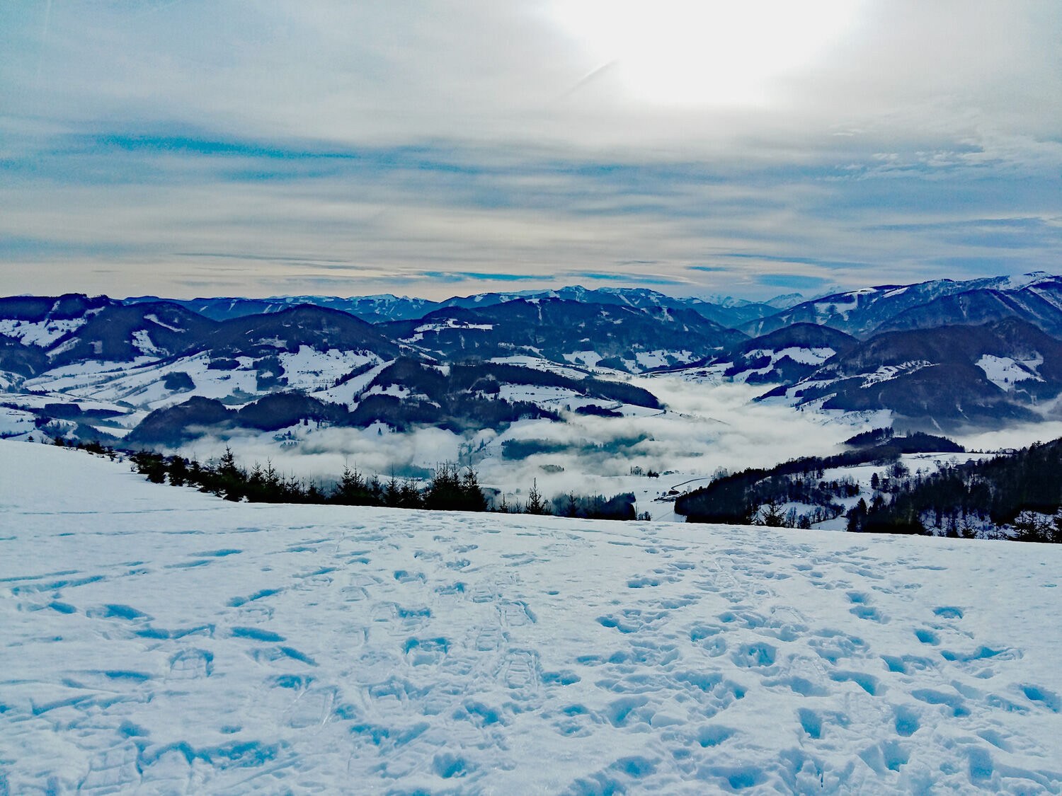
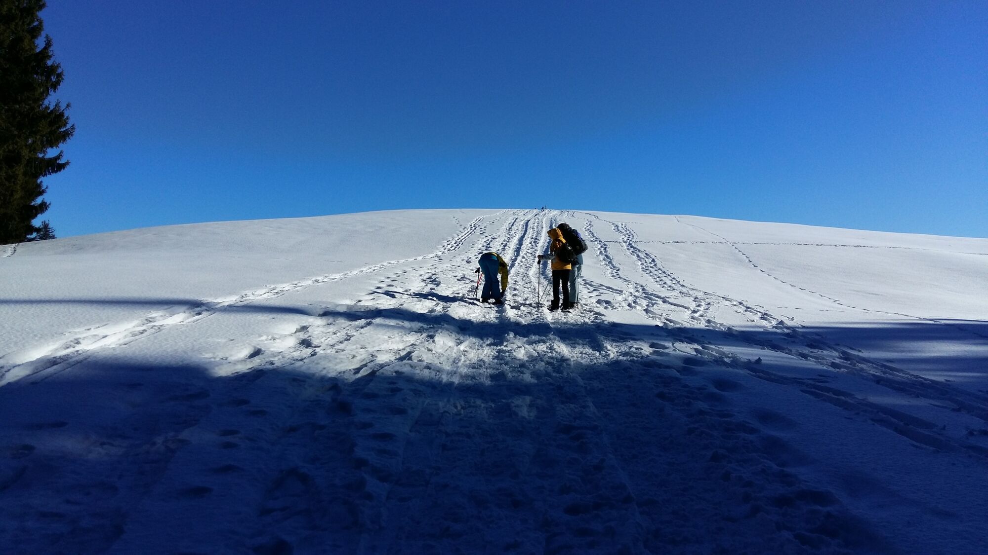
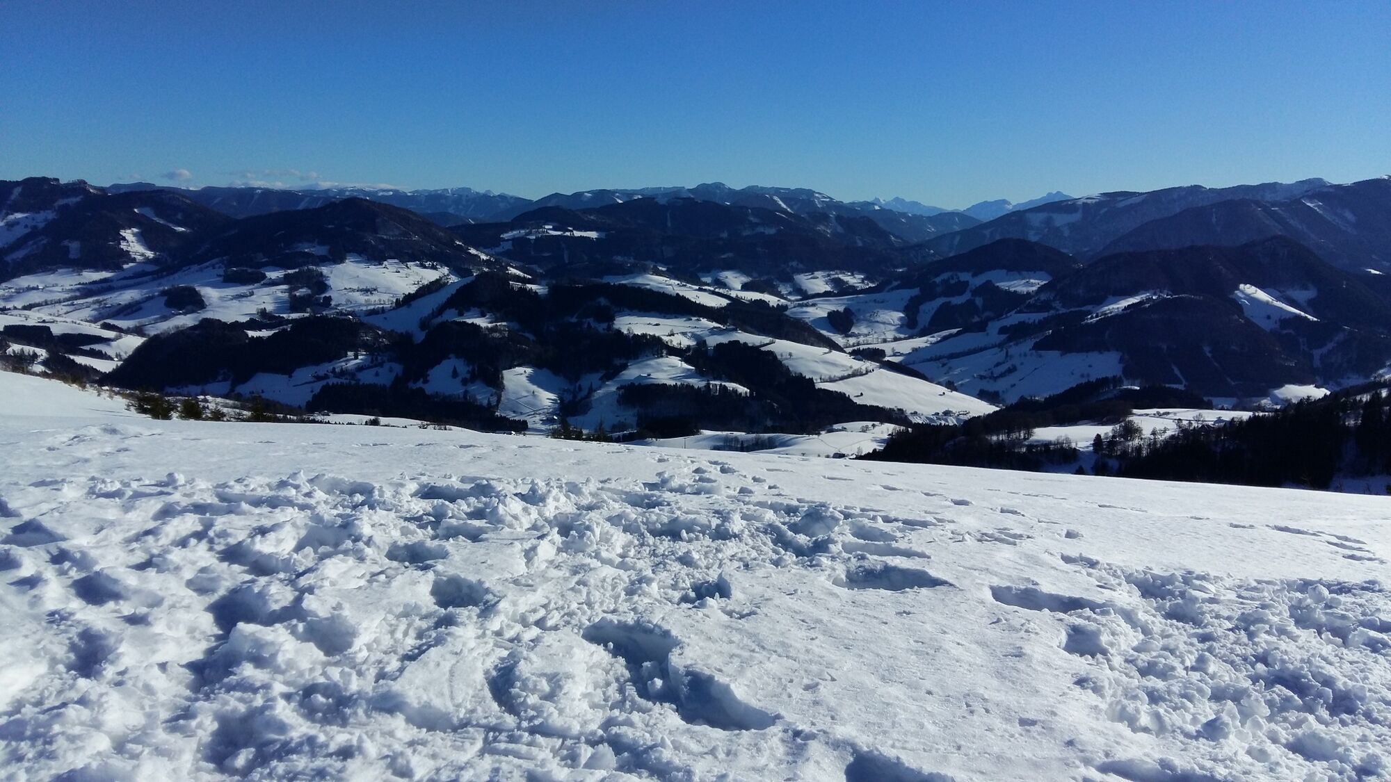
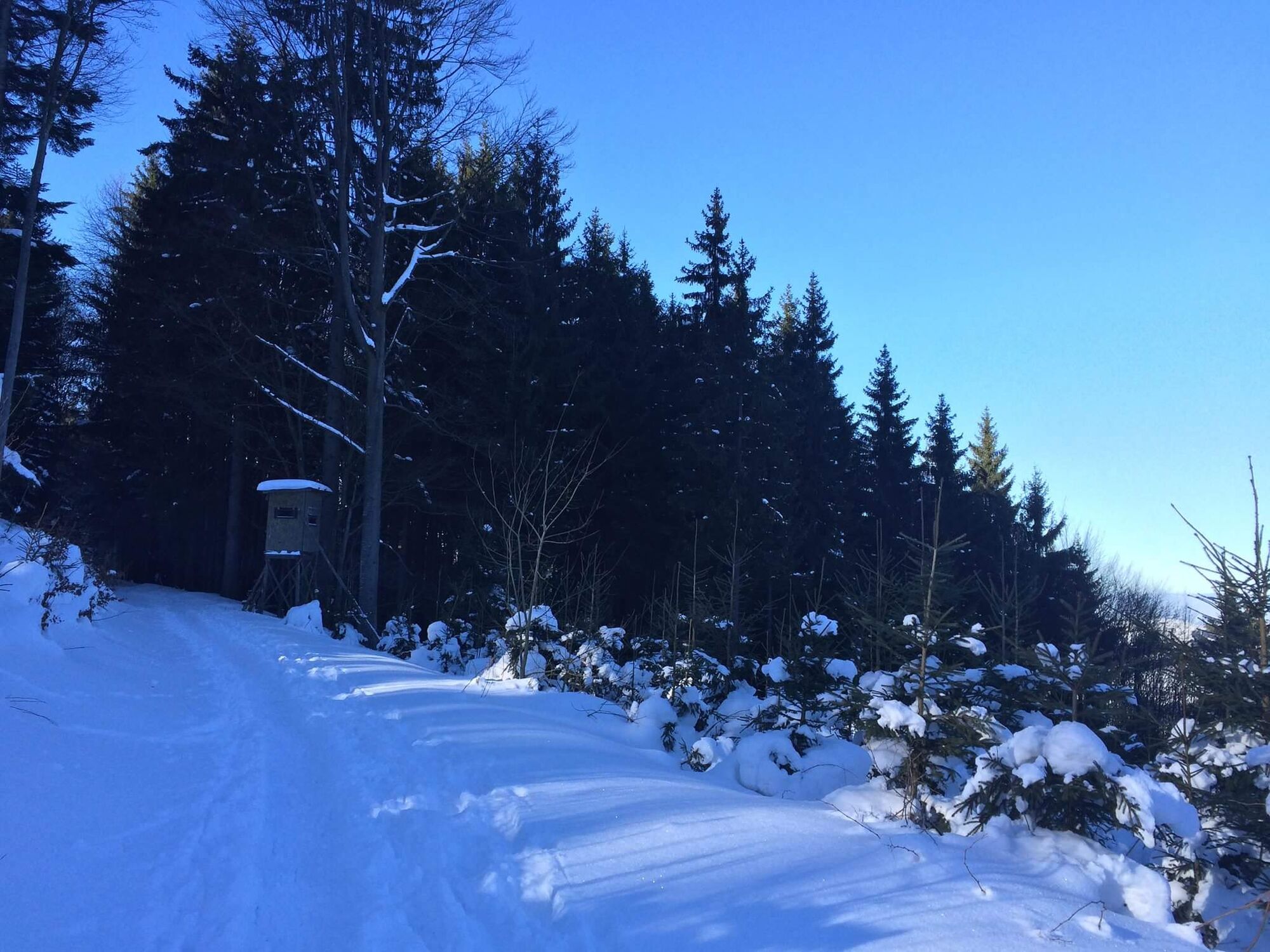
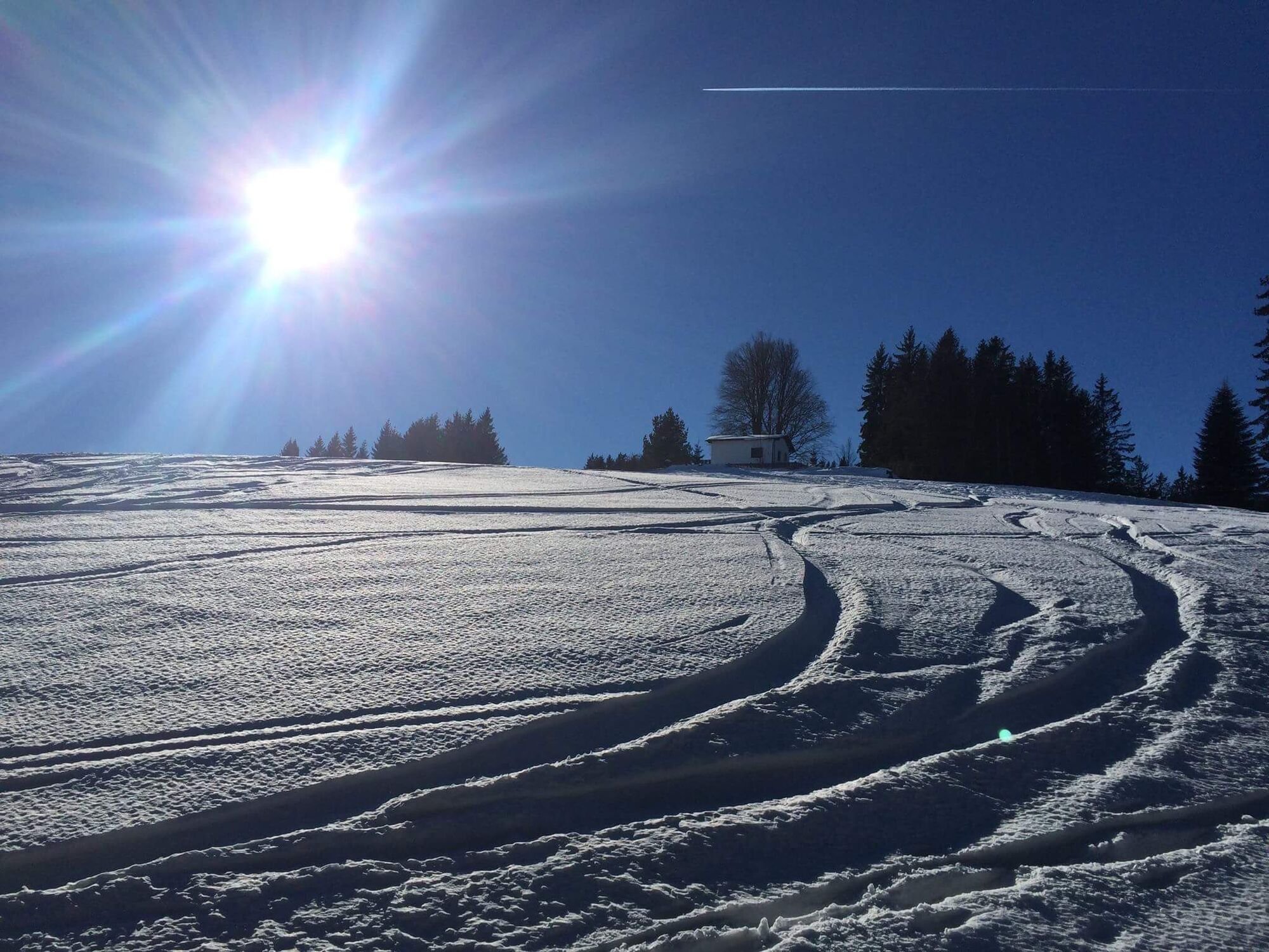
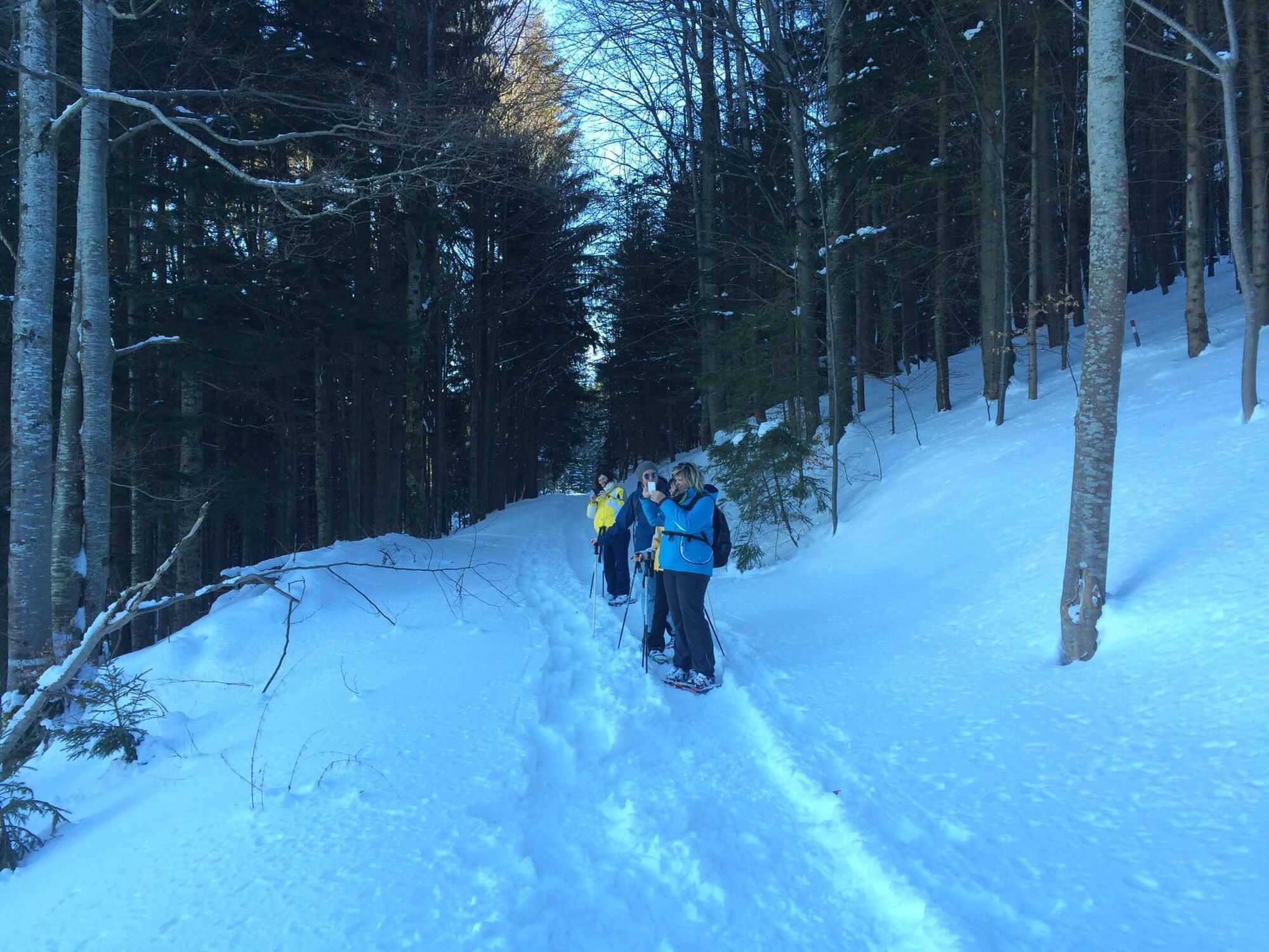
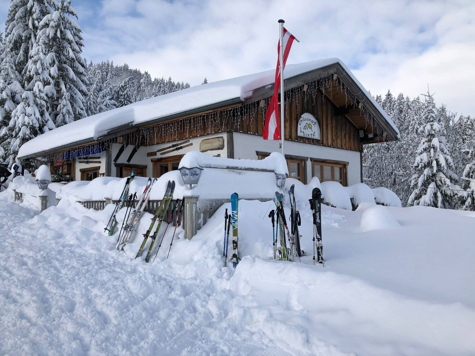
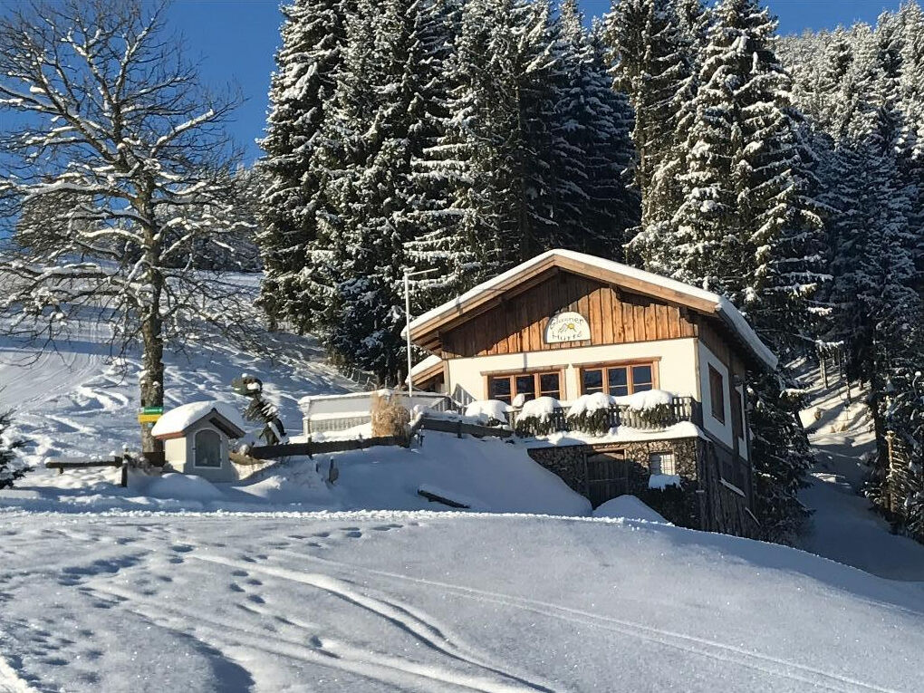
Circular hike and summit tour starting from the Glasner Hut
- Difficoltà
-
facile
- Valutazione
-
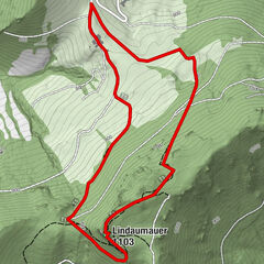
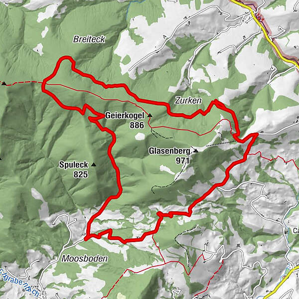
- Percorso
-
Glasnerhütte0,2 km
- La stagione migliore
-
agosetottnovdicgenfebmaraprmaggiulug
- Punto più alto
- 851 m
- Destinazione
-
Parking lot Glasenberg
- Profilo altimetrico
-

- Autore
-
Il tour Snowshoe tour Glasenberg è utilizzato da outdooractive.com fornito.
GPS Downloads


Info generali
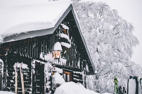
Punto di ristoro
Altri tour nelle regioni
-
Traunviertel
20
-
Moststraße
6
-
Maria Neustift
5