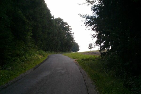
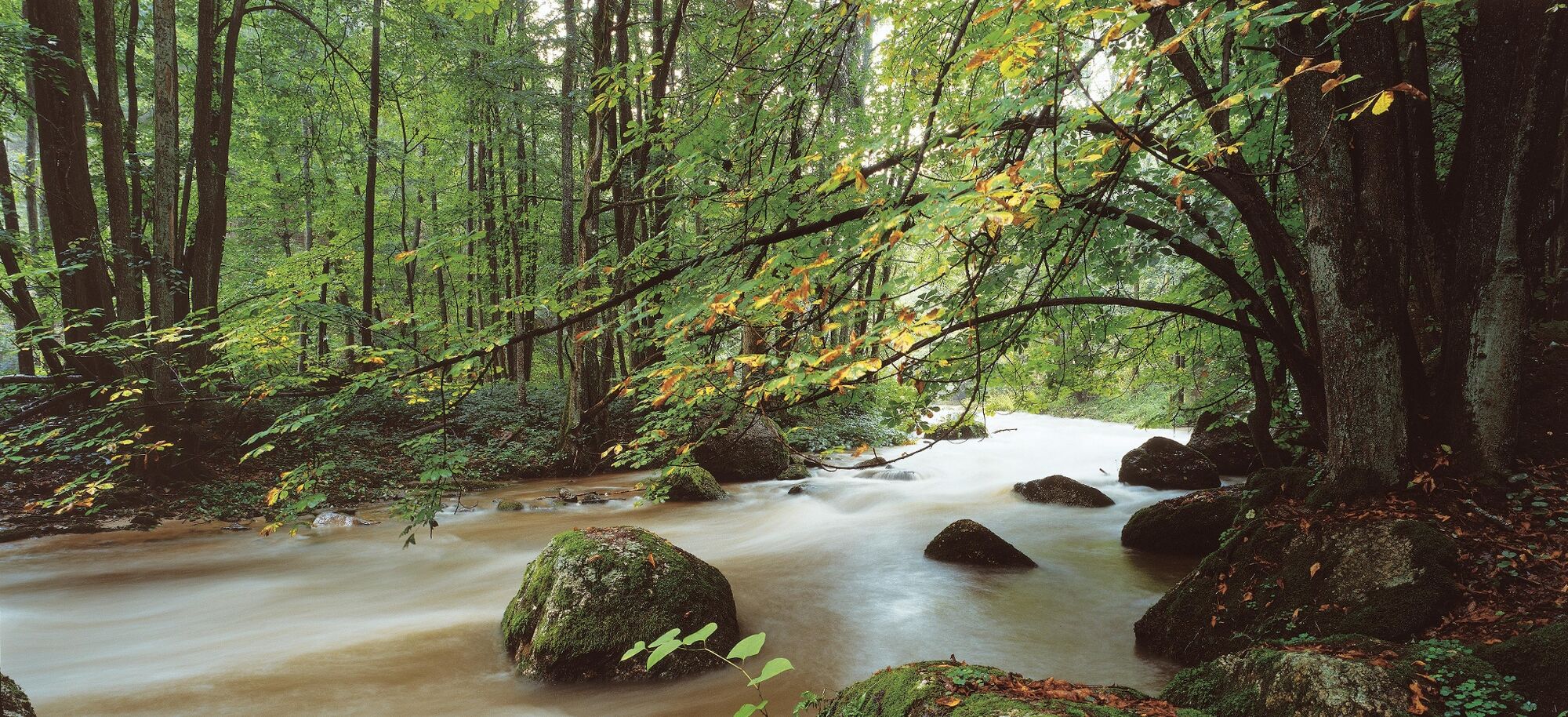
© OÖ. Tourismus Marketing/Heilinger

- Difficoltà
-
difficile
- Valutazione
-
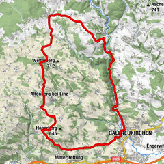
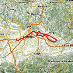
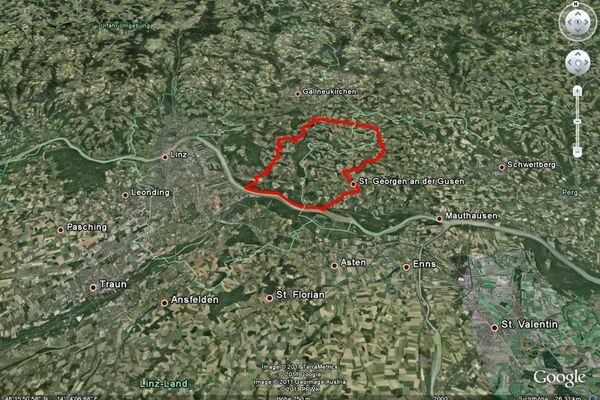
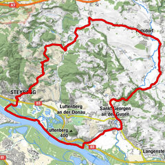
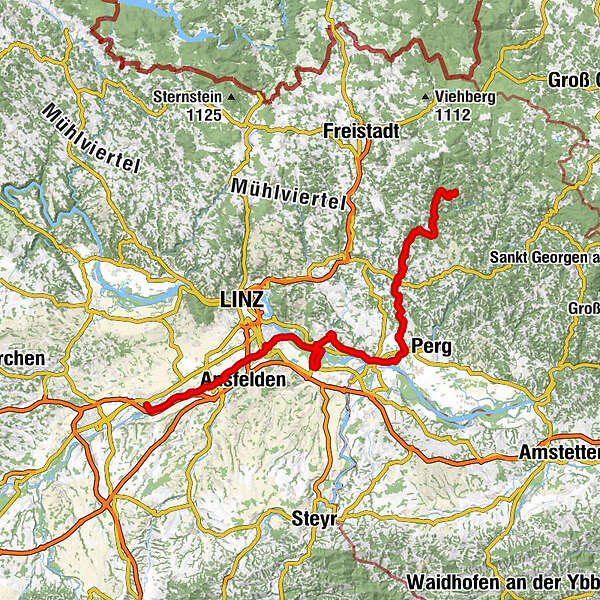
- Percorso
-
Kirchenwirt SchwarzPfarrkirche St.Leonhard0,0 kmGasthaus Janko Gottfried0,1 kmSankt Leonhard bei Freistadt0,1 kmHerzogreith2,7 kmRiedlhammer7,6 kmFeiblmühl10,3 kmReichenstein18,2 kmZur Hoftaverne18,3 kmStranzberg23,5 kmGasthaus Buchner24,2 kmHohensteg24,3 kmHartl26,3 kmJosefstal27,3 kmJosefstal28,1 kmSchwertberg (265 m)30,5 kmAisting32,3 kmAlbern37,5 kmHeinrichskirche39,3 kmMauthausen39,8 kmUfer41,2 kmGasthaus OST42,8 kmLangenstein43,2 kmKönigreichssaal der Zeugen Jehovas43,7 kmPree44,7 kmGusen44,7 kmJIN XIN45,0 kmStacherlsiedlung45,6 kmSankt Georgen an der Gusen (262 m)46,8 kmSt. Georgen an der Gusen48,2 kmGastwirtschaft Lehenhof49,1 kmPacino49,8 kmBiber Restaurant56,1 kmTraun74,3 kmMarchtrenk86,1 km
- La stagione migliore
-
genfebmaraprmaggiulugagosetottnovdic
- Punto più alto
- 807 m
- Profilo altimetrico
-

- Autore
-
Il tour Waldaist-Tal è utilizzato da outdooractive.com fornito.
GPS Downloads


Info generali
Punto di ristoro
Altri tour nelle regioni