© Unbekannt - © T-Man
© Unbekannt - © T-Man

- Descrizione rapida
-
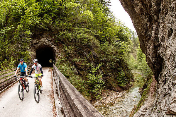
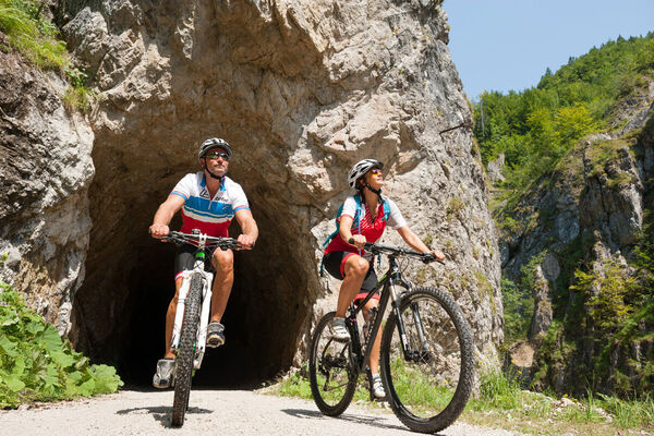
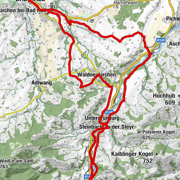
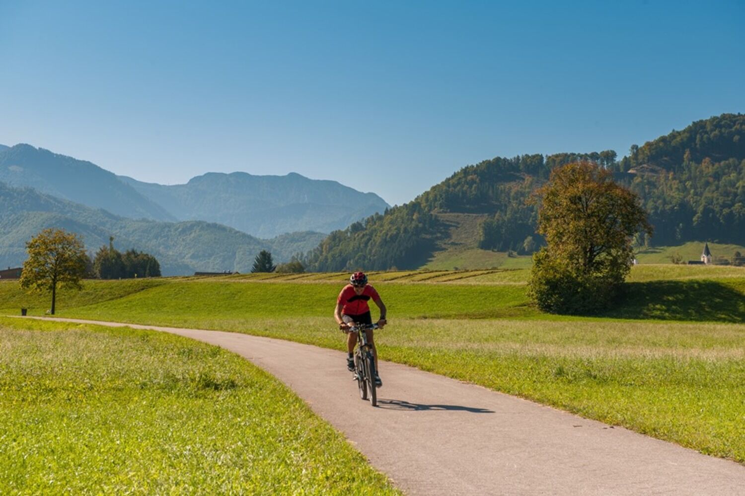
This about 35 km long round tour leads through the "land of hammers" in the middle Steyr Valley. First it goes from Bad Hall to Waldneukirchen, then further in the direction of Steinbach.
- Difficoltà
-
intermedio
- Valutazione
-
- Percorso
-
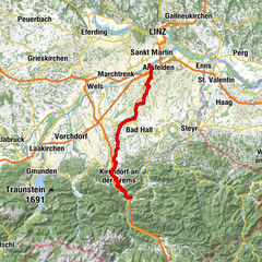
Bad Hall0,1 kmWaldneukirchen8,1 kmDorftaverne8,1 kmUntergrünburg11,8 kmSteinbach an der Steyr12,4 kmObergrünburg14,7 kmSteinbach an der Steyr19,3 kmKirchenwirt Czerny19,5 kmPfarrkirche Steinbach19,5 kmUntergrünburg19,9 kmHaus des Gebetes29,4 kmSteingrub32,1 kmBad Hall34,6 km
- La stagione migliore
-
genfebmaraprmaggiulugagosetottnovdic
- Punto più alto
- 465 m
- Destinazione
-
Bad Hall, Eduard-Bach-Straße (Forum Hall)
- Profilo altimetrico
-

-

-
AutoreIl tour Knifemakers’ Trail è utilizzato da outdooractive.com fornito.
GPS Downloads


Info generali
Punto di ristoro
Culturale/Storico
Promettente
Altri tour nelle regioni