Sebaldusweg stage 01 | Großraming - Losenstein - Laussa

Pellegrinaggio

© TV Nationalpark Region Ennstal

© TV Nationalpark Region Ennstal/Melanie Eichenauer

© Tourismusverband Steyr Nationalpark Region - Martin Weymayer

- Descrizione rapida
-
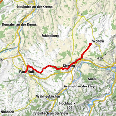
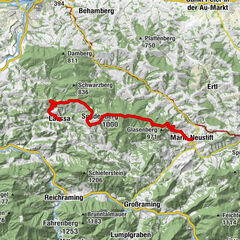
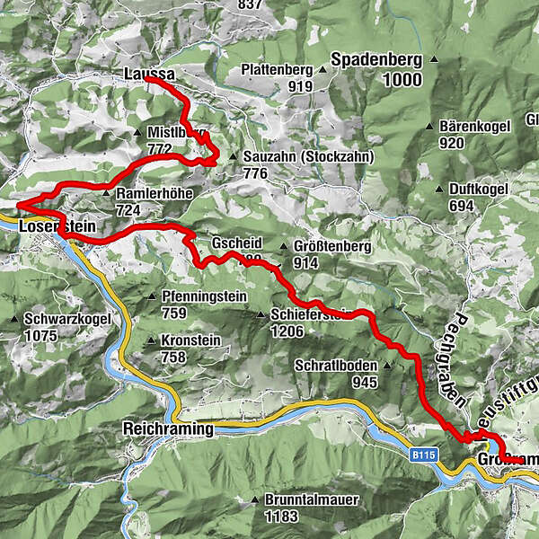
Starting point: Großraming
Stage destination: Laussa
Trail conditions: Hiking trail, asphalt, forest road
Trail length: 21 km
Metres in altitude: approx. 1,100 m (incl. Steinerner Jäger variant)
Großraming - Menweg - Gschoad - Stiedelsbach (Nagelschmiede) - Losenstein village square - Kirchenberg - Fatima Chapel - towards Sauzahn - Brettertal -Laussa. Variant: Steinerner Jäger (1,185 m)
- Difficoltà
-
intermedio
- Valutazione
-
- Percorso
-
Großraming0,0 kmPfarrkirche Großraming0,0 kmLandgasthof Kirchenwirt0,0 kmReingrub1,2 kmGscheid (780 m)8,0 kmCafé Restaurant Petermühle12,2 kmGasthof Marxrieser - Bräuhaus13,0 kmPfarrkirche hl. Blasius13,4 kmLosenstein13,5 kmLandesjugendhaus Losenstein13,9 kmEinsiedlerhöhle20,8 kmSchindlthal20,8 kmSchindlthalhöhle20,8 kmLaussa22,0 kmKirche Laussa22,0 km
- La stagione migliore
-
genfebmaraprmaggiulugagosetottnovdic
- Punto più alto
- 786 m
- Destinazione
-
Laussa
- Profilo altimetrico
-


- Autore
-
Il tour Sebaldusweg stage 01 | Großraming - Losenstein - Laussa è utilizzato da outdooractive.com fornito.
GPS Downloads


Info generali
Punto di ristoro
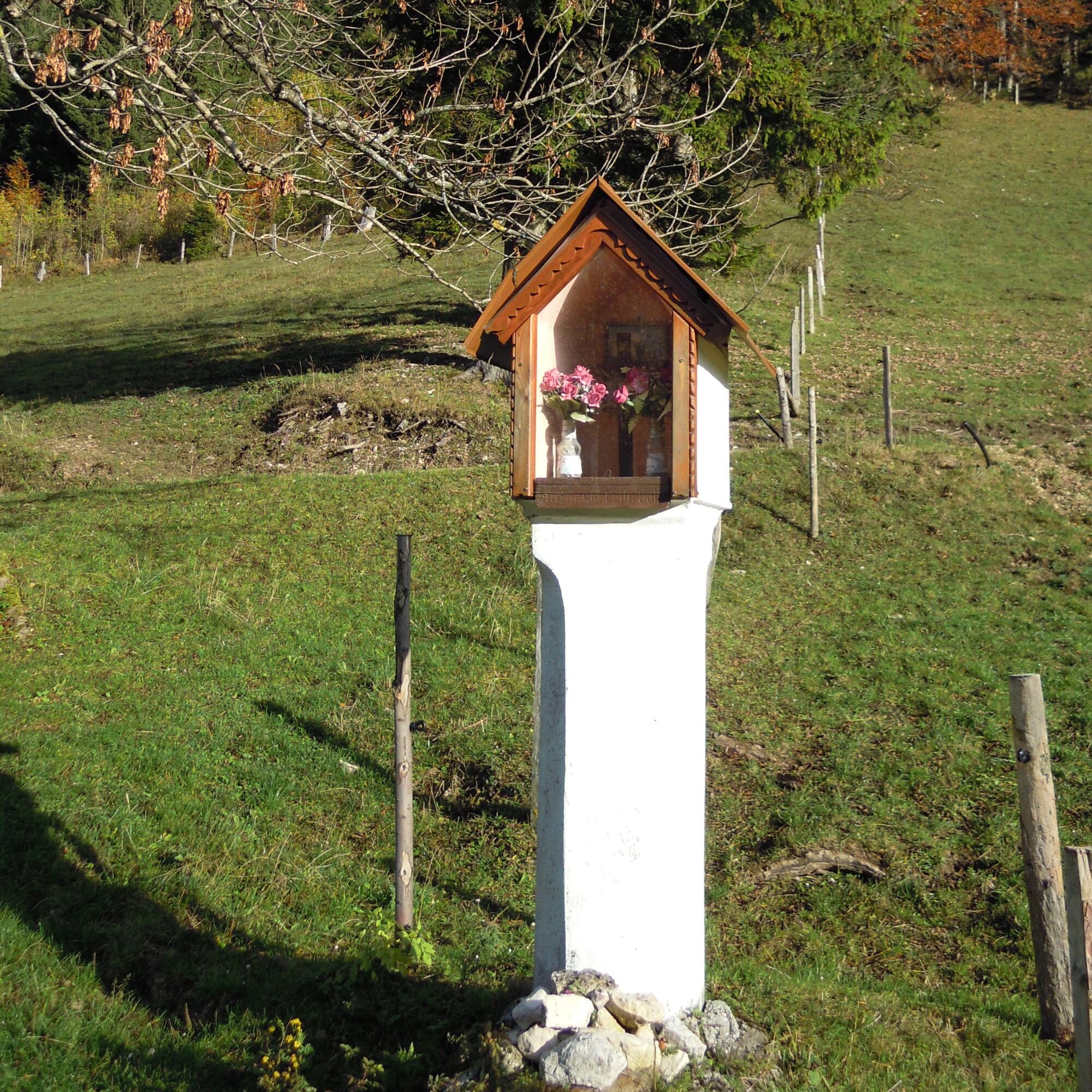
Culturale/Storico
Promettente
Altri tour nelle regioni
-
Traunviertel
1940
-
Steyr und die Nationalpark Region
1371
-
Reichraming
363