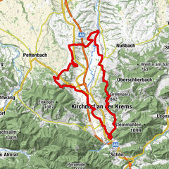
OÖ Mariazellerweg: B: 2. Etappe: St. Florian - Steyr

Pellegrinaggio


- Descrizione rapida
-
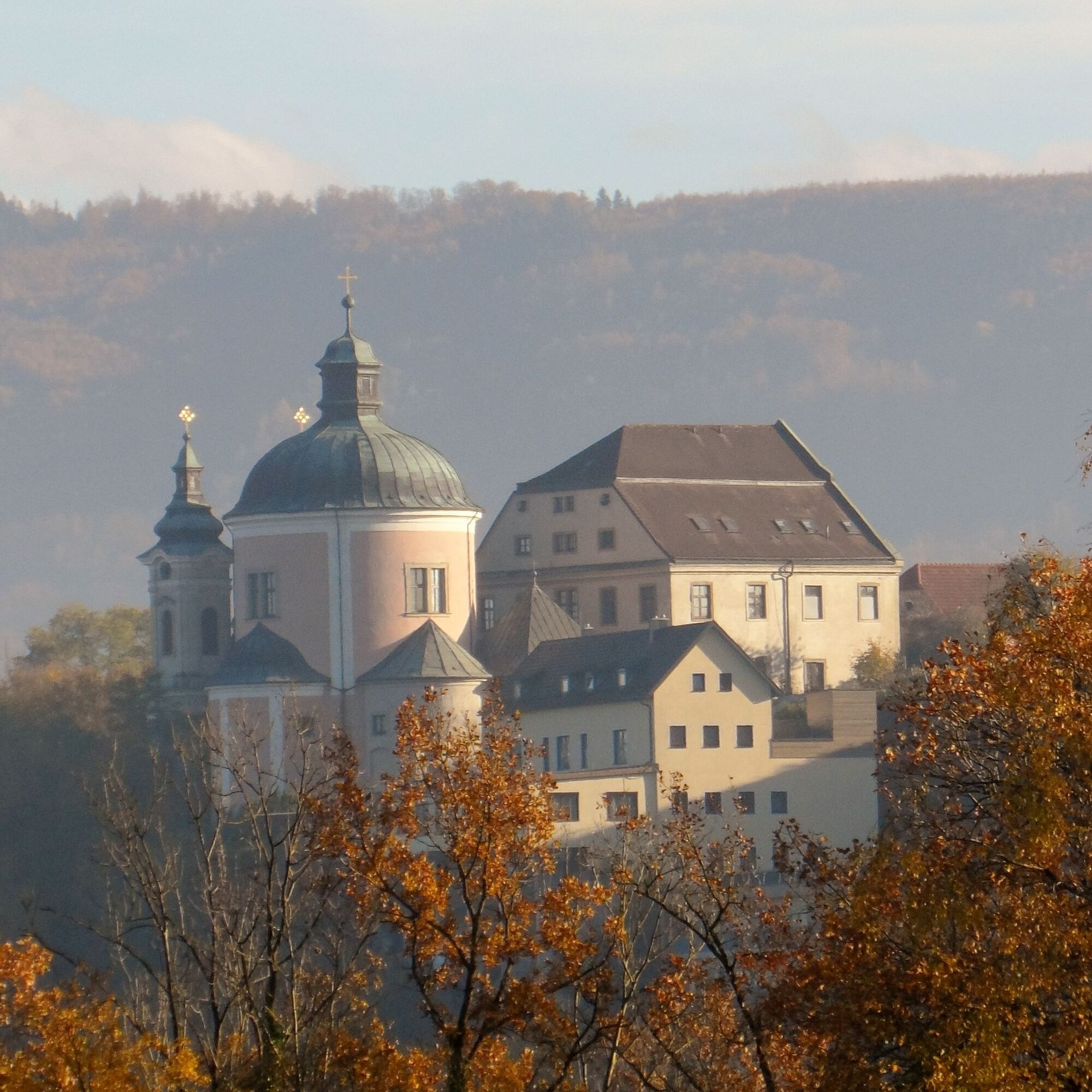
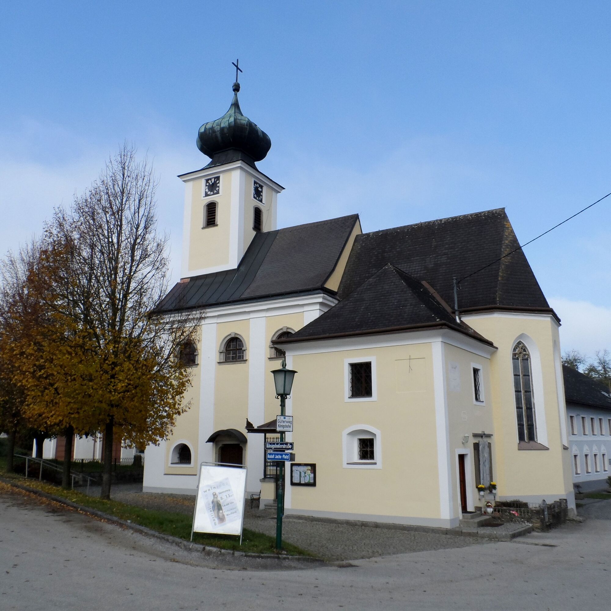
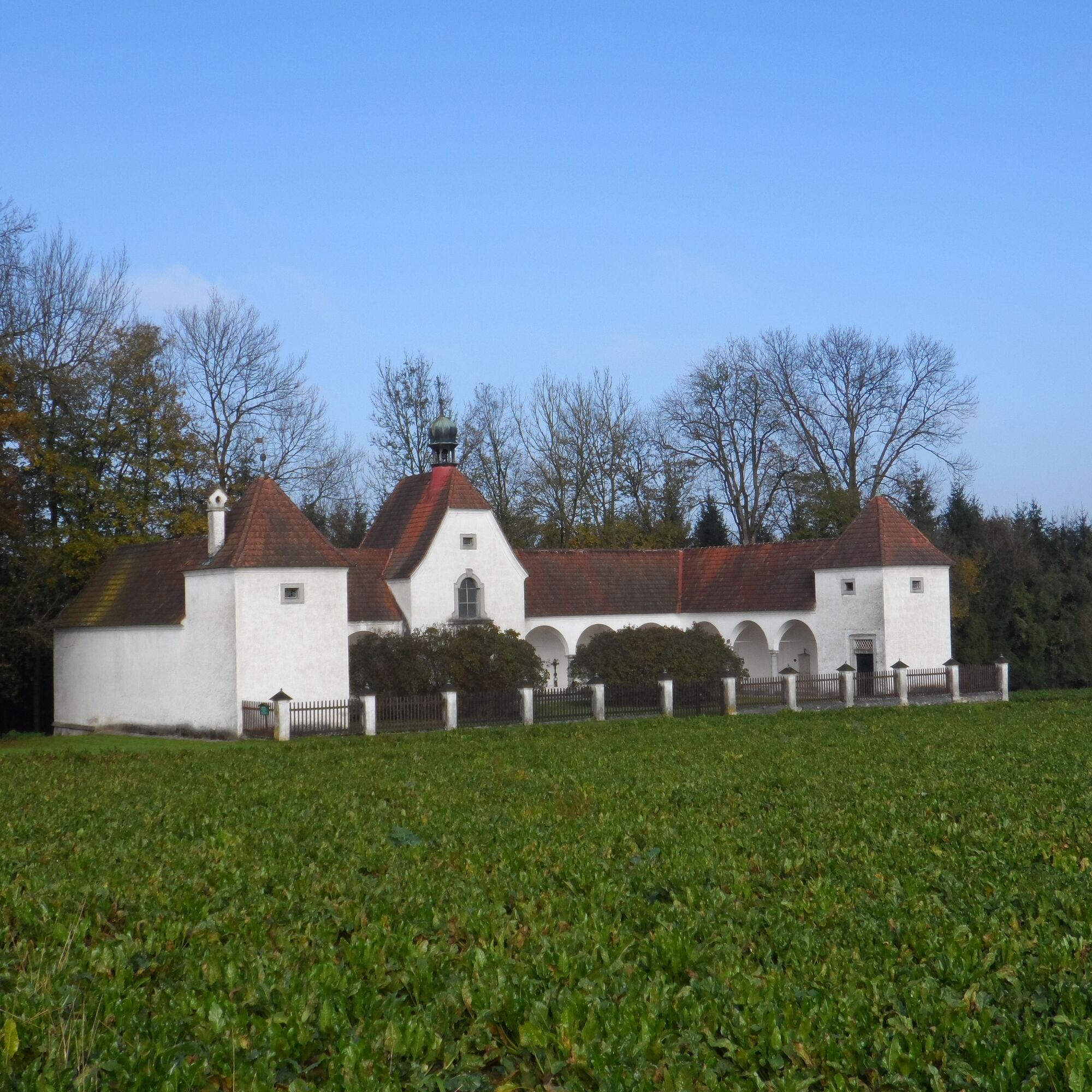
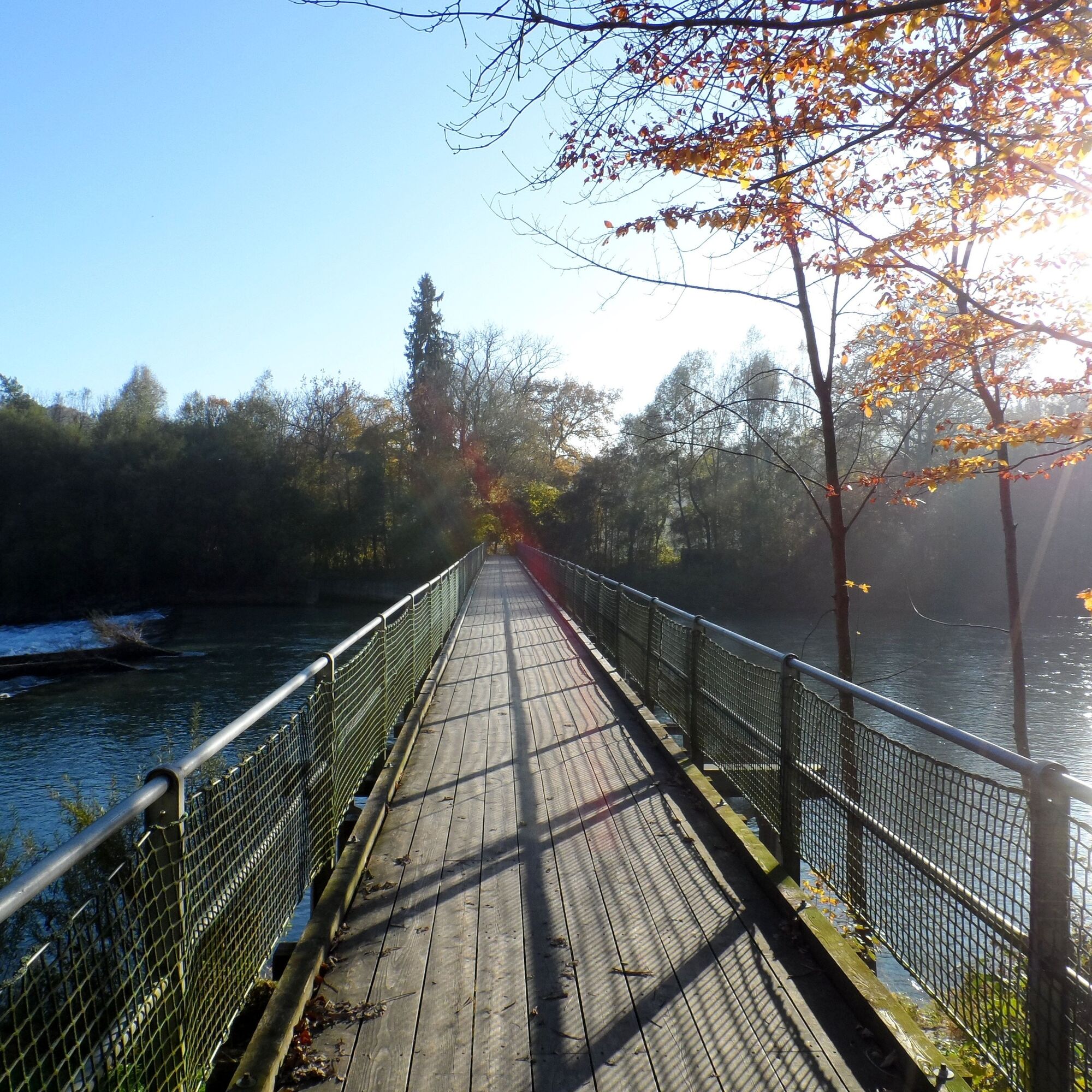
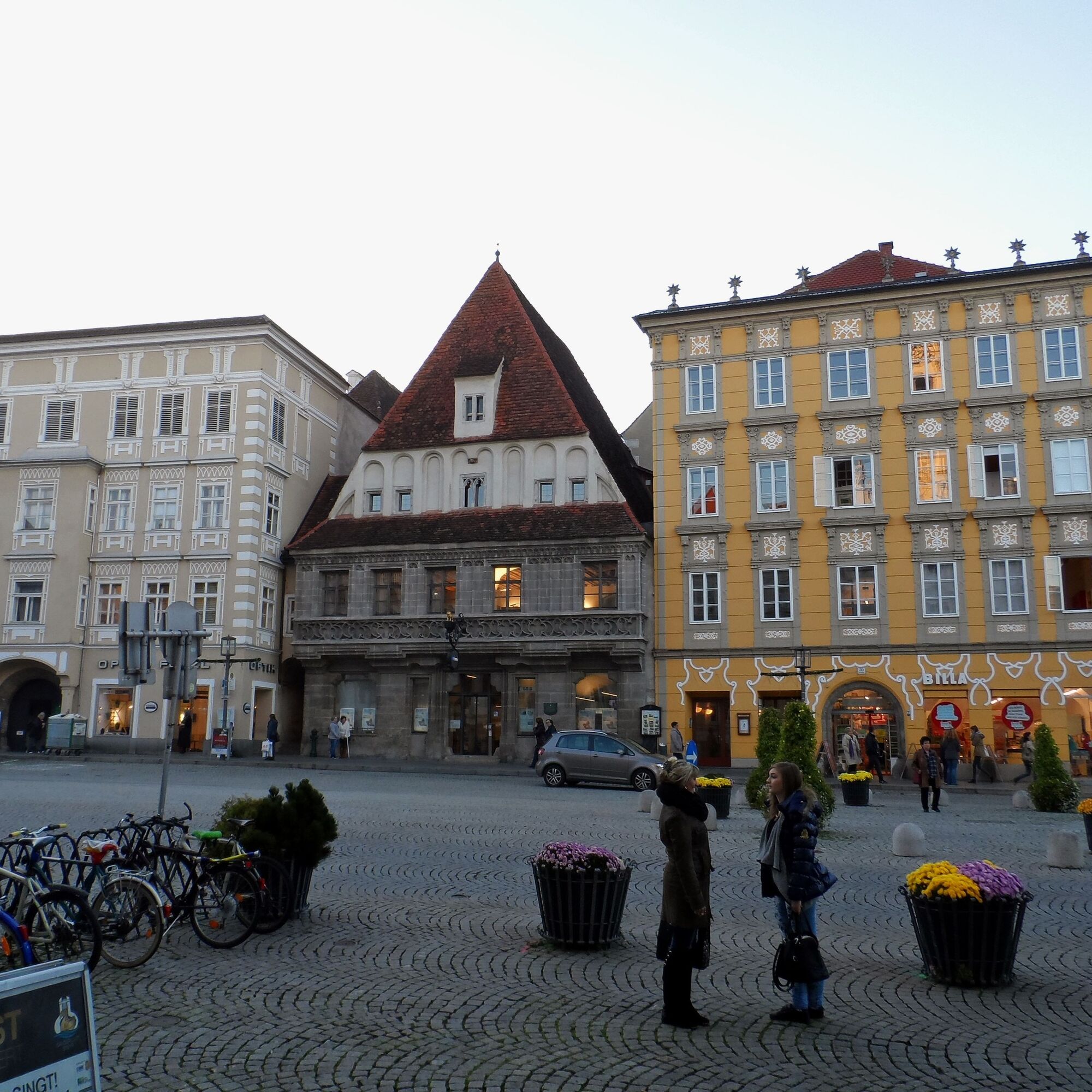
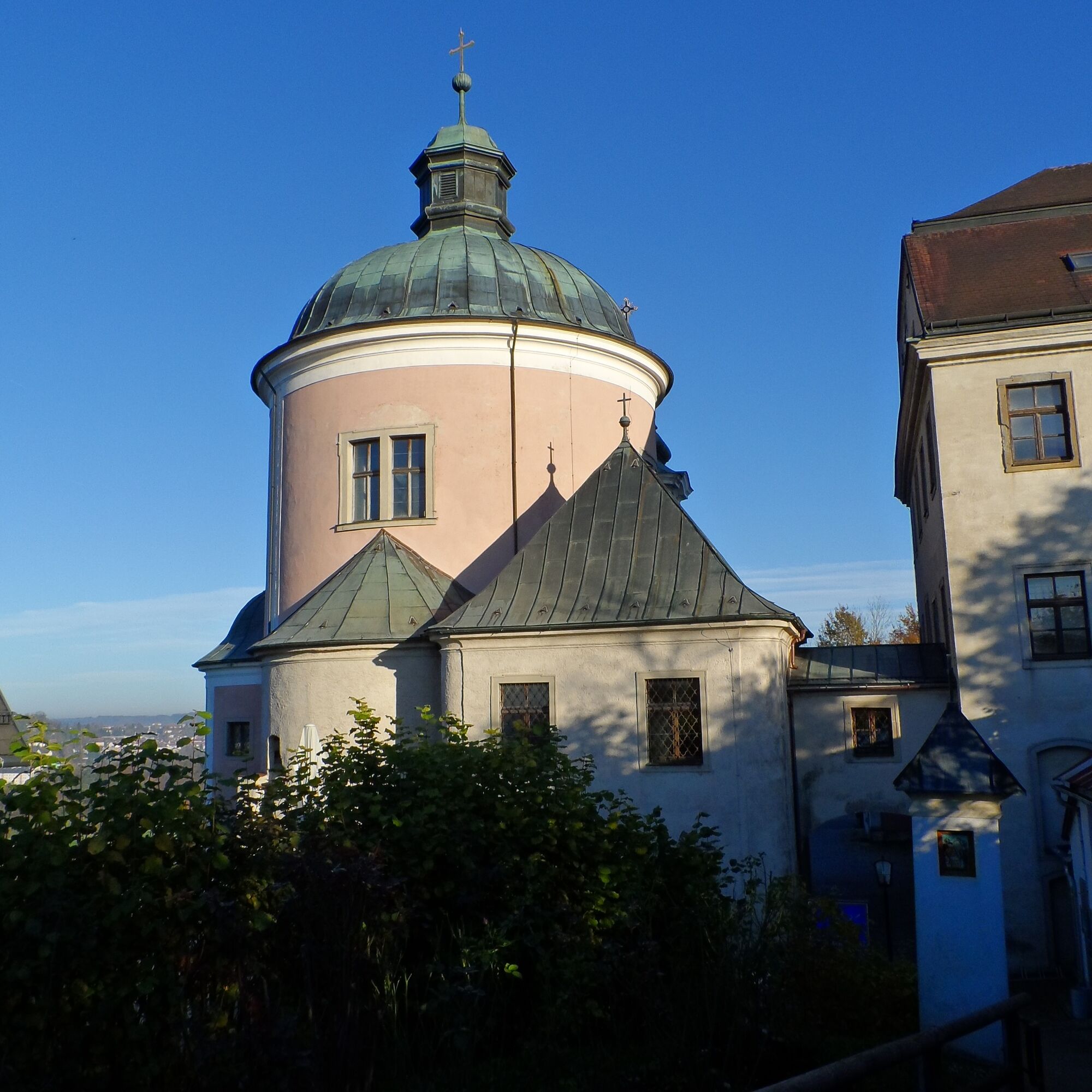
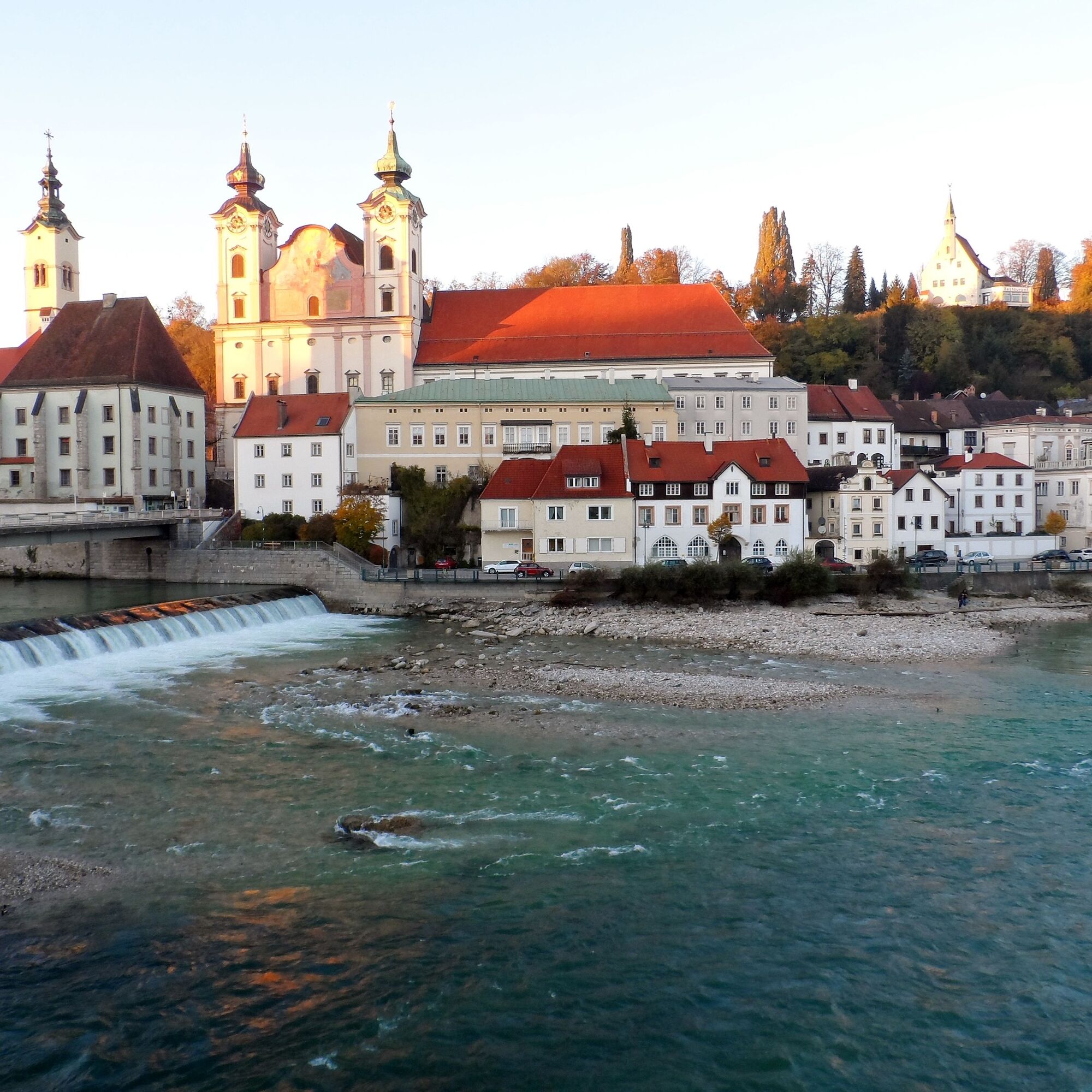
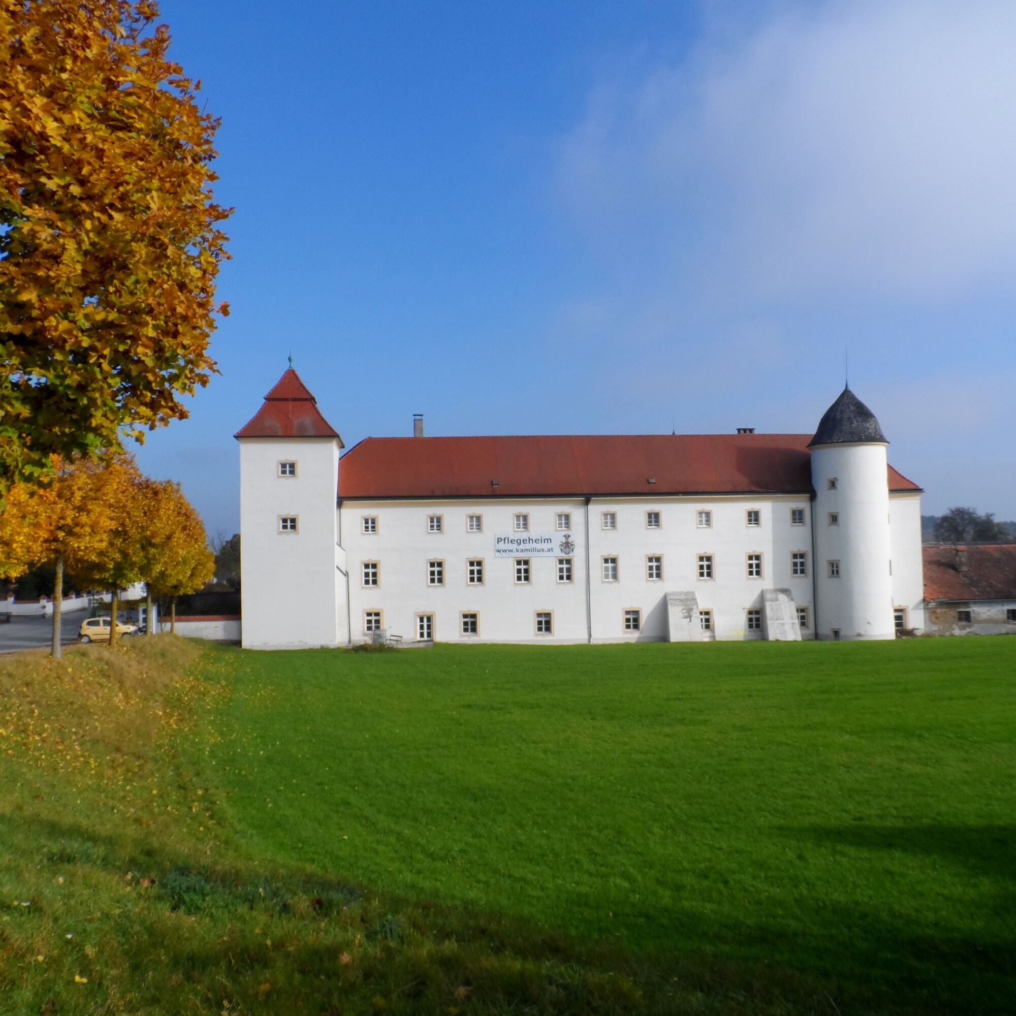
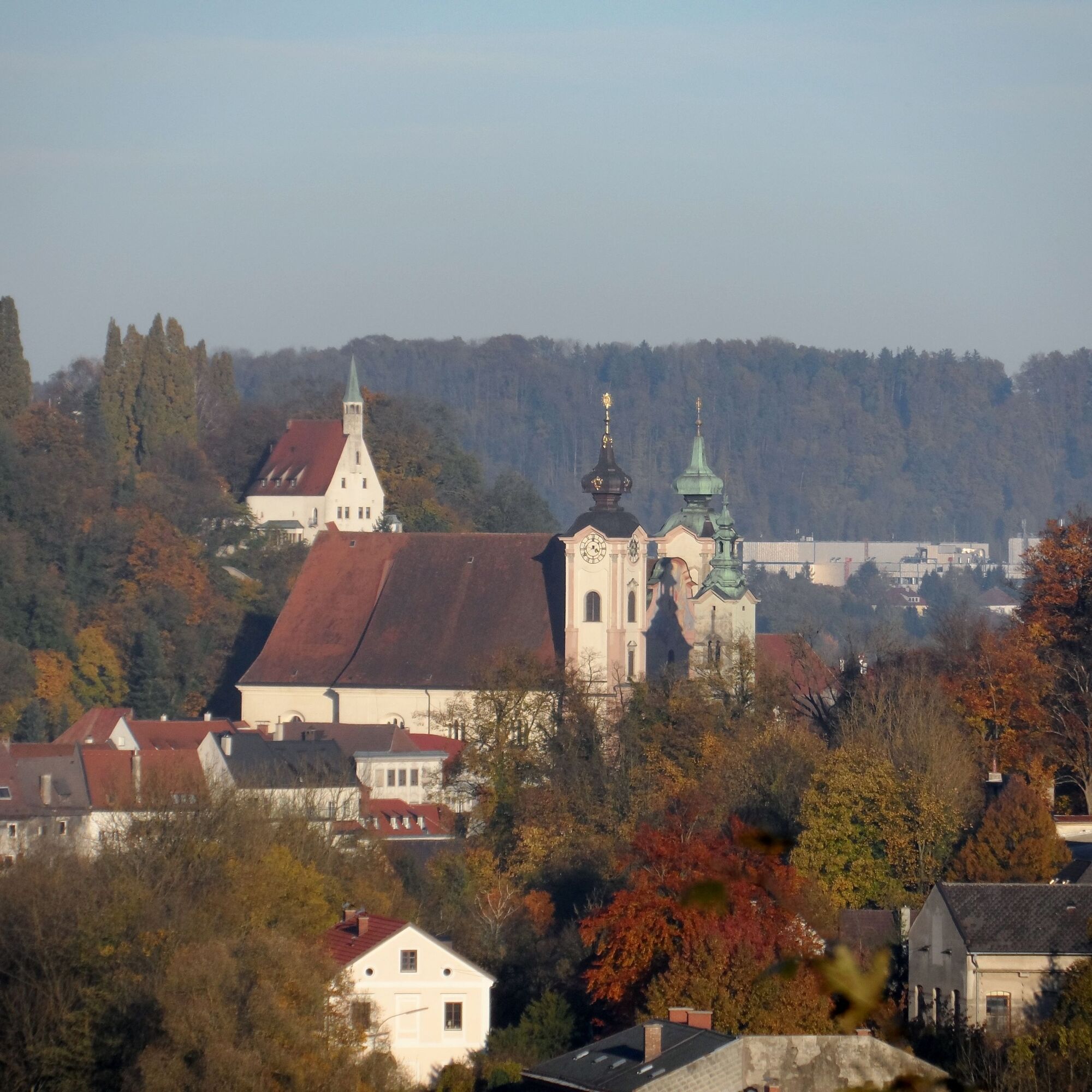
Zwischen St. Florian und Steyr erwartet uns eine erlebnisreiche Wallfahrt auf den Spuren von Adel, Religion und Tradition. Wir kommen an der Wallfahrtskirche Maria Laah vorbei, erklimmen die Pfaffenstiege, bewundern das Mausoleum des Fürstengeschlechts Auersperg, durchwandern märchenhafte Wälder und sehen schließlich aus der Ferne schon das Christkindl - und das obwohl noch gar kein Schnee liegt.
- Difficoltà
-
intermedio
- Valutazione
-
- Percorso
-
St. Florian0,4 kmFernbach3,2 kmGrünbrunn6,3 kmMaria Laah12,3 kmLosensteinleiten14,0 kmLandgasthaus Bruckner14,2 kmWickendorf16,2 kmGasthaus Neubauer16,4 kmOberwolfern18,7 kmRosenegg25,5 kmChristkindlwirt26,8 kmWallfahrtskirche Christkindl26,9 kmLoretokapelle26,9 kmChristkindl26,9 kmUnterhimmel27,1 kmChristkindlsiedlung28,0 kmTeufelsbachfall28,3 kmEisenfeld28,3 kmTeufelsbach-Halbhöhle28,5 kmTeufelsbachstollen28,5 kmSteyr (310 m)28,6 kmUnterhimmel30,1 kmChristkindl30,3 kmLoretokapelle30,3 kmWallfahrtskirche Christkindl30,4 kmChristkindlwirt30,4 kmRosenegg31,7 kmOberwolfern38,3 kmGasthaus Neubauer40,8 kmWickendorf41,0 kmLandgasthaus Bruckner42,9 kmLosensteinleiten43,1 kmMaria Laah44,8 kmGrünbrunn50,7 kmFernbach54,0 kmSt. Florian56,9 kmFernbach61,0 kmGrünbrunn64,1 kmMaria Laah70,0 kmLosensteinleiten71,8 kmLandgasthaus Bruckner71,9 kmWickendorf74,0 kmGasthaus Neubauer74,2 kmOberwolfern76,5 kmRosenegg83,3 kmChristkindlwirt84,6 kmWallfahrtskirche Christkindl84,6 kmLoretokapelle84,6 kmChristkindl84,7 kmUnterhimmel84,9 kmChristkindlsiedlung85,7 kmTeufelsbachfall86,1 kmEisenfeld86,2 kmTeufelsbach-Halbhöhle86,3 kmTeufelsbachstollen86,3 kmInnere Stadt86,9 kmStadtpfarrkirche Hl. Ägydius und Kolomann87,0 kmSteyr (310 m)87,1 kmMarienkirche87,2 km
- La stagione migliore
-
genfebmaraprmaggiulugagosetottnovdic
- Punto più alto
- 395 m
- Destinazione
-
Steyr
- Profilo altimetrico
-

- Autore
-
Il tour OÖ Mariazellerweg: B: 2. Etappe: St. Florian - Steyr è utilizzato da outdooractive.com fornito.
GPS Downloads


Info generali
Punto di ristoro
Culturale/Storico
Promettente
Altri tour nelle regioni
-
Traunviertel
1940
-
Tourismusregion Bad Hall
770
-
Wolfern
117