© Verein Mühlviertler Granitland

- Descrizione rapida
-
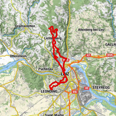
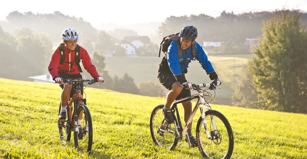
The tour leads up to panoramic heights and through five river valleys. You can start with parking in Walding at the Sportpark or in St. Gotthard at the Musikheim. Also at the sports field Rottenegg can be entered into the variant E1.
- Valutazione
-
- Percorso
-
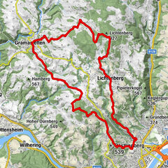
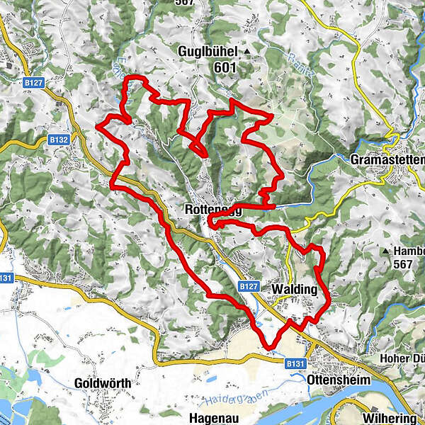
Rodl0,9 kmSankt Gotthard im Mühlkreis15,4 kmMaierleiten22,7 kmRottenegg24,2 kmBach30,4 km
- La stagione migliore
-
genfebmaraprmaggiulugagosetottnovdic
- Punto più alto
- 529 m
- Profilo altimetrico
-

- Autore
-
Il tour MTB - Rodltal tour è utilizzato da outdooractive.com fornito.
Tutte le recensioni
Georg M.
09. Apr. 2024
Verificato andato
Gute Tour auch mit dem Gravelbike machbar.
Trovi utile questa recensione
Tu e 1 persona ha trovato questa recensione utile
Tu e Le persone trovano questa recensione utile
1 persona ha trovato questa recensione utile
Le persone trovano questa recensione utile
|
GPS Downloads


Info generali
Promettente
Altri tour nelle regioni