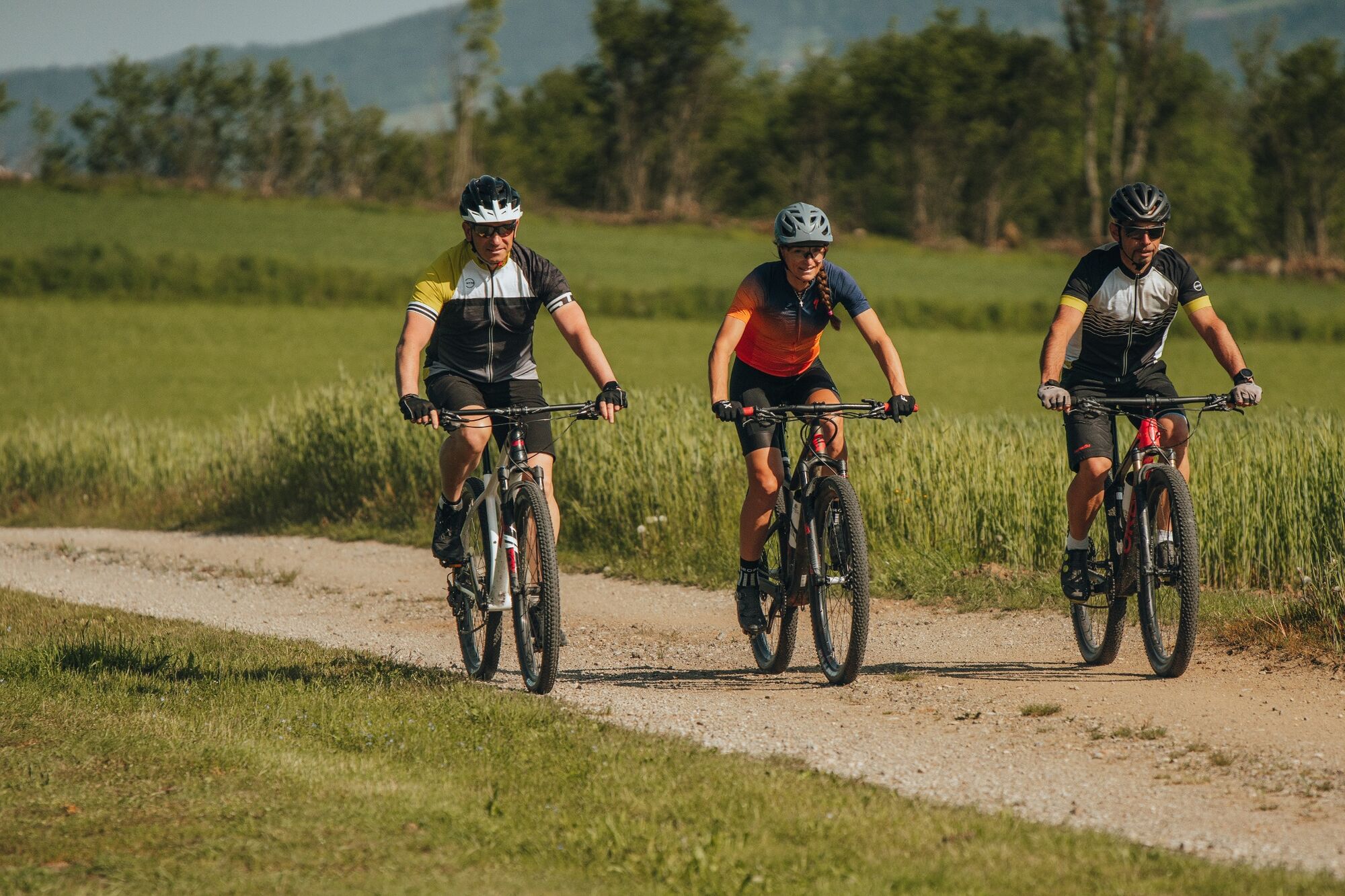
© WGD Donau Oberösterreich Tourismus GmbH - © CM Visuals

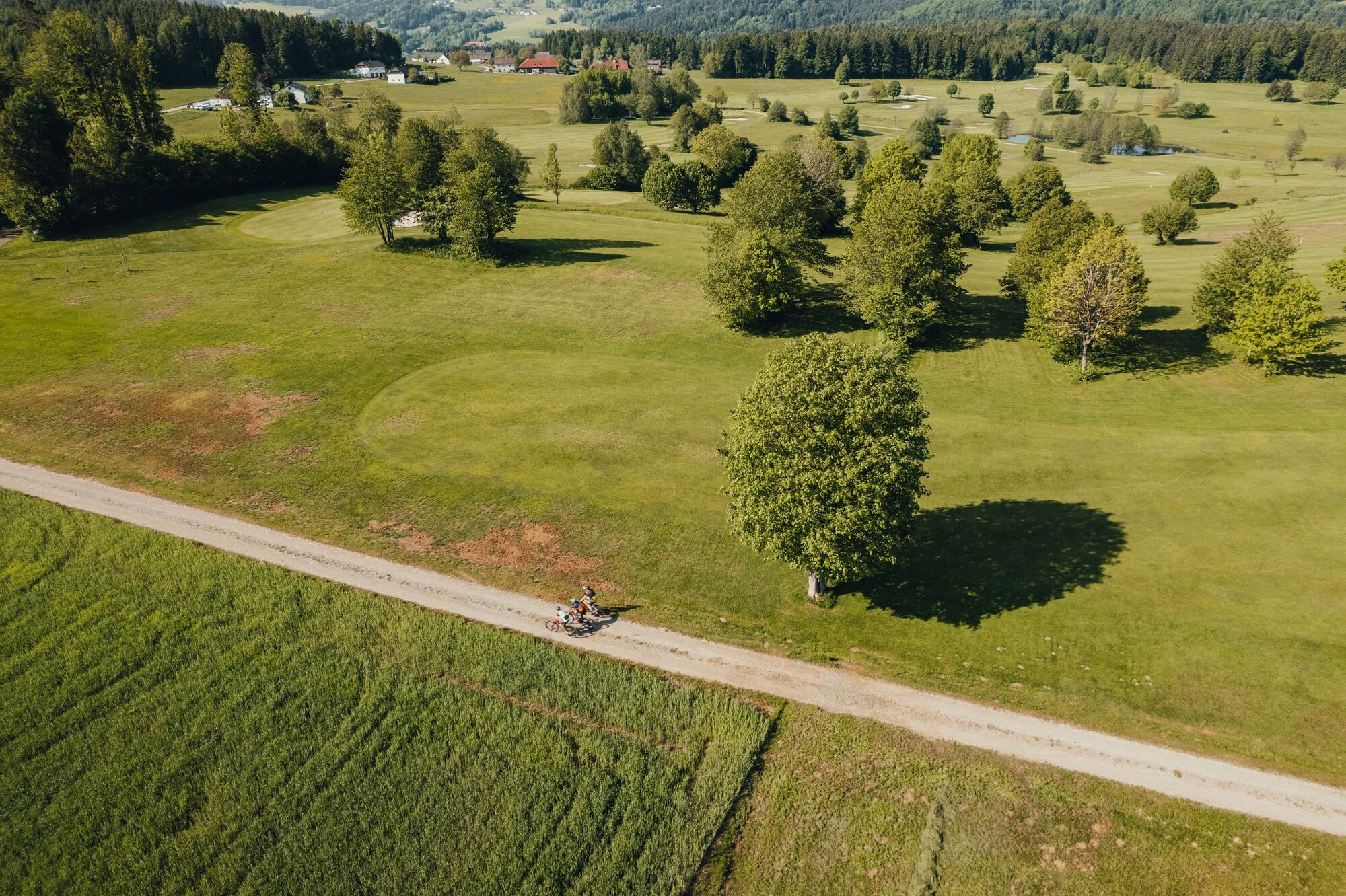
© WGD Donau Oberösterreich Tourismus GmbH - © CM Visuals

© WGD Donau Oberösterreich Tourismus GmbH - © CM Visuals

© WGD Donau Oberösterreich Tourismus GmbH - © CM Visuals
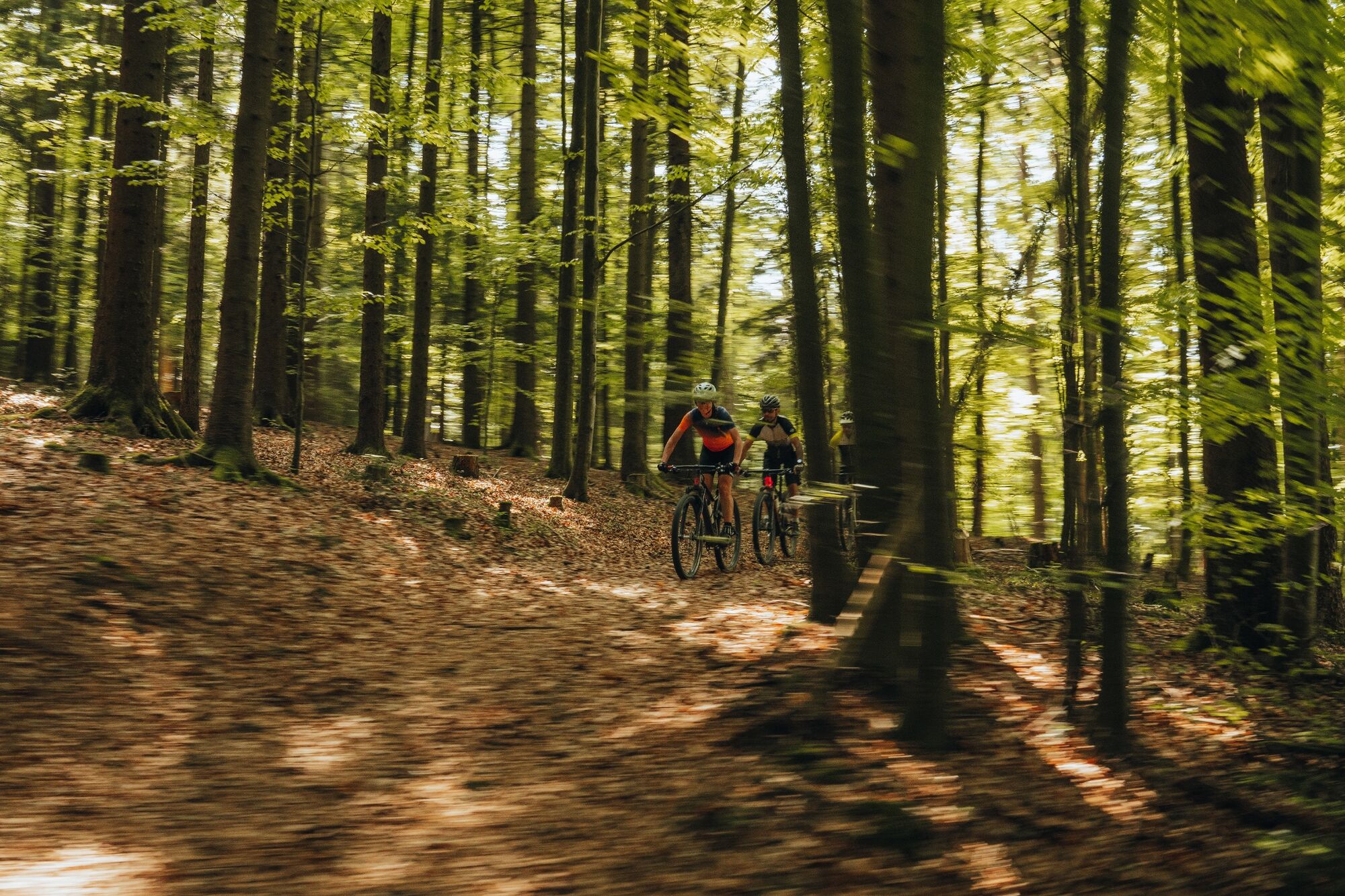
© WGD Donau Oberösterreich Tourismus GmbH - © Granitland_Erwin Haiden

© WGD Donau Oberösterreich Tourismus GmbH - © Granitland_Erwin Haiden

- Descrizione rapida
-
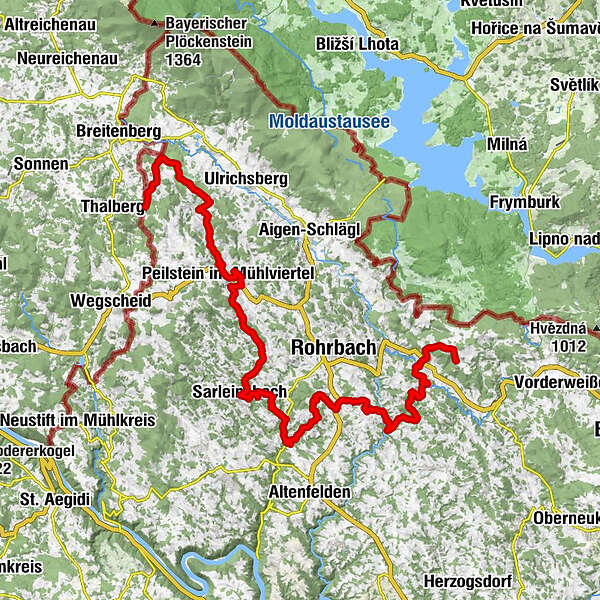
„Past the “North Cape” and ridge between rivers to the top of the Bohemian Forest“
- Difficoltà
-
difficile
- Valutazione
-
- Percorso
-
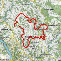
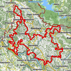
Gasthof GreinerKohlstattAlm9,5 kmMeraner Kutscherstadl10,1 kmJulbach10,3 kmHinterschlag12,0 kmLandgasthaus Pernsteiner13,1 kmNiederkraml13,1 kmExenschlag14,9 kmGasthof Post16,3 kmPeilstein im Mühlviertel16,3 kmPfarrkirche Peilstein16,5 kmGasthaus Fleischmann16,5 kmCarimps16,6 kmStierberg18,0 kmFuchs-Eisner - Hubertushof18,5 kmKicking20,0 kmRampetzreit22,2 kmHennerbach23,3 kmRutzersdorf24,6 kmAuerbach26,0 kmInnerhötzendorf27,1 kmPfarrkirche Sarleinsbach29,3 kmSarleinsbach29,3 kmGasthof Jagawirt29,4 kmMeising31,8 kmWintersberg33,2 kmZeller36,3 kmHühnergeschrei36,5 kmStierberg37,7 kmSchönberg41,1 kmAutengrub42,3 kmHintring45,4 kmMaria Rast53,2 kmKasten56,3 kmStefansplatzl63,7 kmKirche Sankt Stefan64,0 kmSankt Stefan am Walde64,2 km
- La stagione migliore
-
genfebmaraprmaggiulugagosetottnovdic
- Punto più alto
- 862 m
- Destinazione
-
Sankt Stefan am Walde
- Profilo altimetrico
-

-

-
AutoreIl tour Grande Granite Tour: Stage 2 è utilizzato da outdooractive.com fornito.
GPS Downloads


Info generali
Punto di ristoro
Culturale/Storico
Flora
Fauna
Promettente
Altri tour nelle regioni
-
Mühlviertel
194
-
Ferienregion Böhmerwald
68
-
Oepping
34