


Dati percorsi
6,49km
1.709
- 2.876m
1.273hm
1.273hm
09:00h
- Descrizione rapida
-
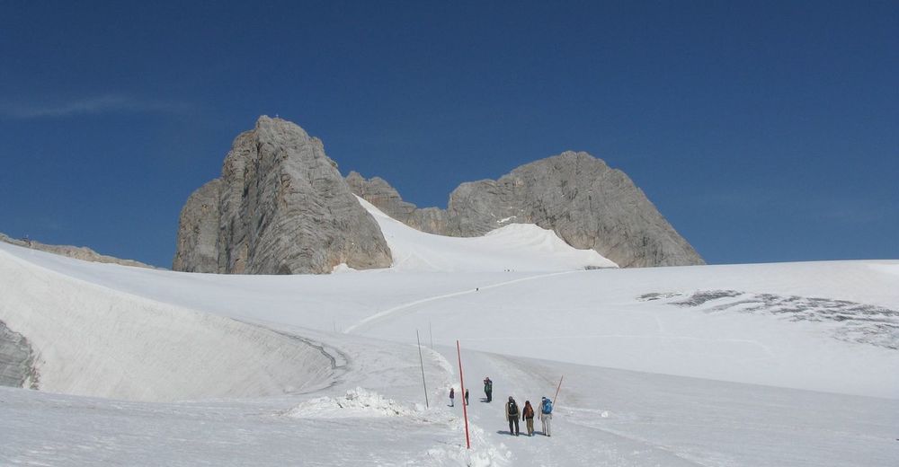
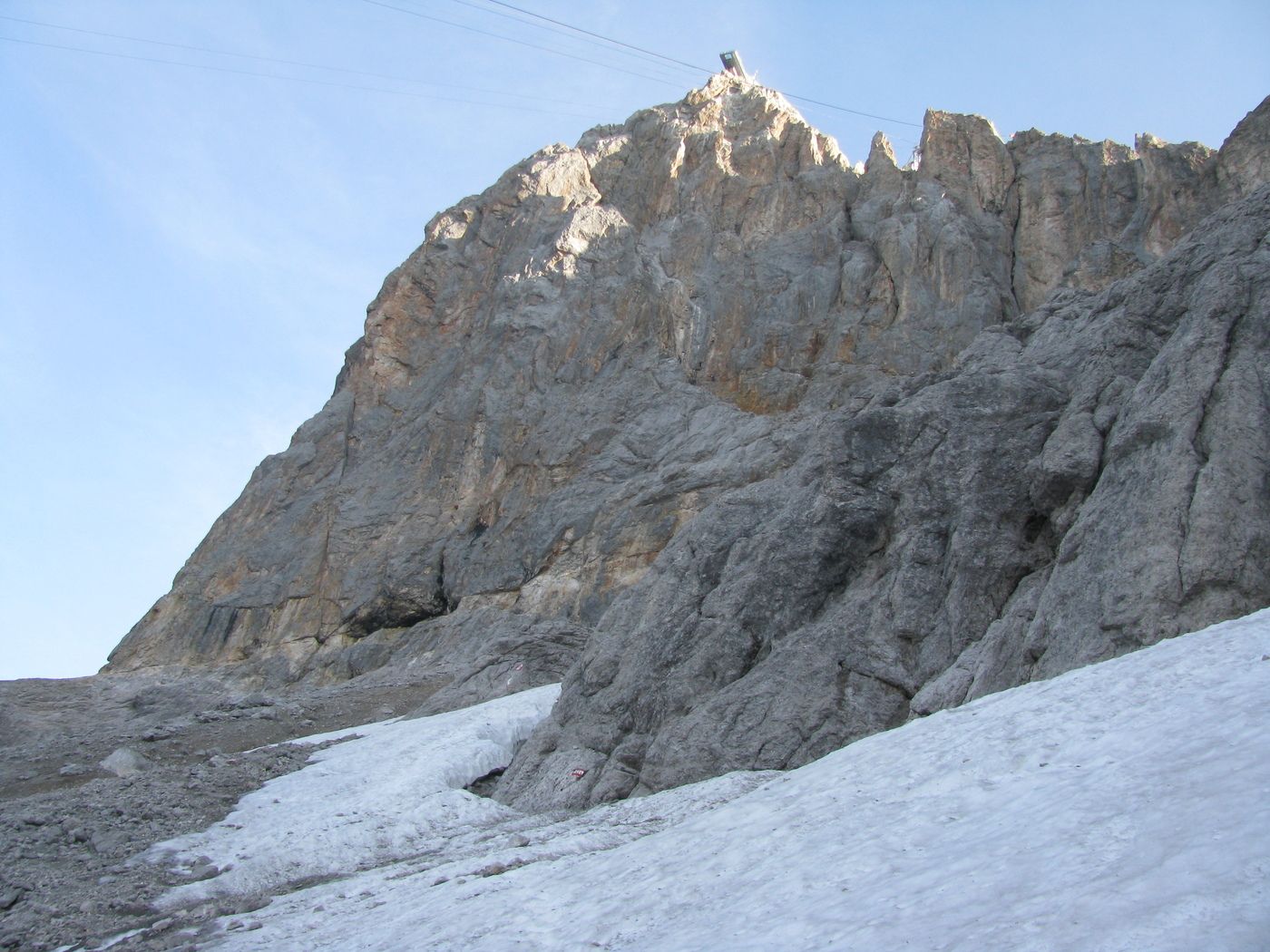
Sehr schöne Tour mit sehr schönen Klettersteigen.
- Difficoltà
-
intermedio
- Valutazione
-
- Punto di partenza
-
Talstation
- Percorso
-
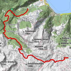
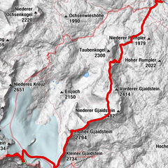
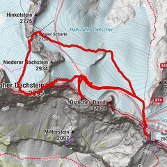
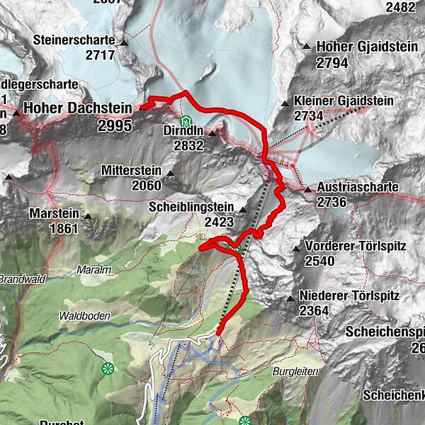
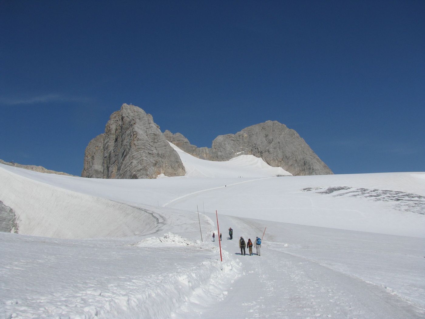
Dachsteinsüdwandhütte1,6 kmHunerscharte (2.602 m)3,8 kmHoher Dachstein (2.995 m)6,3 km
- La stagione migliore
-
genfebmaraprmaggiulugagosetottnovdic
- Punto più alto
- 2.876 m
- Destinazione
-
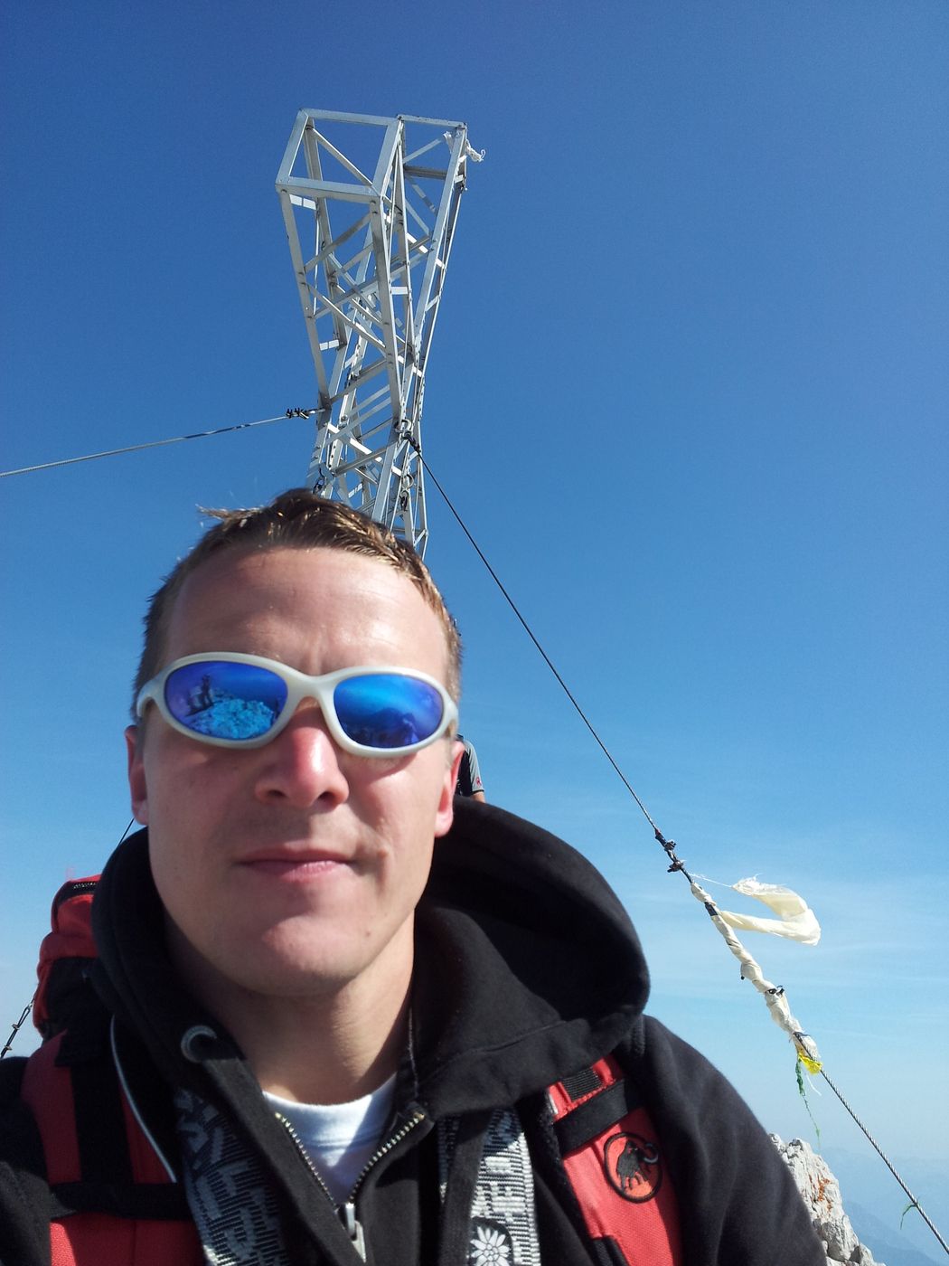
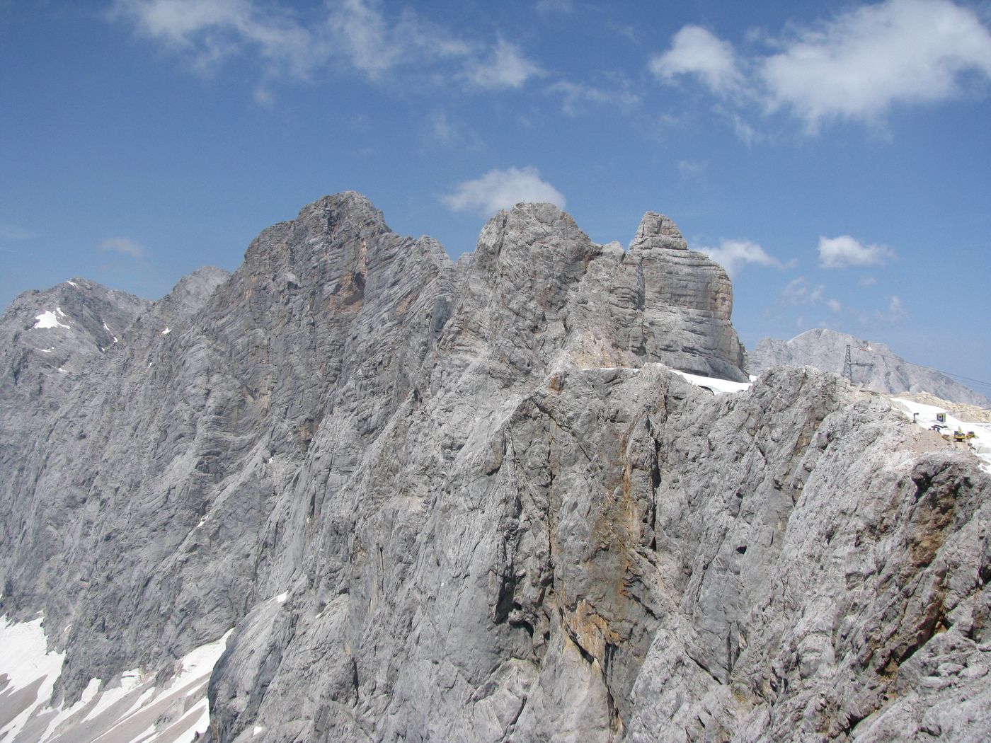
Hoher Dachstein
- Riposo/Ritiro
-
Südwandhütte oder auf der Bergstation


GPS Downloads


Altri tour nelle regioni