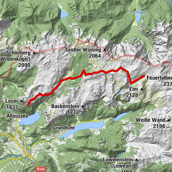
Dati percorsi
18,25km
1.332
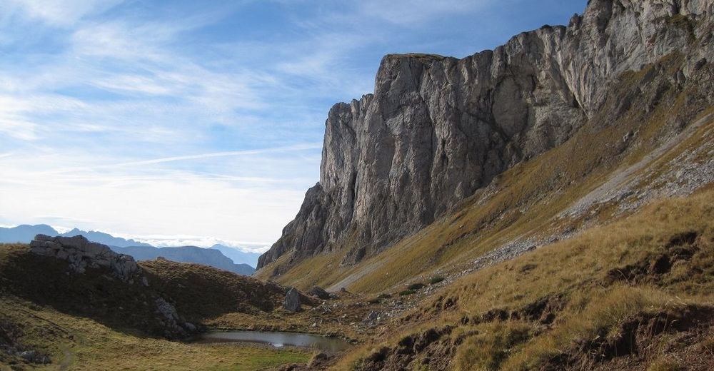
- 1.875m
948hm
1.065hm
08:00h
- Descrizione rapida
-
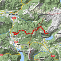
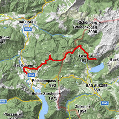
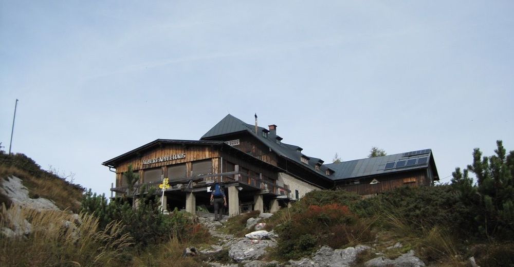
Von der Pühringerhütte über das Appelhaus zur Loserhütte.
- Difficoltà
-
intermedio
- Valutazione
-
- Punto di partenza
-
Pühringerhütte
- Percorso
-
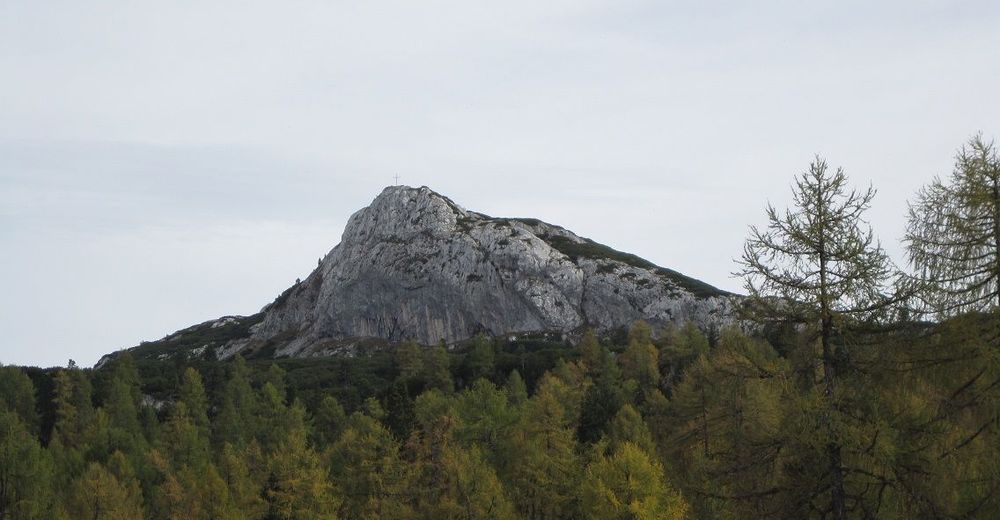
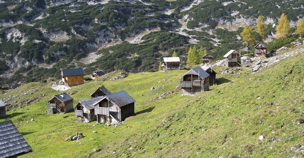
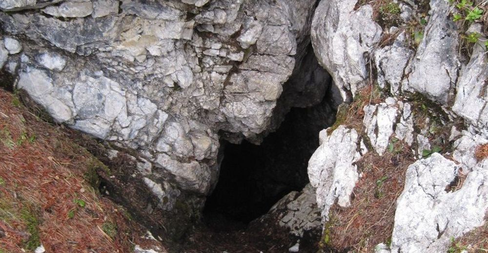
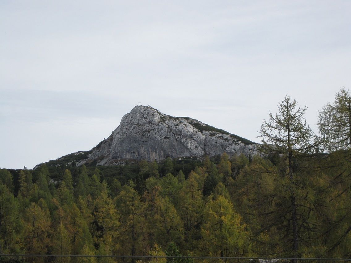
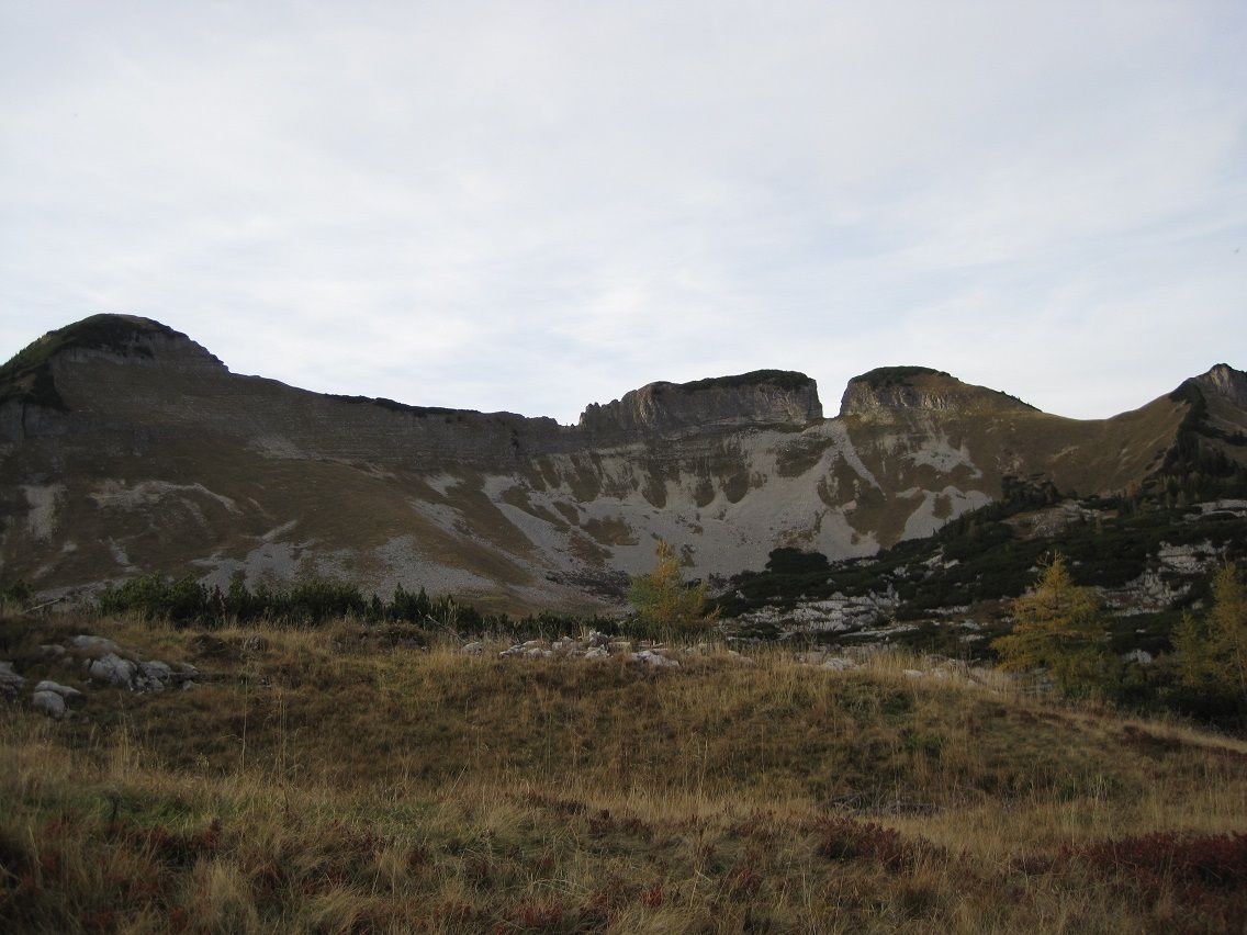
Emils Tränenhügel (1.655 m)0,8 kmKleines Windloch0,9 kmElmgrube (1.600 m)1,8 kmIn den Wiesen3,3 kmAlbert Appel-Haus9,0 kmAugstwiesenalm (1.415 m)10,4 kmRennerkogel11,7 kmSchotsuppbichl12,2 kmDimmelwand17,5 kmLoserhütte (1.498 m)17,9 km
- La stagione migliore
-
genfebmaraprmaggiulugagosetottnovdic
- Punto più alto
- 1.875 m
- Destinazione
-
Loserhütte
- Riposo/Ritiro
-
Pühringerhütte, Appelhaus, Loserhütte
- Cartine
-
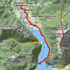
freytag&berndt WK082 Bad Aussee, Totes Gebirge, Bad Mittendorf, Tauplitz


GPS Downloads


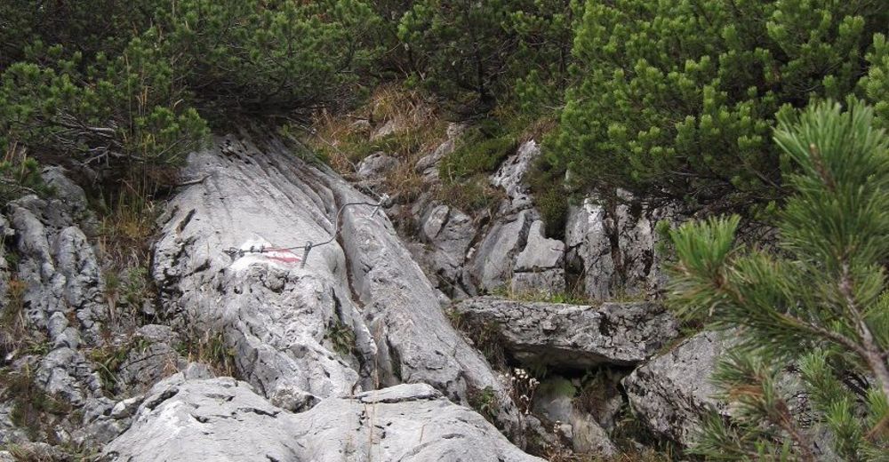
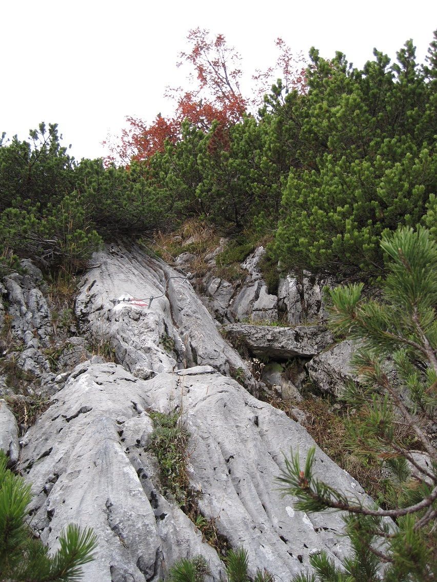
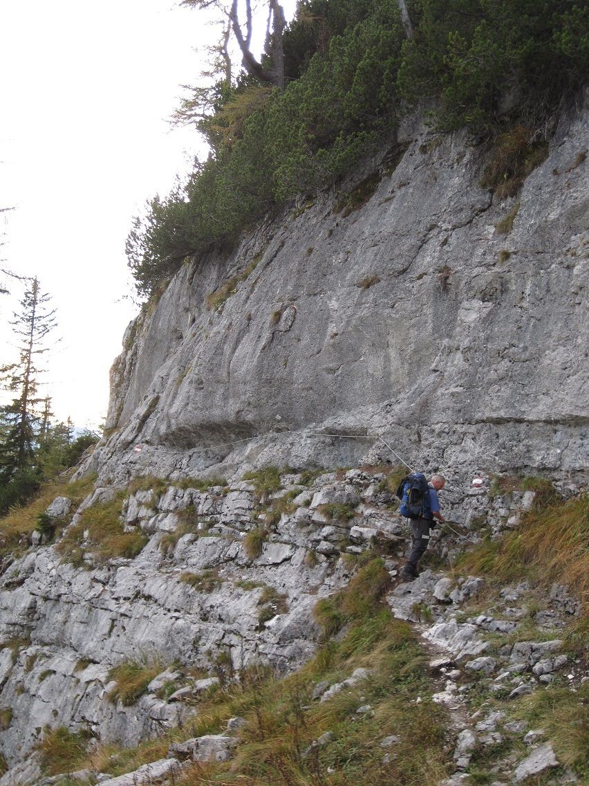
Condizioni dei sentieri
Asfalto
Ghiaia
(30)
Prato
(20)
Foresta
(20)
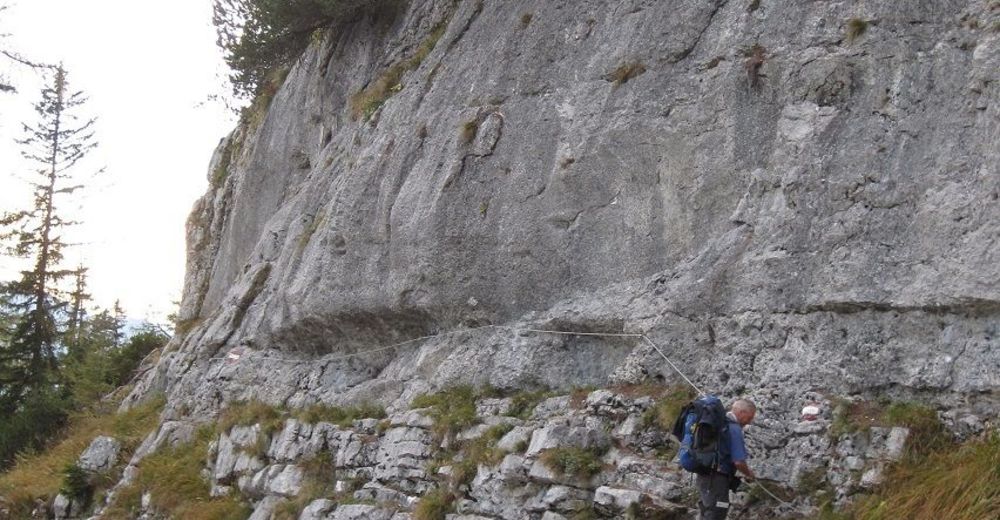
Roccia
(30)
Esposta
Altri tour nelle regioni
-
Ausseerland - Salzkammergut
3382
-
Bad Ischl
1646
-
Grundlsee
242