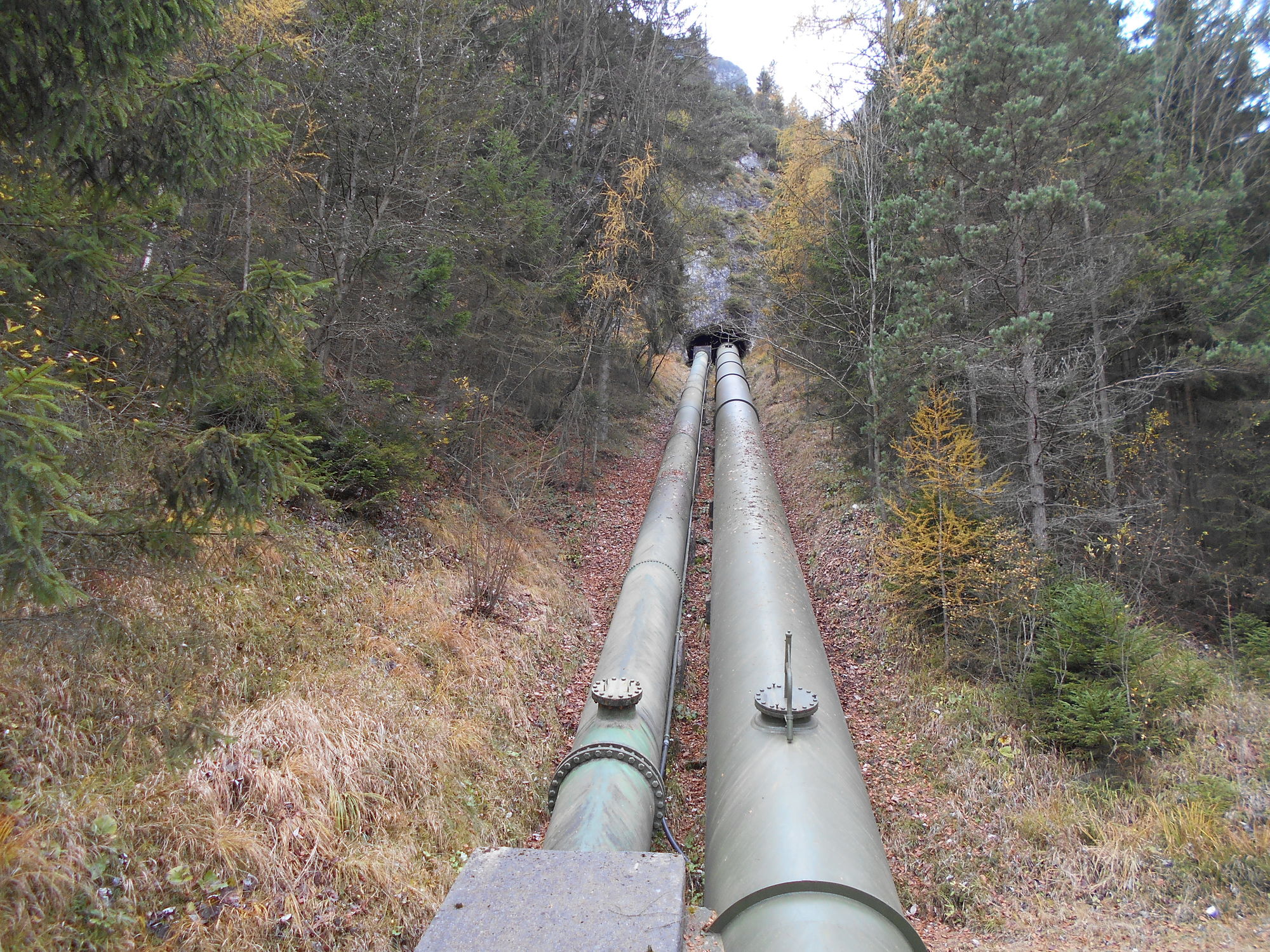
© gert gasperin

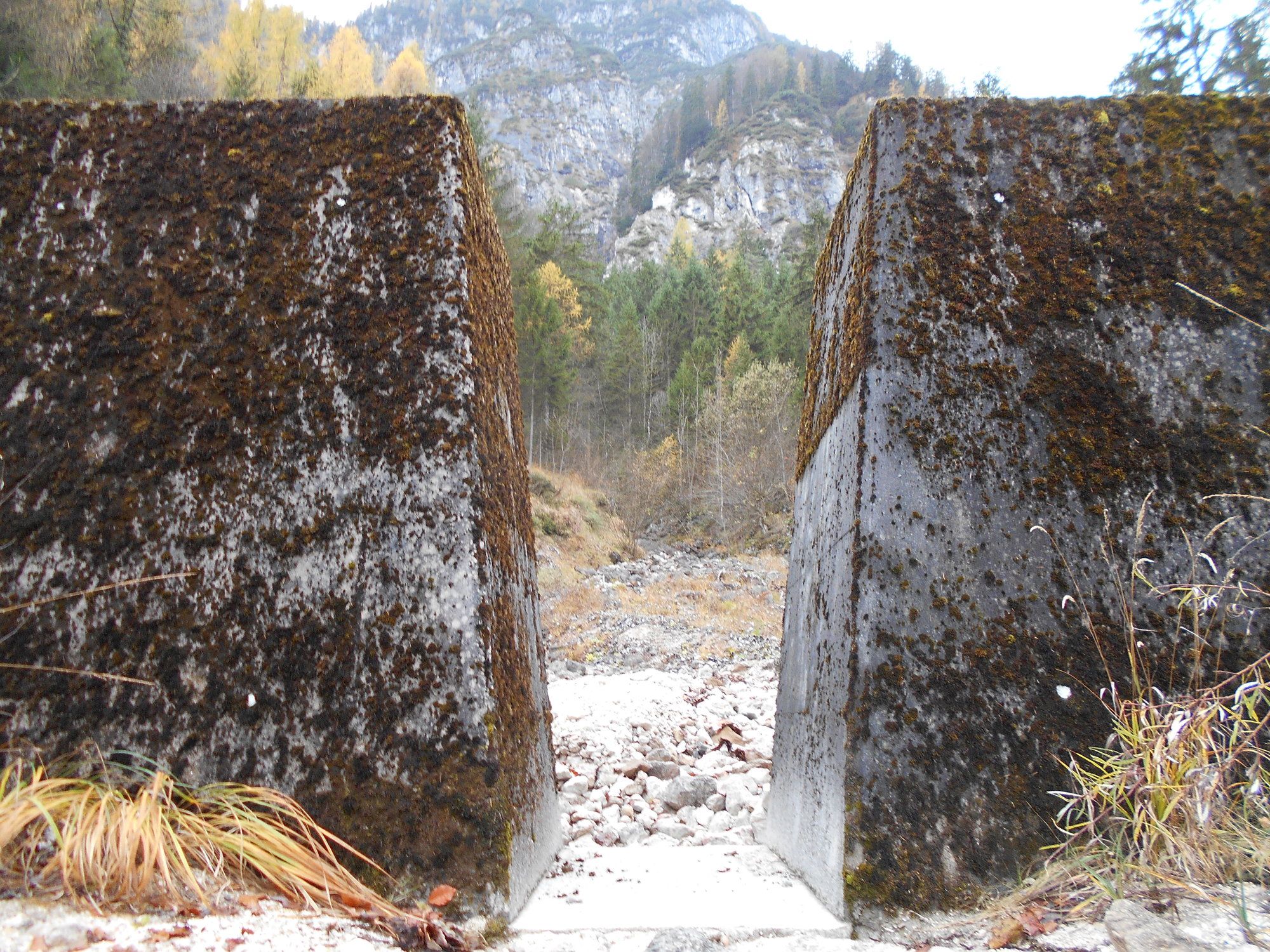
© gert gasperin

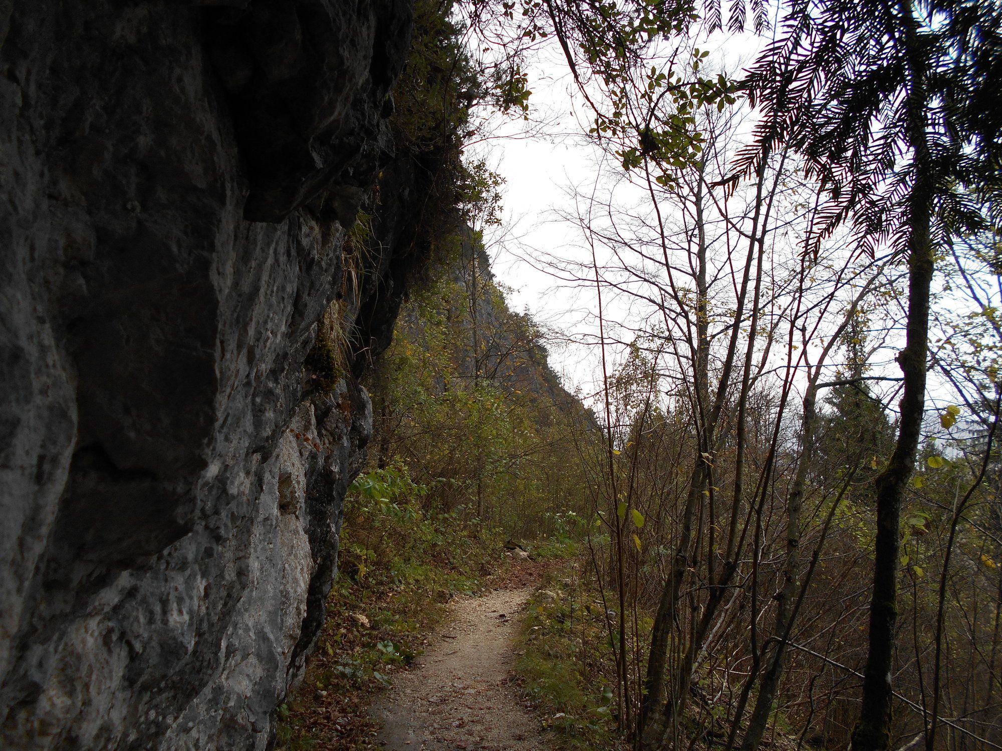
© gert gasperin

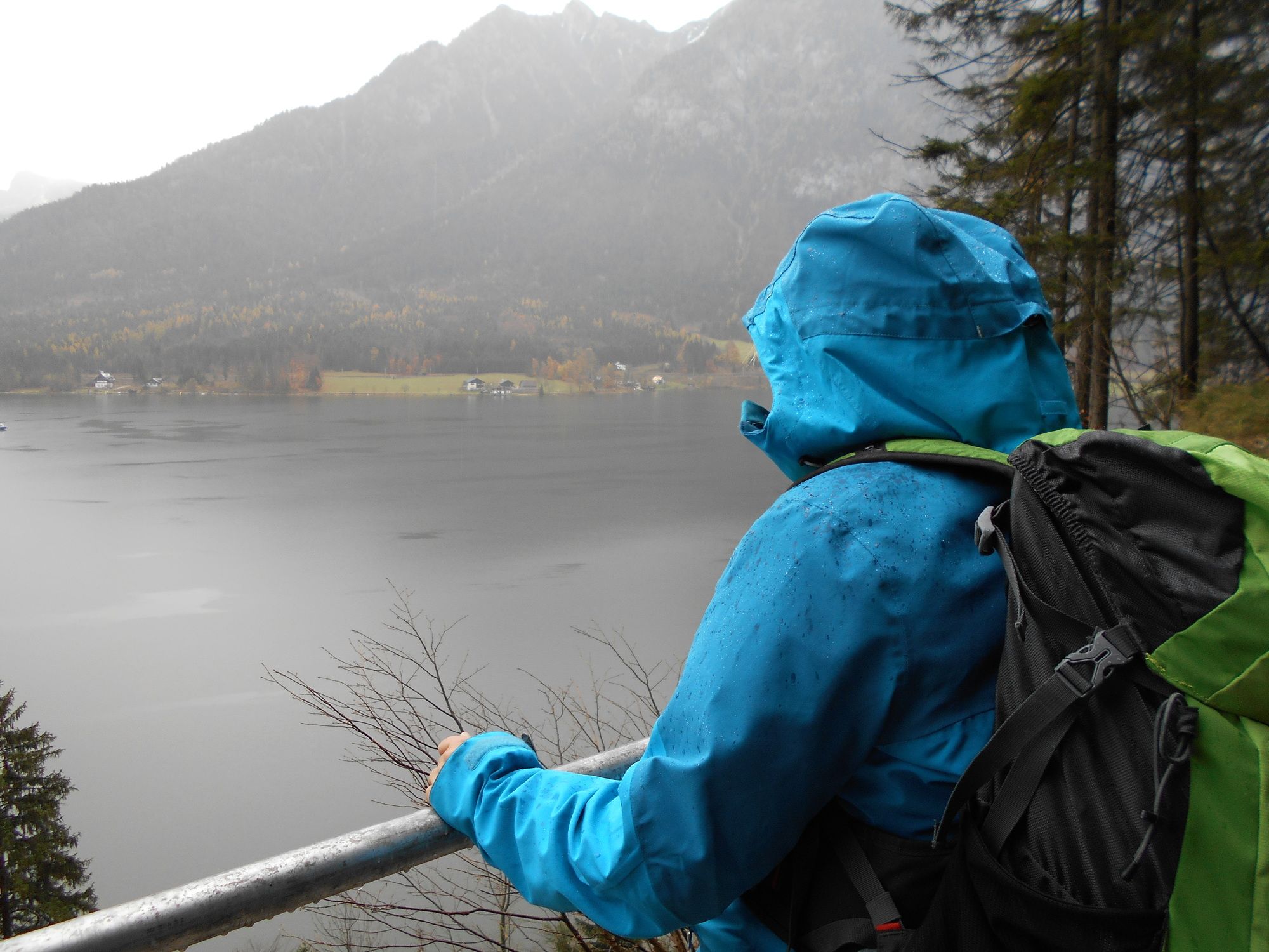
© gert gasperin

© gert gasperin

© gert gasperin

© gert gasperin

© gert gasperin

© gert gasperin

© gert gasperin
Dati percorsi
12,55km
497
- 659m
280hm
283hm
04:15h
- Difficoltà
-
facile
- Valutazione
-
- Punto di partenza
-
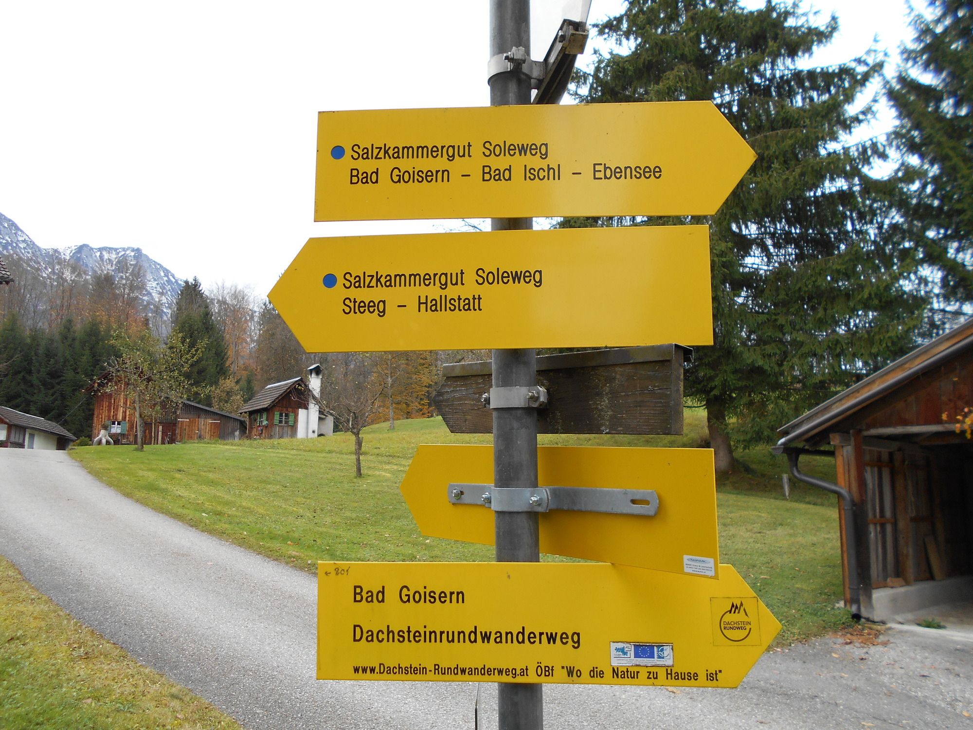
Bad Goisern, Bahnhof
- Percorso
-
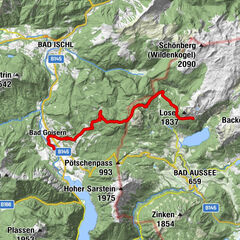
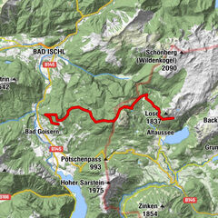
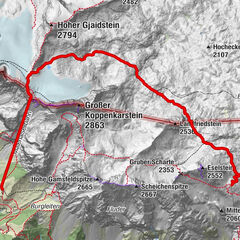
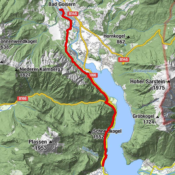
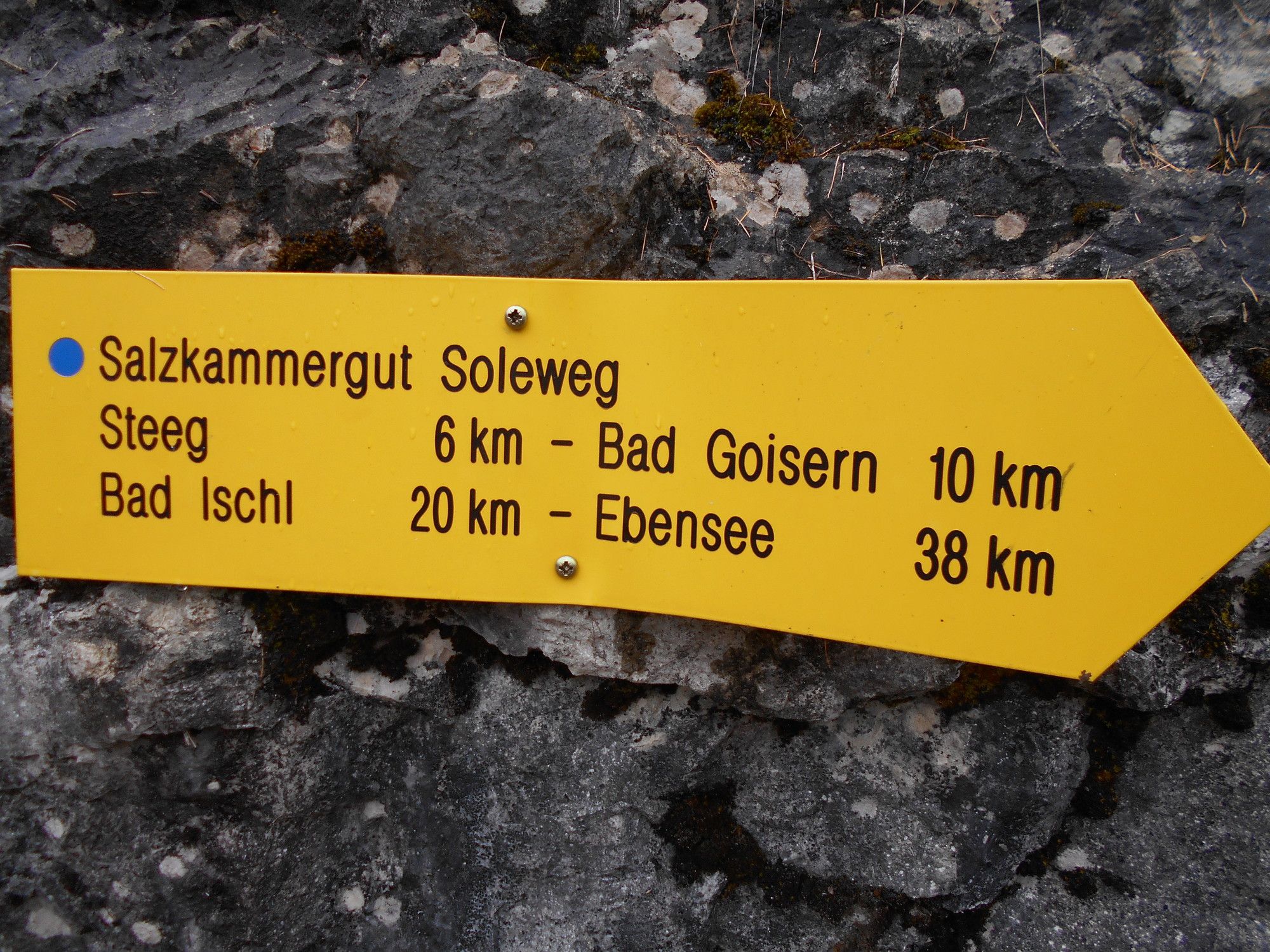
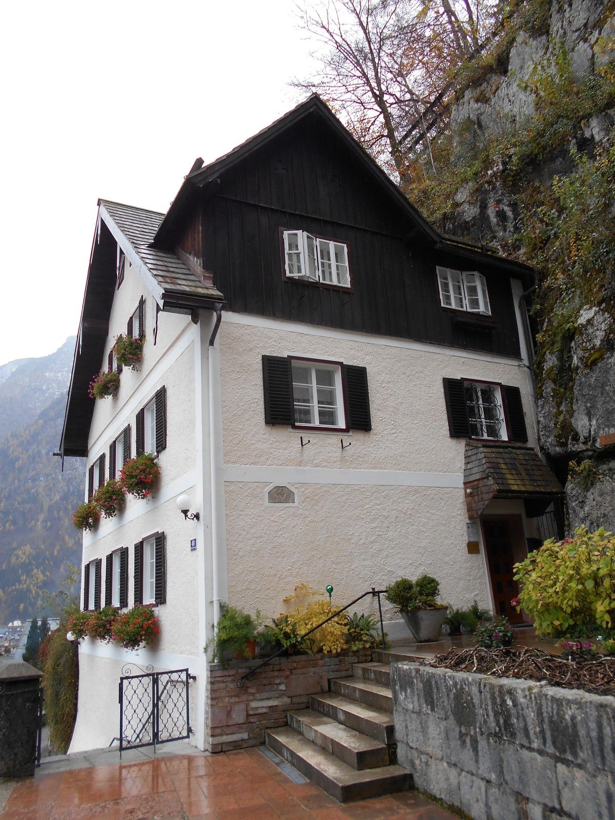
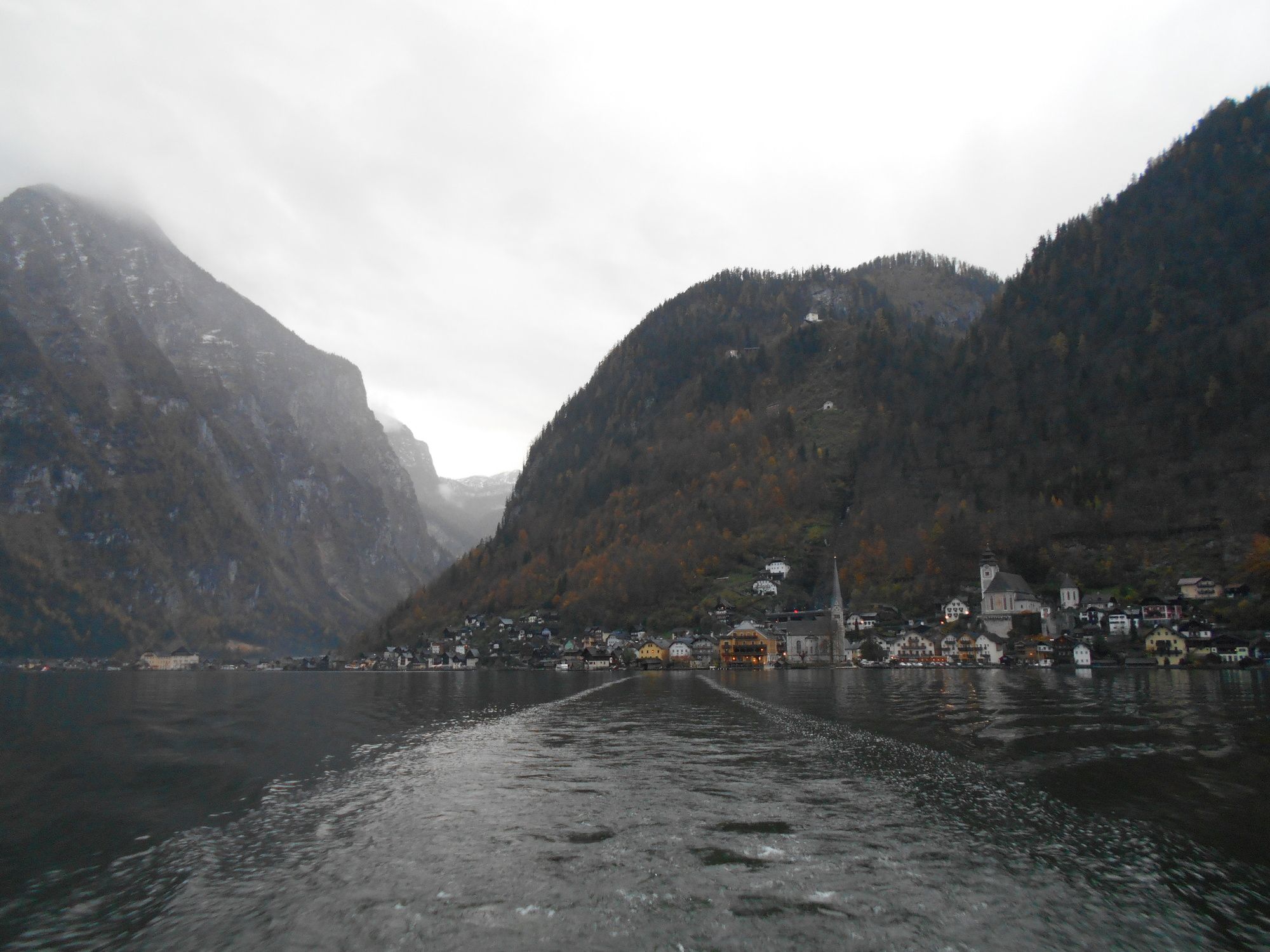
Bad GoisernBad Goisern am Hallstättersee0,1 kmGschwandt0,6 kmSteeg4,3 kmGosauzwang7,9 kmSt. Michaels Kapelle / Beinhaus11,1 kmPfarrkirche Maria am Berg11,1 kmEvangelische Kirche Hallstatt11,2 kmLahn11,8 kmHallstatt12,4 kmSpielplatz Ev. Kirchengarten12,5 kmATO Hallstatt markt(schiffstation)12,5 km
- La stagione migliore
-
genfebmaraprmaggiulugagosetottnovdic
- Punto più alto
- 659 m
- Destinazione
-
Hallstatt


GPS Downloads


Condizioni dei sentieri
Asfalto
Ghiaia
Prato
Foresta
Roccia
Esposta
Altri tour nelle regioni
-
Salzkammergut Oberösterreich
3082
-
Dachstein Salzkammergut
1702
-
Hallstatt
406