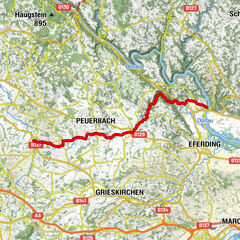
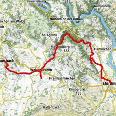
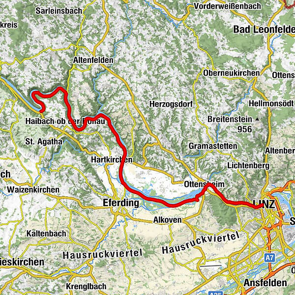
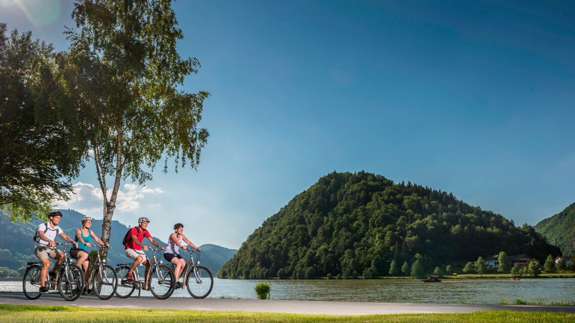
Danube Cycle Path Stage 2 South Bank: Schlögen - Linz

Percorso ciclabile
© WGD Donau Oberösterreich Tourismus GmbH/Hochhauser

- Descrizione rapida
-
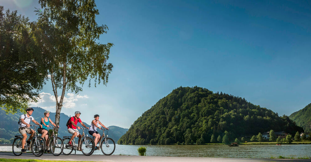
Shipbuilders & cathedrals – Culture on the wayside
- Difficoltà
-
facile
- Valutazione
-
- Percorso
-
SchlögenInzell3,8 kmKobling8,8 kmSommerberg24,2 kmAschach an der Donau26,4 kmLandgasthaus Dieplinger29,2 kmSchiffsanlegestelle29,2 kmBrandstatt29,3 kmGasthaus und Café Lackner29,4 kmSchiffanlegestelle29,5 kmFall40,8 kmWilhering Ufer42,9 kmOttensheimer Drahtseilbrücke43,3 kmOttensheim43,3 kmDonaubus43,5 kmGasthaus Dürnberg44,7 kmPuchenau West48,0 kmPuchenau49,4 kmSankt Andreas49,4 kmUrfahrwänd50,8 kmAlt-Urfahr52,5 kmNikolaikapelle52,7 kmDonaubus Anlegestelle52,8 kmLinz (266 m)52,9 km
- La stagione migliore
-
genfebmaraprmaggiulugagosetottnovdic
- Punto più alto
- 322 m
- Destinazione
-
Linz
- Profilo altimetrico
-

- Autore
-
Il tour Danube Cycle Path Stage 2 South Bank: Schlögen - Linz è utilizzato da outdooractive.com fornito.
GPS Downloads


Info generali
Punto di ristoro
Flora
Altri tour nelle regioni