Bike & Hike: Hochplett-Runde mit Wanderung Hochplettspitz


Dati percorsi
29,8km
472
- 1.030m
900hm
900hm
02:30h

- Descrizione rapida
-
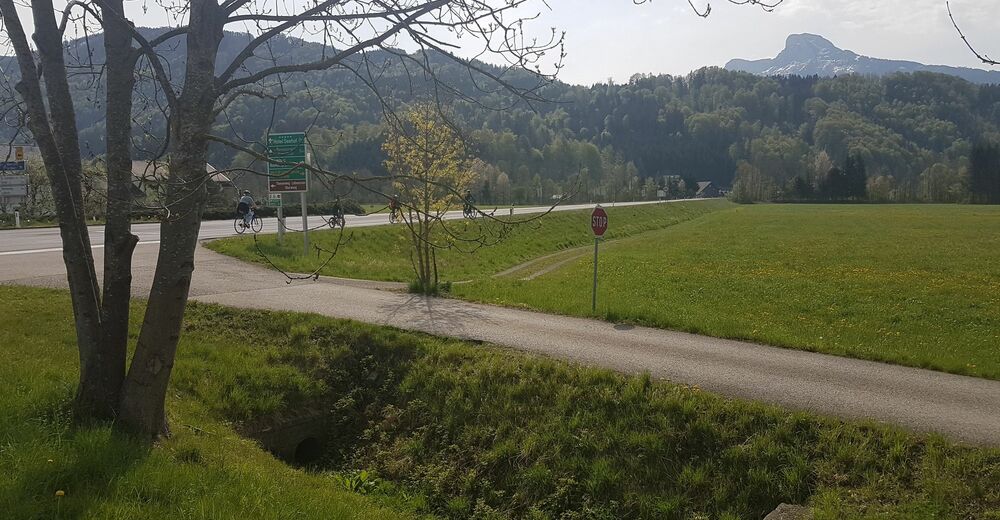
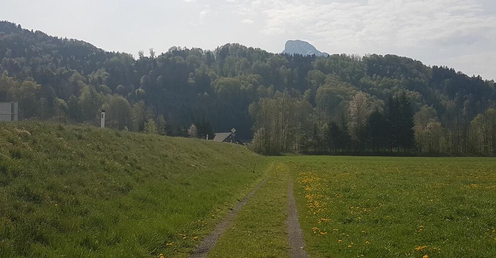
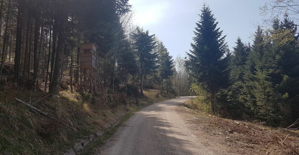
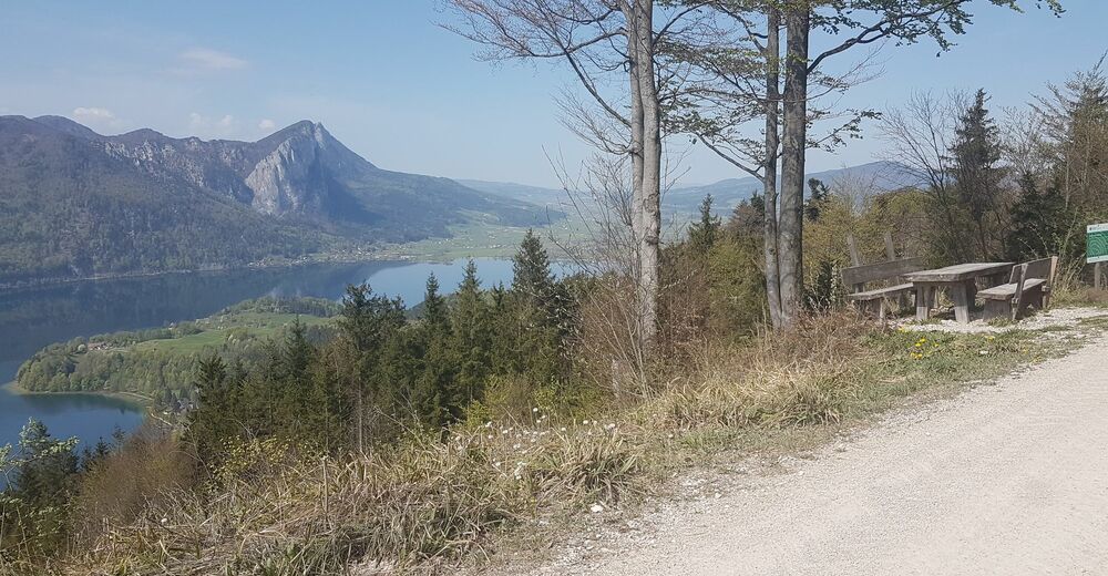
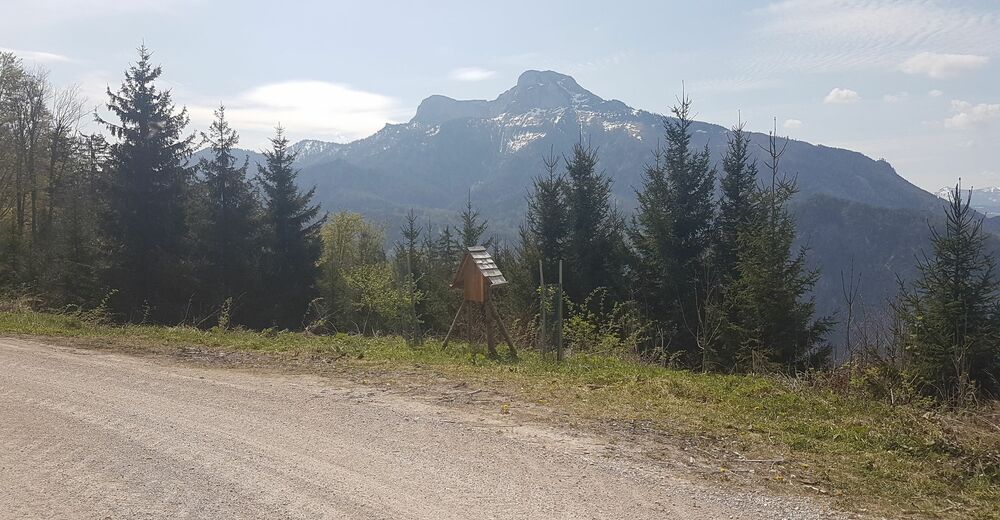
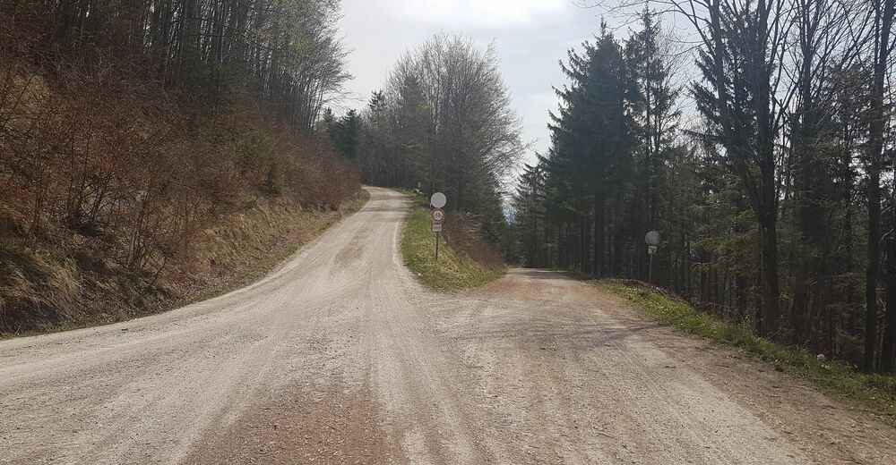
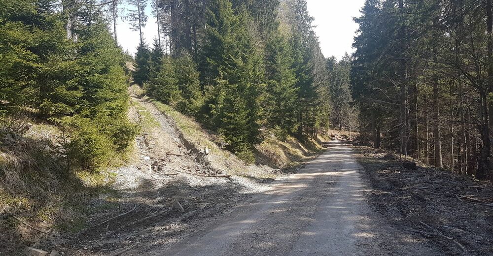
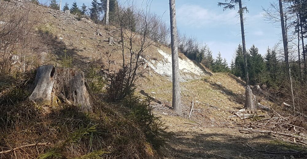
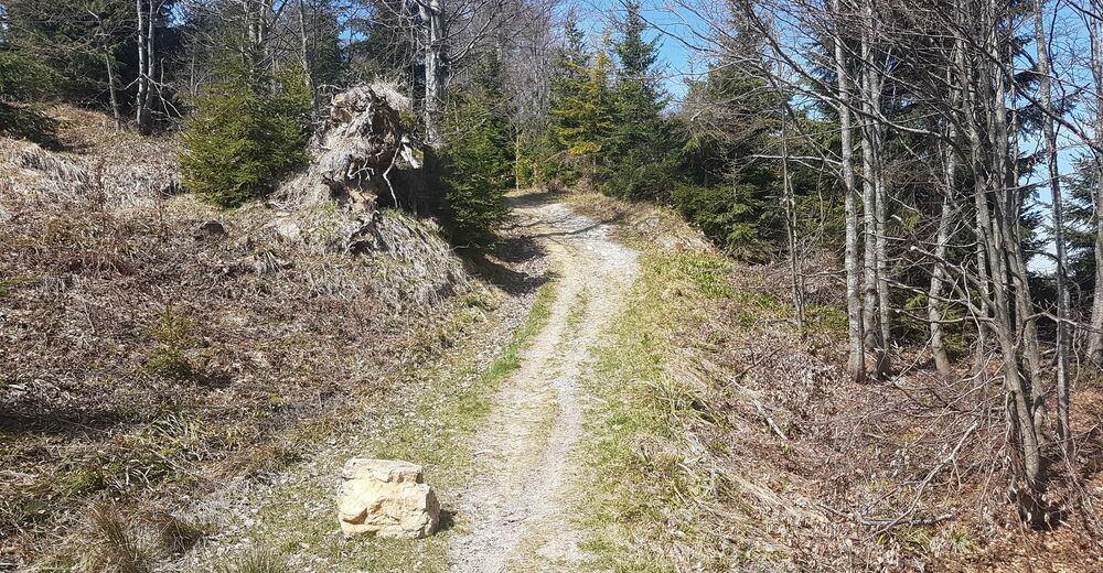
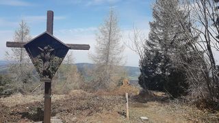
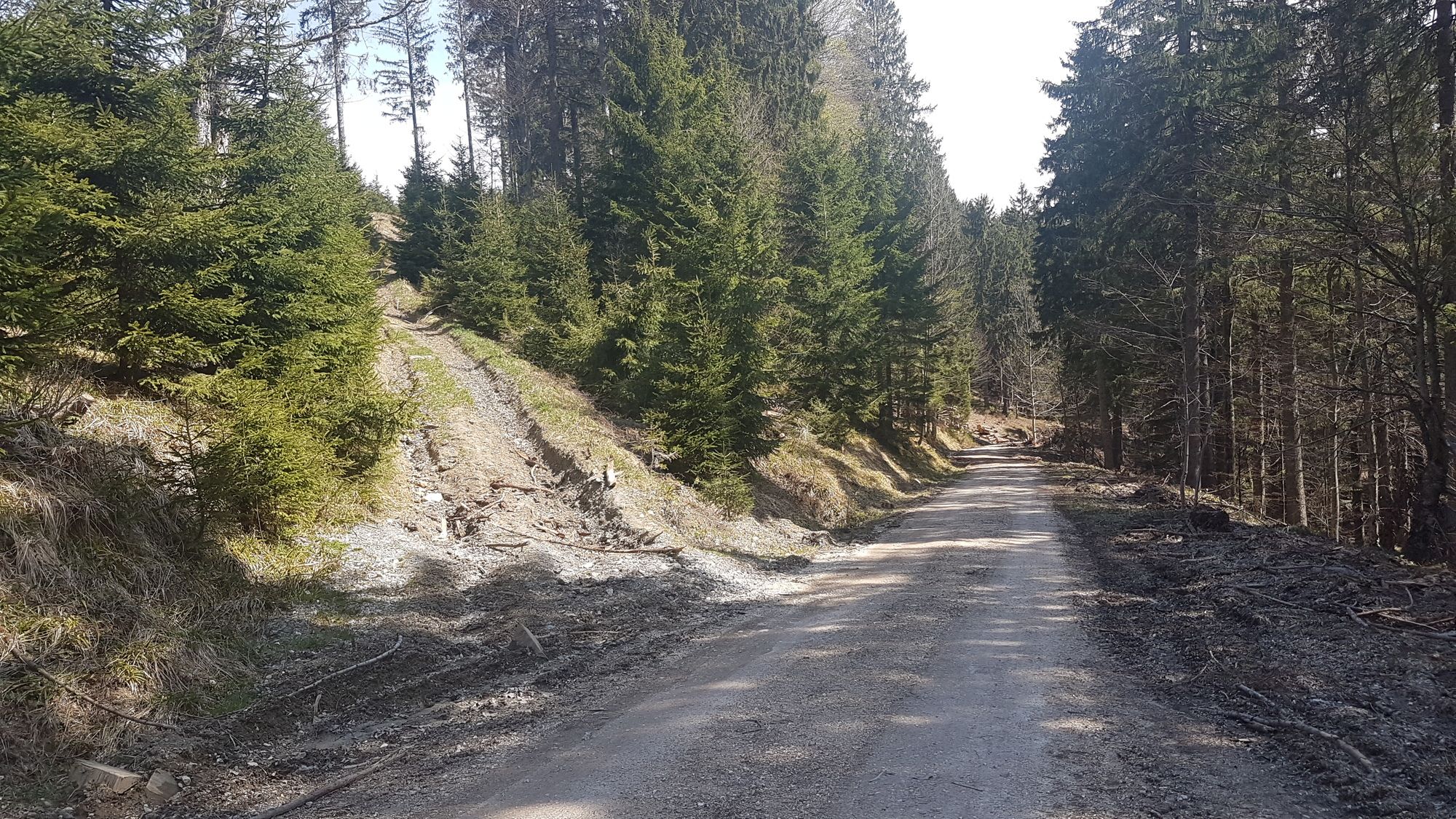
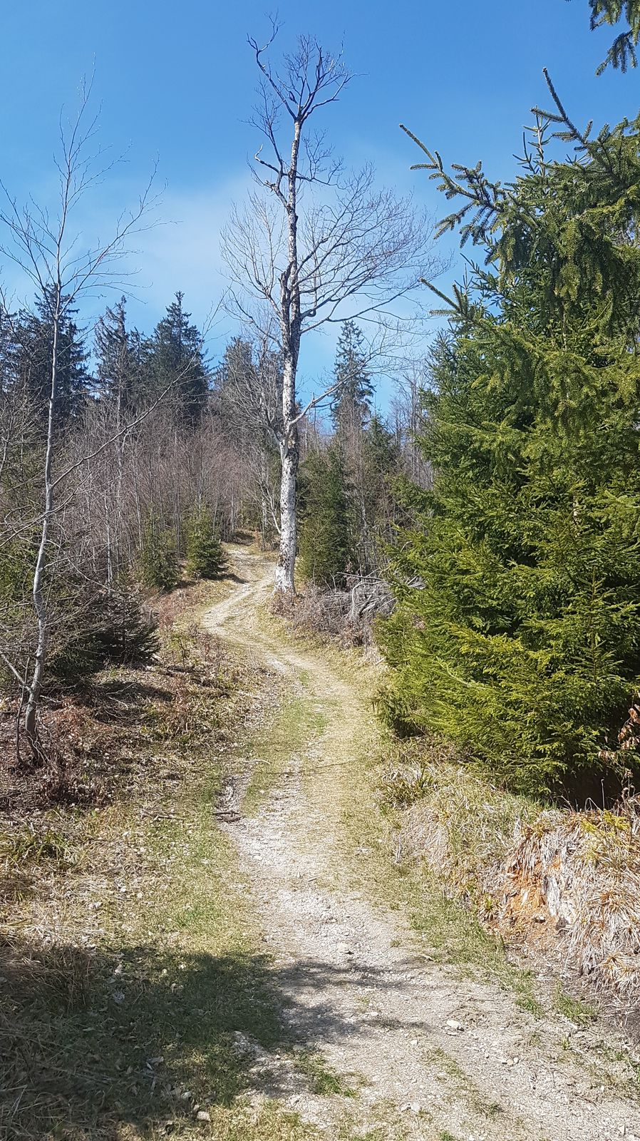
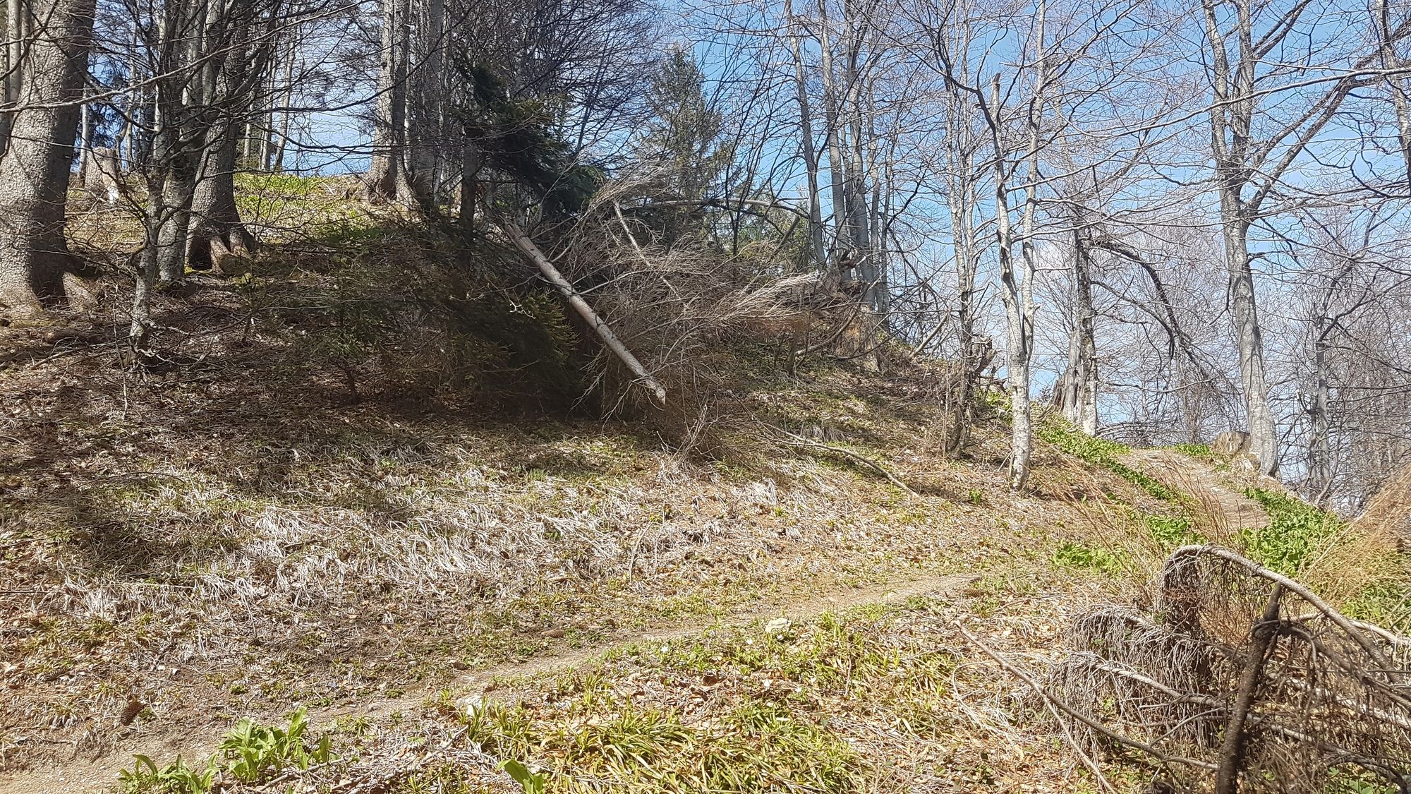
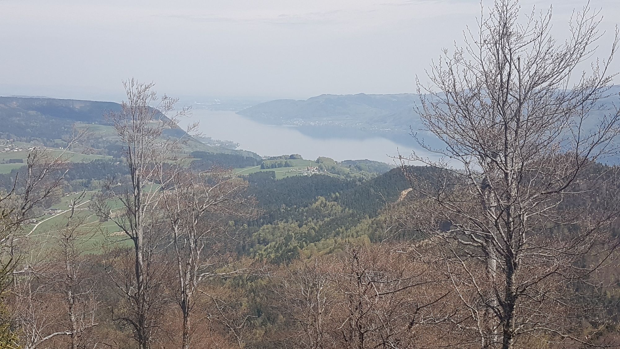
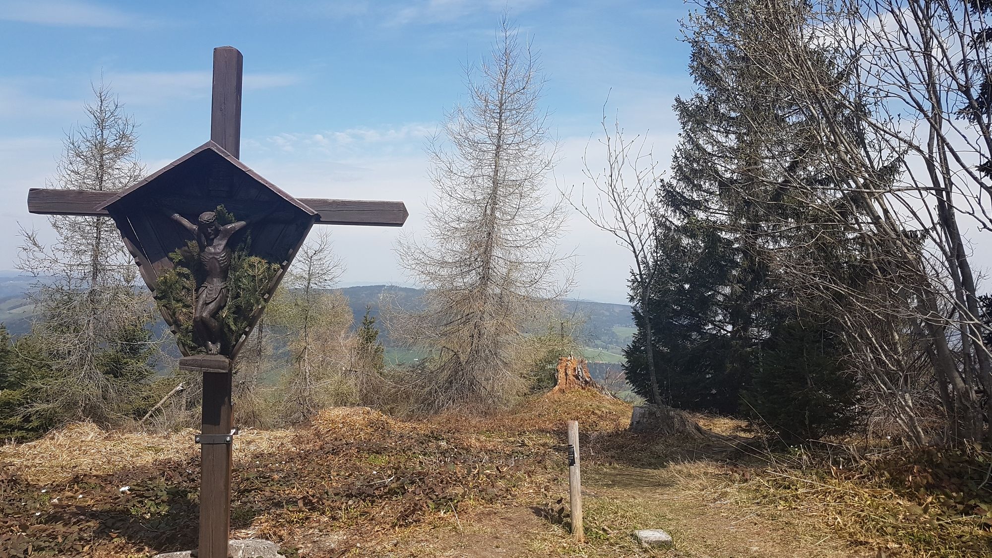
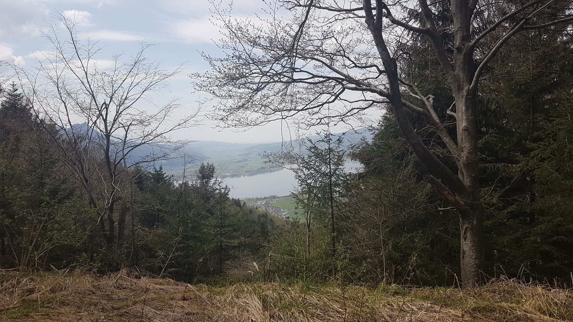
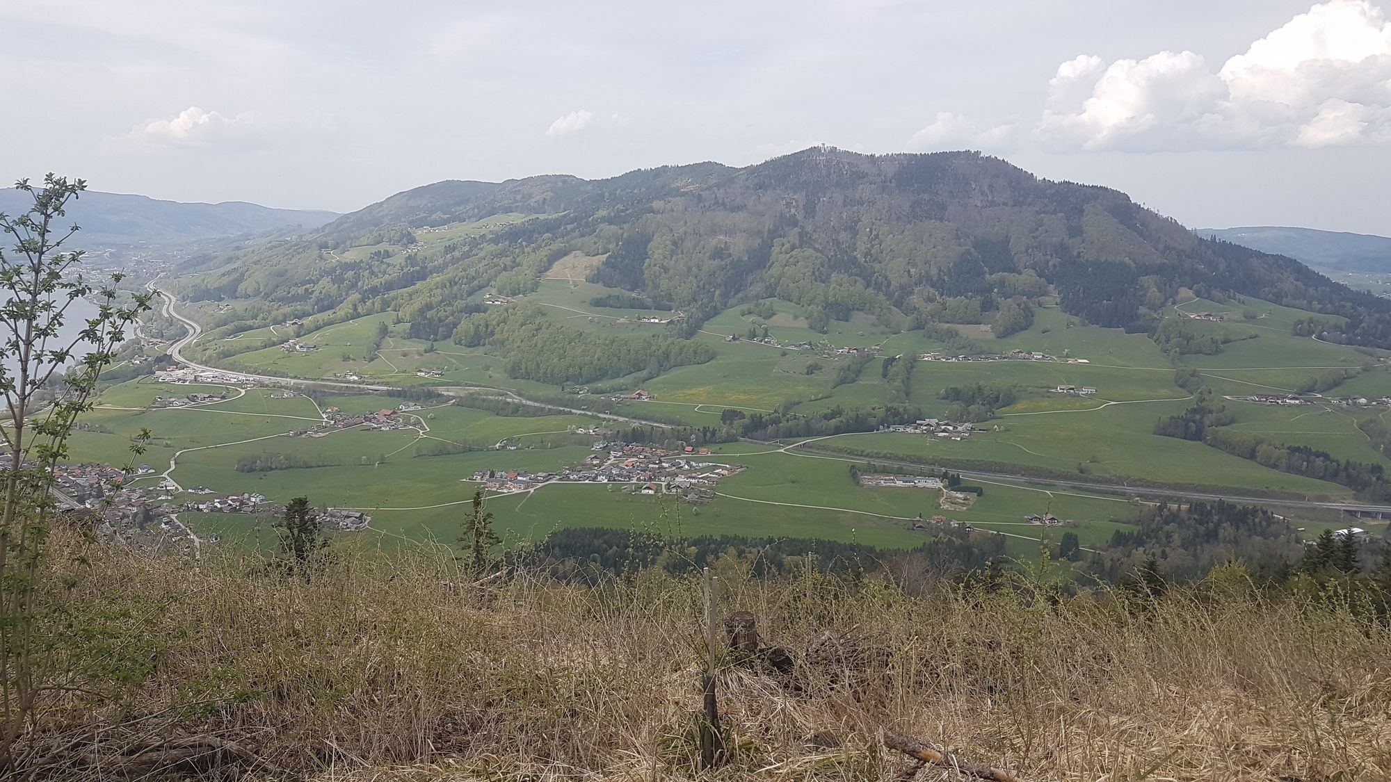
Runde um die Hochplettspitze mit Wanderung auf die Spitze. Schöne Wälder und Aussicht auf Mondsee und Attersee und nettem Wanderweg auf die Spitze.
- Difficoltà
-
facile
- Valutazione
-
- Punto di partenza
-
Loibichl
- Percorso
-
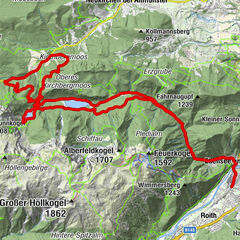
Maierhof0,6 kmBergen2,3 kmHochplettspitze (1.134 m)10,8 kmAllinaquelle14,0 kmBergen28,4 kmMaierhof30,1 km
- La stagione migliore
-
genfebmaraprmaggiulugagosetottnovdic
- Punto più alto
- Hochplett (1.030 m)
- Destinazione
-
Hochplettspitz
- Videos
-
 14:31
14:31


GPS Downloads


Percorsi
Asfalto
Ghiaia
Foresta
Vie di montagna
Singletrail
Trial
Traffico
Altri tour nelle regioni