Via Dinarica HR-W-12 From Alan to central Velebit


- Descrizione rapida
-
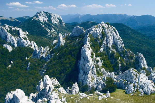
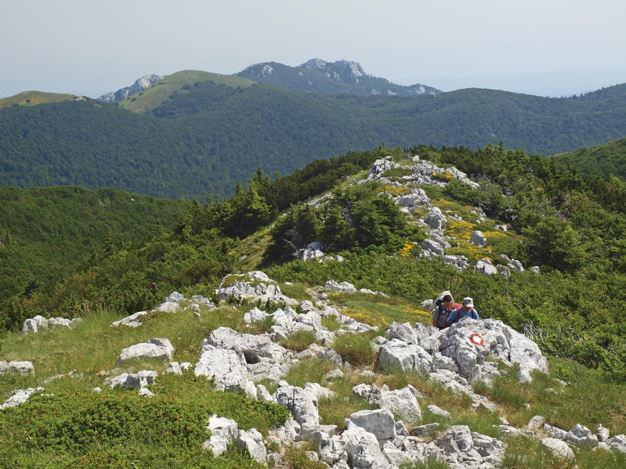
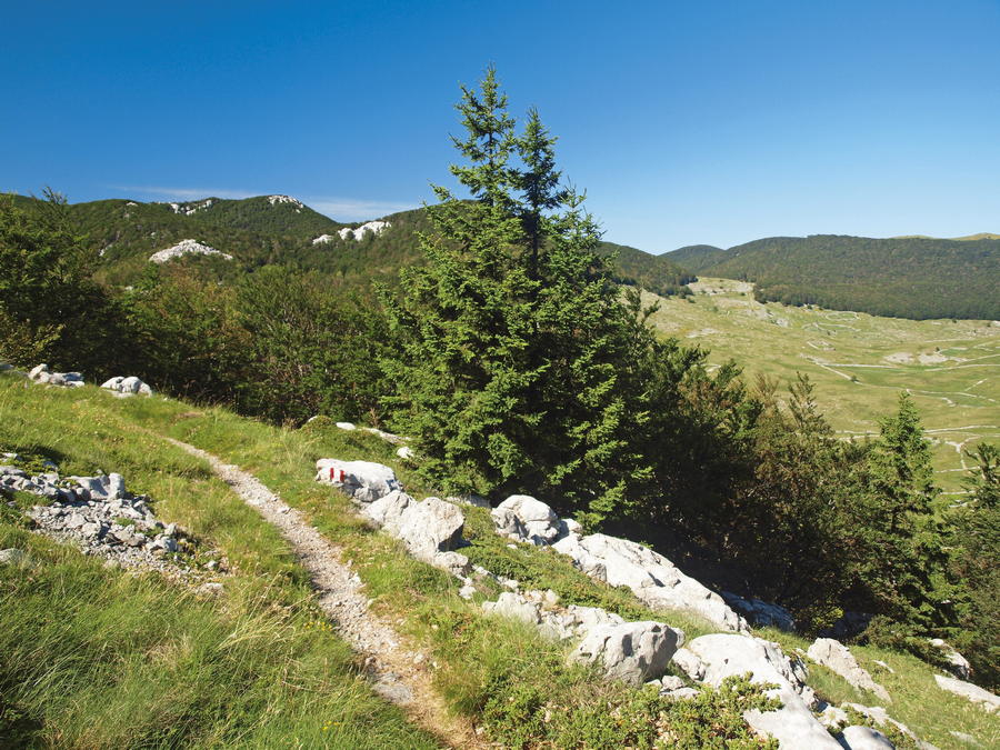
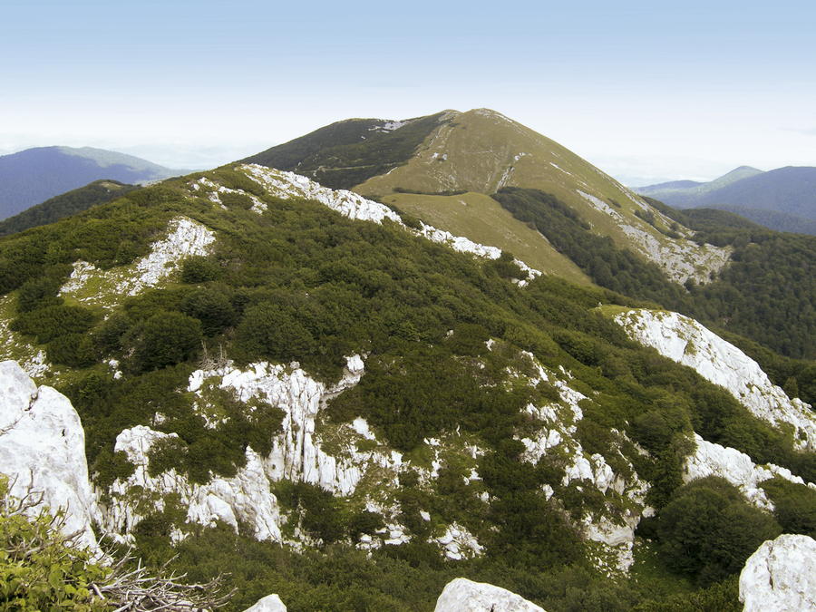
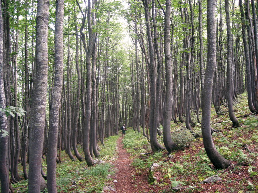
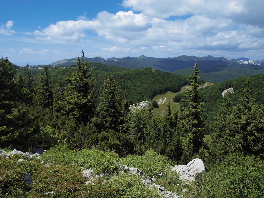
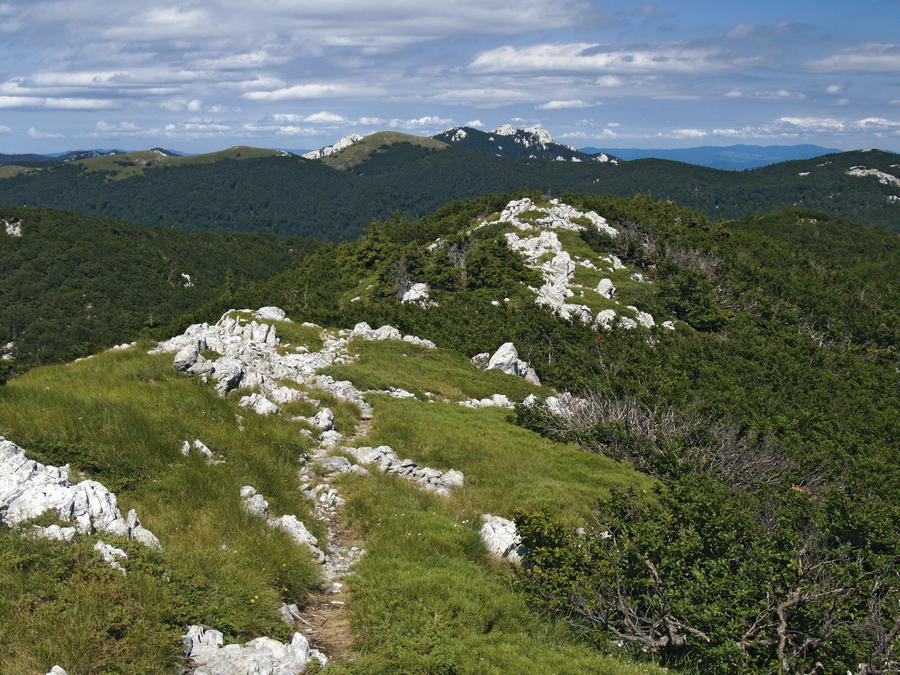
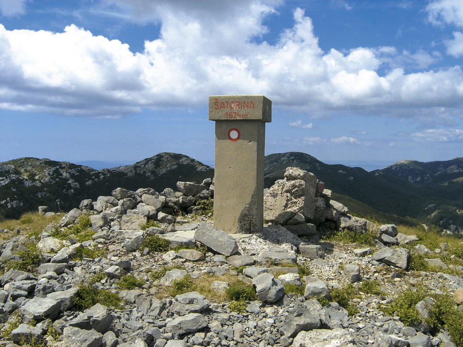
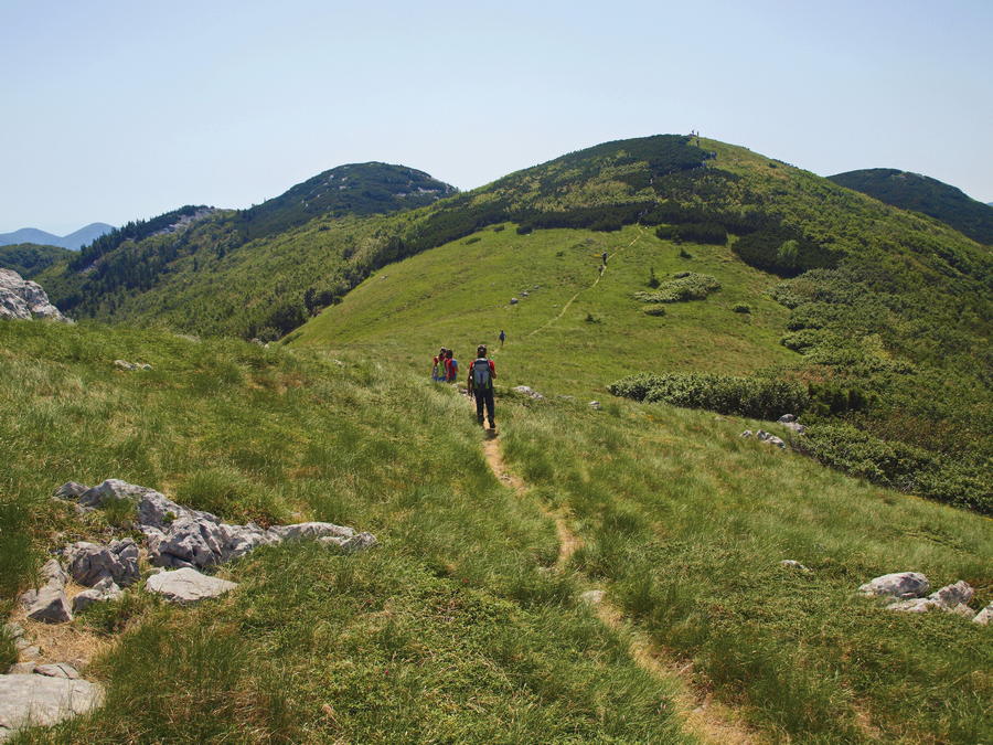
The wider zone of Alan is actually an area of several spacious grassland valleys and meadows, with picturesque peaks rising above, predominantly oriented towards the littoral side of Velebit. In addition to the beauty of the surrounding peaks, the area of Alan is also popular due to the Alan mountain hut located along the route of the Velebit Hiking Trail (VPP) and the Premužić Trail. Views towards the sea from this area, with islands of Rab and Pag clearly visible, belong to the most impressive sights of Velebit. Šatorina and the high mountain area around it are the key areas of central Velebit. Below Šatorina and a somewhat lower area of Matijević brijeg, there is a range of abandoned karst fields on the littoral side – they represented a very important source of livelihood for the locals and their livestock until the mid-20th century. On the continental side of the mountain, below Šatorina, we come across the valley of Štirovača cut deeply into the terrain and covered in valuable and well known virgin forest. In the area from Alan to Ravni dabar, hikers can use mountain shelters at Ograđenica and Skorpovac, as well as the facility of Kugina kuća on the road that links Štirovača and Dabri. These facilities serve as main support for climbs to the peaks of central Velebit.
- Difficoltà
-
intermedio
- Valutazione
-
- Percorso
-
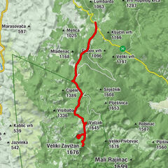
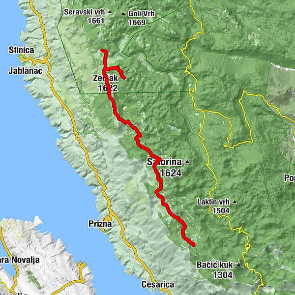
Kosica0,3 kmZečjak (1.622 m)3,5 kmSkorpovac24,0 km
- La stagione migliore
-
genfebmaraprmaggiulugagosetottnovdic
- Punto più alto
- 1.604 m
- Destinazione
-
Mountain hut Skorpovac
- Profilo altimetrico
-
 © outdooractive.com


-

-
AutoreIl tour Via Dinarica HR-W-12 From Alan to central Velebit è utilizzato da outdooractive.com fornito.