


- Descrizione rapida
-
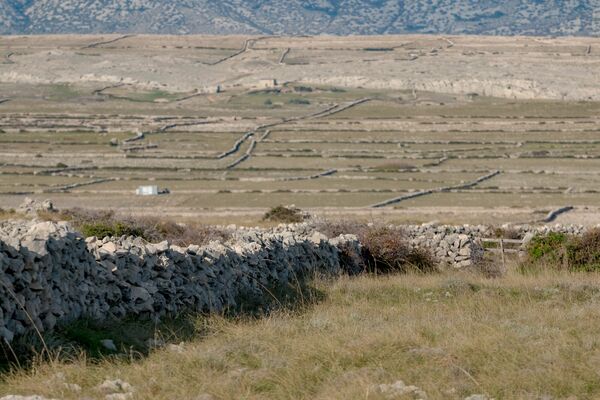
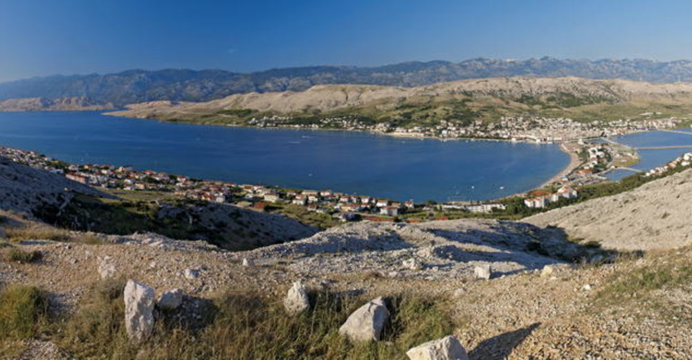
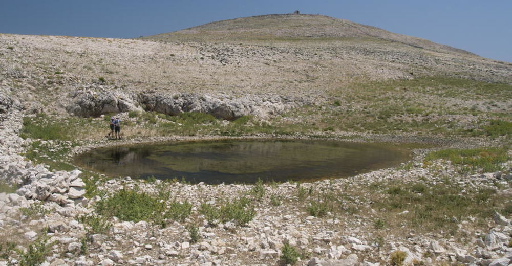
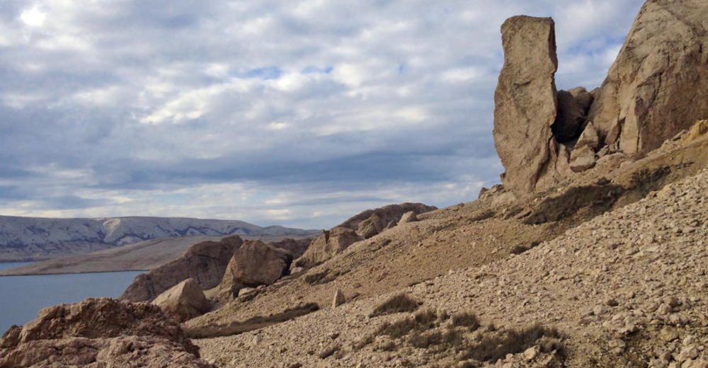
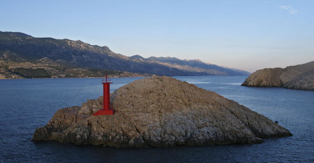
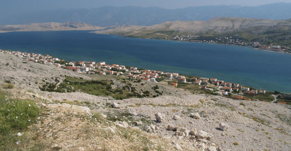
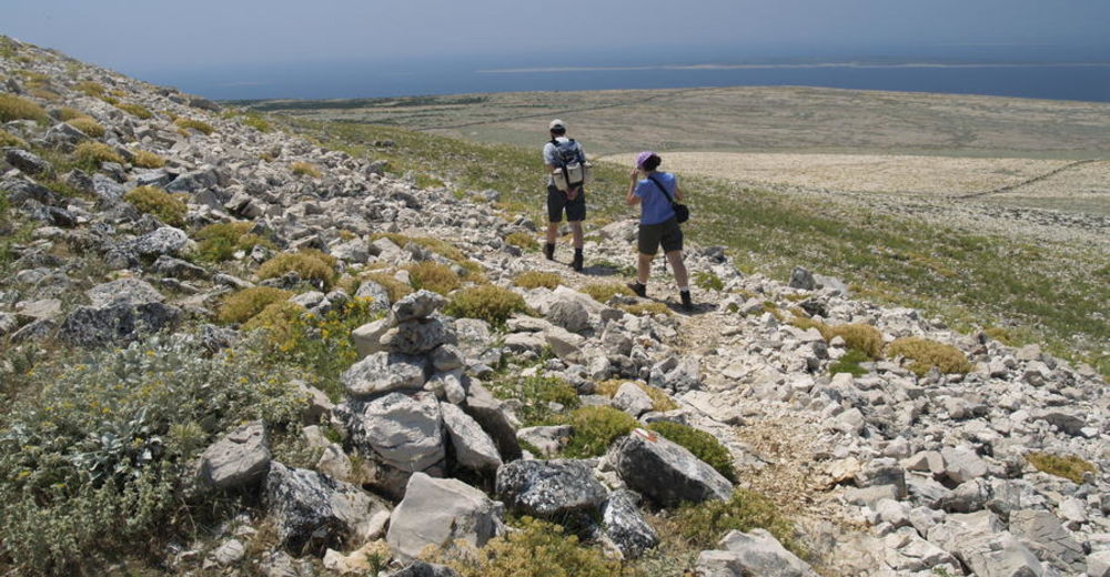
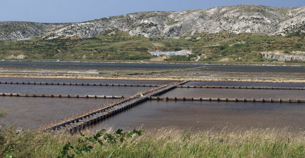
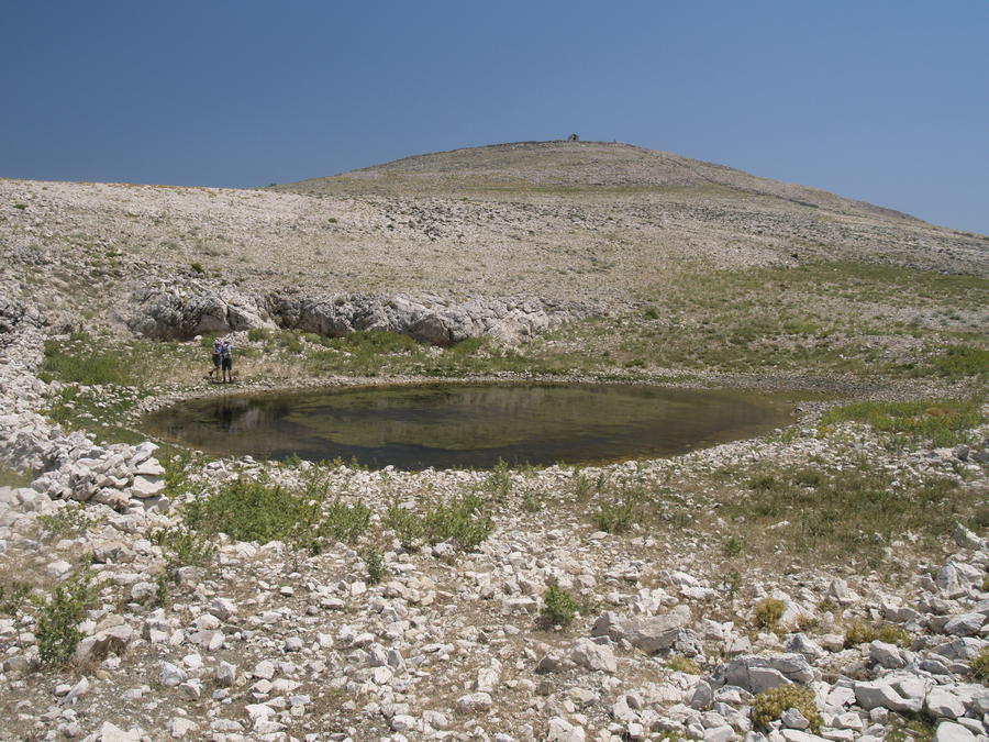
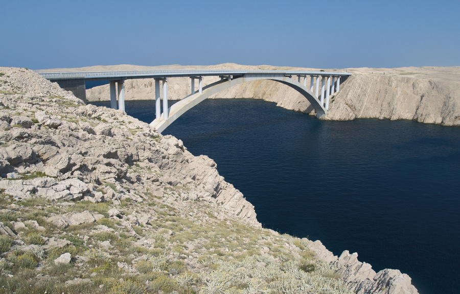
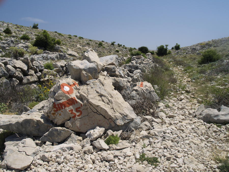
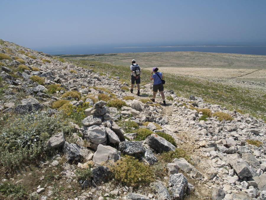
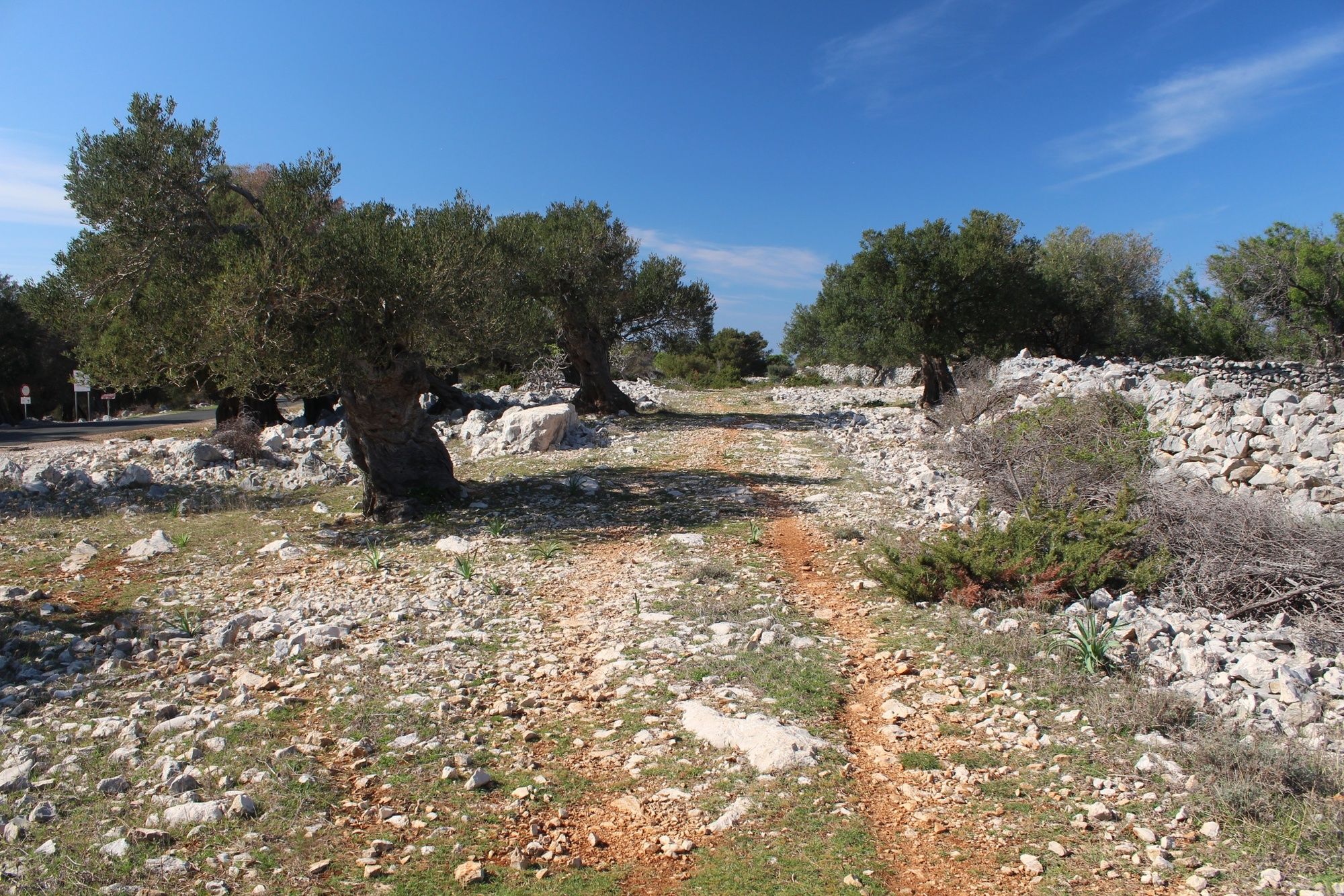
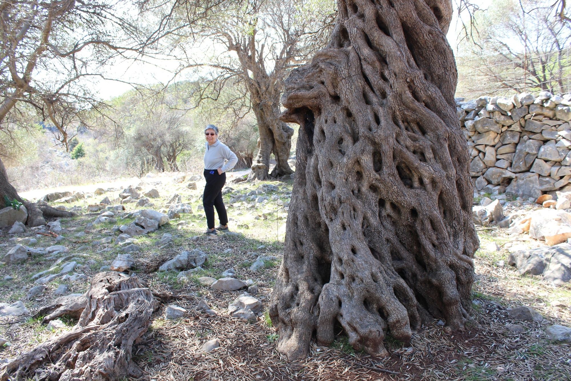
The island of Pag is the most indented island of the Adriatic, and also the island with the highest number of recognizable features. It is renowned for its lace, salt, cheese and lamb. In terms of relief and geology, Pag is a continuation of neighboring landmass. The eastern side of the island is higher and steeper, with pronounced rock faces that are completely bare and rugged. Pag is considered to be the barest island of the Adriatic, since as much as 86 percent of its surface is without vegetation cover. Wide rocky areas on the island are crisscrossed by a network of picturesque dry stone walls that once played an important role in livestock breeding and in protecting the soil against the bora wind. On the northern peak of the island, at the settlement of Lun, there are renowned olive groves of Lun with over 80,000 olive trees, including several trees over a thousand years old. Next to Metajna, we come across intriguing forms of stone and sandstone, shaped by sea, rain and wind. In Novalja, there are interesting remains of a Roman aqueduct, called Talijanova buža. The highest peak of the island is Sveti Vid, located in the center of the island. The landscape around the city of Pag is particularly picturesque, and the Pag saltworks are a very interesting site too.
- Difficoltà
-
intermedio
- Valutazione
-
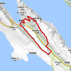
- Percorso
-
Tavernelle0,1 kmPunta Loni1,4 kmBorovićevi stani10,1 kmBonaparte11,8 kmSv. Vid12,2 kmVidasovi Stani12,4 kmCrikvica Sv. Ivana13,9 kmŠkunca Stani15,7 kmŠankovi Stani17,3 kmNovaglia20,0 kmBistro Novalja22,0 kmGaja23,2 kmKolan30,8 kmSveti Vid (349 m)34,7 kmSveta Marija35,6 kmNemčić36,7 kmDubrava36,9 kmBosciana37,3 kmVodice40,2 kmKapelica Sv. Ante41,6 kmPago41,9 kmCrkva Sv. Frane42,1 kmGorizia49,4 kmVercici51,8 kmVilla Vecchia53,5 kmKukovići54,0 kmMagassi55,9 kmDignisca56,2 kmMiscovizzi60,5 kmPrlinac (51 m)62,5 kmMiletići65,7 kmBenići66,2 kmRtina67,1 kmRažanac72,6 kmCrkva Gospe od Ružarija72,8 km
- La stagione migliore
-
genfebmaraprmaggiulugagosetottnovdic
- Punto più alto
- 332 m
- Destinazione
-
Ražanac
- Profilo altimetrico
-
 © outdooractive.com


-

-
AutoreIl tour Via Dinarica HR-B-08 Island of Pag è utilizzato da outdooractive.com fornito.