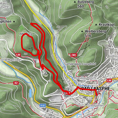
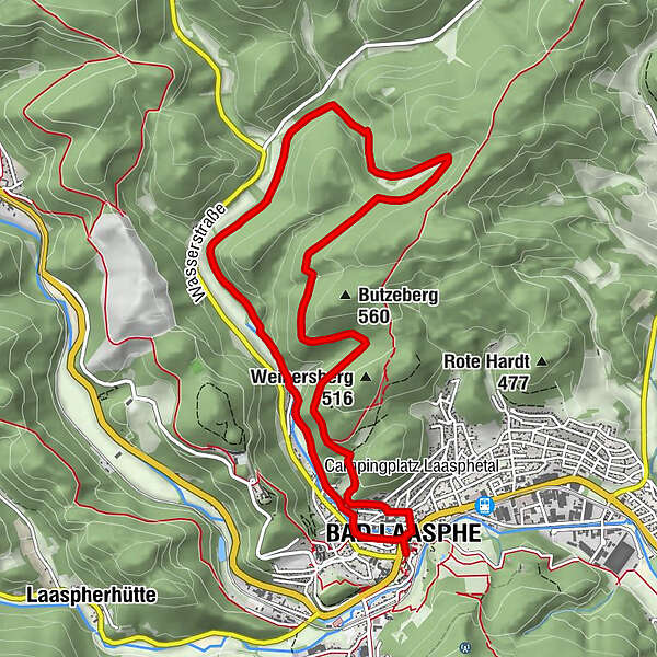
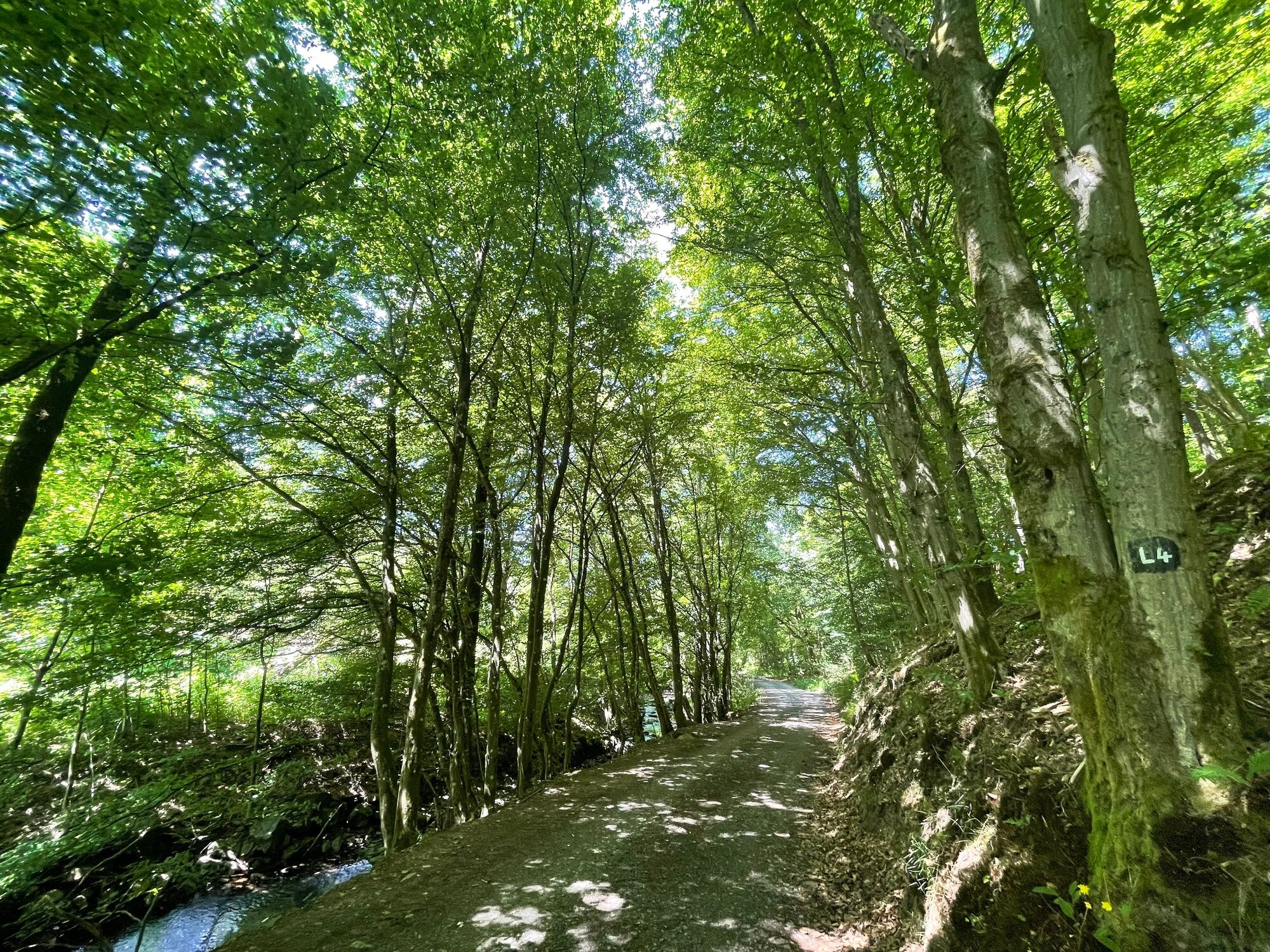
L4 - Ortswanderweg Bad Laasphe "Laasphetal und Butzeberg"

Escursionismo

© TKS Bad Laasphe GmbH - Petra Markus

© Outdooractive – 3D Videos

© TKS Bad Laasphe GmbH - vr easy Stefan Klenke

© TKS Bad Laasphe GmbH - vr-easy Stefan Klenke

© TKS Bad Laasphe GmbH - Petra Markus

© TKS Bad Laasphe GmbH - Petra Markus

© TKS Bad Laasphe GmbH - Petra Markus

© TKS Bad Laasphe GmbH - Petra Markus

© TKS Bad Laasphe GmbH - Petra Markus

© TKS Bad Laasphe GmbH - Petra Markus

- Descrizione rapida
-
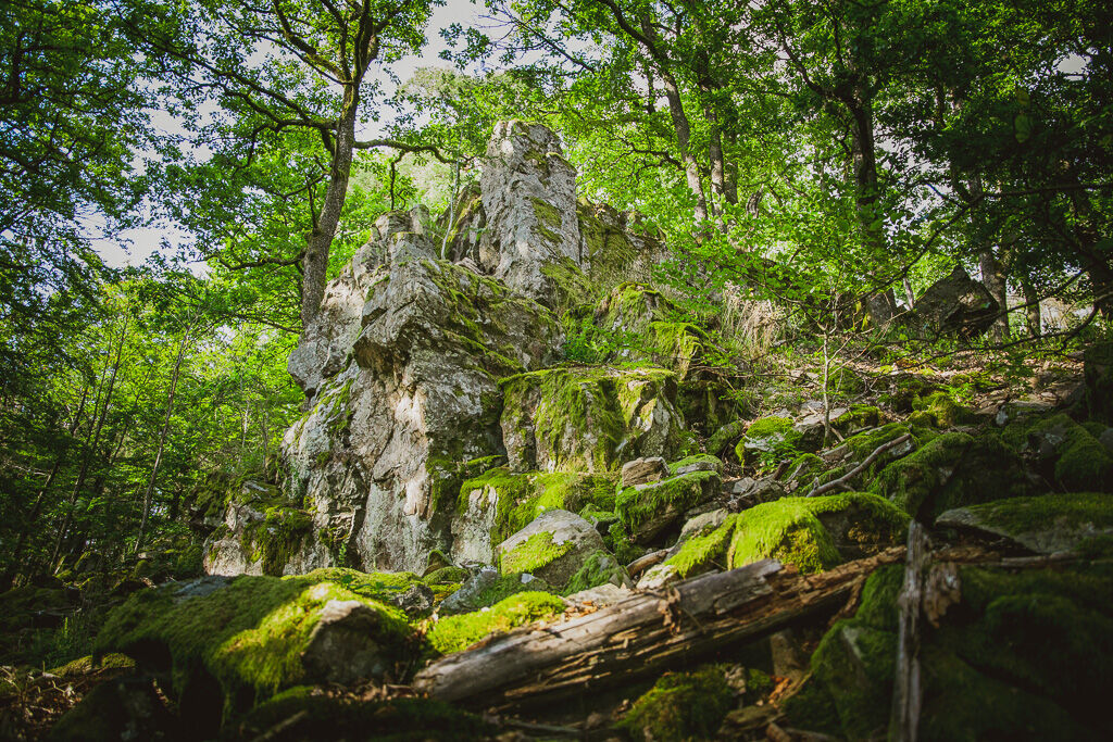
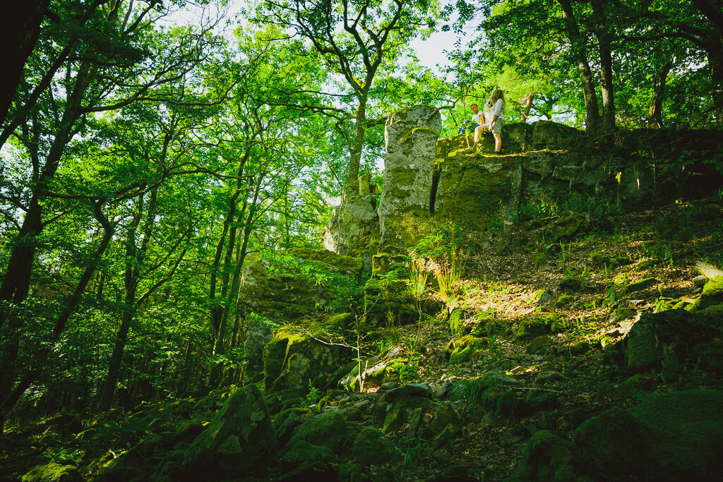
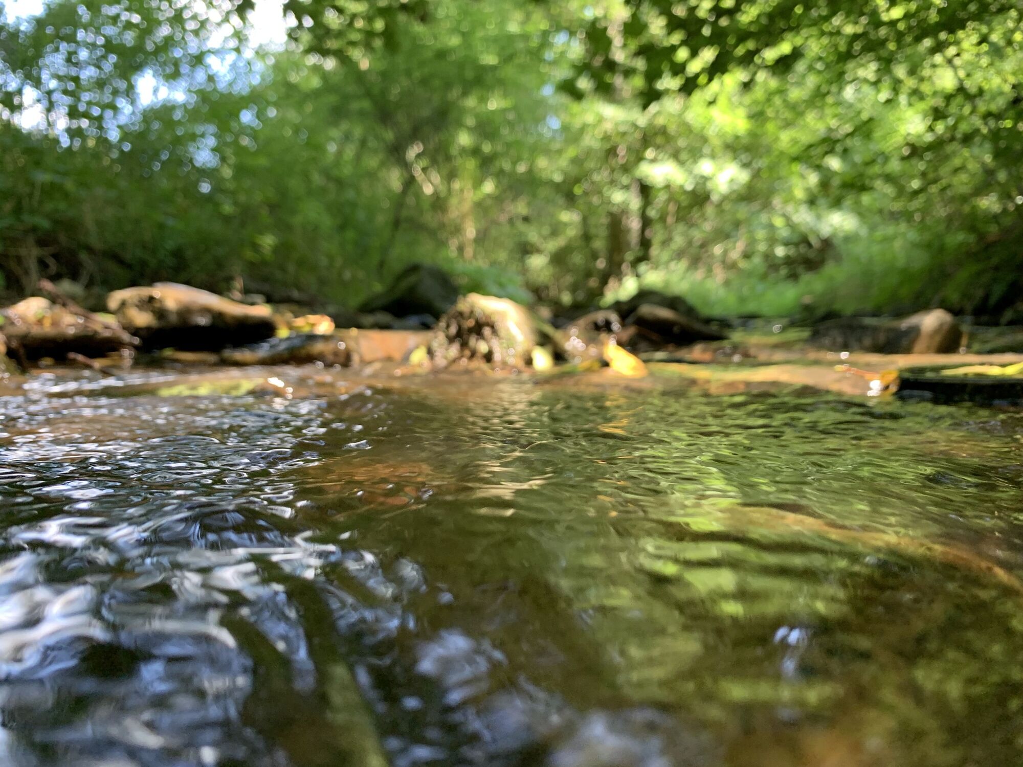
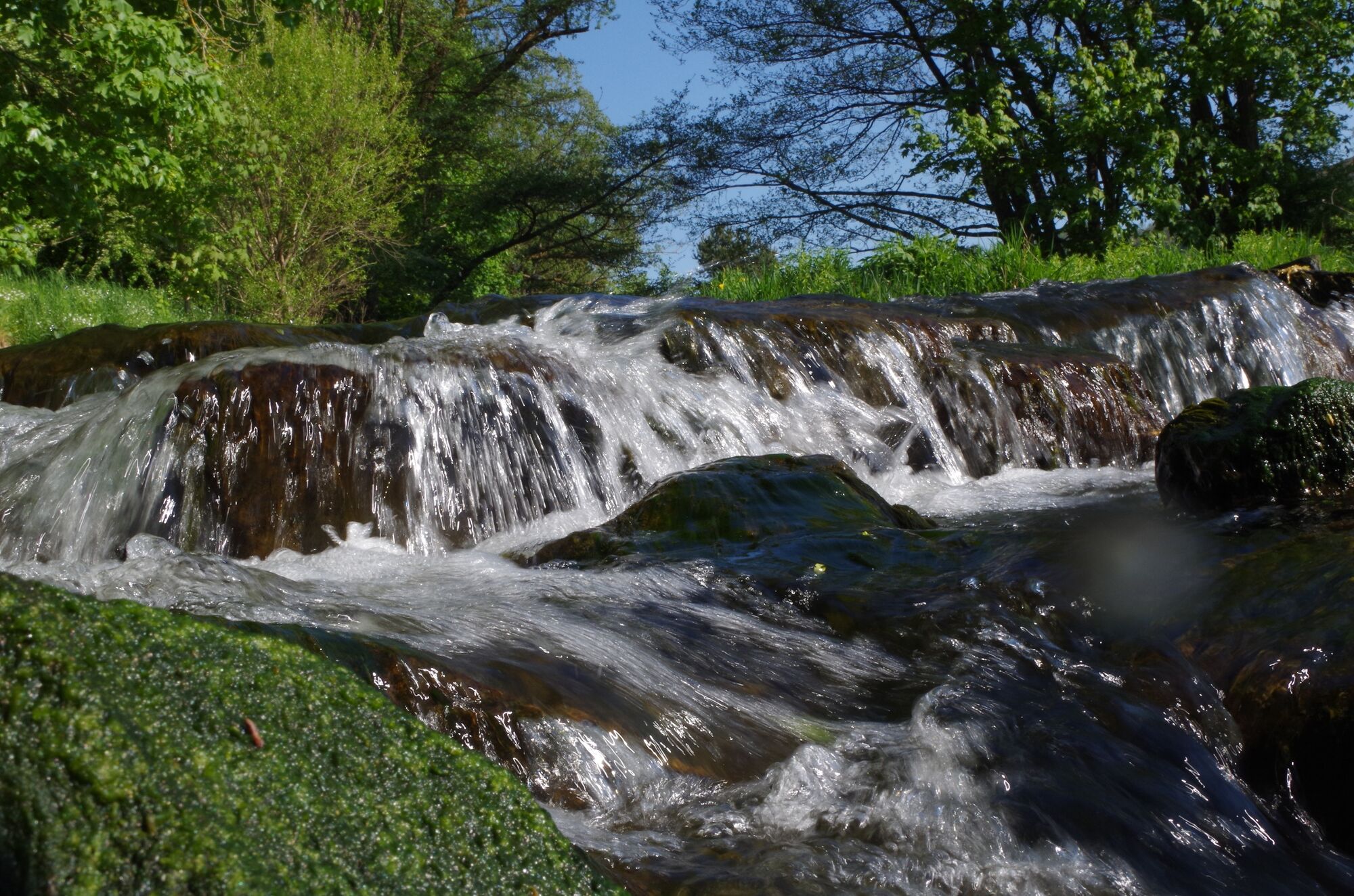
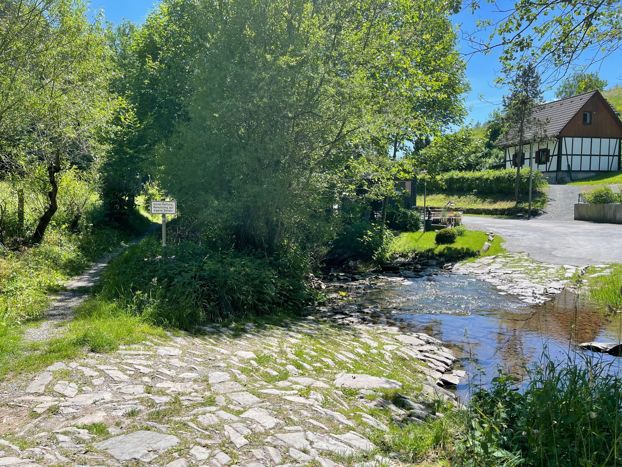
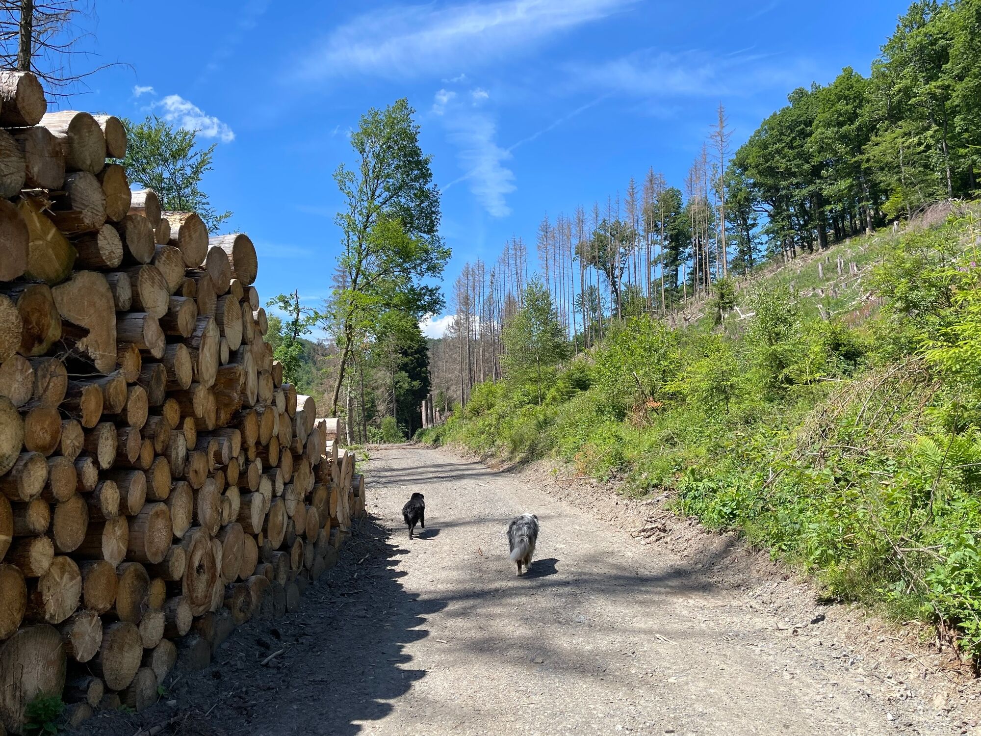
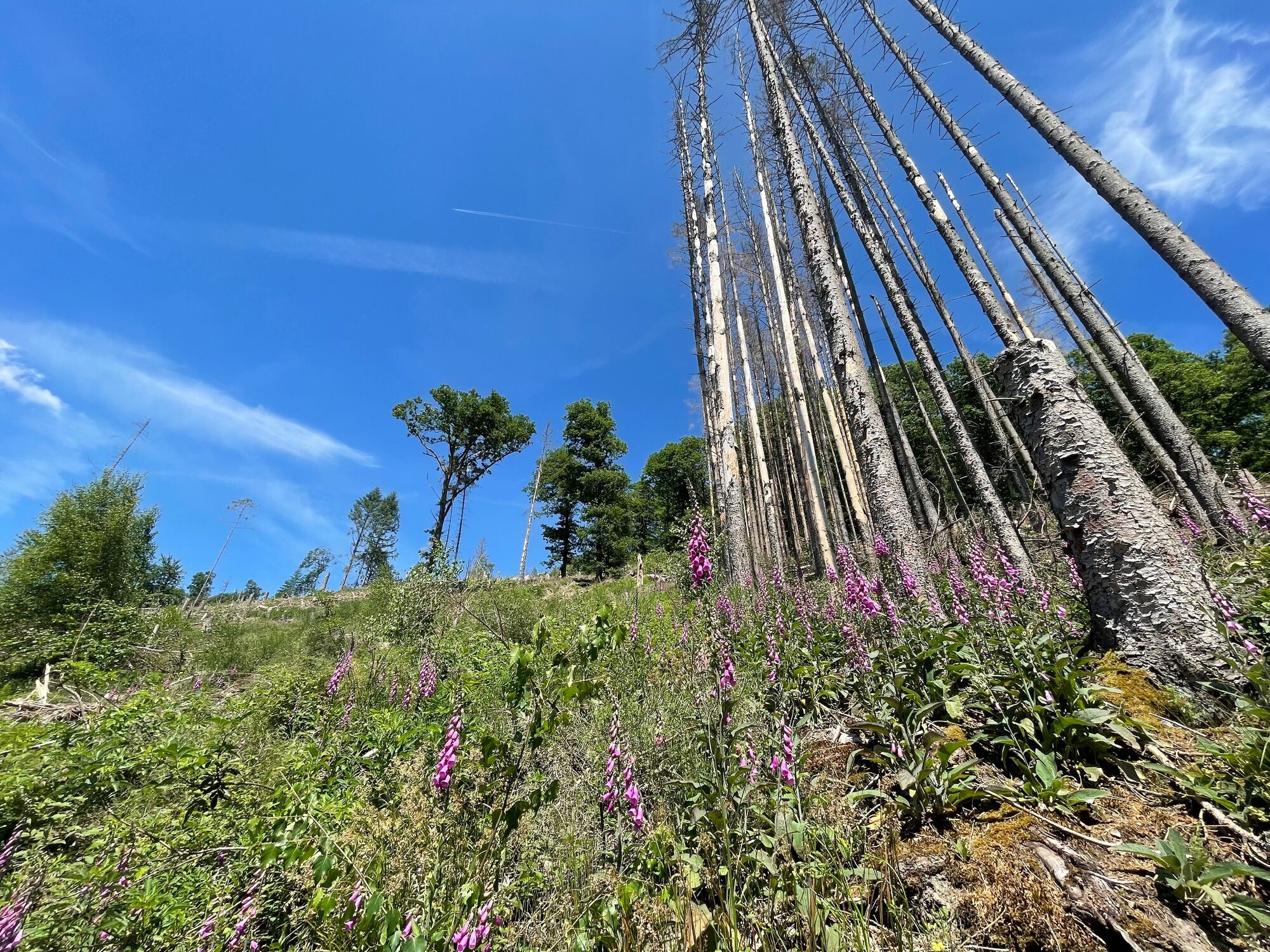
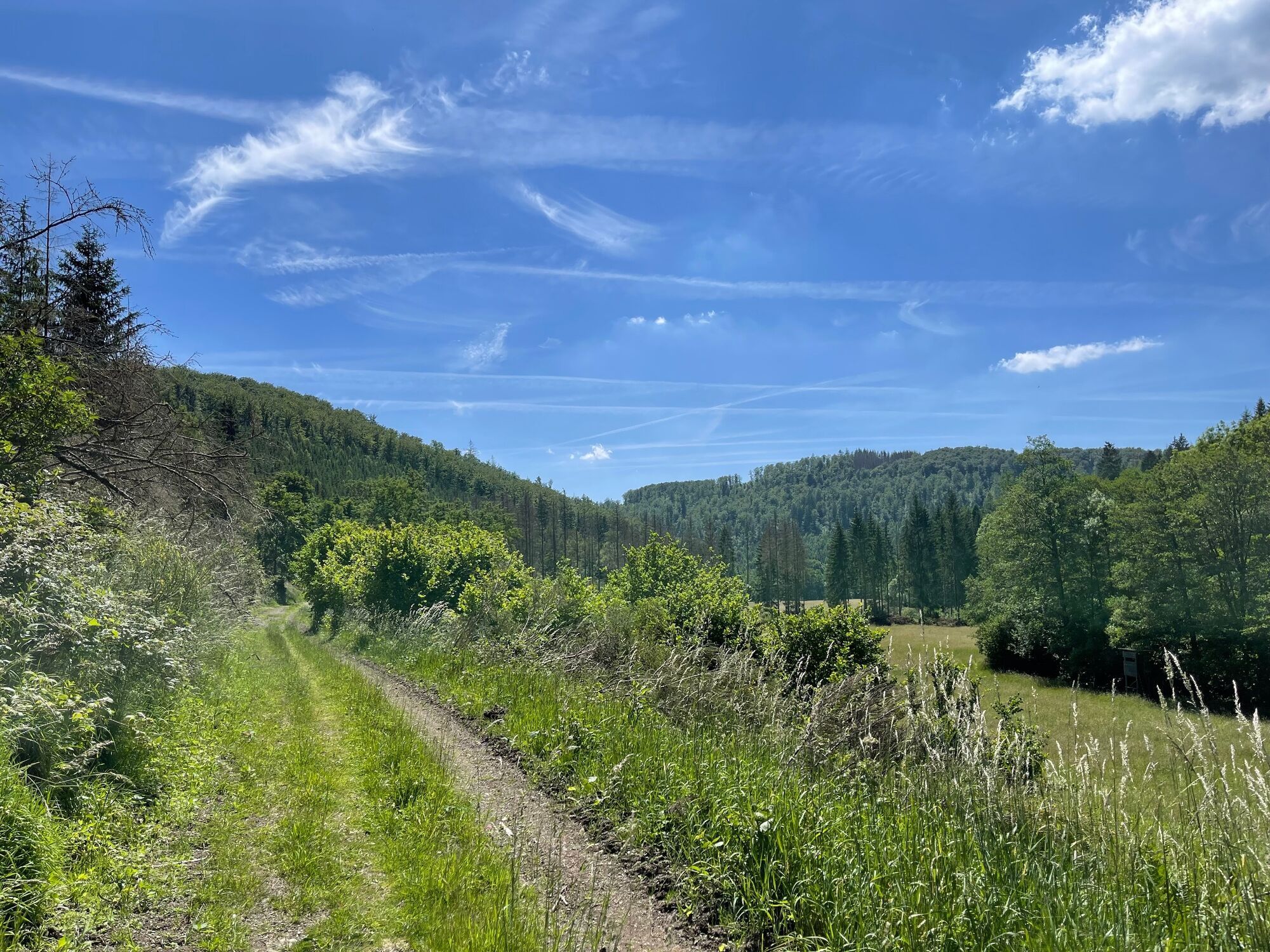
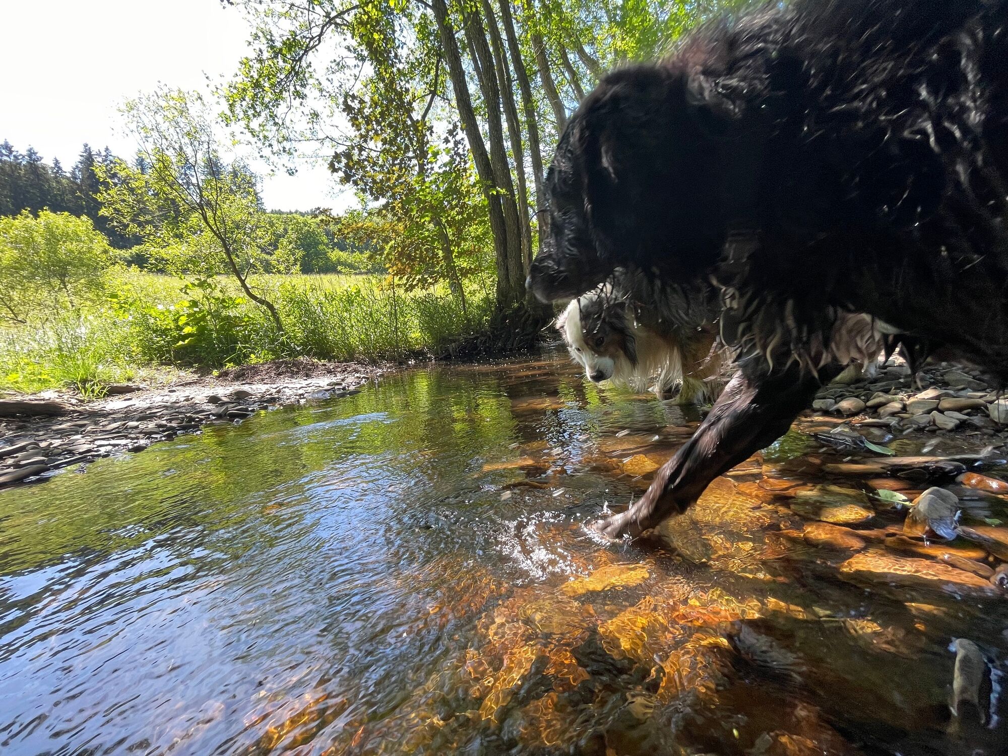
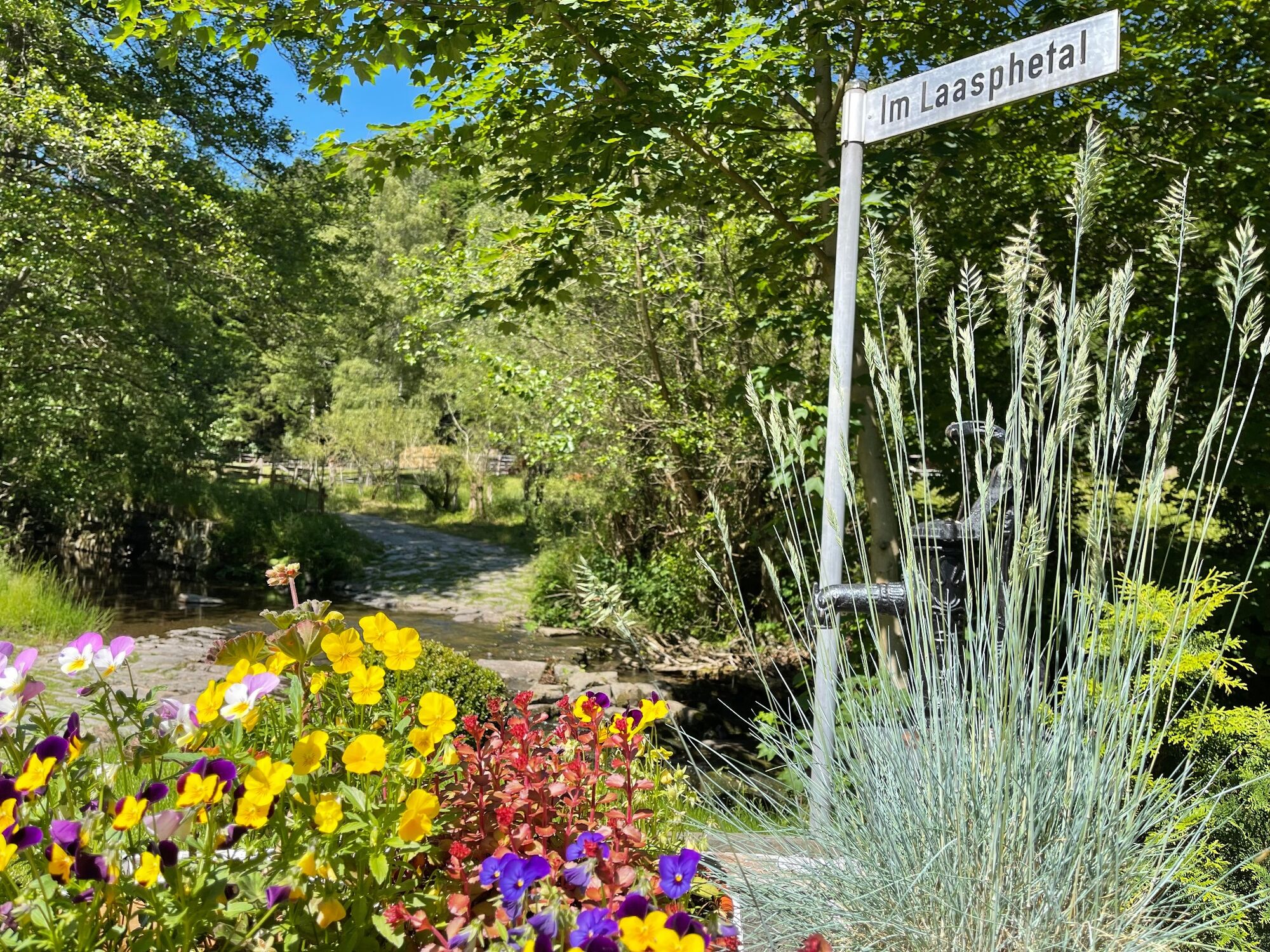
Wunderschöne Rundtour, die zunächst lange an unserem kleinen Bach "Laasphe" verläuft, um dann auf die aussichtsreichen Berge rund um die mystische Teufelskanzel abzubiegen.
- Difficoltà
-
intermedio
- Valutazione
-
- Percorso
-
Bad Laasphe0,1 kmStadtkirche Bad Laasphe0,2 kmBracht2,9 kmBad Laasphe10,4 km
- La stagione migliore
-
genfebmaraprmaggiulugagosetottnovdic
- Punto più alto
- 543 m
- Destinazione
-
Wanderkarte - Wanderportal Wilhelmsplatz / Haus des Gastes Bad Laasphe (Stadtmitte)
- Profilo altimetrico
-
 © outdooractive.com


-

-
AutoreIl tour L4 - Ortswanderweg Bad Laasphe "Laasphetal und Butzeberg" è utilizzato da outdooractive.com fornito.
GPS Downloads


Info generali
Punto di ristoro
Culturale/Storico
Promettente
Altri tour nelle regioni
-
Westerwald / Hessen
711
-
Ederbergland
734
-
Bad Laasphe
91