![Logo Schmidter Nationalparkroute [30]](https://vcdn.bergfex.at/images/resized/0f/90d5aa37254b840f_ed7211800f45a872@2x.png)

Dati percorsi
13,98km
198
- 448m
327hm
317hm
03:29h
- Descrizione rapida
-
*Zu den Eichenwälder des Odenbaches"
- Difficoltà
-
intermedio
- Valutazione
-
- Percorso
-
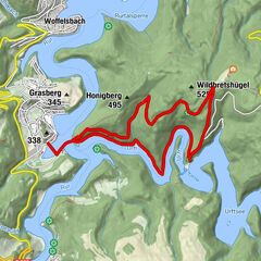
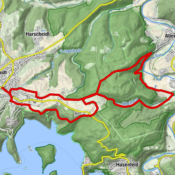
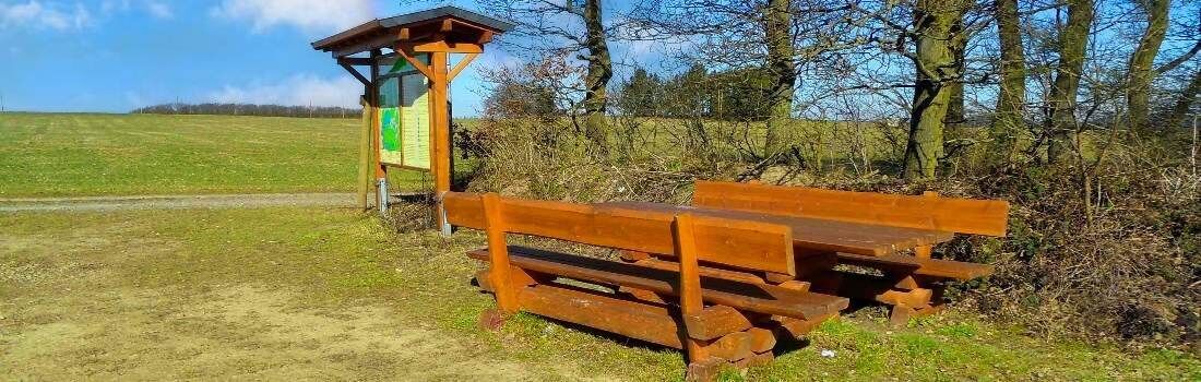
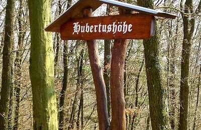
SchmidtSankt HubertusRestaurant eine Linde0,1 kmBlens8,6 kmScheidbaum12,1 kmSchmidt13,8 km
- La stagione migliore
-
genfebmaraprmaggiulugagosetottnovdic
- Punto più alto
- 448 m
- Cartine
-
Wanderkarte Rureifel

- Fonte
- Wandergebiet Rureifel, Nationalpark Eifel, Hohes Venn
GPS Downloads


Condizioni dei sentieri
Asfalto
Ghiaia
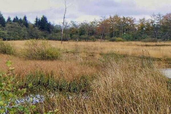
Prato
Foresta
Roccia
Esposta
Altri tour nelle regioni
-
Eifel & Aachen
1426
-
Nordeifel
835
-
Simmerath-Rurberg
447